Image:Ontario French service areas.png
From Wikipedia, the free encyclopedia
No higher resolution available.
Ontario_French_service_areas.png (378 × 379 pixels, file size: 7 KB, MIME type: image/png)
| | This is a file from the Wikimedia Commons. The description on its description page there is shown below.
|
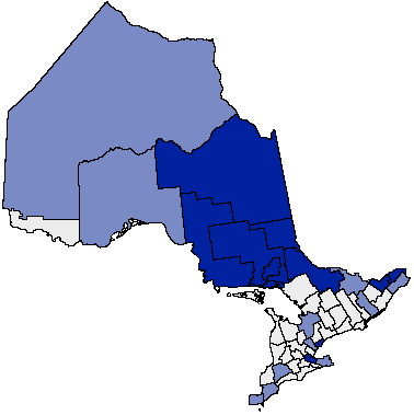
French service areas in Ontario
| This image has been released into the public domain by its author, Earl Andrew. This applies worldwide. In some countries this may not be legally possible; if so: العربية | Български | Deutsch | Ελληνικά | English | Español | Français | Italiano | 日本語 | 한국어 | Polski | Русский | Српски / Srpski | Svenska | தமிழ் | Українська | 中文(繁體) | 中文(简体) +/- |
File history
Click on a date/time to view the file as it appeared at that time.
| Date/Time | Dimensions | User | Comment | |
|---|---|---|---|---|
| current | 11:43, 20 January 2008 | 378×379 (7 KB) | Voyager | (French service areas in Ontario {{PD-user|Earl Andrew}} Category:Maps of Ontario) |
File links
The following pages on the English Wikipedia link to this file (pages on other projects are not listed):

