Image:OHMap-doton-Loveland.png
From Wikipedia, the free encyclopedia
No higher resolution available.
OHMap-doton-Loveland.png (274 × 300 pixels, file size: 10 KB, MIME type: image/png)
| | This is a file from the Wikimedia Commons. The description on its description page there is shown below.
|
[edit] Summary
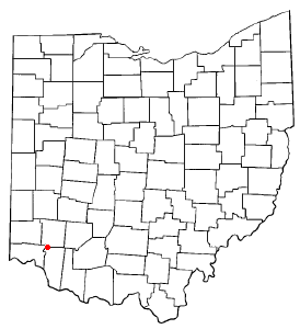
County map of Ohio, with a red dot at Loveland, Ohio, which is located in three counties. Adapted from Wikipedia's OH county maps by Catbar.
[edit] Licensing
 |
Permission is granted to copy, distribute and/or modify this document under the terms of the GNU Free Documentation License, Version 1.2 or any later version published by the Free Software Foundation; with no Invariant Sections, no Front-Cover Texts, and no Back-Cover Texts. Subject to disclaimers. Asturianu | Български | Català | Deutsch | English | Español | Français | Gaeilge | Italiano | 한국어 | 日本語 | Polski | Português | Română | Türkçe | +/- |
File history
Click on a date/time to view the file as it appeared at that time.
| Date/Time | Dimensions | User | Comment | |
|---|---|---|---|---|
| current | 11:22, 30 January 2006 | 274×300 (10 KB) | Mxn | (County map of Ohio, with a red dot at '''Loveland, Ohio''', which is located in three counties. Adapted from Wikipedia's OH county maps by Catbar. {{GFDL-user|Catbar|en}} Category:Maps of Ohio) |
File links
The following pages on the English Wikipedia link to this file (pages on other projects are not listed):

