Talk:Ohio State Route 633
From Wikipedia, the free encyclopedia

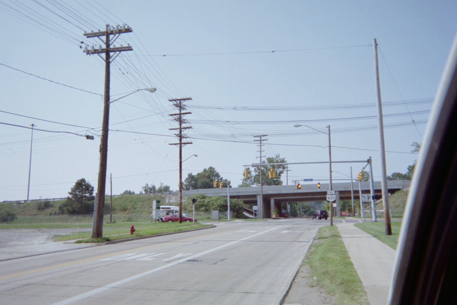
[edit] Northern end
The only map that I've showing 633 going all the way to 283 is the index outline in the Lake/Geauga red book; since the actual map page correctly shows the only 633 shield between SR 2 and US 20, we can assume that the index map is in error. (The Cuyahoga red book doesn't identify 633 at all). All ODOT records, plus every map at the ODOT archive, also show it ending at Lakeland Blvd. (pre-freeway alignment of SR-2). That's also where the end sign is. Mapsax (talk) 19:03, 4 April 2008 (UTC)
Categories: Stub-Class Ohio articles | Unknown-importance Ohio articles | WikiProject Ohio | Wikipedia requested maps of roads in Ohio | Stub-Class Ohio road transport articles | Mid-importance Ohio road transport articles | U.S. Roads project articles needing maps | Stub-Class U.S. road transport articles | Mid-importance U.S. road transport articles

