Image:Normal Mercator map 85deg.jpg
From Wikipedia, the free encyclopedia
Size of this preview: 600 × 600 pixels
Full resolution (2,400 × 2,400 pixels, file size: 915 KB, MIME type: image/jpeg)
| | This is a file from the Wikimedia Commons. The description on its description page there is shown below.
|
[edit] Beschreibung
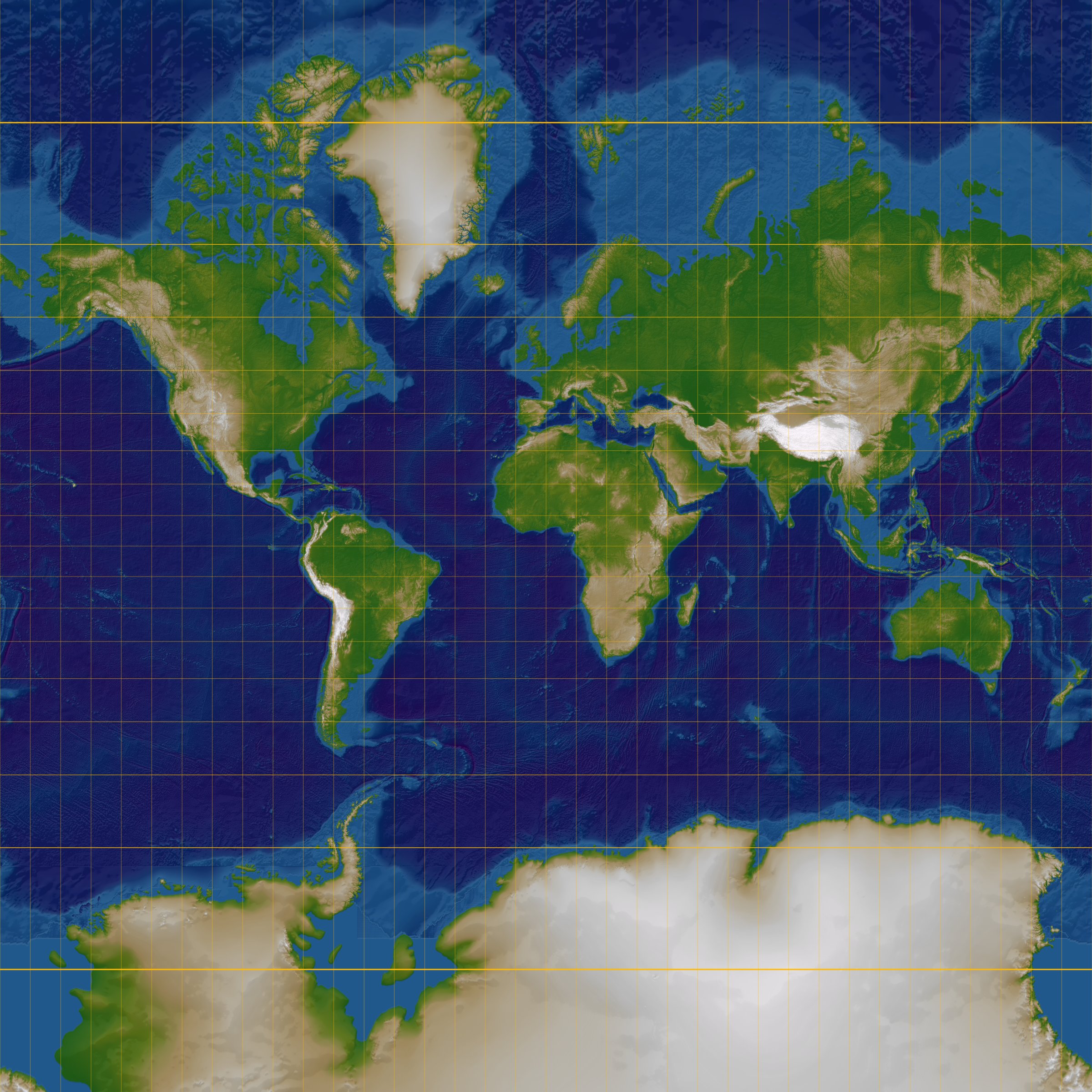
| Description |
English: Normal Mercator projection. Map center is at 0° E, 0° N. Maximum latitude is 85.051129° N/S to make a square map
Deutsch: Polare gnomonische Azimutalprojektion. Kartenzentrum: 0° E, 0°N. Maximaler Breitengrad: 85.051129° N/S, um die Karte quadratisch zu machen
|
|---|---|
| Source |
own work |
| Date |
2006-08-20 |
| Author |
Lars H. Rohwedder (User:RokerHRO) |
| Permission (Reusing this image) |
see below |
[edit] Licensing

File history
Click on a date/time to view the file as it appeared at that time.
| Date/Time | Dimensions | User | Comment | |
|---|---|---|---|---|
| current | 16:32, 20 August 2006 | 2,400×2,400 (915 KB) | RokerHRO | ({{Information |Description= {{en|Normal Mercator projection. Map center is at 0° E, 0° N. Maximum latitude is 85.051129° N/S to make a square map}} {{de|Polare gnomonische Azimutalprojektion. Kartenzentrum: 0° E, 0°N. Maximaler Breitengrad: 85.051129) |
File links
No pages on the English Wikipedia link to this file. (Pages on other projects are not counted.)

