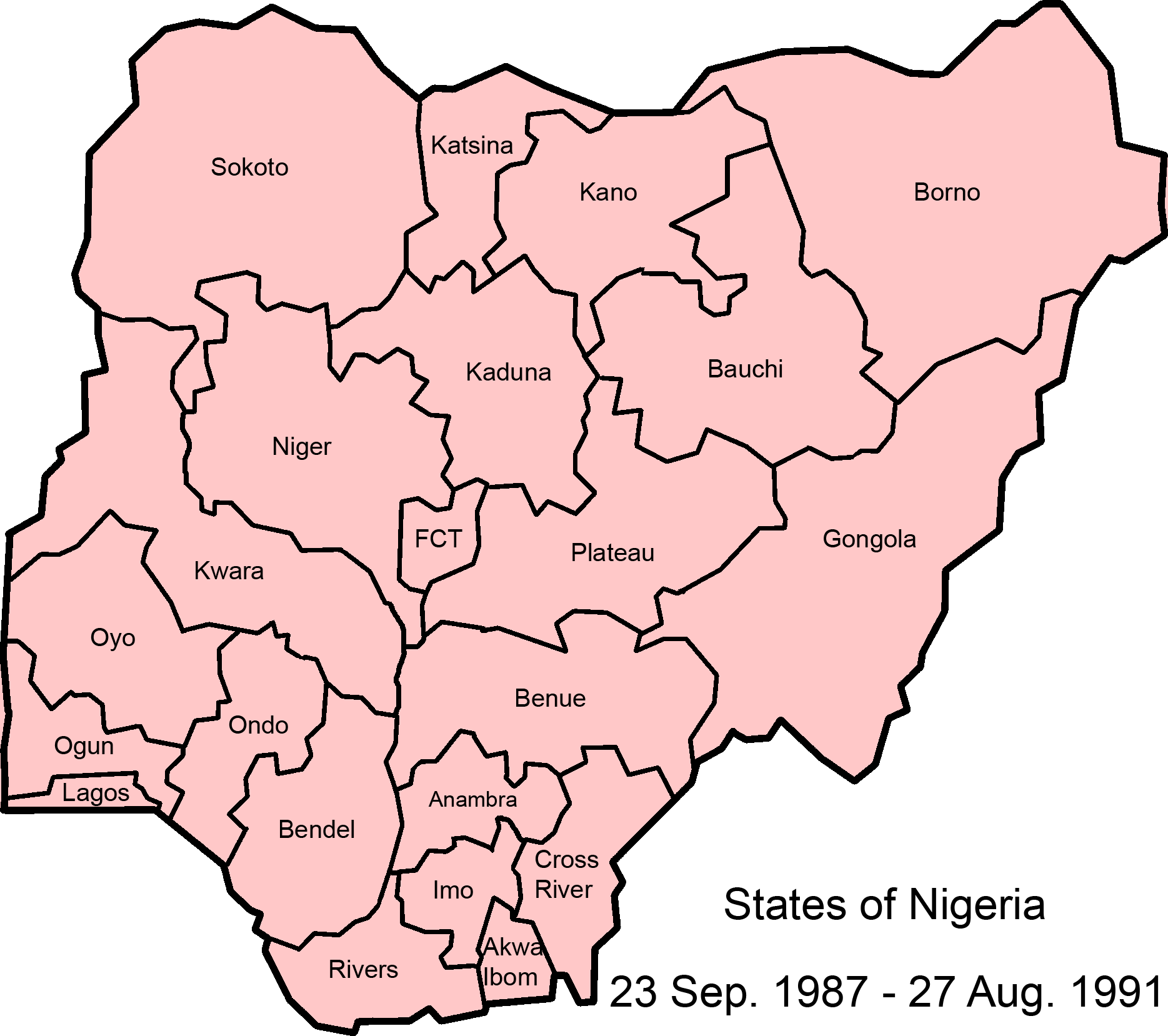
Image:Nigeria states 1987-1991.png
From Wikipedia, the free encyclopedia
Size of this preview: 676 × 600 pixels
Full resolution (1,869 × 1,658 pixels, file size: 106 KB, MIME type: image/png)
| | This is a file from the Wikimedia Commons. The description on its description page there is shown below.
|

File history
Click on a date/time to view the file as it appeared at that time.
| Date/Time | Dimensions | User | Comment | |
|---|---|---|---|---|
| current | 09:03, 27 July 2007 | 1,869×1,658 (106 KB) | Roke | ({{Information |Description=Map of Nigerian states, 23 Sep 1987 - 27 August 1991. |Source=Made from GNU licenced Image:NigeriaCapitalTerritory.png, using information from [http://www.statoids.com/ung.html statoids] and [http://www.cnn.com/SPECIALS/19) |
File links
The following pages on the English Wikipedia link to this file (pages on other projects are not listed):

