Image:NicholasCountySignWV.jpg
From Wikipedia, the free encyclopedia
Size of this preview: 728 × 600 pixels
Full resolution (1,864 × 1,536 pixels, file size: 722 KB, MIME type: image/jpeg)
| | This is a file from the Wikimedia Commons. The description on its description page there is shown below.
|
| Description |
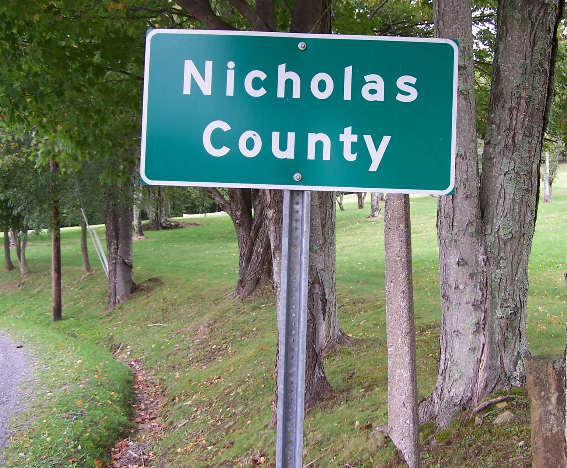
English: Self-made photo of the markers of the border between Nicholas County, West Virginia, and Greenbrier County, West Virginia located along Greenbrier Road (Nicholas county Route 39-11/Greenbrier County Route 39-1) near Richwood, West Virginia taken on September 24, 2006.
(Note: the sign itself, and not the photograph, is crooked) |
|---|---|
| Source |
Transfered from en.wikipedia |
| Date |
2006-09-26 (original upload date) |
| Author |
Original uploader was Youngamerican at en.wikipedia |
| Permission (Reusing this image) |
GFDL-SELF-WITH-DISCLAIMERS; Released under the GNU Free Documentation License. |
[edit] License information

|
[edit] Original upload log
The original description page is/was here. All following user names refer to en.wikipedia.
- 2006-09-26 13:34 Youngamerican 1864×1536×8 (739299 bytes) Self-made photo of the markers of the border between Nicholas County, West Virginia, and Greenbrier County, West Virginia located along Greenbrier Road (Nicholas county Route 39-11/Greenbrier County Route 39-1) near Richwood, West Virginia taken on Septem
File history
Click on a date/time to view the file as it appeared at that time.
| Date/Time | Dimensions | User | Comment | |
|---|---|---|---|---|
| current | 07:41, 19 December 2007 | 1,864×1,536 (722 KB) | Scott5114 | ({{Information |Description={{en|Self-made photo of the markers of the border between Nicholas County, West Virginia, and Greenbrier County, West Virginia located along Greenbrier Road (Nicholas county Route 39-11/Greenbrier County Route 39-1) near Richwoo) |
File links
Metadata
This file contains additional information, probably added from the digital camera or scanner used to create or digitize it. If the file has been modified from its original state, some details may not fully reflect the modified file.
| Camera manufacturer | EASTMAN KODAK COMPANY |
|---|---|
| Camera model | KODAK DX6490 ZOOM DIGITAL CAMERA |
| Exposure time | 1/90 sec (0.011111111111111) |
| F-number | f/2.8 |
| Date and time of data generation | 02:39, 2 January 2003 |
| Lens focal length | 6.3 mm |
| Orientation | Normal |
| Horizontal resolution | 230 dpi |
| Vertical resolution | 230 dpi |
| Y and C positioning | 1 |
| Exposure Program | Normal program |
| Exif version | 2.2 |
| Date and time of digitizing | 02:39, 2 January 2003 |
| Shutter speed | 6.5 |
| Aperture | 3 |
| Exposure bias | 0 |
| Maximum land aperture | 3 |
| Metering mode | Pattern |
| Light source | Unknown |
| Flash | 24 |
| Color space | sRGB |
| Exposure index | 80 |
| Sensing method | One-chip color area sensor |
| Custom image processing | Normal process |
| Exposure mode | Auto exposure |
| White balance | Auto white balance |
| Digital zoom ratio | 0 |
| Focal length in 35 mm film | 38 |
| Scene capture type | Standard |
| Contrast | Normal |
| Saturation | Normal |
| Sharpness | Normal |
| Subject distance range | Macro |

