New York State Route 208
From Wikipedia, the free encyclopedia
 |
|||||||||||||
| NY Route 208 |
|||||||||||||
 |
|||||||||||||
| Length: | 34.81 mi[1] (56.02 km) | ||||||||||||
|---|---|---|---|---|---|---|---|---|---|---|---|---|---|
| Formed: | 1930[2] | ||||||||||||
| South end: | |||||||||||||
| Major junctions: |
|||||||||||||
| North end: | |||||||||||||
| Counties: | Orange, Ulster | ||||||||||||
|
|||||||||||||
|
|
|||||||||||||
New York State Route 208 is a New York state highway in southern New York, within Orange County and Ulster County. The southern terminus is at the intersection with NY 17M in Monroe, and the northern terminus is located at the intersection with NY 32 and NY 299 in New Paltz.
208 is a two-lane road for its entire length. While connecting two bustling villages and passing through three others, it is primarily a country road and offers a variety of scenery and points of interest, from fields and meadows to a riverside stretch and apple orchards. The northern third, between Wallkill and New Paltz, boasts a near-continuous view of the Shawangunk Ridge.
Contents |
[edit] Route description

[edit] Orange County
From its southern terminus at a busy traffic light in Monroe, Route 208 quickly crosses US 6 and NY 17 and then stays in the shade of the southwestern corner of Schunemunk Mountain as it heads north to Washingtonville, remaining relatively straight through mostly wooded, undeveloped country with some views of the mountain. Round Hill Elementary School heralds the approach of the village. Shortly after entering Washingtonville, it intersects with NY 94.
Again it crosses the village line rather quickly, going through some sharp curves as it enters more open farmland. Here 208 also deviates from its northward course, heading much more westward as it picks up the headwaters of Moodna Creek and passes its source, the confluence of Otter Kill and Cromline Creek. Shortly afterwards, it again turns northward at the Sarah Wells Trail junction. Eventually the land surrounding the highway once again becomes more wooded and it goes through a short tunnel under the railroad tracks shared by Norfolk Southern and Metro-North.
A mile or so past the tunnel, 208 abruptly reaches NY 207 outside the hamlet of Rock Tavern. 208 overlaps 207 for a hundred yards as the two roads pass small Brown's Pond and a weir, then 208 once again turns left to go north alongside the pond, into some more open countryside. It passes the west boundary of Stewart State Forest, goes over a little-used rail spur, once part of the Wallkill Valley Railroad (WVRR) and then enters Maybrook, which it serves as the main street. A feature of this town is the large Yellow Freight terminal in its north end, continuing a tradition of importance in transportation that began with the village's origins as a major regional rail hub.

Shortly after leaving Maybrook, 208 reaches I-84. This exit, the only one for several miles in either direction on the interstate, has seen an increase in development in the last few years, with Hess and Mobil building new gas stations or refurbishing old ones recently, and Exxon sitting pretty in a desirable location. McDonald's, Burger King, Dunkin' Donuts and Subway are also present to attend to whatever alimentary needs motorists cannot address at the convenience stores attached to the gas stations. A large truck stop is located a short distance away on Neelytown Road. Here, for the only point on its entire length, 208 swells beyond two lanes with the addition of turn lanes for the interstate's onramps.
North of I-84, the road remains a two-lane even though growth in the Town of Montgomery in recent years has led to it becoming increasingly backed up at rush hour. Proposals to expand it are vigorously opposed by most local residents.

Much of this congestion is created by traffic waiting to turn at Scotts Corners, the intersection with NY 17K. This junction may appear relatively as it did a decade or so ago, but much development nearby has created a situation where motorists observe a de facto left turn lane for northbound traffic. The nearby presence of three of the Valley Central School District's buildings, including the middle and high schools, has swelled traffic so much the school board adopted a more staggered schedule before the 2004 academic year in an attempt to lighten the load. On weekends there are also many out-of-state visitors headed for the Orange County Choppers' retail outlet a short distance east on 17K (the weekend it opened, cars were parked on both sides of both roads for some distance from the intersection).
Continuing north, 208 goes around some mild bends past woods and fields. Here the highway offers its first view to the Shawangunks. In 2 miles (3.2 km) it reaches Walden, the largest community on 208 after Monroe. After crossing the old WVRR main line, now the north end of a lightly-used freight spur, it becomes Orange Avenue with a mix of residential and commercial properties. In the center of town NY 52 comes in from the east at an oblique angle more like a merger than a junction; traffic at rush hour there is made more difficult by vehicles attempting to cross 52 and enter the adjacent Hess station as well as a local one-way side street. Since 52 comes in at a slightly lower elevation, it has the right of way, guaranteed by the stop sign greeting drivers on 208.
The two roads make an unsigned concurrency for about two blocks of East Main Street before a traffic light separates them; traffic on 208 turns right, on Ulster Avenue, to continue north. This takes the traveler past some of Walden's older homes and Most Precious Blood Catholic school before finally leaving the village at the Tin Brook bridge, whereupon it almost immediately bends westward at the Lake Osiris Road junction for a short distance, curving north again when it reaches the Wallkill River.
[edit] Ulster County
The mile of highway along the Wallkill is at first wooded and curvy but then offers many pleasant riverside scenes. A burned-out former Borden Cheese factory is the last highlight before crossing the county line. This section of the river is popular with local fishermen and there are many informal parking spots available (In winters when it is cold enough for the river to freeze over, snowmobile trails can be seen on the ice). A Ulster County sheriff's substation is the first in a string of buildings that indicate the road has reached the hamlet of Wallkill.
Immediately east of the hamlet's business district, at Wallkill Library it turns right onto Main Street and takes a more easterly course out of town, past some rolling fields and Wallkill Middle School. At the only traffic light here, the northern terminus of NY 300, it regains its northward orientation, which it will keep for its final 11 miles (17.6 km) to New Paltz.

While remaining two-lane, the roadway itself is a little wider here, encouraging drivers to accelerate as the woodlots surrounding them give way to the cornfields of Wallkill and Shawangunk state prisons and the panoramic view of the Shawangunk Ridge across the river valley that continues most of the way to New Paltz (Sometimes the summit of Slide Mountain, the Catskill Mountains' highest peak, is visible over the ridge).

As the drive continues, the Catskill Aqueduct crosses and recrosses the road several times and orchards become the primary agricultural use of the adjoining land. This is one of the state's prime apple-growing regions, and several local apple farmers sell fresh-pressed cider at their stands along the road in the fall.
The only traffic light along this stretch is at Ireland Corners, the slightly-developed intersection with US 44 and NY 55 just east of Gardiner. It marks the midway point between Wallkill and New Paltz.
North of here, even better views of the Shawangunks open up with the observation tower at Mohonk Mountain House becoming prominent to the west. The Devil's Path in the Greene County Catskills appears to the north on clear enough days. Some vineyards join the orchards along the road, reflecting a developing local wine industry. The campus of SUNY New Paltz starts to form a distinct skyline to the north, and to the east the ridgeline of Illinois Mountain complements the Shawangunks.

The views reach their peak at the New Paltz town line, then 208 descends from the rise it has reached. After some tight curves and bends, SUNY's athletic fields to the east herald entry into the village of New Paltz, where 208 becomes South Chestnut Street. A mile into the village, it reaches its northern terminus at a busy intersection at the edge of downtown with NY 299 and NY 32. Continuing north from here puts a driver on the latter.
[edit] History
The earliest of the road segments that make up Route 208 dates to 1735, when a "Highway Deed" was drawn up for a segment in the Town of Montgomery, then in Ulster County, from the Shawangunk town line to what was then the Goshen town line (today Hamptonburgh). When it came to acquire a name, it was first Walden Road. In 1950, Maybrook renamed its portion Homestead Avenue in honor of early settlers whose houses stood or had stood along the road.[3]
[edit] Designation
NY 208 was assigned to its current routing between Monroe and Washingtonville in the 1930 renumbering.[2] By 1935, the route was extended north to its current terminus in New Paltz.[4] Prior to 1930, the entirety of NY 208 was unnumbered.[2]
When U.S. Route 6 was rerouted to follow the new Quickway and NY 32 between Monroe and Central Valley between 1952 and 1962, NY 208 was extended northeast from Monroe to follow the former routing of US 6 to Highland Mills, where it terminated at NY 32.[5][6] This extension of NY 208 remained in place until April 1, 1980, when ownership and maintenance of NY 208 from Schunnemunk Street in Monroe to Highland Mills was turned over to Orange County as part of a large highway maintenance swap between the county and New York State.[7] Following the swap, NY 208 was rerouted within Monroe to follow its current alignment between NY 17M and Schunnemunk Street while the former routing of NY 208 between Monroe and Highland Falls was redesignated as County Route 105.[8]
In 2006,[citation needed] the portion of the route between Washingtonville and New Paltz was also designated as State Bicycle Route 208.[9]
[edit] New Jersey connection
In the 1940s, the New Jersey Department of Transportation planned to link a spur route then called Route S4B from Paramus up though Bergen County to connect with NY 208 at Monroe.[citation needed] The road never got any further than Oakland, but it was renumbered to Route 208 in 1953.[10]
[edit] Future

The village of Walden has noted, in its 2005 Comprehensive Plan, the difficulties created by the oblique intersection at the southern end of the Route 52 concurrency. Traffic on northbound 208 comes to a stop sign at the intersection, where 52 comes in from the right at a slightly lower grade and a sharp angle, with the view mostly blocked by a building. It is also just opposite one of two curb cuts for a busy Hess gas station. At rush hour, the traffic light at the nearby northern end often backs cars up along 52 for some distance, making the turn into the gas station difficult, especially when vehicles on 52 make the left turn into the curb cut.[11]
The layout of the intersection is very poor for trucks making this turn, and the congestion all these factors create has been forcing more drivers to resort to side streets, the village believes, since traffic counts have been going up on 52 and 208 but down on the concurrency. It is hoping to work with the state DOT on marking an alternate route for trucks.[12]
[edit] Major intersections
| County | Location | Mile[1] | Roads intersected | Notes |
|---|---|---|---|---|
| Orange | Town of Monroe | 0.00 | ||
| 0.88 | Exit 130 (US 6/NY 17). | |||
| Washingtonville | 7.42 | |||
| Rock Tavern | 11.10 | Western terminus of overlap. | ||
| 11.23 | Eastern terminus of overlap. | |||
| N of Maybrook | 15.72 | Exit 5 (I-84). | ||
| Scotts Corners | 16.82 | |||
| Walden | 19.43 | Eastern terminus of overlap. | ||
| 19.49 | Western terminus of overlap. | |||
| Ulster | Wallkill | 23.75 | Northern terminus of NY 300. | |
| Gardiner | 29.08 | |||
| Village of New Paltz | 34.81 |
[edit] References
- ^ a b 2006 Traffic Data Report for New York State (PDF) p. 255. New York State Department of Transportation (2007-07-16). Retrieved on 2008-04-23.
- ^ a b c Automobile Legal Association (ALA) Automobile Green Book, 1930/31 and 1931/32 editions, (Scarborough Motor Guide Co., Boston, 1930 and 1931). The 1930/31 edition shows New York state routes prior to the 1930 renumbering
- ^ A Touch of Maybrook History at villageofmaybrook.com, retrieved June 8, 2007.
- ^ Sun Oil Company. Road Map & Historical Guide - New York [map]. Cartography by Rand McNally and Company. (1935)
- ^ Sunoco. New York [map]. Cartography by Rand McNally and Company. (1952)
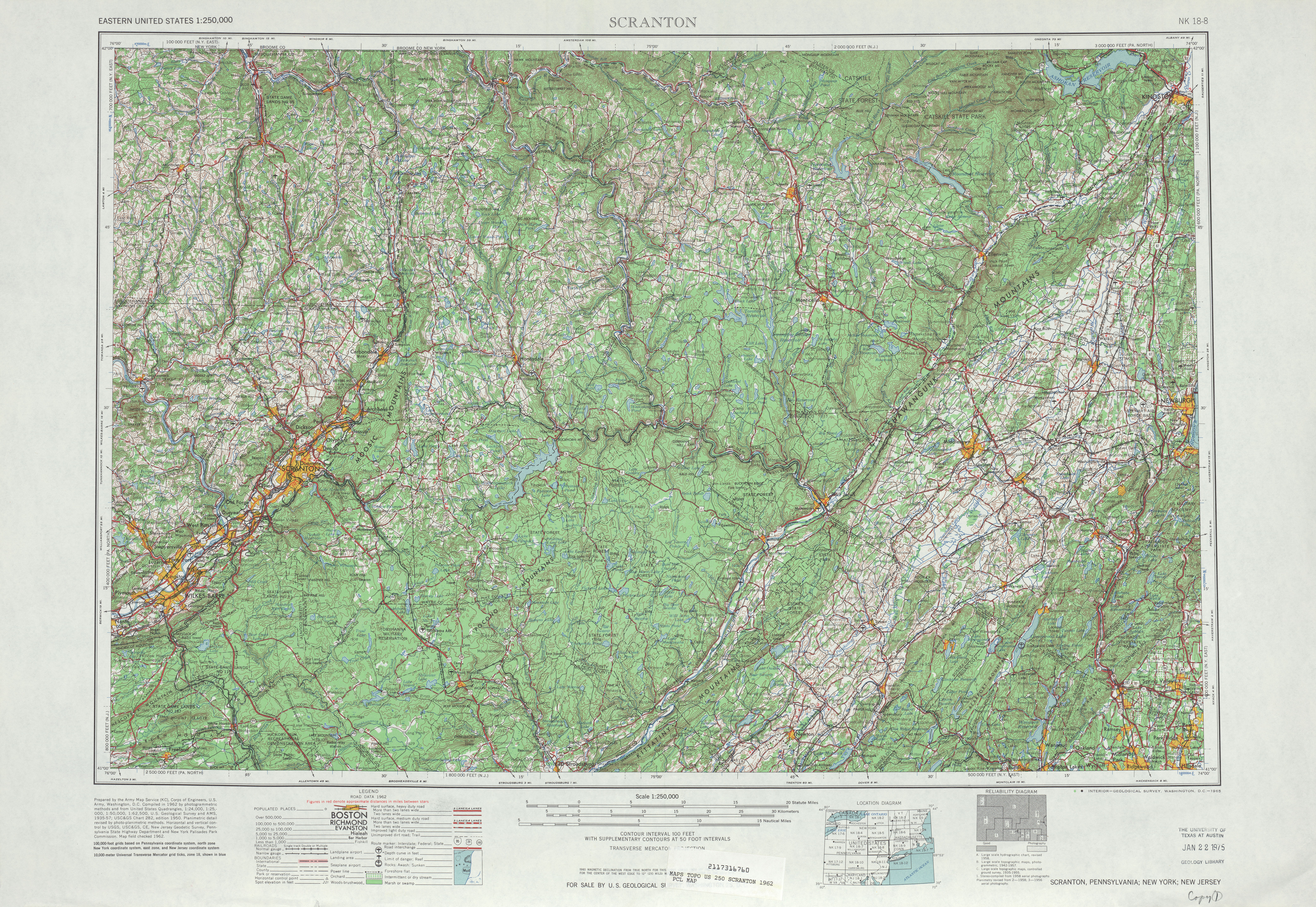
- ^ United States Geological Survey. Scranton, Pennsylvania; New York; New Jersey [map], 1 : 250,000, Eastern United States 1 : 250,000. (1962) Retrieved on 2008-02-17.
- ^ New York State Legislature. Highway Law, Article 12, Section 341. Retrieved on 2008-02-17.
- ^ New York State Department of Transportation. Monroe Quadrangle - New York - Orange County [map], 1 : 24,000. (1991) Retrieved on 2008-02-17. Although the markers appear to read "106", the markers on the full version of the quadrangle available here read "105".
- ^ New York State Department of Transportation (October 2007). Official Description of Highway Touring Routes, Bicycling Touring Routes, Scenic Byways, & Commemorative/Memorial Designations in New York State. Retrieved on 2008-02-17.
- ^ 1953 New Jersey state highway renumbering. Retrieved on 2007-10-22.
- ^ This can be verified by traveling to Walden and observing traffic at the intersection during rush hour.
- ^ Village of Walden 2005 Final Comprehensive Plan, Chapters 7-8PDF, 4-5, retrieved August 7, 2007.

