New York State Route 149
From Wikipedia, the free encyclopedia
 |
|||||||||||||
| NY Route 149 |
|||||||||||||
 |
|||||||||||||
| Length: | 32.11 mi[1] (51.68 km) | ||||||||||||
|---|---|---|---|---|---|---|---|---|---|---|---|---|---|
| Formed: | 1930s[2] | ||||||||||||
| West end: | |||||||||||||
| Major junctions: |
|||||||||||||
| East end: | |||||||||||||
| Counties: | Warren, Washington | ||||||||||||
|
|||||||||||||
New York State Route 149 is a state highway that stretches to the south of the Adirondacks. The road begins at Interstate 87 (the Adirondack Northway) in Queensbury and ends at the Vermont border in Granville, spanning a length of 32.11 miles (51.68 km). After Granville, Route 149 continues into Vermont as Vermont Route 149, a short connector road to Vermont Route 30. The road stretches through more of rural areas of Warren and Washington Counties. The road was assigned as an unnumbered road connecting New York State Route 9L in Queensbury to New York State Route 22 in Granville. The stretch from Granville to VT 30 was originally VT 30B before being renumbered 149.
The western section of Route 149 from I-87 to U.S. Route 4 is heavily traveled as it is one of the few direct ways to reach Vermont from northern New York.
Contents |
[edit] Route description

Route 149 begins at Exit 20 off the Adirondack Northway in Queensbury, New York.[3] 149 intersects with U.S. Route 9 in less than a .5 mi (0.8 km). 149 turns north and merges with Route 9 for a distance into Queensbury. During the concurrency, the northbound Adirondack Northway is accessible from the left.

After passing factory outlets, 149 turns to right at a traffic light. 149 then enters a more rural landscape for the next several miles.[3] New York State Route 9L crosses at 5.1 mi (8.2 km) in Queensbury. Old State Route 149 begins to the right just west of West Fort Ann. As 149 enters West Fort Ann, Old State Route 149 ends from the left. 149 enters the village of Fort Ann, where it becomes concurrent with U.S. Route 4 for about 2 mi (3 km), when it becomes a single road again. 149 then enters another rural area where it intersects and merges with New York State Route 40. 149 continues and merges into New York State Route 22 for .1 mi (0.2 km). 149 crosses the Vermont—New York border and becomes Vermont Route 149.[3]
[edit] History
NY 149 was established in the mid-1930s from a previously unnumbered road connecting New York State Route 9L in Queensbury to New York State Route 22 in Granville village. The short connection to Vermont Route 30 was assigned the number 30B at that time.[2] The 149 designation was later extended east into Vermont (replacing 30B) and west towards the Adirondack Northway between 1956 and 1967.[4][5]
An Interstate Highway (I-92) was planned to cover this section, but budget concerns by New York cancelled the New York portion. The section of U.S. 4 in Vermont between the New York / Vermont border and Rutland, Vermont was built to Interstate Highway specifications in anticipation of this.[6]
[edit] Major intersections
| County | Location | Mile[1] | Roads intersected | Notes |
|---|---|---|---|---|
| Warren | Queensbury | 0.00 | Exit 20 (I-87) | |
| 0.14 | Southern terminus of overlap | |||
| 0.64 | Northern terminus of overlap | |||
| 5.36 | ||||
| Washington | Village of Fort Ann | 12.60 | Northern terminus of overlap | |
| Kingsbury | 14.46 | Southern terminus of overlap | ||
| Hartford | 22.58 | Western terminus of overlap | ||
| 22.93 | Eastern terminus of overlap | |||
| Town of Granville | 30.55 | Southern terminus of overlap | ||
| 30.62 | Northern terminus of overlap | |||
| Village of Granville | 32.11 | Continuation into Vermont |
[edit] References
- ^ a b Traffic Data Report - NY 121 to NY 213 (PDF). NYSDOT (2007-07-16). Retrieved on 2007-12-22.
- ^ a b Automobile Legal Association (ALA) Automobile Green Book, 1931-1932 and 1938-39 editions, (Scarborough Motor Guide Co., Boston, 1931 and 1938)
- ^ a b c Google Maps. RT-149, New York, United States. Retrieved on 2007-08-27.
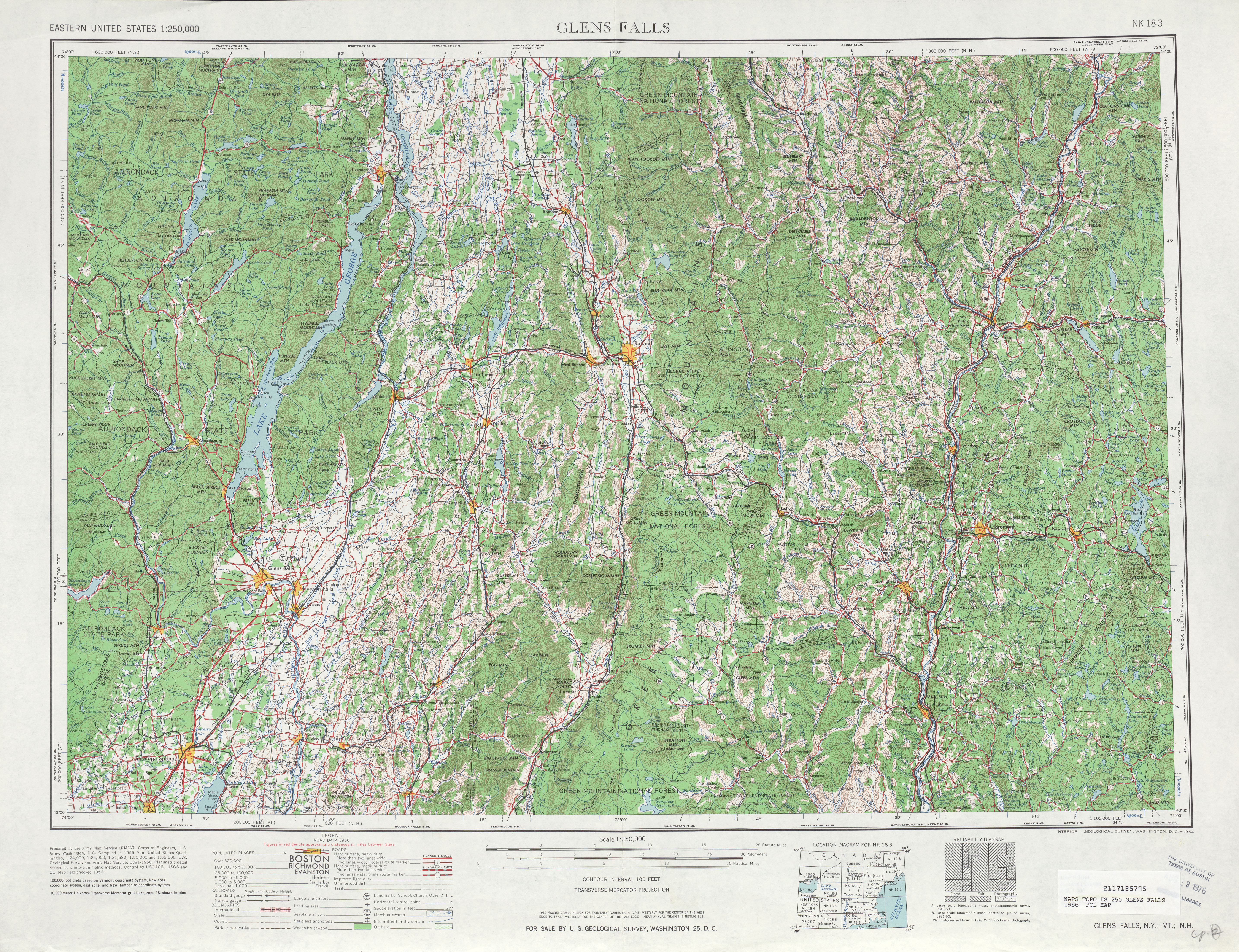
- ^ United States Geological Survey. Glens Falls, NY Quadrangle [map], 1:250,000, Eastern United States 1:250,000. (1956) Retrieved on 2007-12-24.
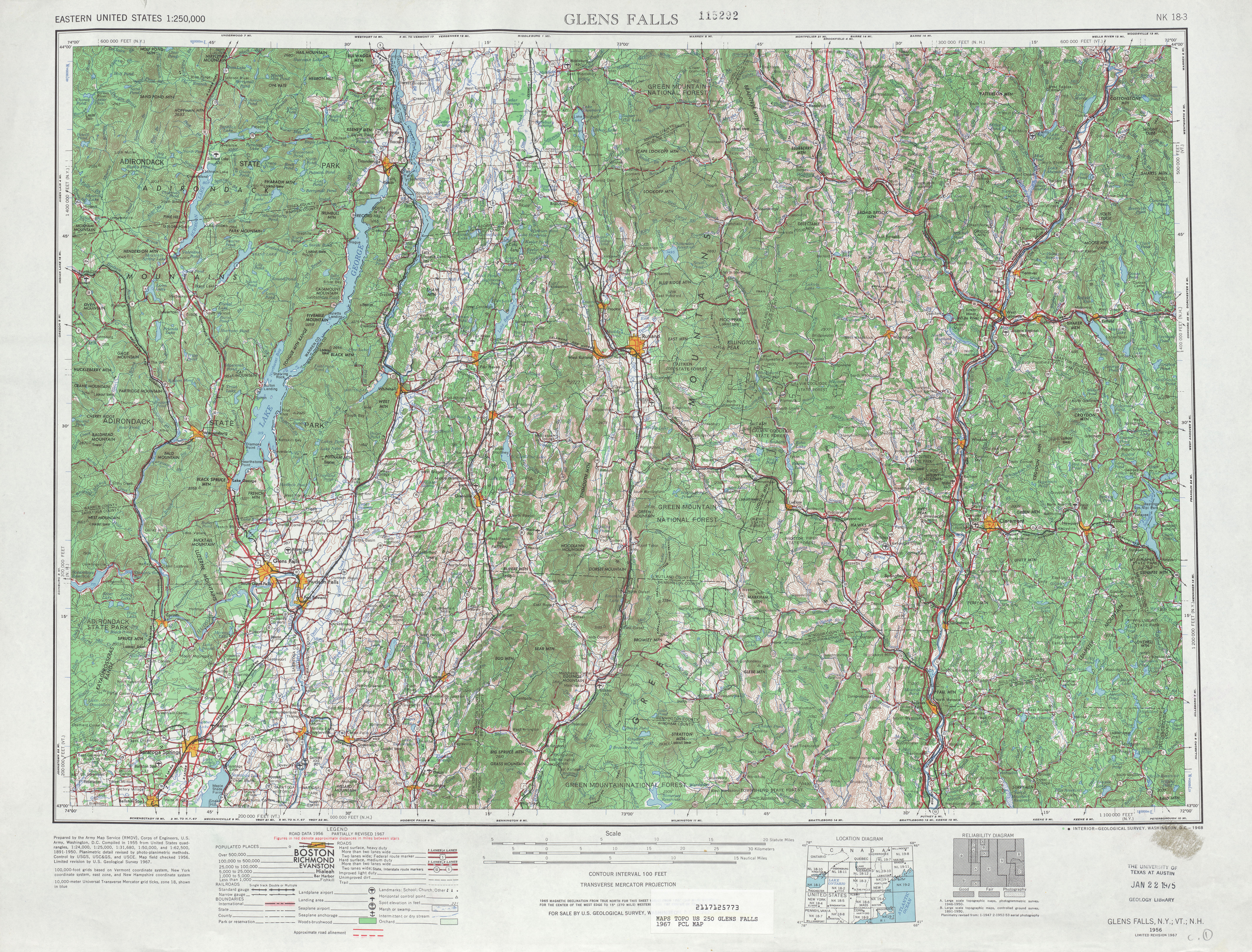
- ^ United States Geological Survey. Glens Falls, NY Quadrangle [map], 1:250,000, Eastern United States 1:250,000. (1967) Retrieved on 2007-12-24.
- ^ Steve Anderson. Interstate 92 - New England (unbuilt). bostonroads.com. Retrieved on 2007-12-22.

