New York State Route 111
From Wikipedia, the free encyclopedia
 |
|||||||||||||
| NY Route 111 |
|||||||||||||
| Length: | 9.42 mi[1] (15.16 km) | ||||||||||||
|---|---|---|---|---|---|---|---|---|---|---|---|---|---|
| Formed: | 1972 | ||||||||||||
| South end: | |||||||||||||
| Major junctions: |
|||||||||||||
| North end: | |||||||||||||
| Counties: | Suffolk | ||||||||||||
|
|||||||||||||
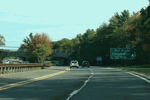
New York State Route 111 is a New York state highway, running through the Towns of Islip and Smithtown, entirely in Suffolk County. It runs north and south between New York State Route 27A in the Town seat of Islip and the east end of the NY 25/25A concurrency in Smithtown's Village of the Branch.
In the Town of Islip, Route 111 runs along Islip Avenue from NY 27A to Suffolk CR 100 (Suffolk Avenue), then Joshua's Path from Suffolk Avenue to Suffolk CR 17 (Wheeler Road). The intersection with Caleb's Path was reconstructed in the mid-to-late 1980's in order to prevent congestion & accidents with the nearby Suffolk Avenue intersection. Taking over Wheeler Road from SCR 17, it then crosses under the Long Island Expressway and makes a sharp right after intersecting Suffolk CR 6, crossing New York State Route 454, then shortly becoming conncurrent with Suffolk CR 76 (Town Line Road) in Hauppauge. In the Town of Smithtown, Route 111 runs along Hauppauge Road crossing the always dangerous intersection with New York State Route 347 continuing northward until finally reaching historic Smithtown.
Contents |
[edit] History
Suffolk County Road 17 (Carleton Avenue) used to be part of NY 111 until September 13, 1966.[2]
Sometime before 1956, Route 111 went through Suffolk CR 76 (Town Line Road), rather than briefly overlapping the road.[citation needed]
North of Mount Pleasant Road, an interchange for the extension of Northern State Parkway was supposed to have been built.[3][4]
[edit] Major intersections
| County | Location | Mile[1] | Roads intersected | Notes |
|---|---|---|---|---|
| Suffolk | Islip | 0.00 | ||
| 0.84 | Exit 45 (Sunrise Highway) | |||
| 1.78 | Exit 43 (Heckscher Pkwy) | |||
| Central Islip | 4.00 | |||
| 5.04 | ||||
| Hauppauge | Former routing of NY 111 | |||
| 5.58 | Exit 56 (I-495) | |||
| 6.78 | ||||
| 7.12 | ||||
| 7.53 | ||||
| Smithtown | 8.03 | |||
| Unbuilt extension | ||||
| Village of the Branch | 9.42 |
[edit] References
- ^ a b Traffic Data Report - I-87 to NY 121 (PDF). NYSDOT (2007-07-16). Retrieved on 2007-09-24.
- ^ Suffolk County Department of Public Works
- ^ Northern State Parkway (NYCRoads.com)
- ^ 1963 Suffolk County Department of Public Works Map

