Image:Nevada playa USGS.png
From Wikipedia, the free encyclopedia
Size of this preview: 395 × 599 pixels
Full resolution (2,000 × 3,034 pixels, file size: 476 KB, MIME type: image/png)
| | This is a file from the Wikimedia Commons. The description on its description page there is shown below.
|
[edit] Summary
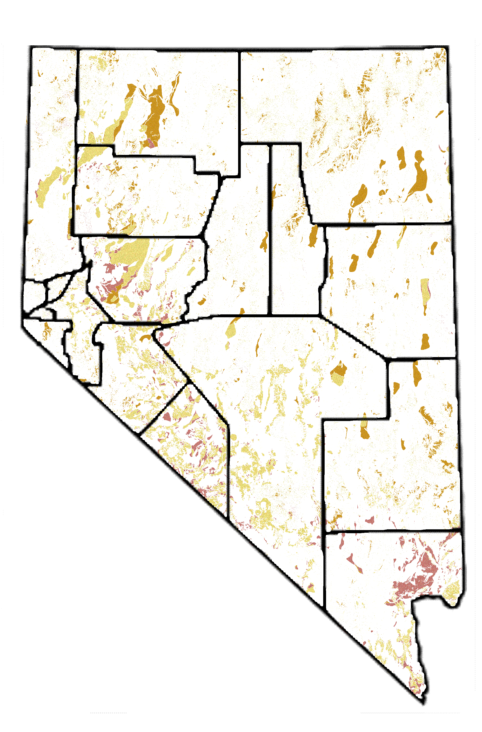
| Description |
Playa areas in Nevada, from USGS PD map with GFDL Image:Nevada map showing counties.png |
|---|---|
| Source |
Plate 4 of USGS Scientific Investigations Report 2004-5131, Hydrogeology and Hydrologic Landscape Regions of Nevada http://pubs.usgs.gov/sir/2004/5131/plate.html using playa colors (2, 4, 7 in legend). |
| Date |
2005-09-01 |
| Author |
USGS |
| Permission (Reusing this image) |
see below |
[edit] Licensing

File history
Click on a date/time to view the file as it appeared at that time.
| Date/Time | Dimensions | User | Comment | |
|---|---|---|---|---|
| current | 06:30, 12 September 2007 | 2,000×3,034 (476 KB) | SEWilco | (smaller version) |
| 06:25, 12 September 2007 | 4,491×6,812 (1.96 MB) | SEWilco | ({{Information |Description=Playa areas in Nevada, from USGS PD map with GFDL Image:Nevada map showing counties.png |Source=Plate 4 of USGS Scientific Investigations Report 2004-5131, Hydrogeology and Hydrologic Landscape Regions of Nevada http://pubs.) |
File links
The following pages on the English Wikipedia link to this file (pages on other projects are not listed):

