User:Necrothesp/Resources/1930s Resources
From Wikipedia, the free encyclopedia
[edit] International
- Maps
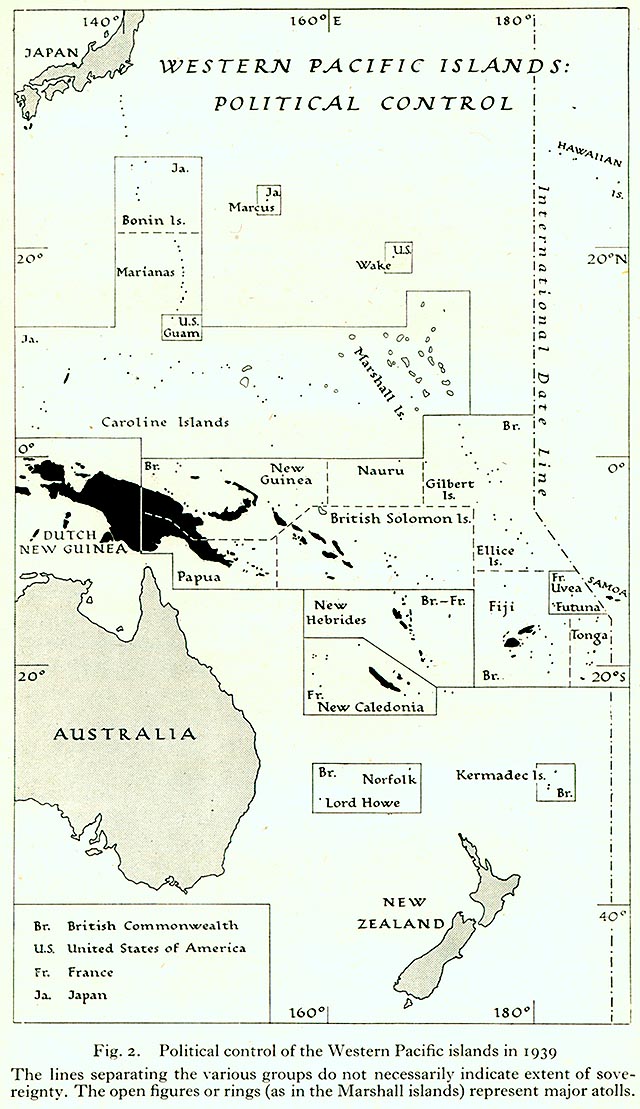
- Political map of the Western Pacific, 1939
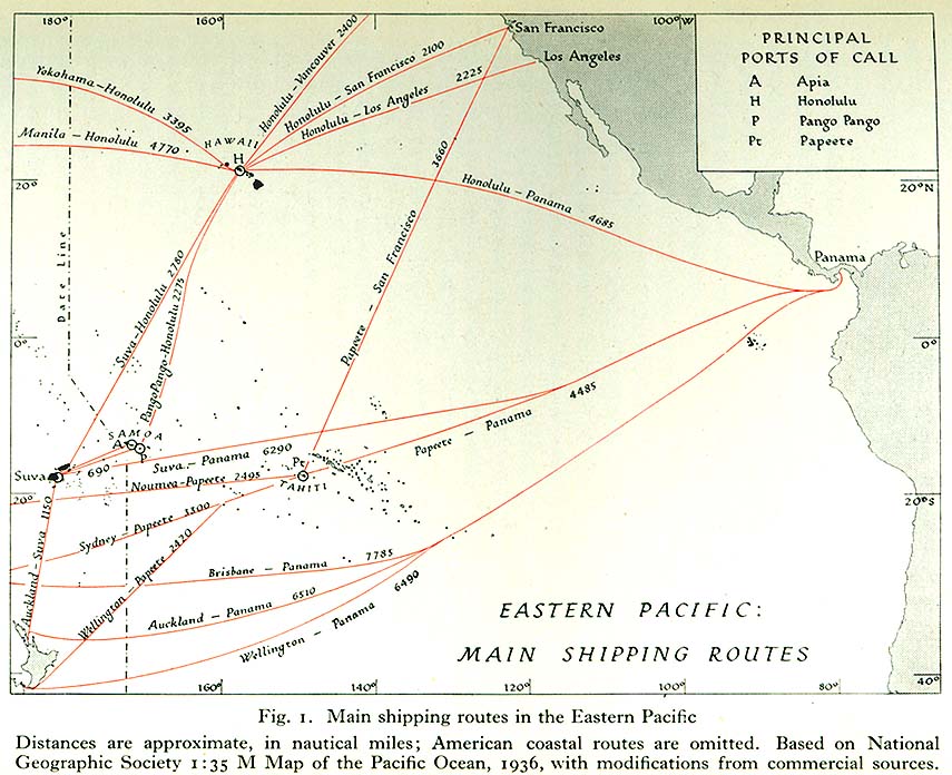
- Map of main shipping routes in the Eastern Pacific, 1936
- Map of main shipping routes in the Western Pacific, 1939
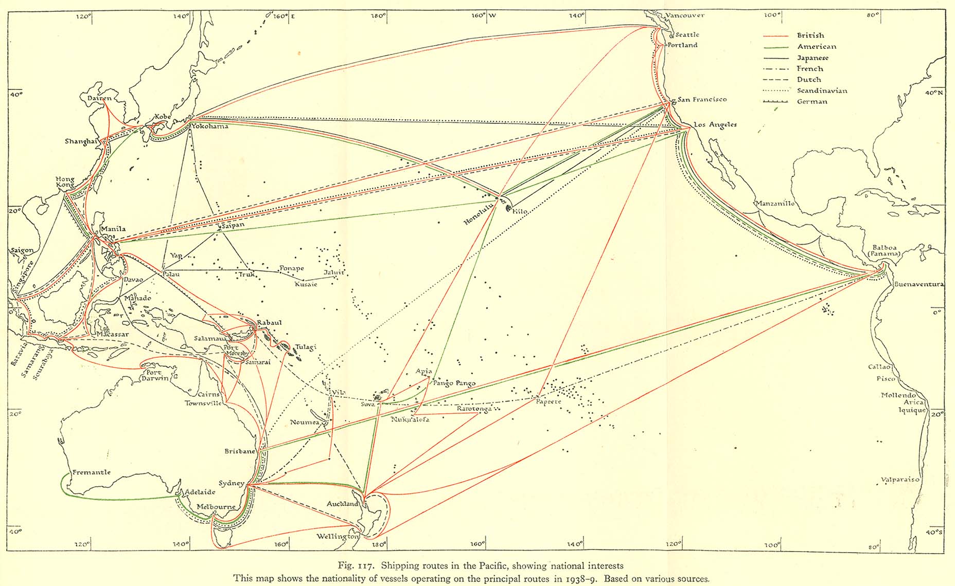
- Map of shipping routes in the Pacific, 1938–1939
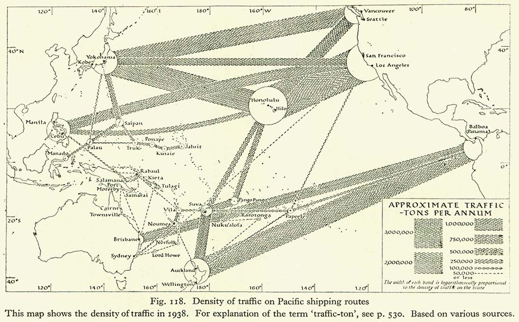
- Plan of density of traffic on Pacific shipping routes, 1938
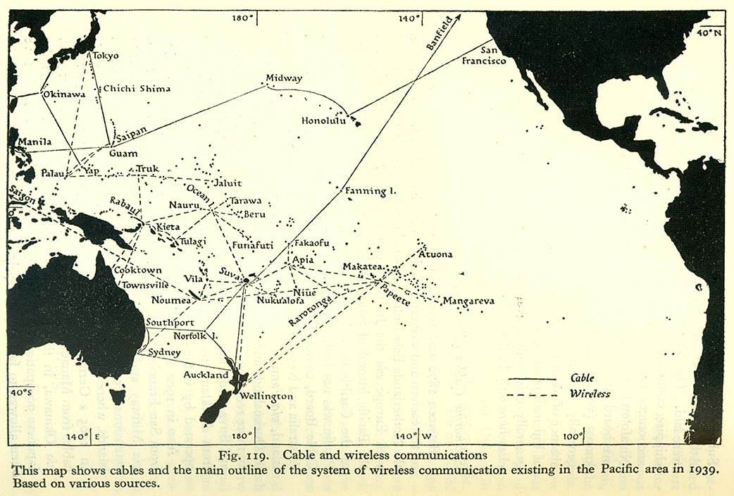
- Map of cable and wireless communications in the Pacific, 1939
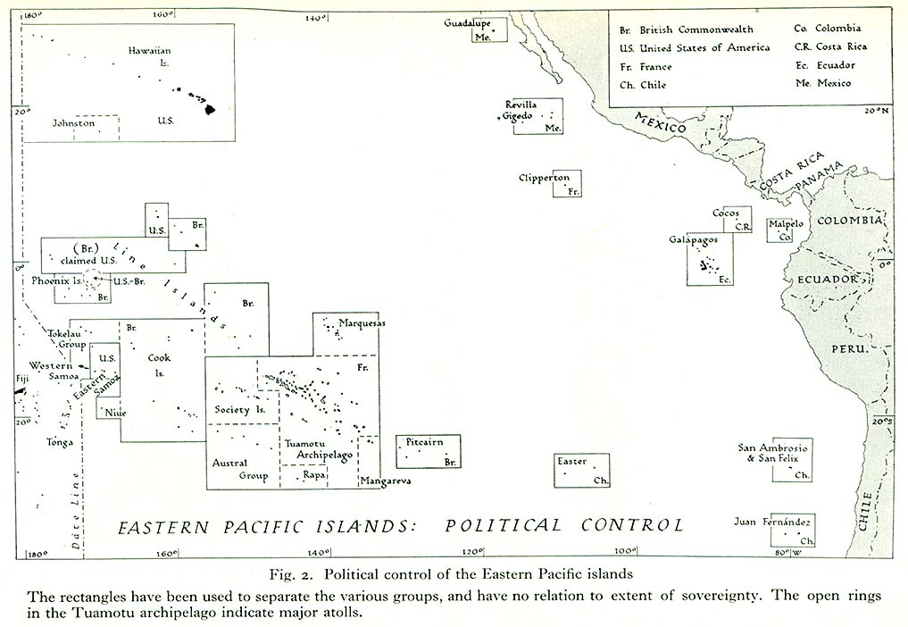
- Political map of the Eastern Pacific
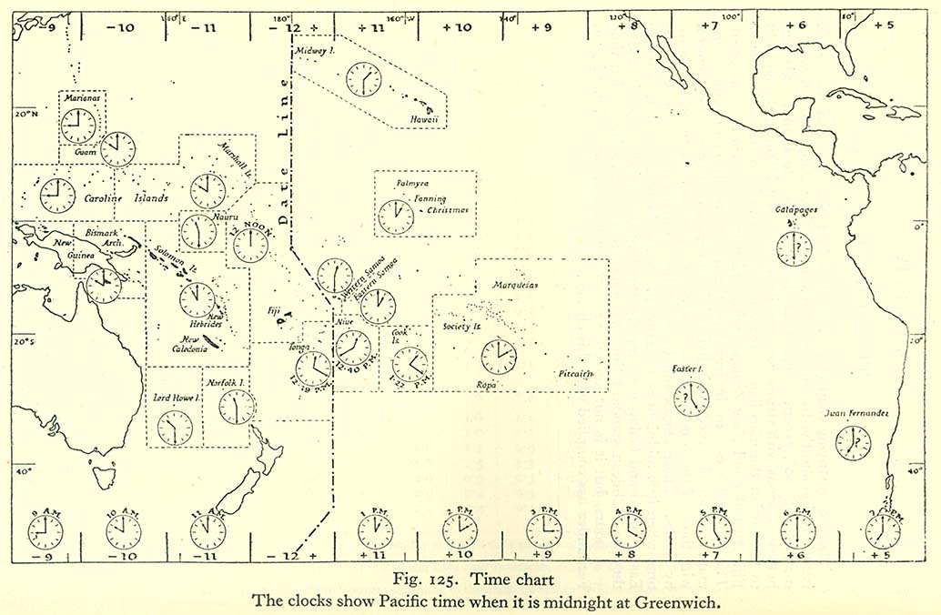
- Map of Pacific time zones
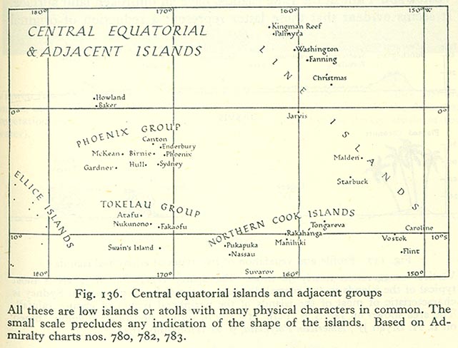
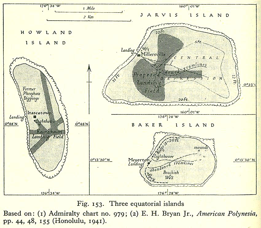
- Map of the Central Equatorial Islands and adjacent groups
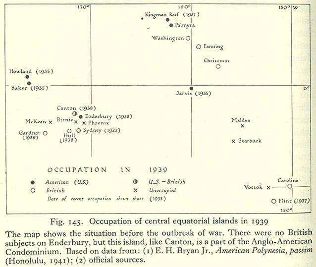
- Political map of the Central Equatorial Islands, 1939
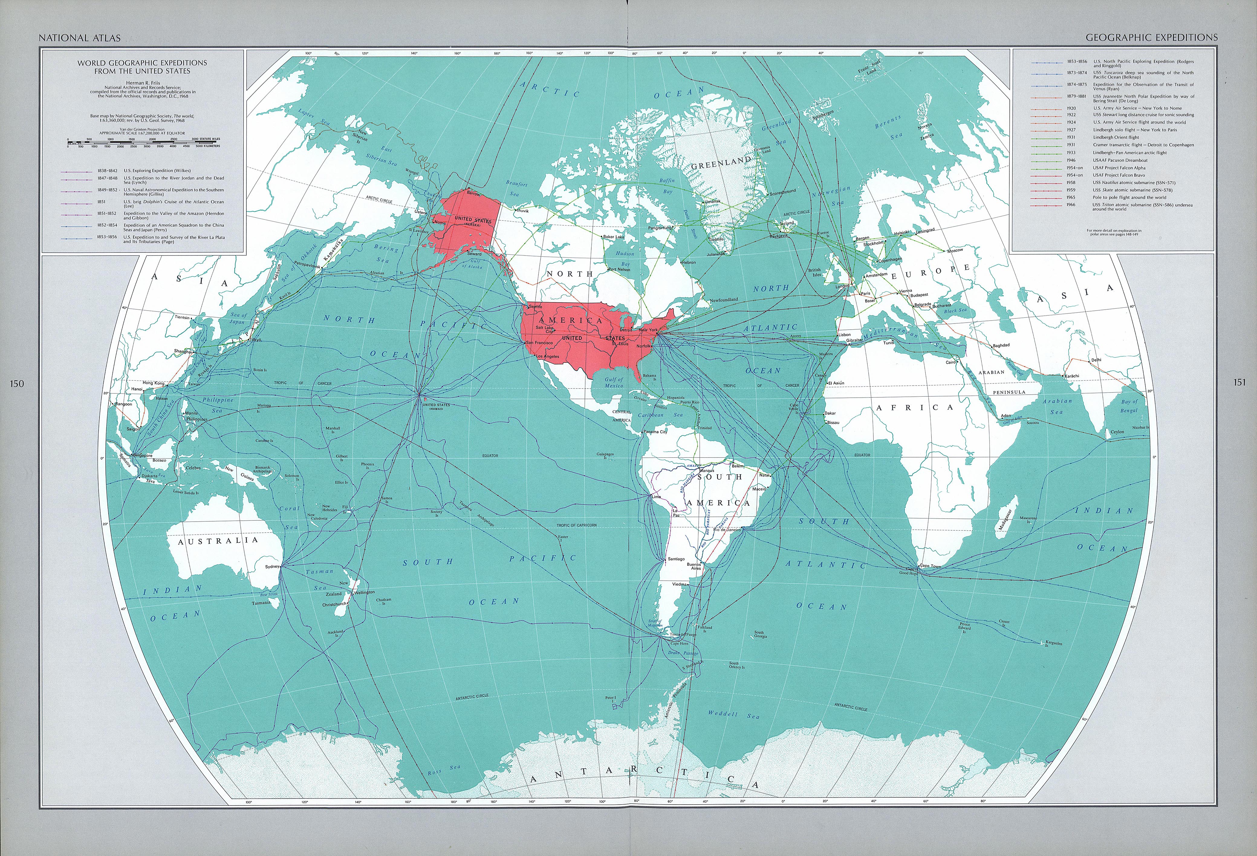
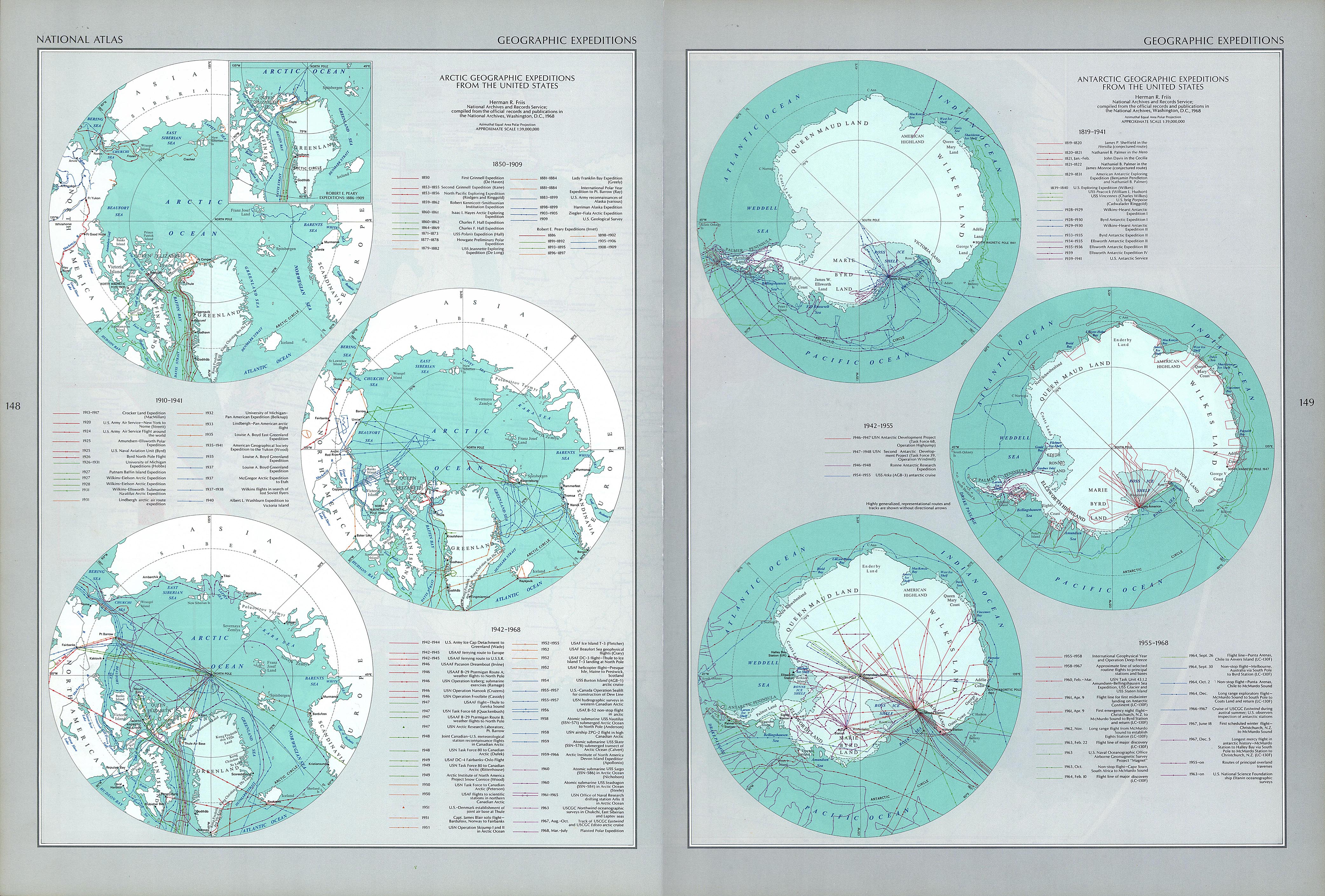
- Map of principal American geographic expeditions, 1838–1966
[edit] Antarctica
[edit] Arctic
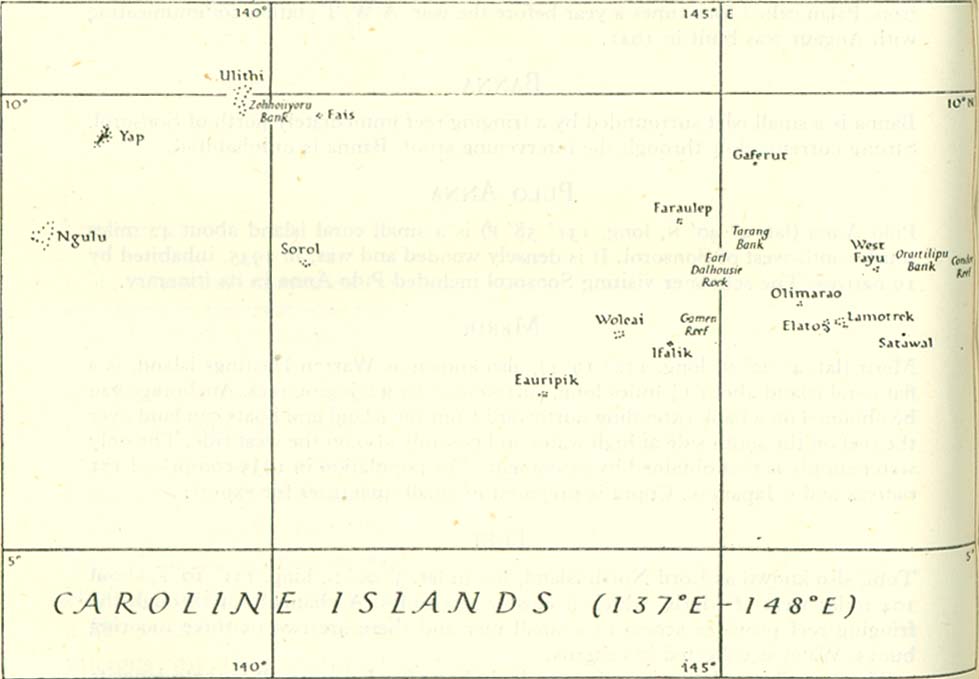
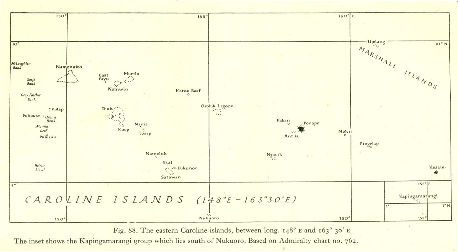
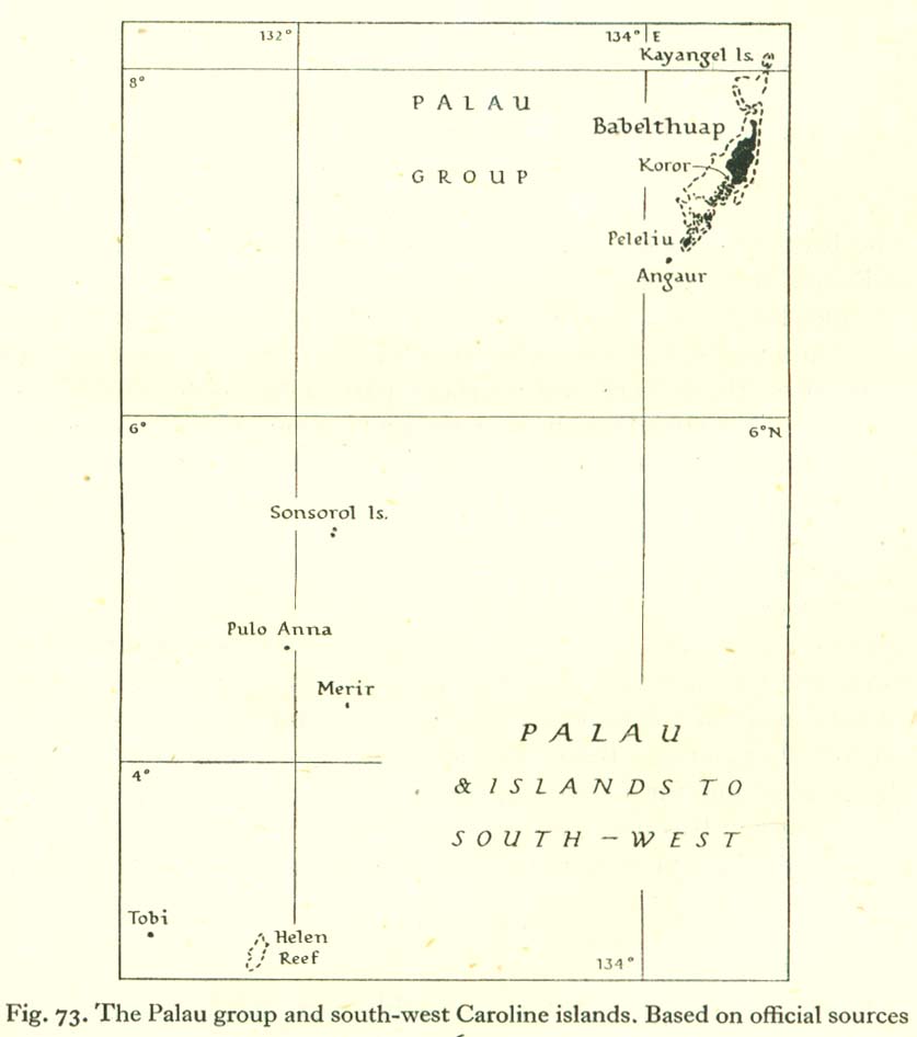
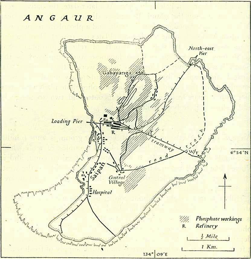
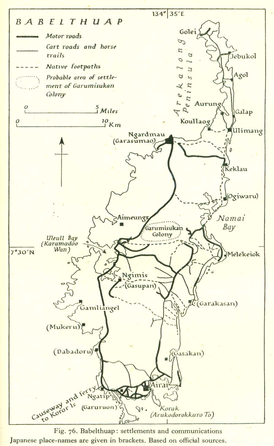
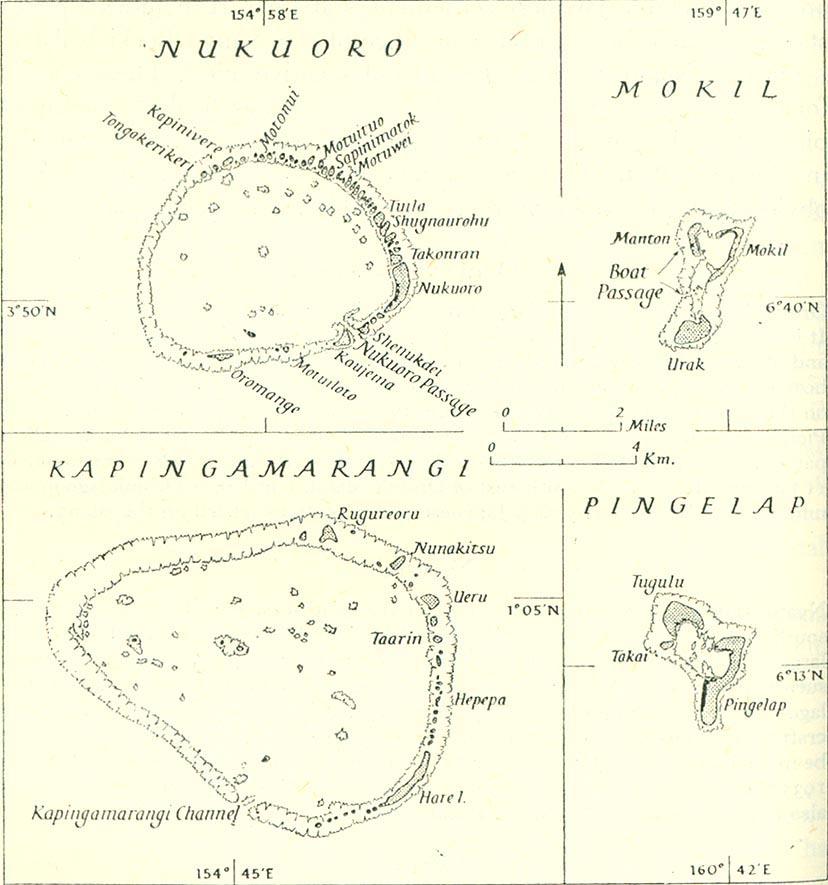
[edit] Caroline Islands
- Maps
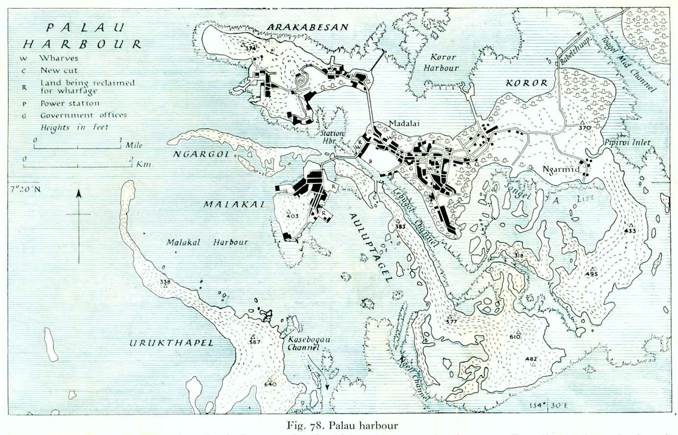
- Palau Islands
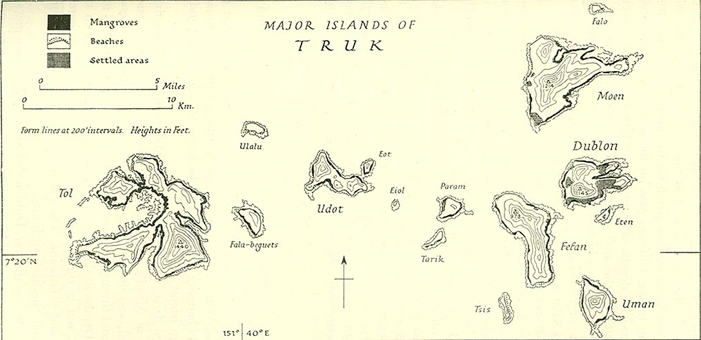
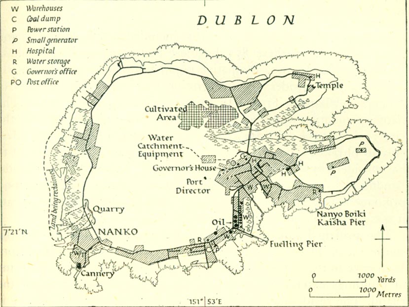
- Truk
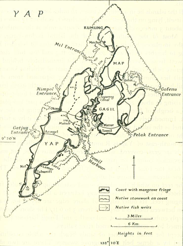
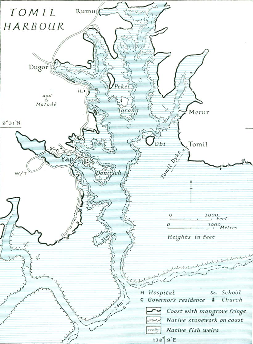
- Yap
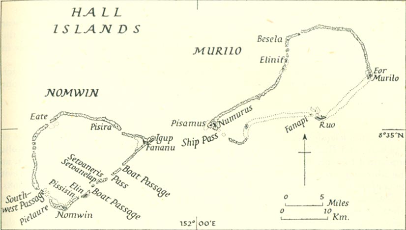
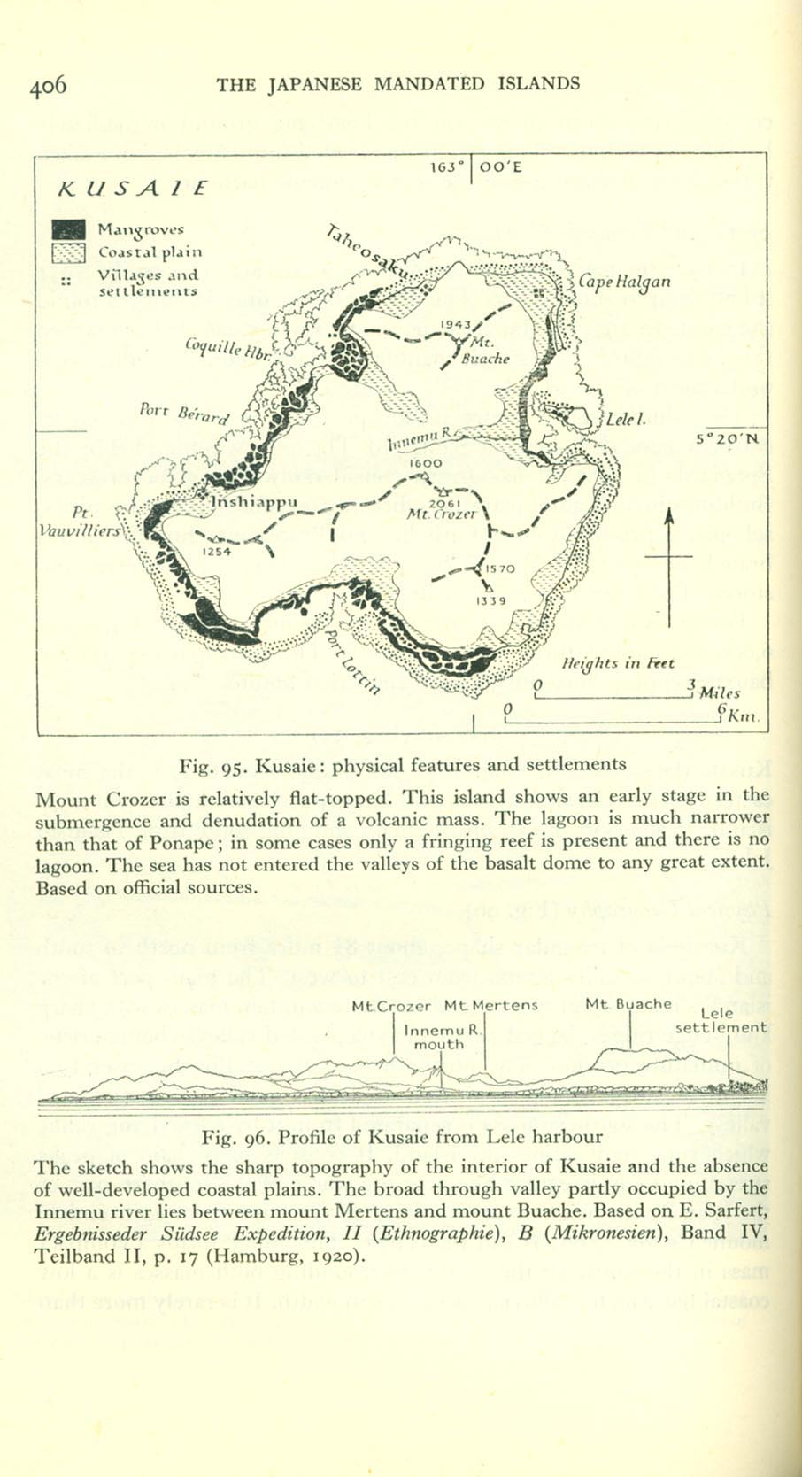
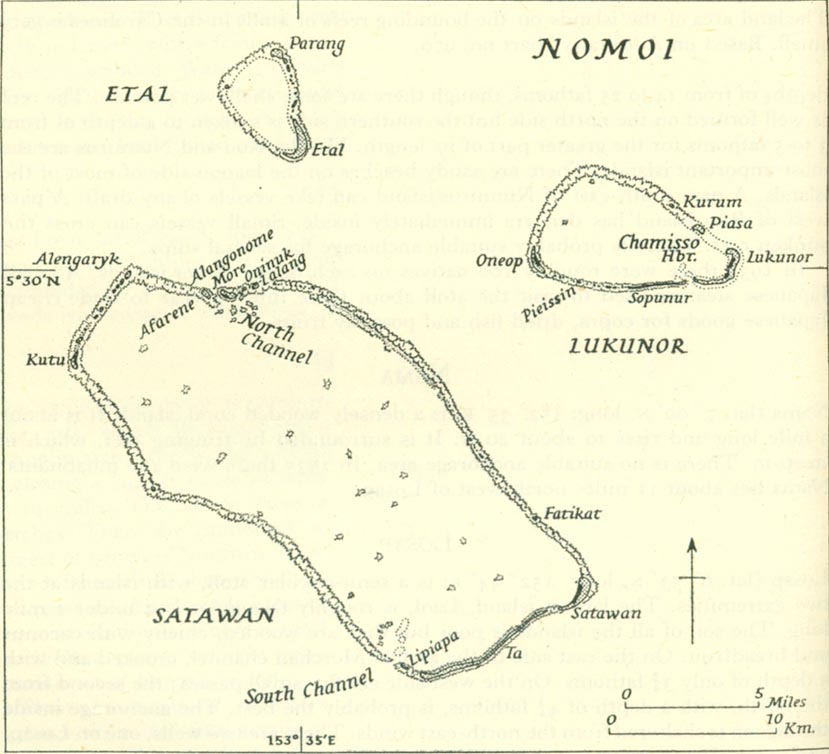
- Other islands
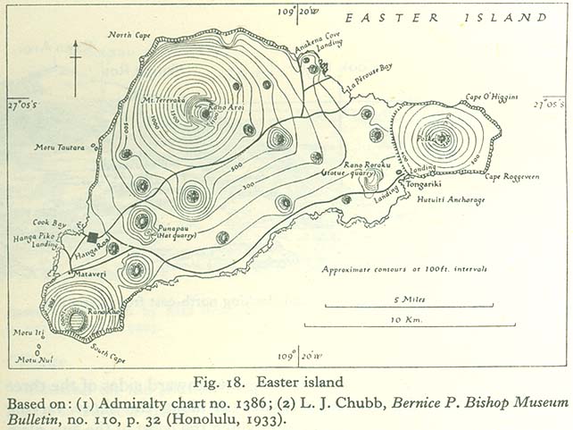
[edit] Chile
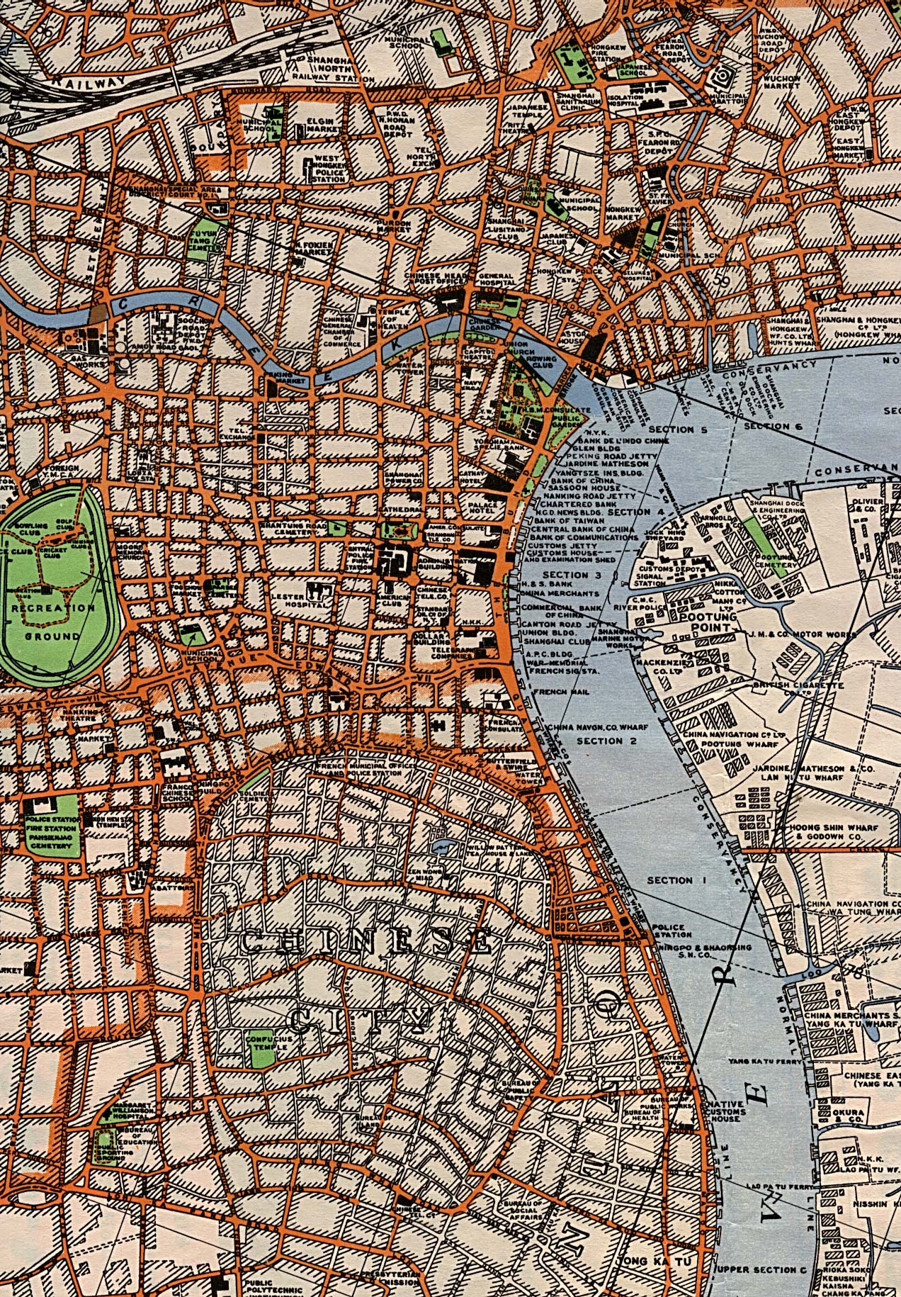
[edit] China
- Shanghai
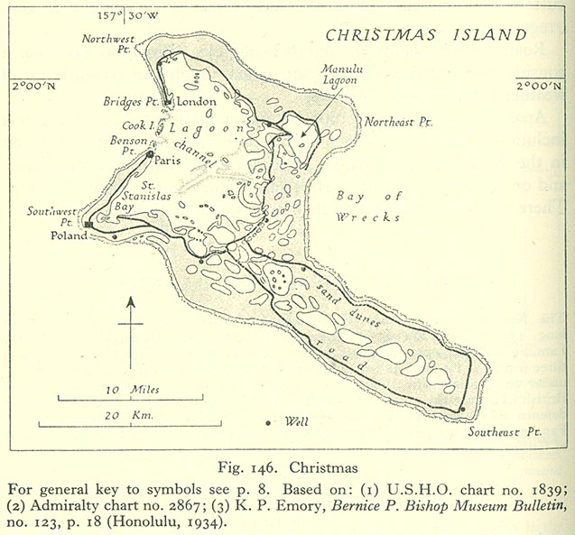
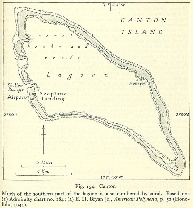
[edit] Christmas Island
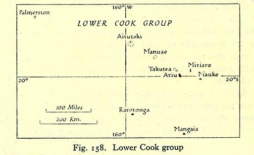
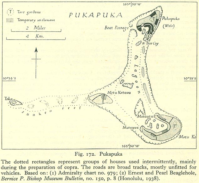
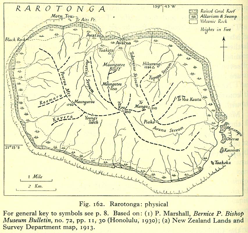
[edit] Cook Islands
- Maps
- Pukapuka
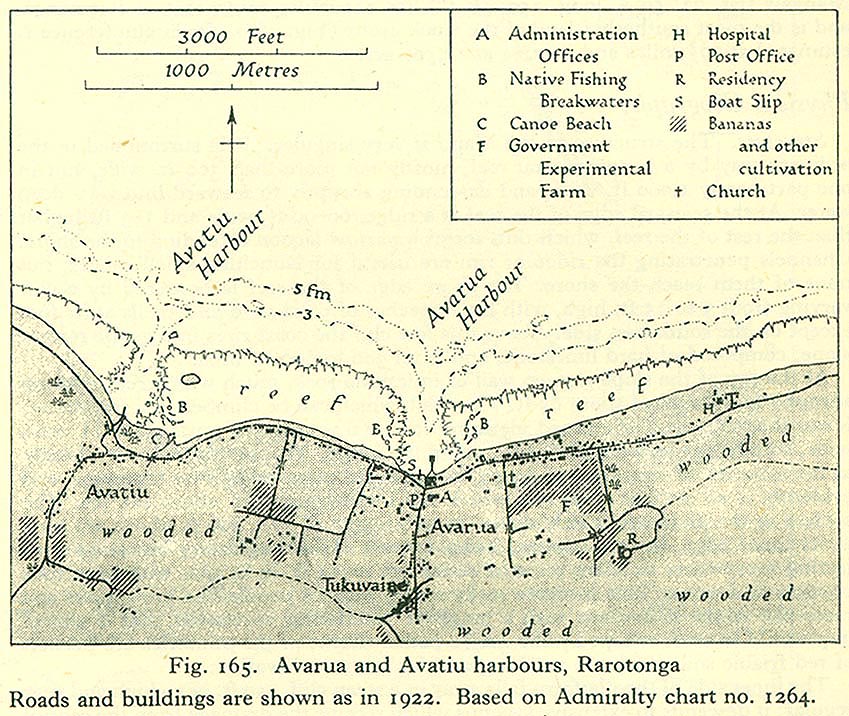
- Rarotonga
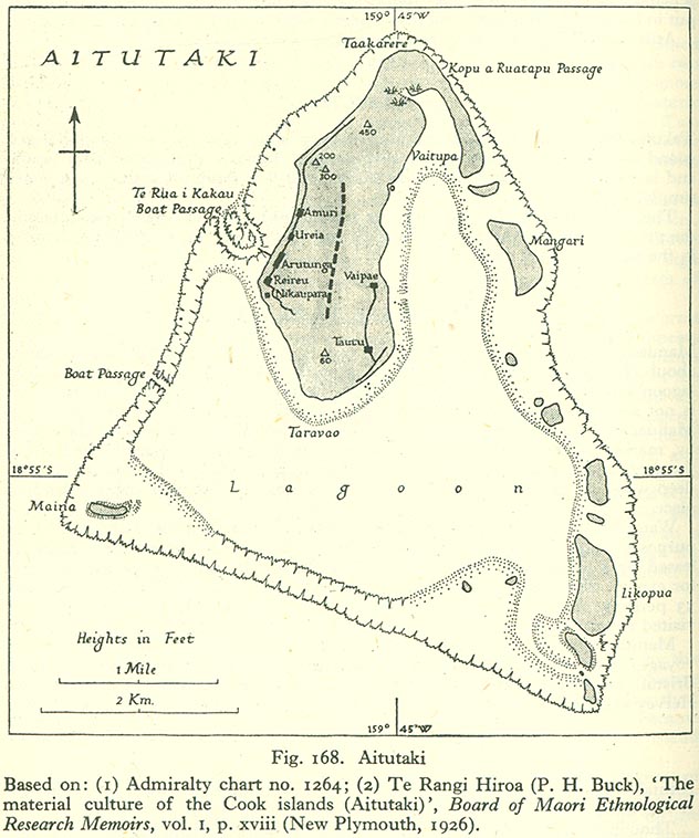
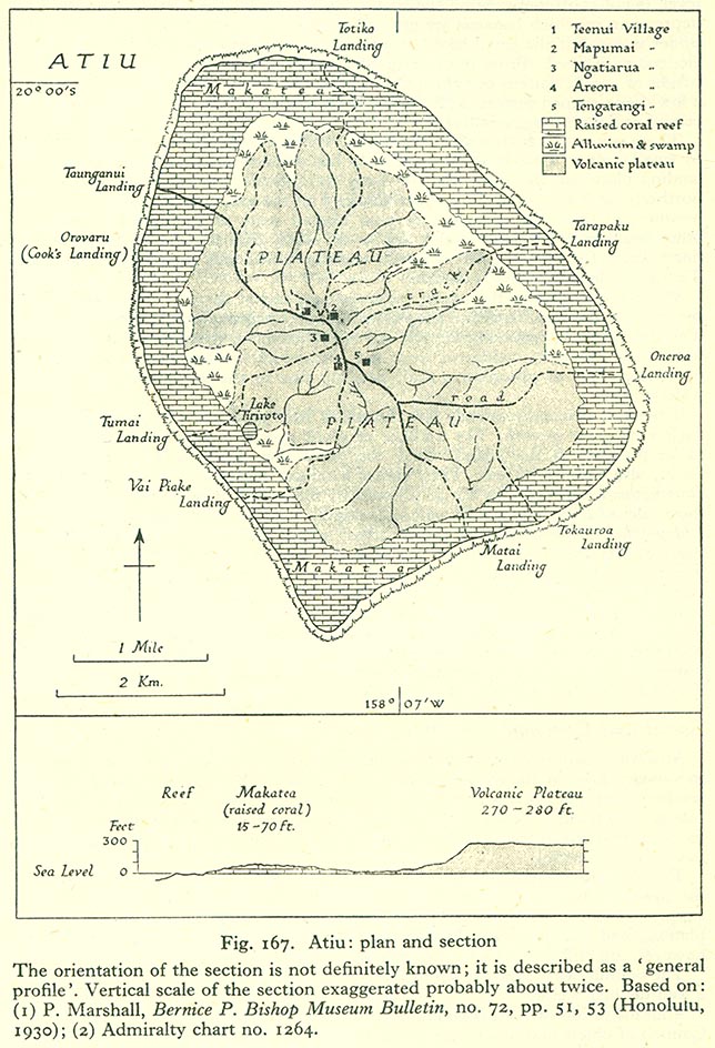
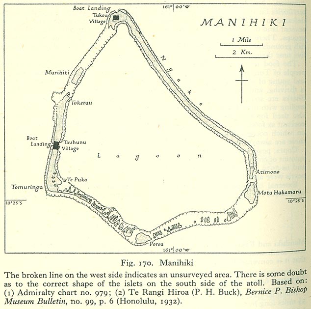
- Other islands
[edit] Costa Rica
[edit] Fiji
- Maps
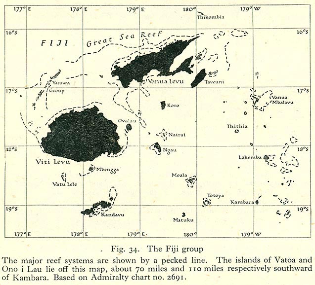
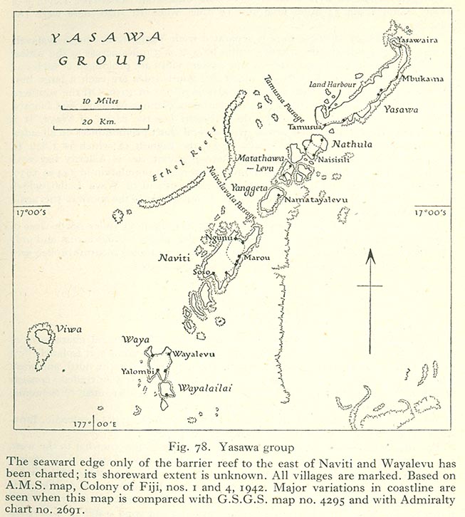
- Map of the Fijian Islands
- Vegetation map of the Fijian Islands
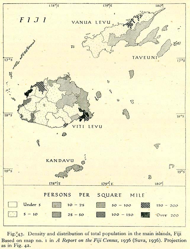
- Population density map of the Fijian Islands
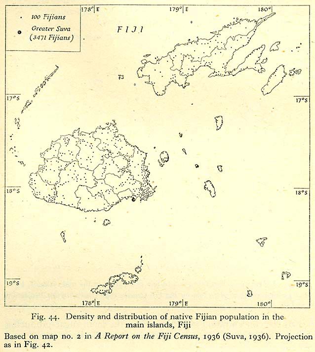
- Population density map of Native Fijians in the Fijian Islands
- Population density map of Indians in the Fijian Islands
- District map of Fiji before September 1938
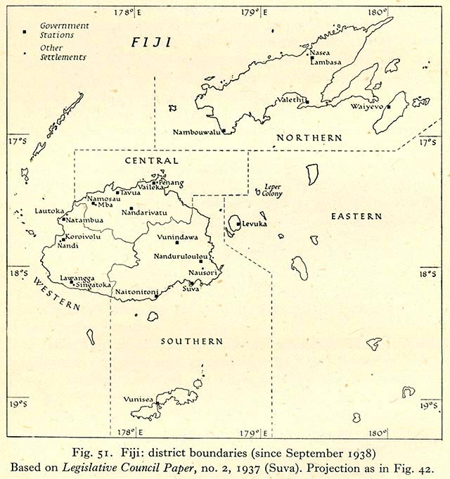
- District map of Fiji after September 1938
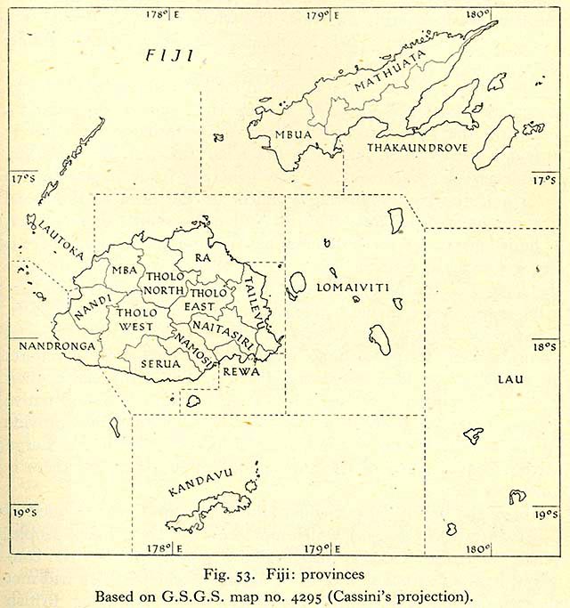
- Provincial map of Fiji
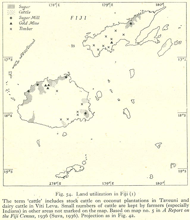
- Land utilisation map of Fiji (cattle, sugar, gold and timber)
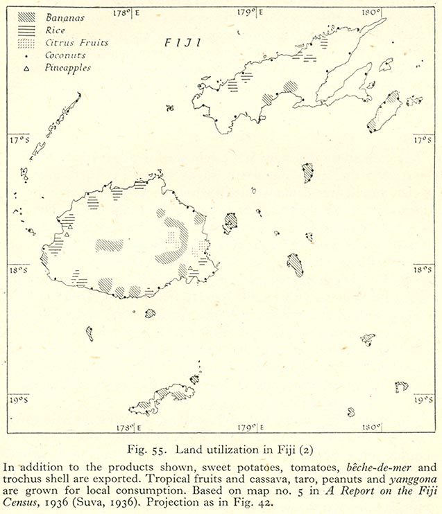
- Land utilisation map of Fiji (fruit and rice)
- Transport
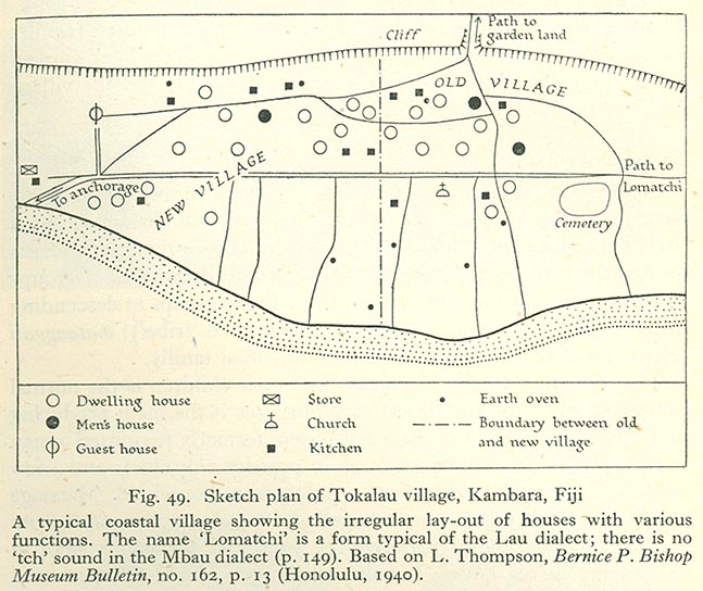
- Kambara
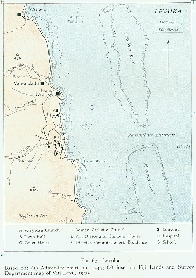
- Ovalau
- Vanua Levu
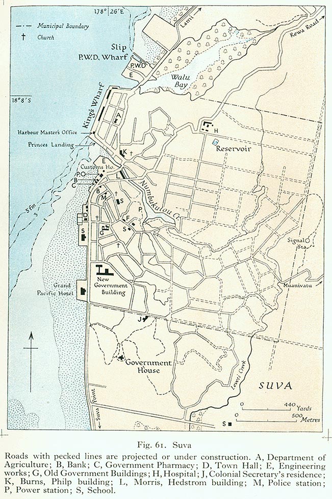
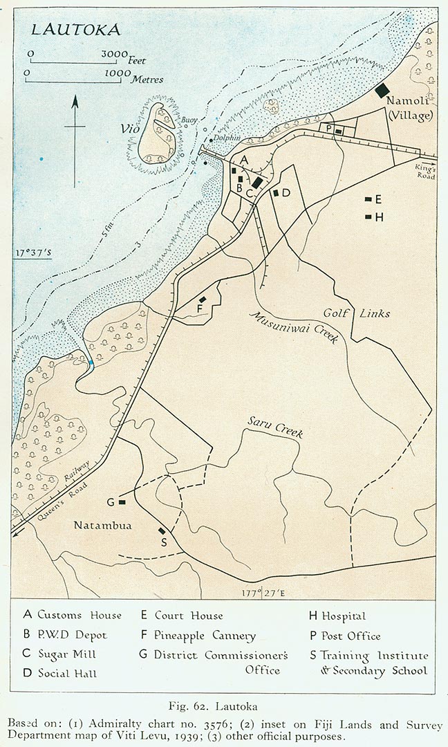
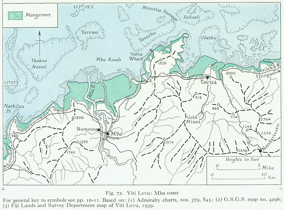
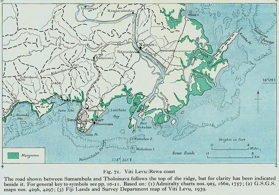
- Viti Levu
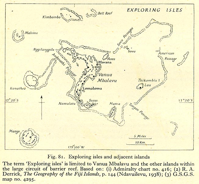
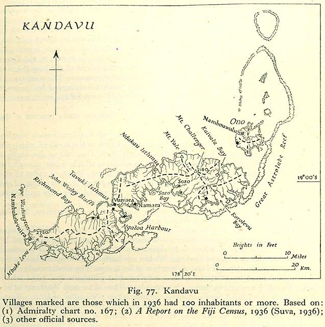
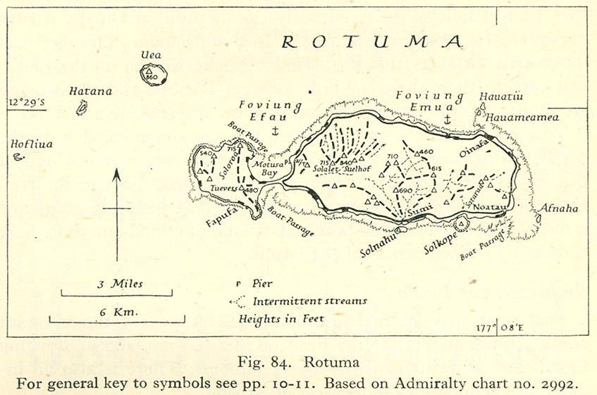
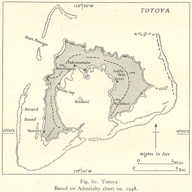
- Other islands
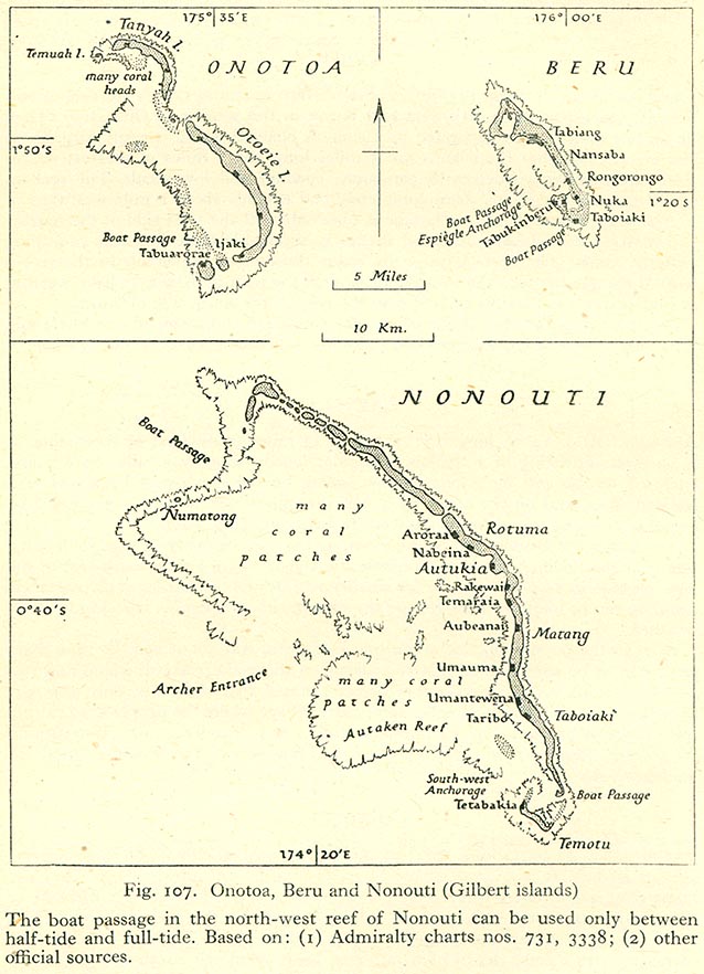
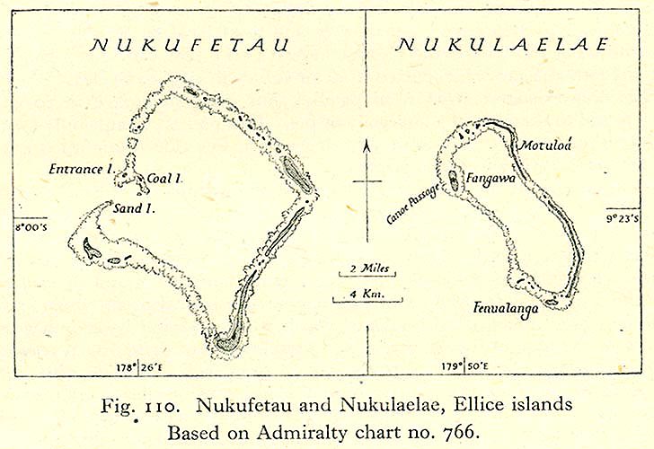
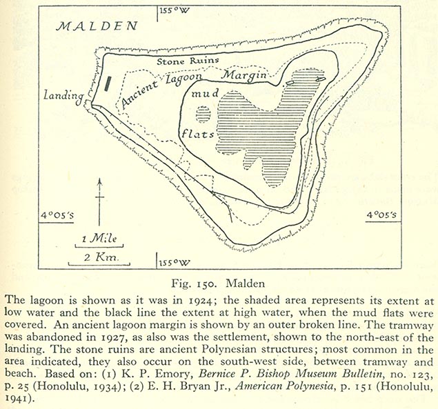
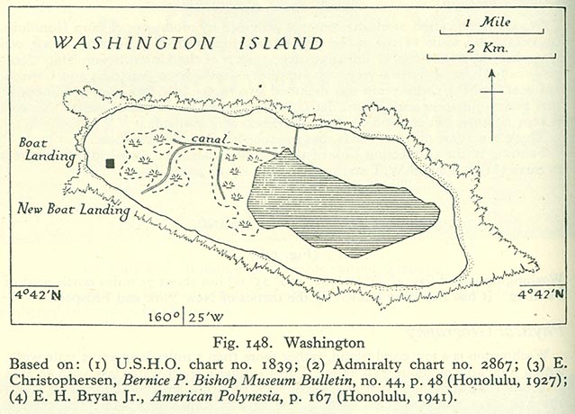
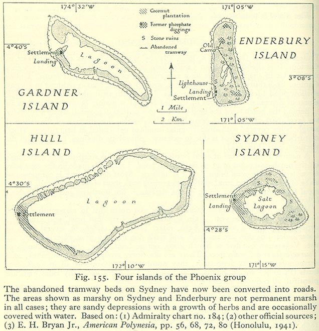
[edit] Gilbert and Ellice Islands
- Maps
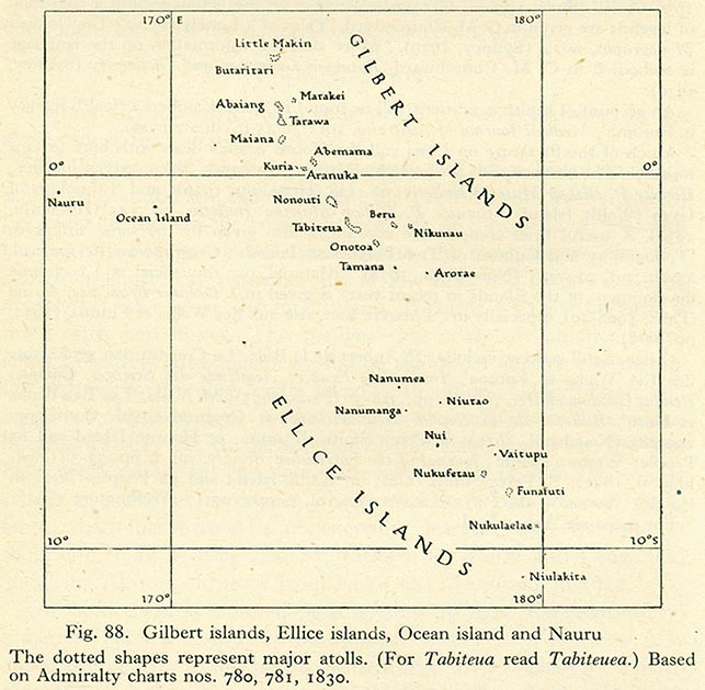
- Gilbert Islands
- Ellice Islands
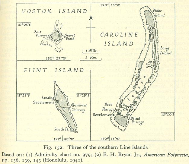
- Line Islands
- Other islands
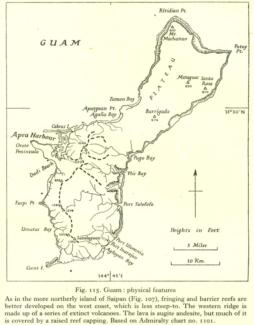
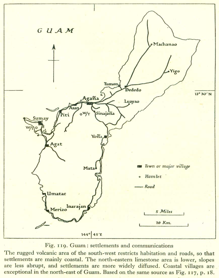
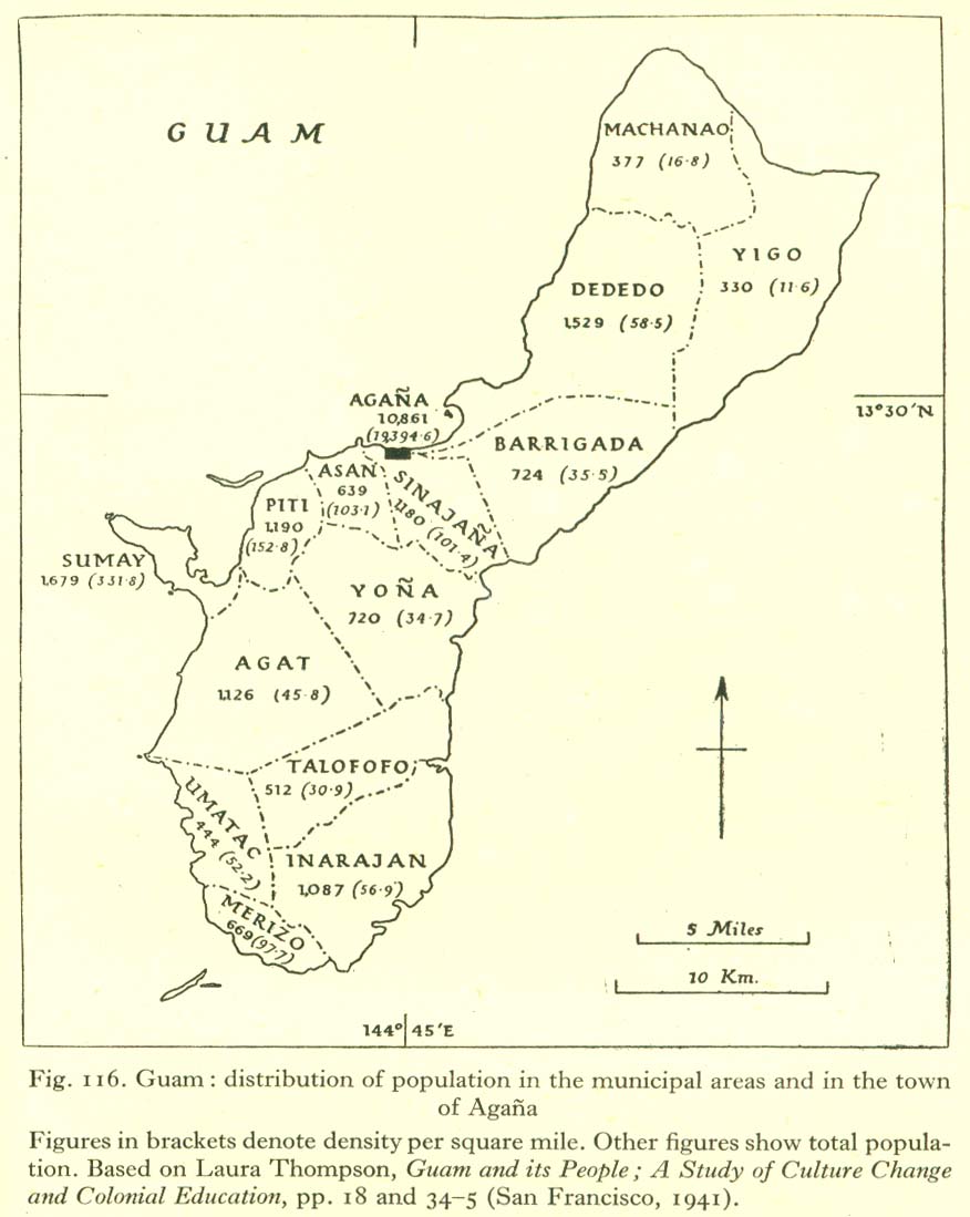
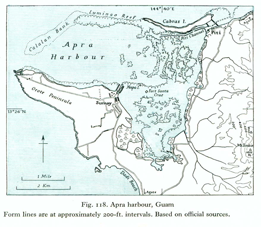
[edit] Guam
- Maps
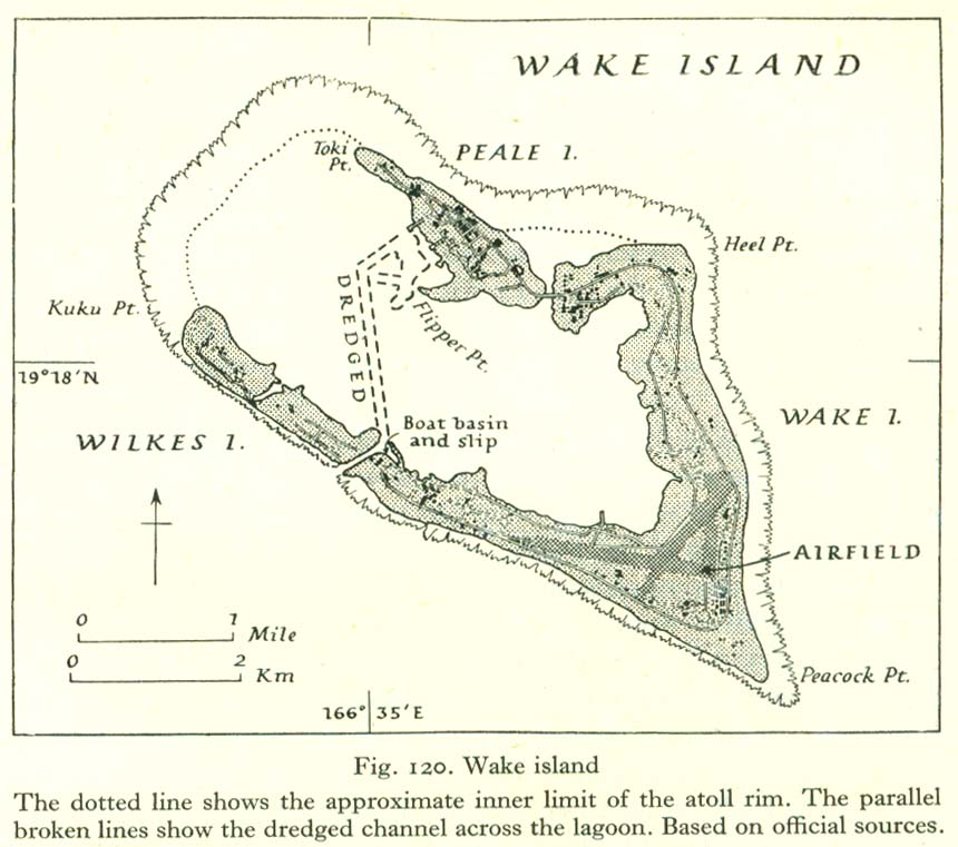
[edit] Hawaii
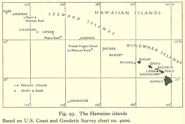
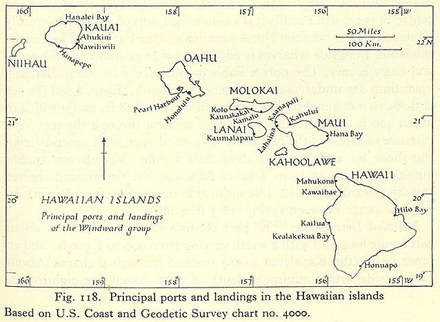
- Maps
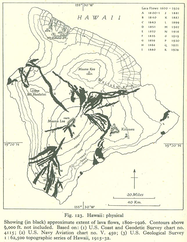
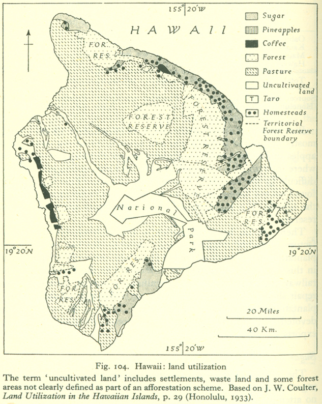
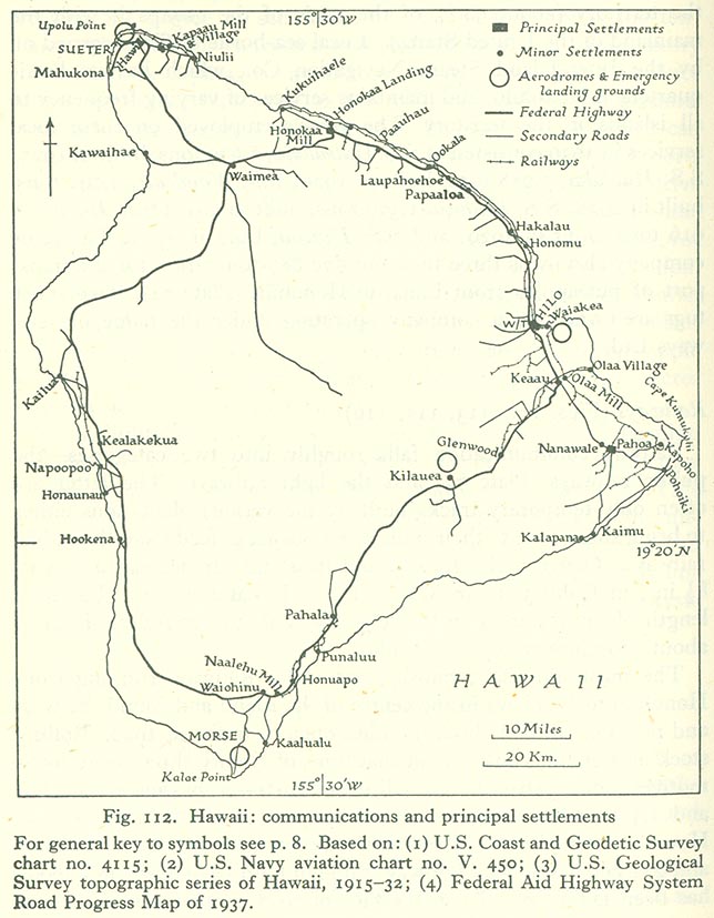
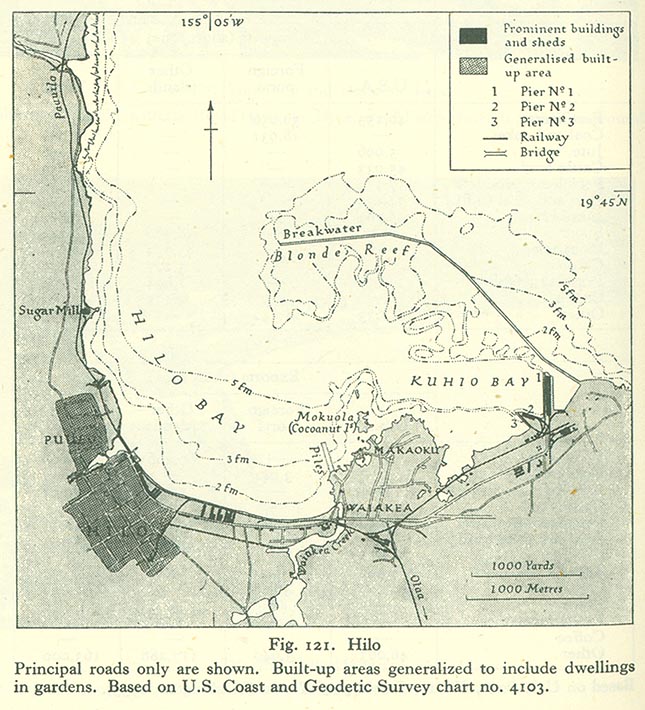
- Hawaii Island
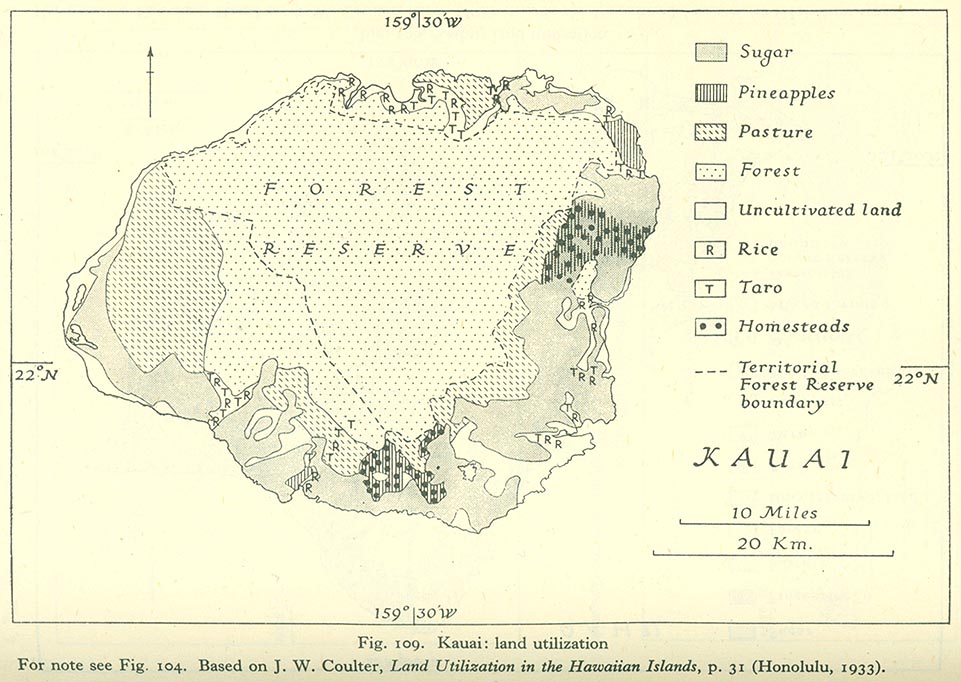
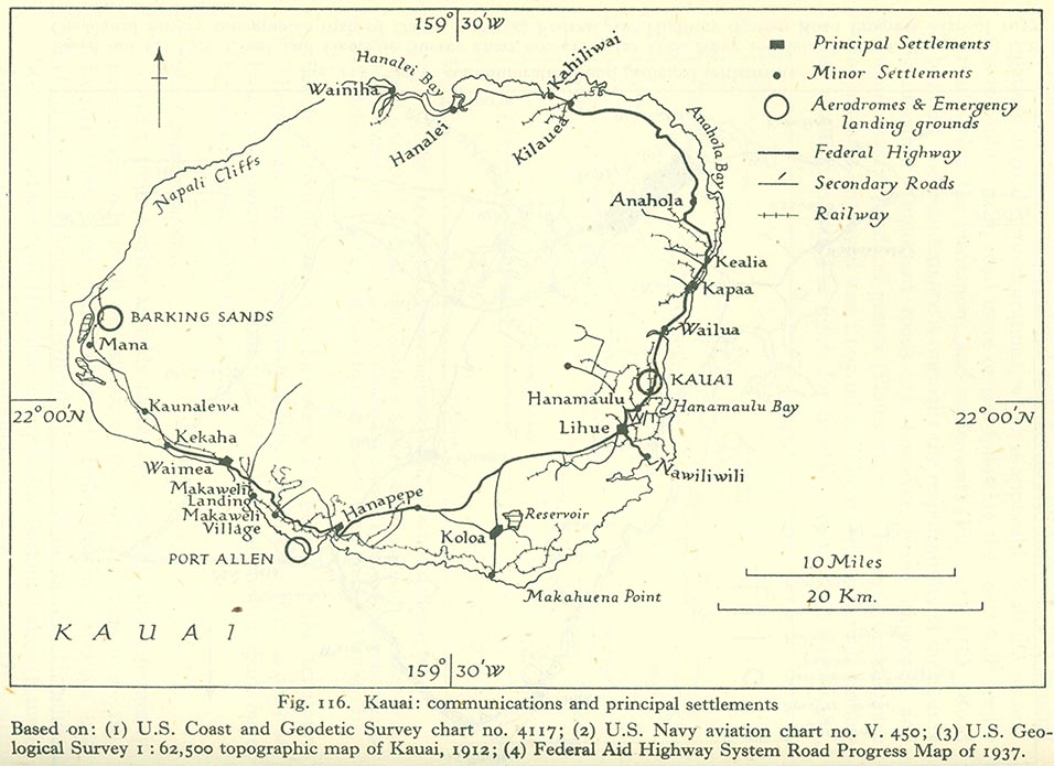
- Kauai
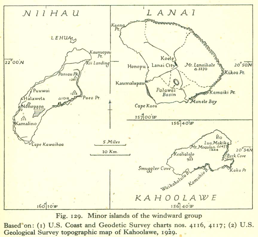
- Lanai
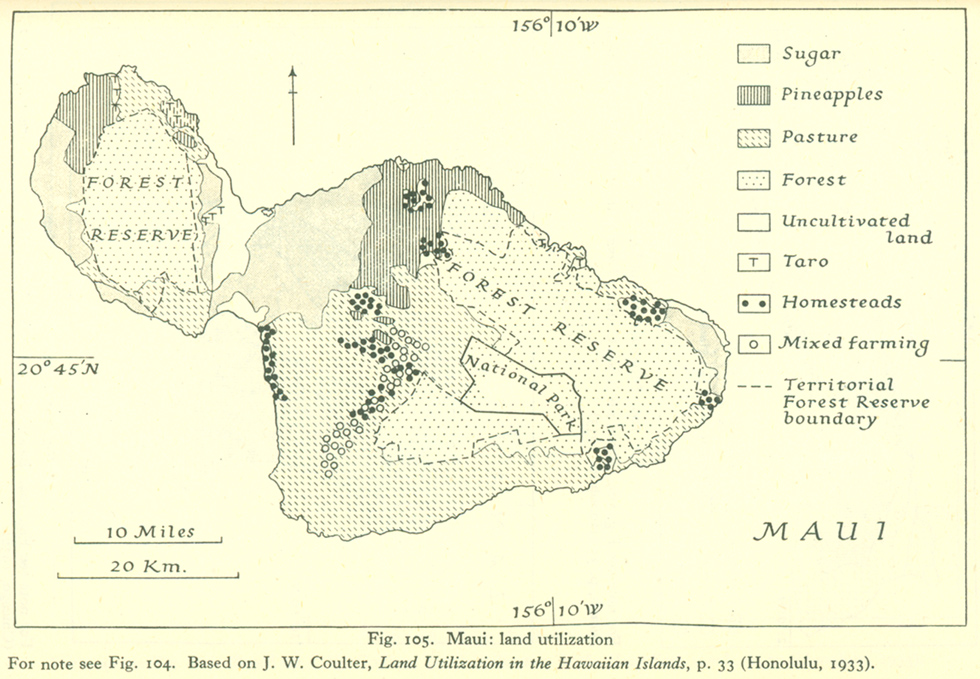
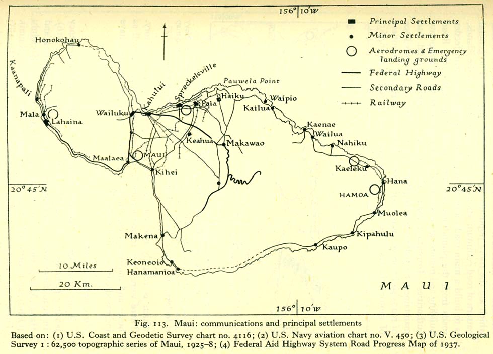
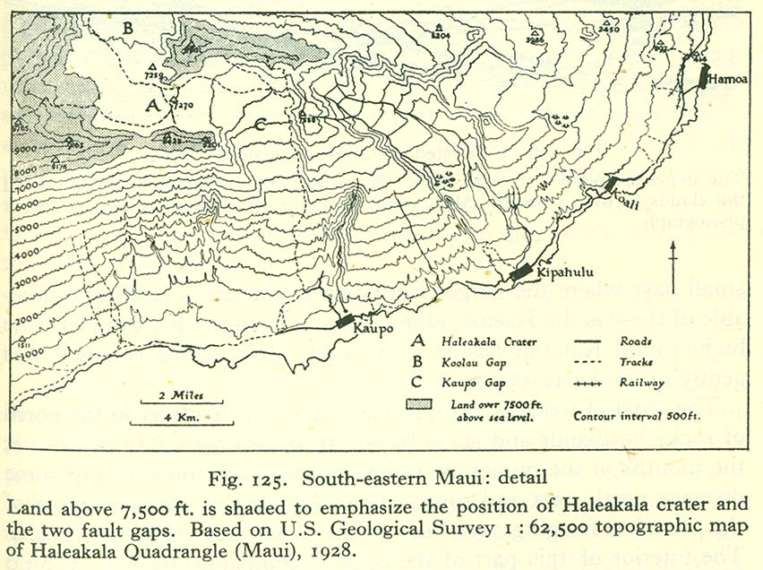
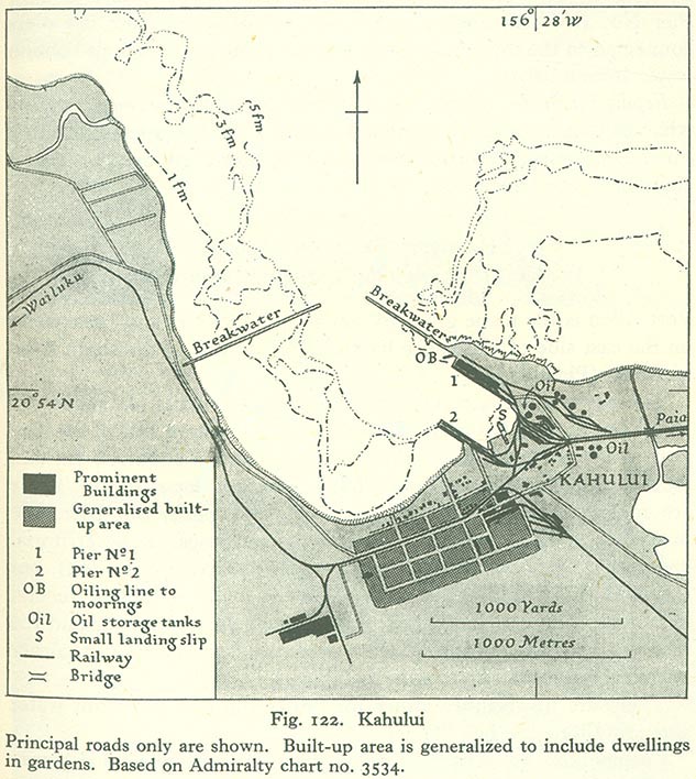
- Maui
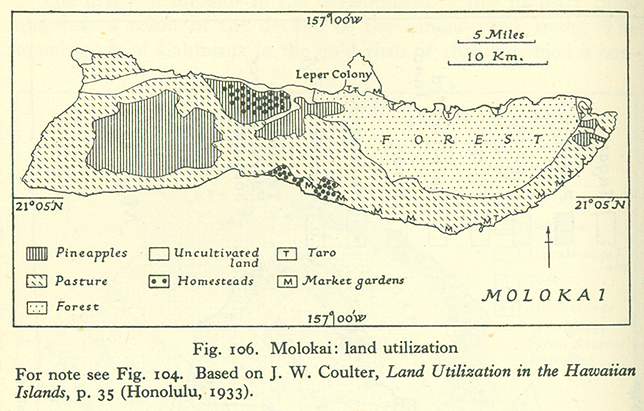
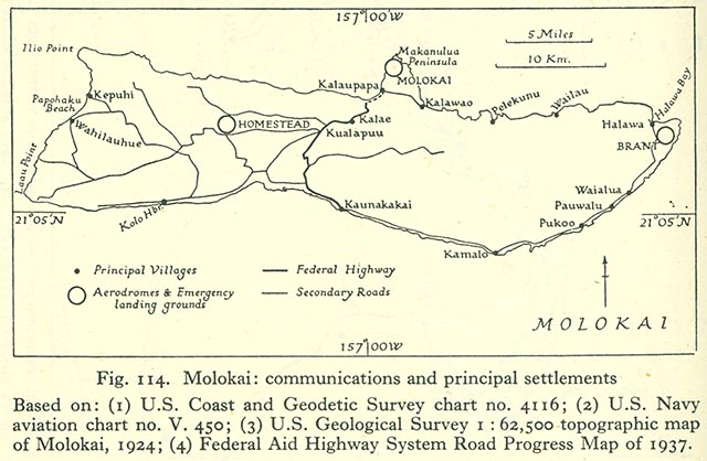
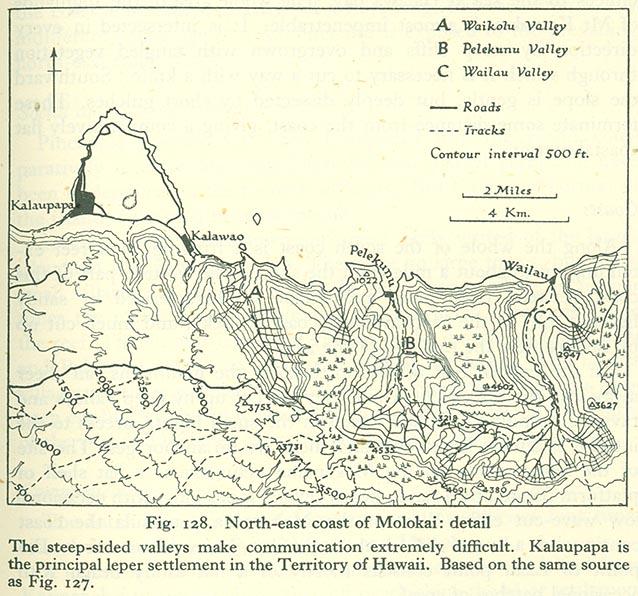
- Molokai
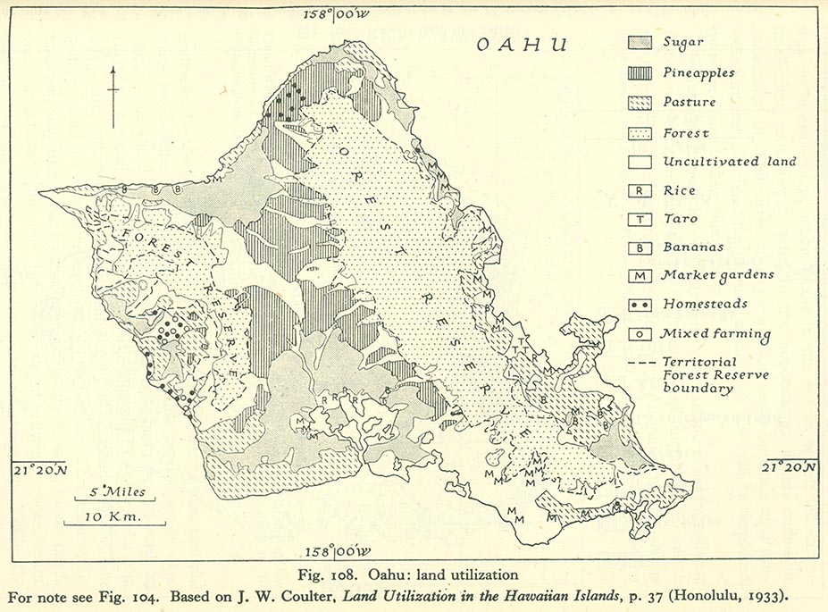
- Oahu
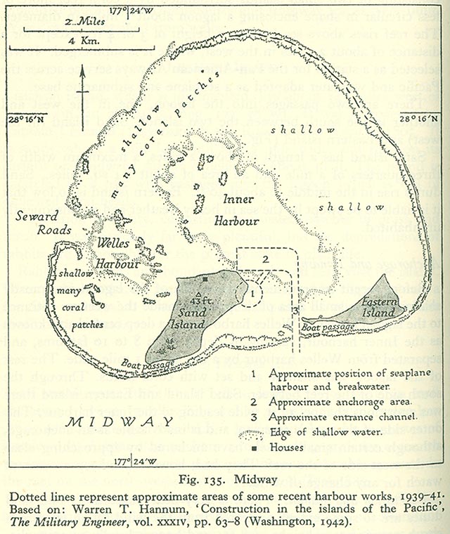
- Other islands
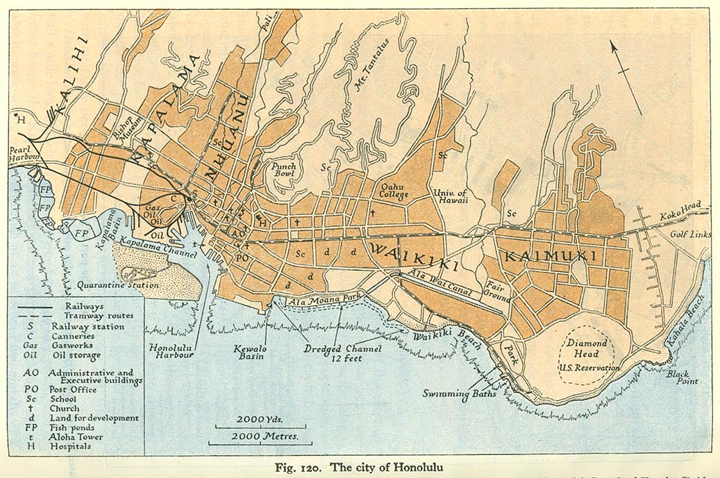
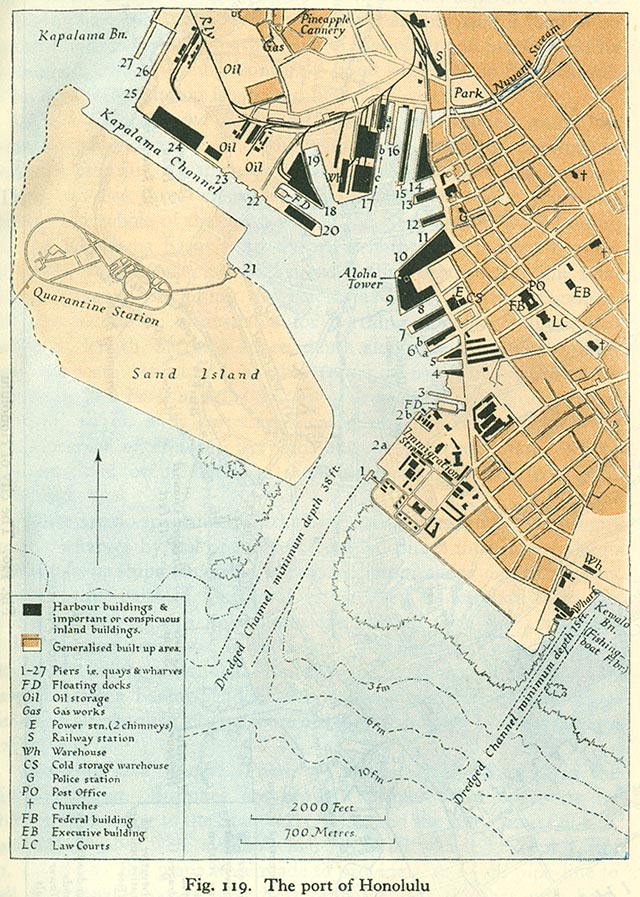
- Honolulu
- Other cities
[edit] British India
- Railways
- Bombay
[edit] Japan
[edit] Mariana Islands
- Maps
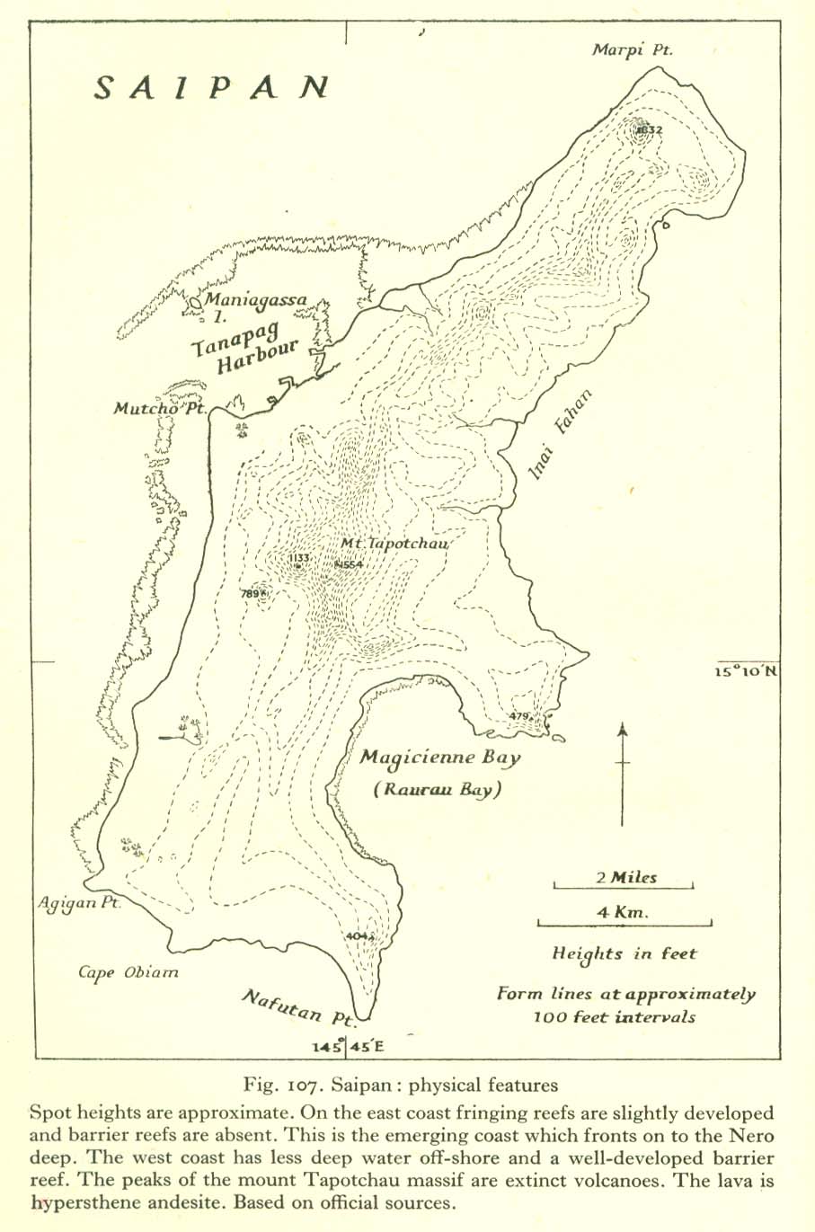
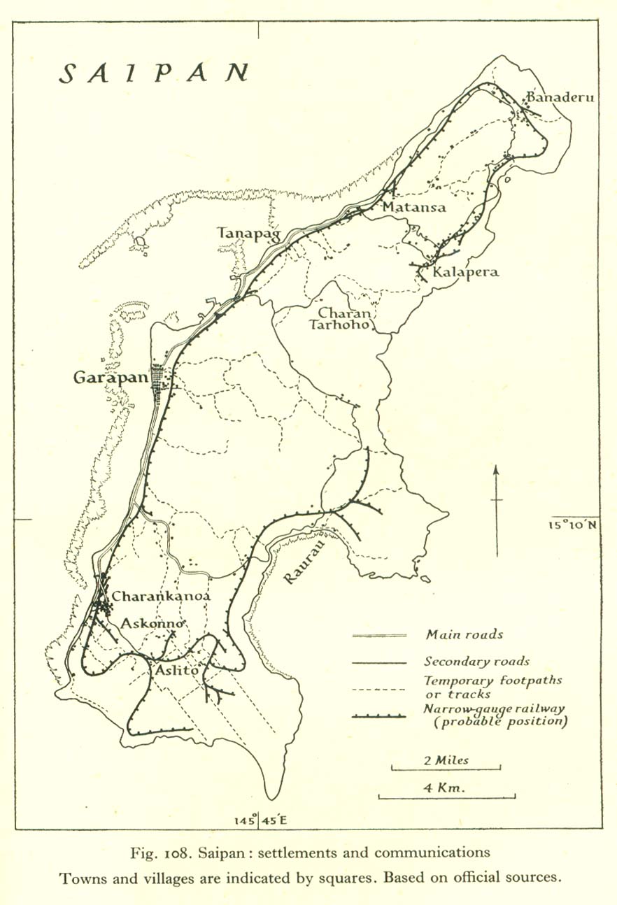
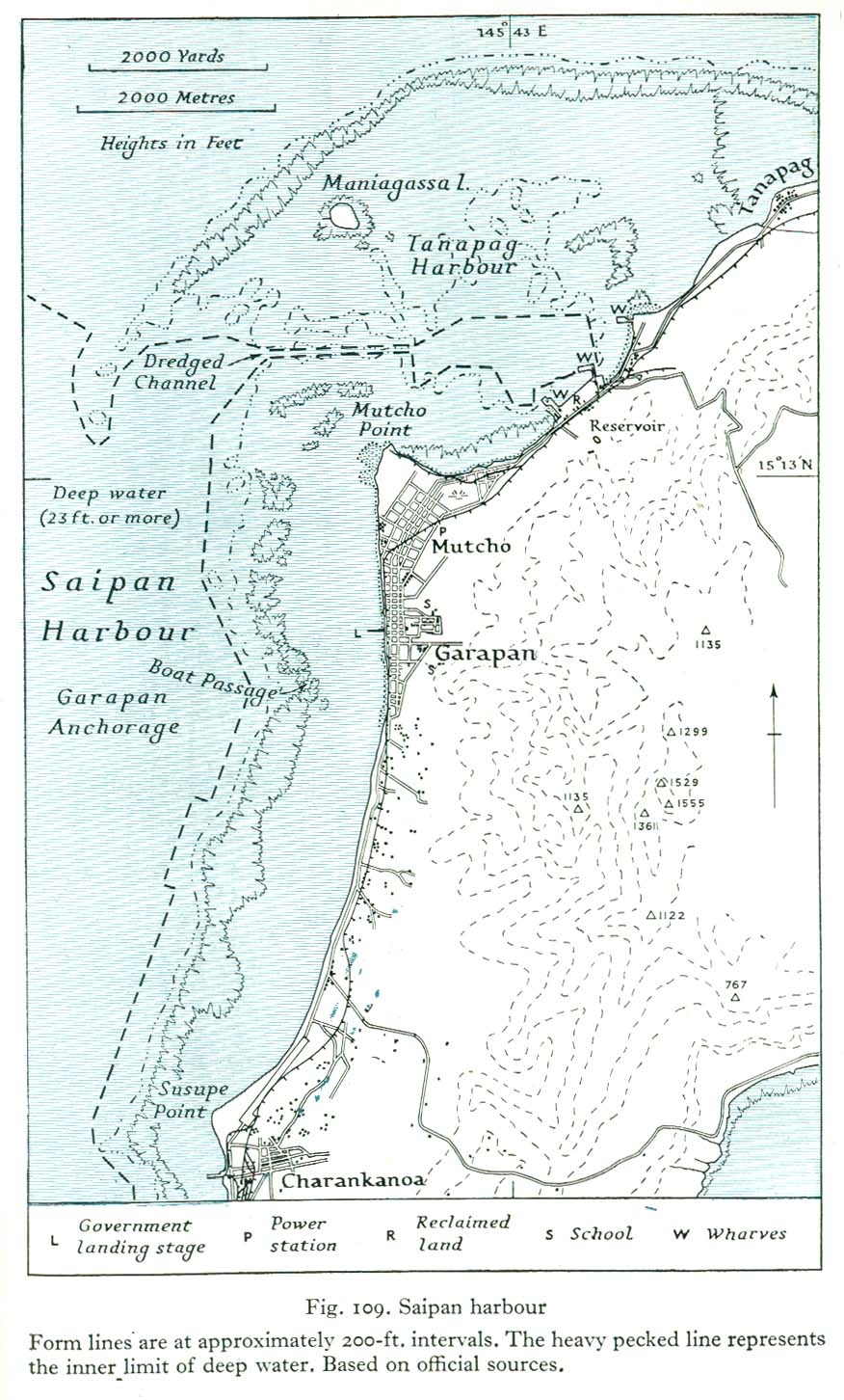
- Saipan
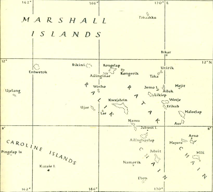
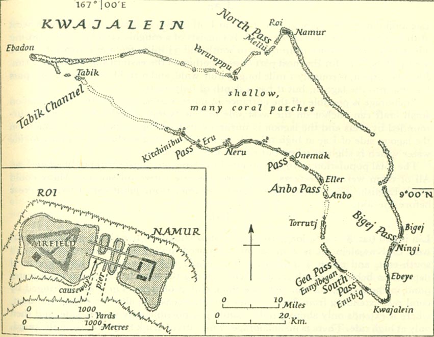
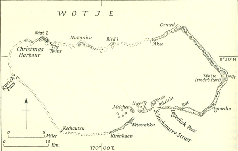
[edit] Marshall Islands
- Maps
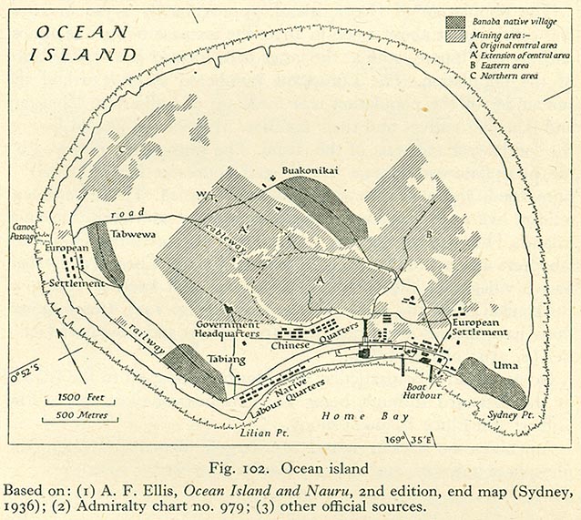
[edit] Nauru
[edit] Netherlands East Indies
[edit] New Caledonia
- Maps
- Reef map of New Caledonia
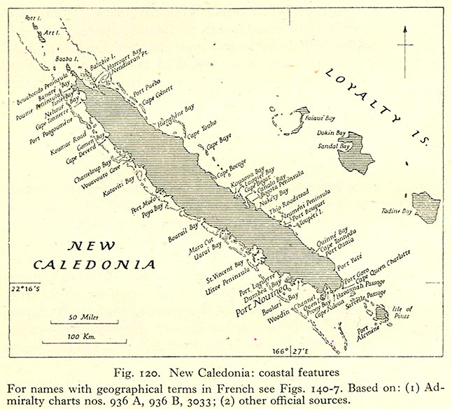
- Coastal map of New Caledonia
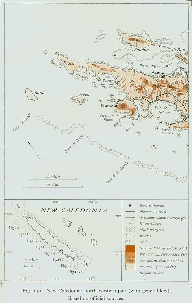
- Map of North-Western New Caledonia
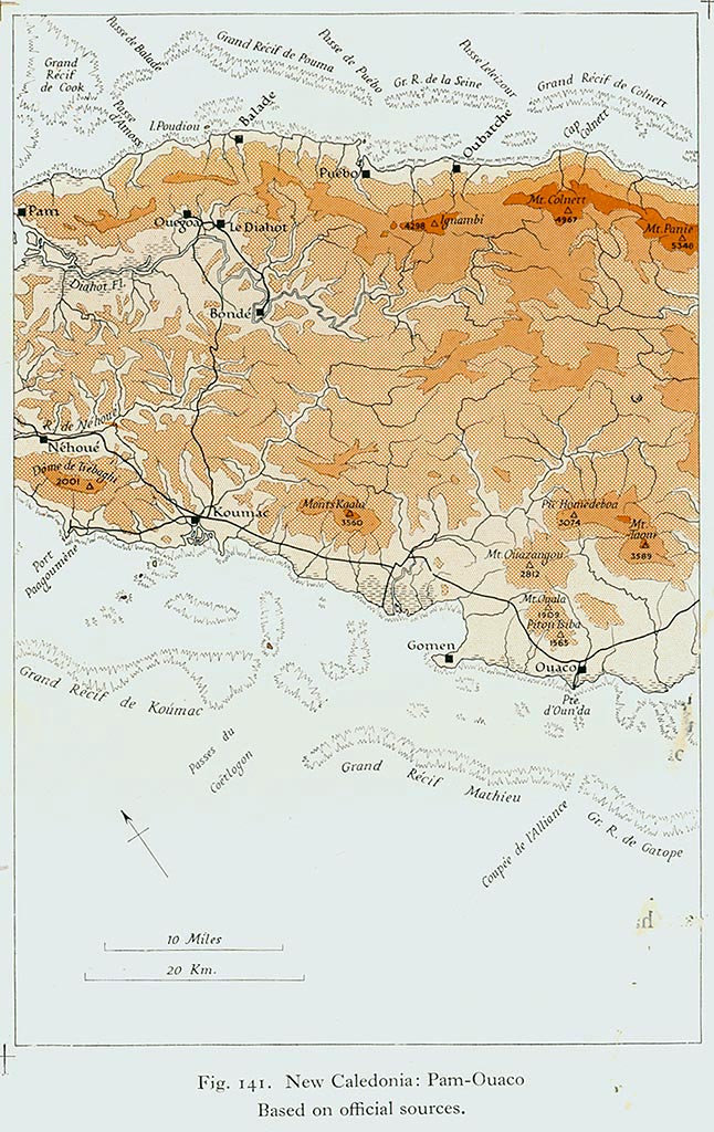
- Map of Pam-Ouaco region
- Map of Hienghène-Népoui region
- Map of Ponérihouen-Bourail region
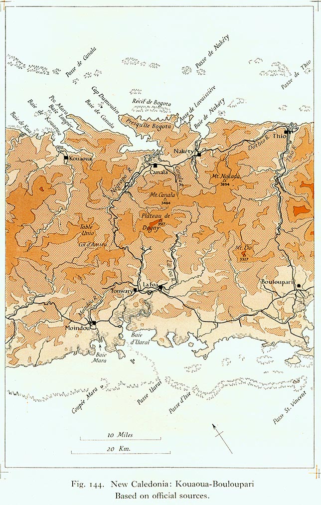
- Map of Kouaoua-Bouloupari region
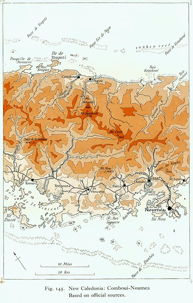
- Map of Comboui-Noumea region
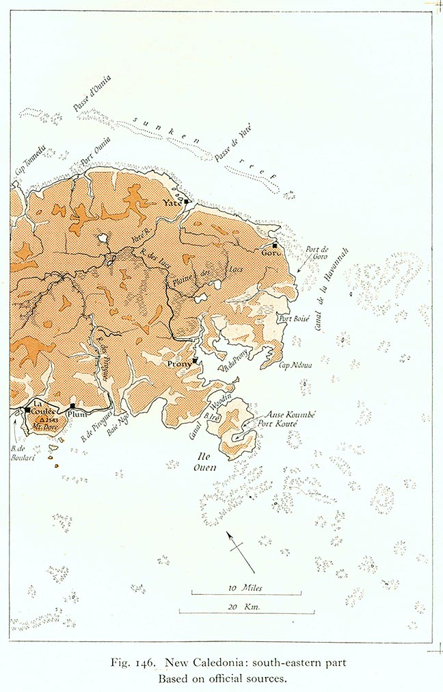
- Map of South-Eastern New Caledonia
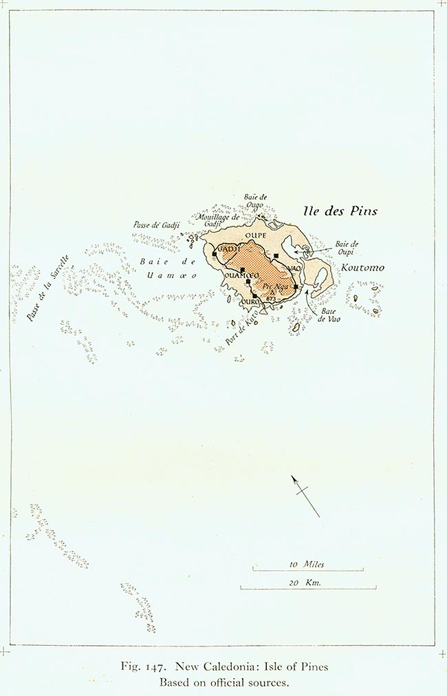
- Map of the Isle of Pines
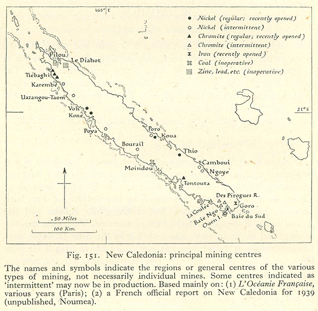
- Map of principal mining centres
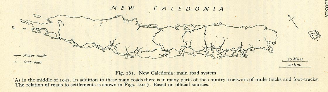
- Road map of New Caledonia
- Noumea
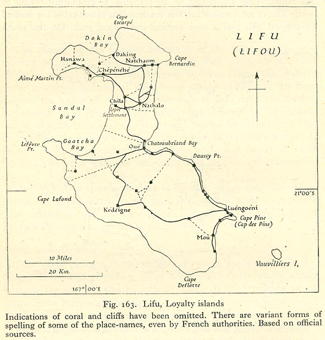
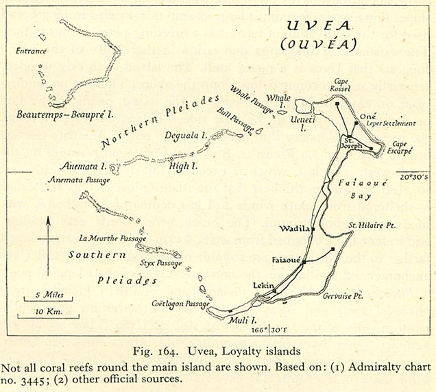
- Loyalty Islands
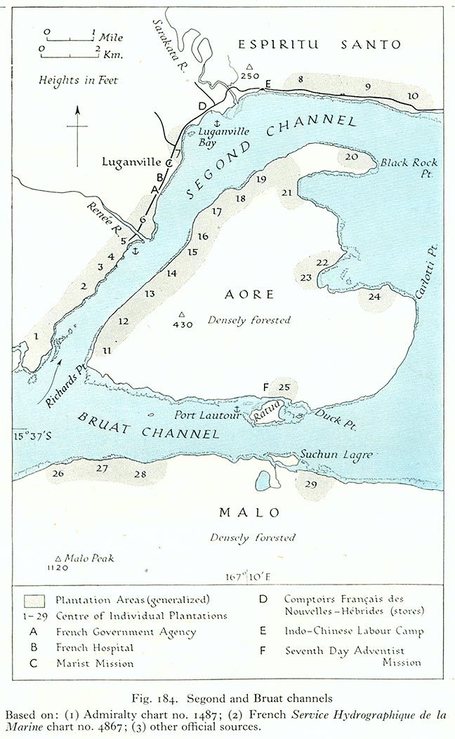
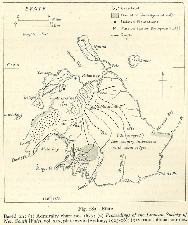
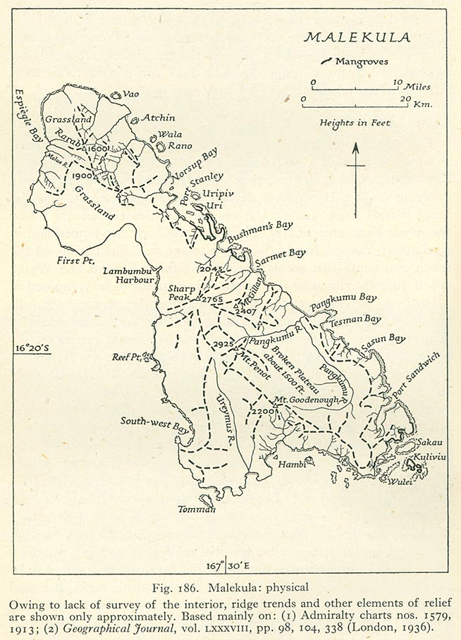
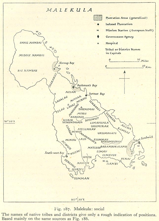
[edit] New Hebrides
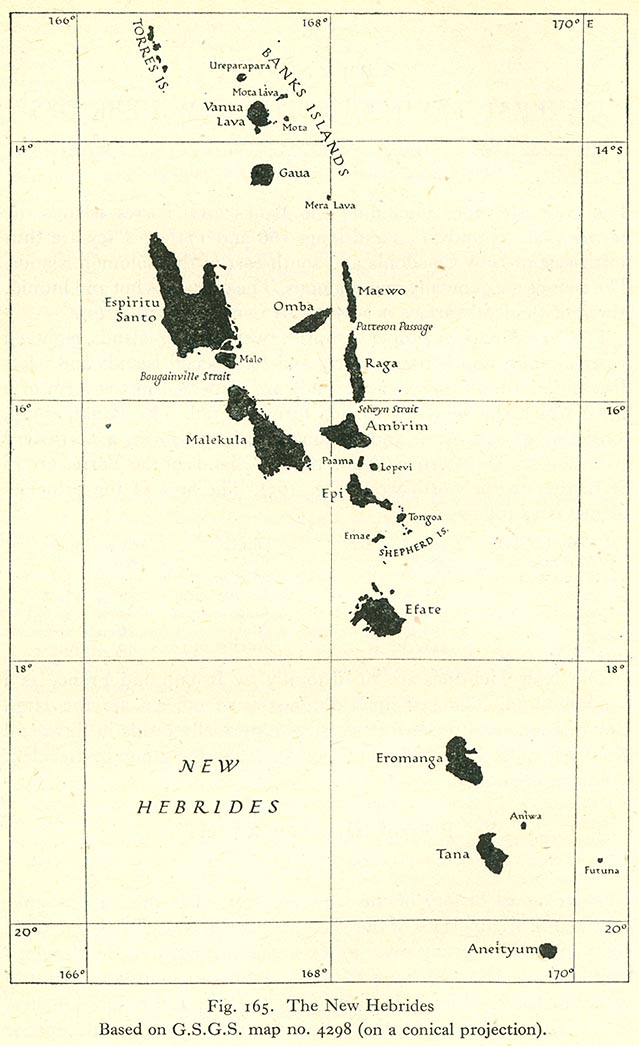
- Maps
- Efate
- Malekula
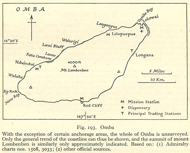
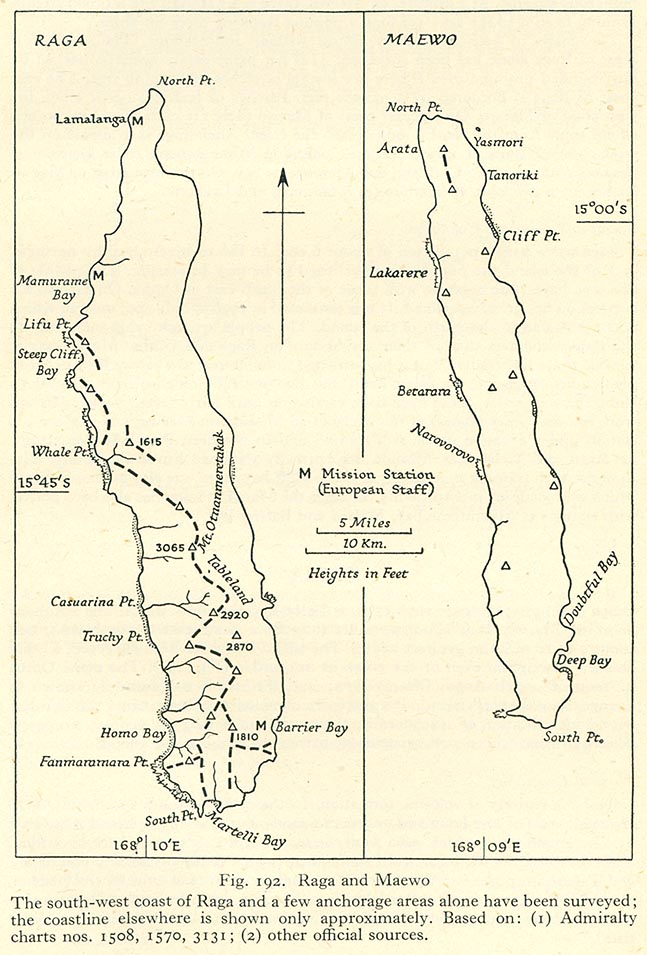
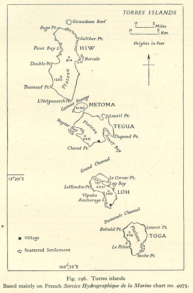
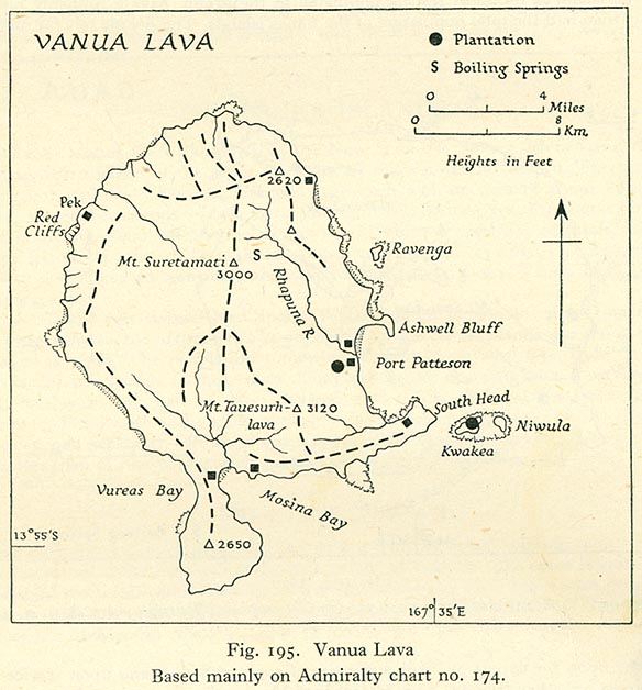
- Other islands
[edit] Norway
- Oslo
[edit] Australian Pacific Islands
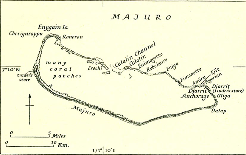
[edit] New Zealand Pacific Islands
- Maps
[edit] United States Pacific Islands
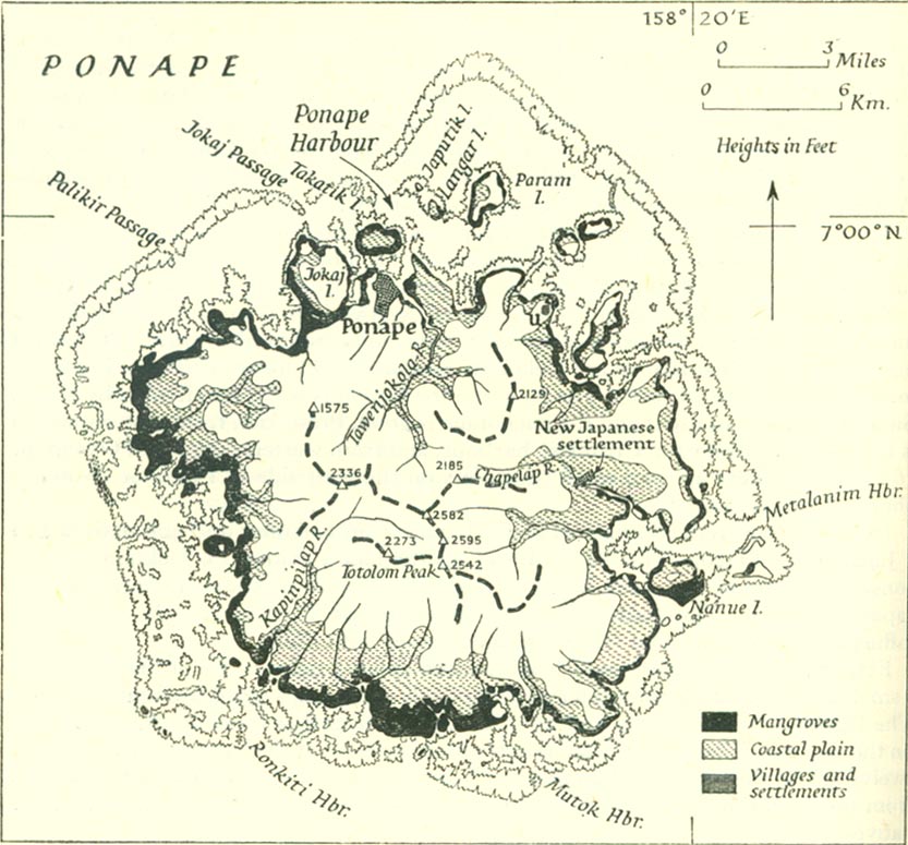
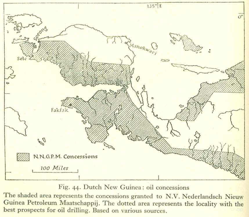
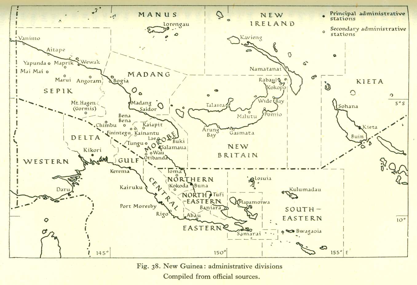
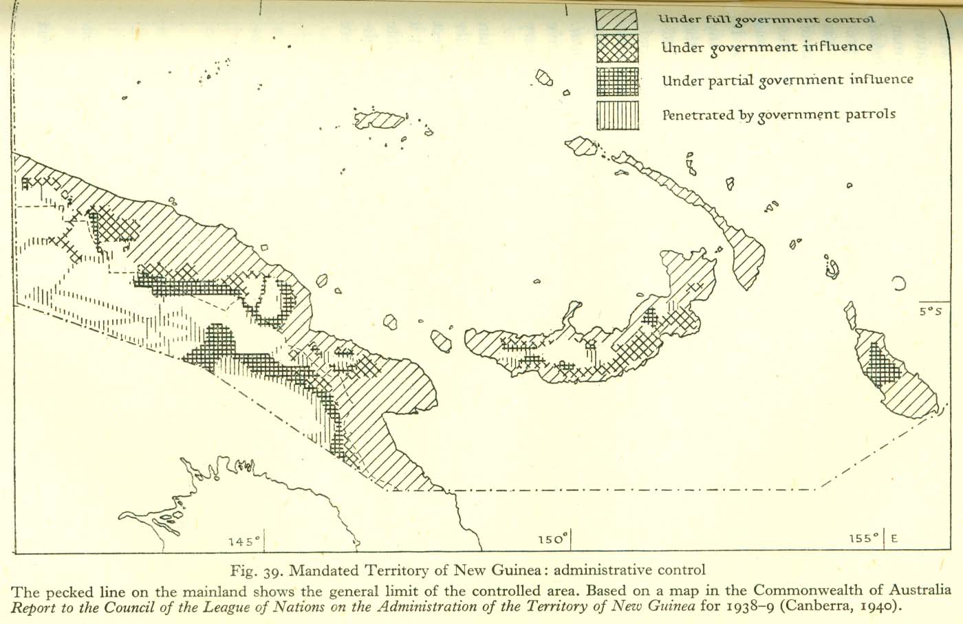
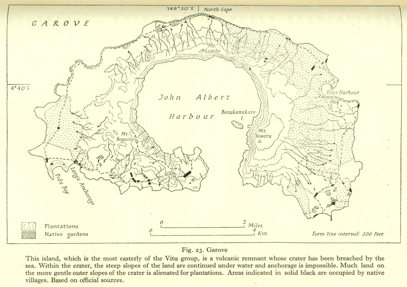
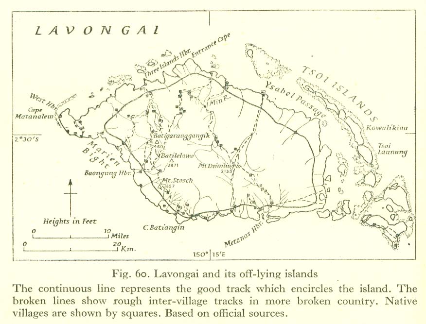
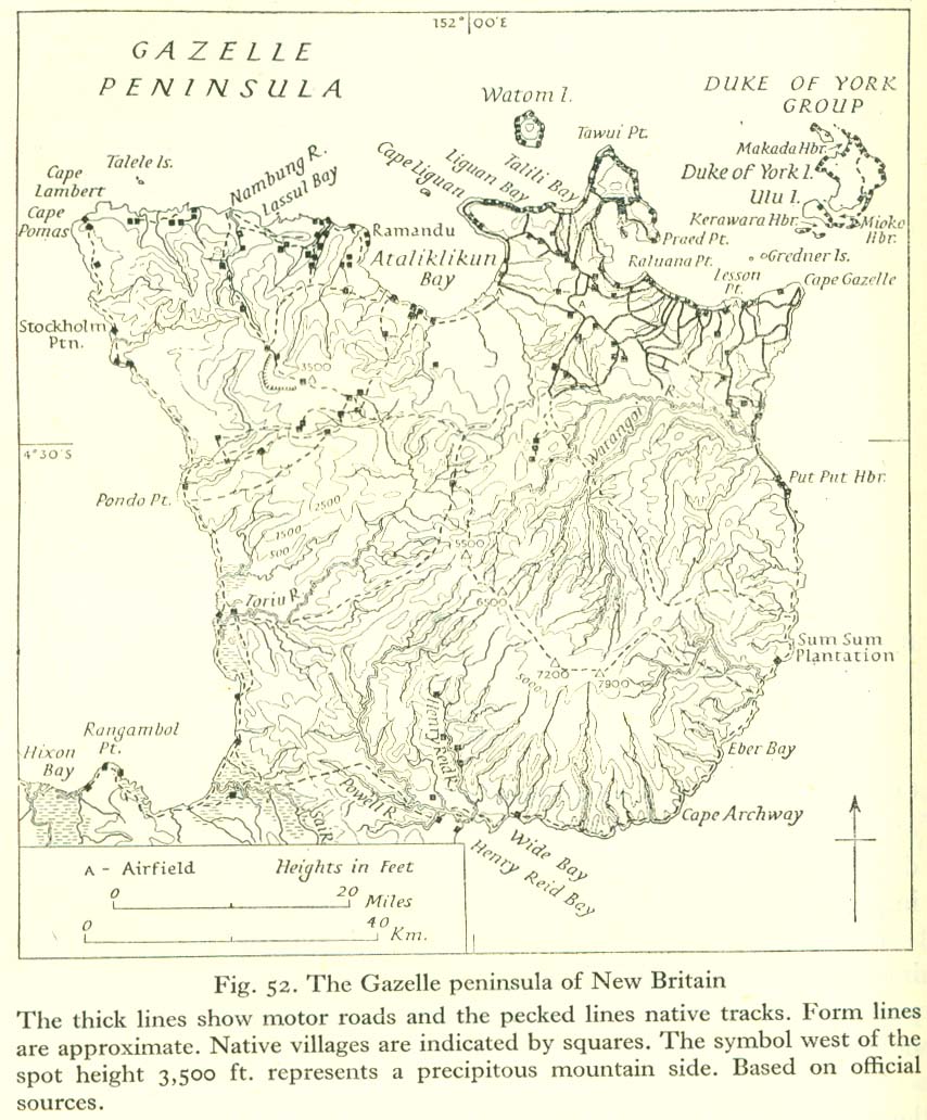
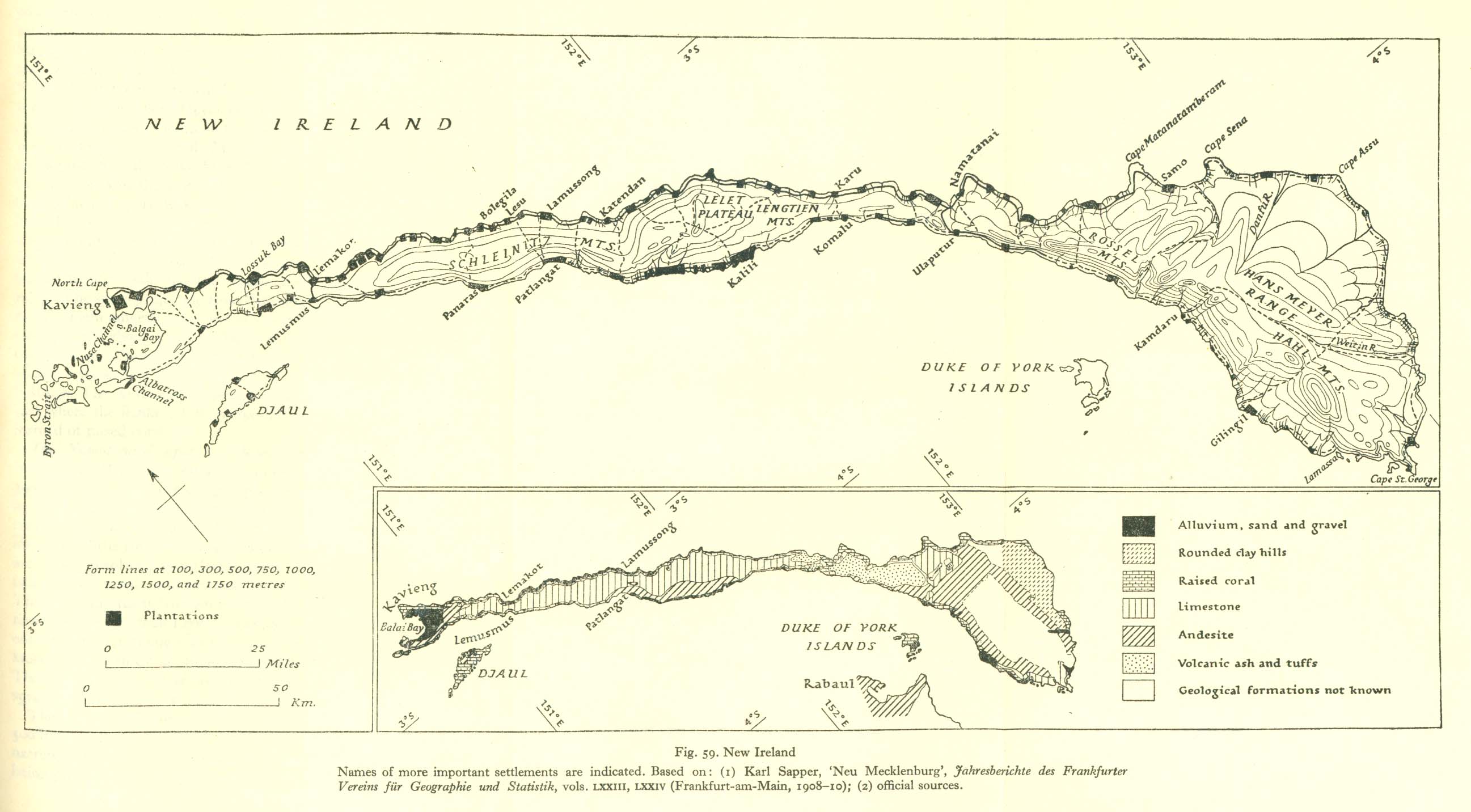
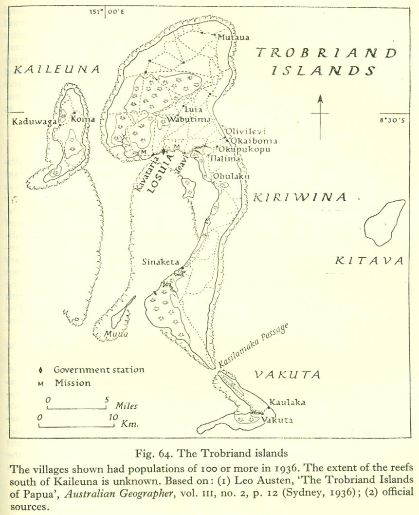
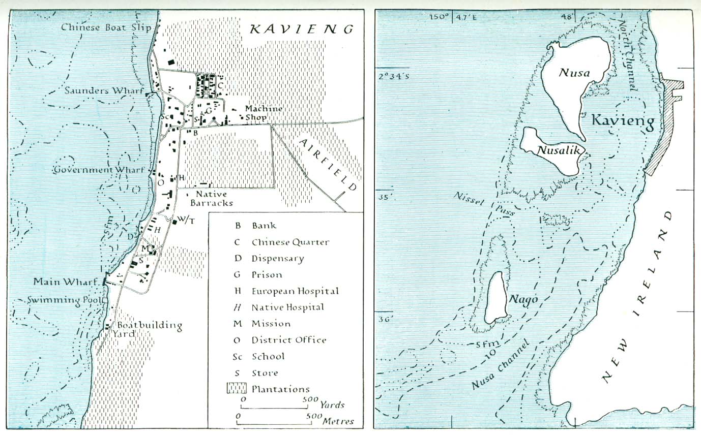
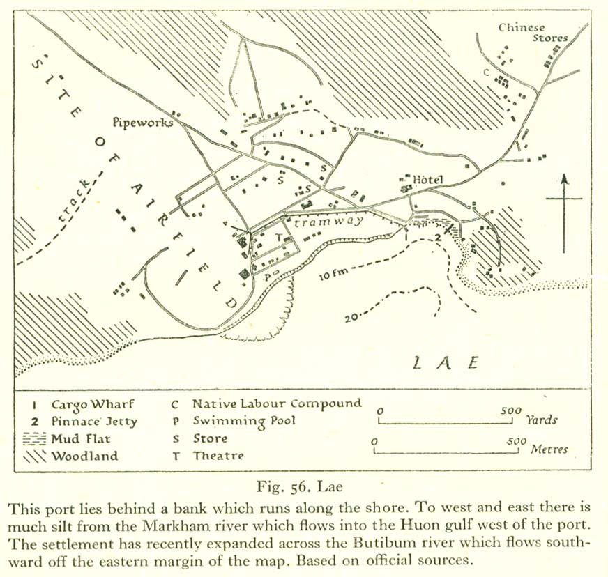
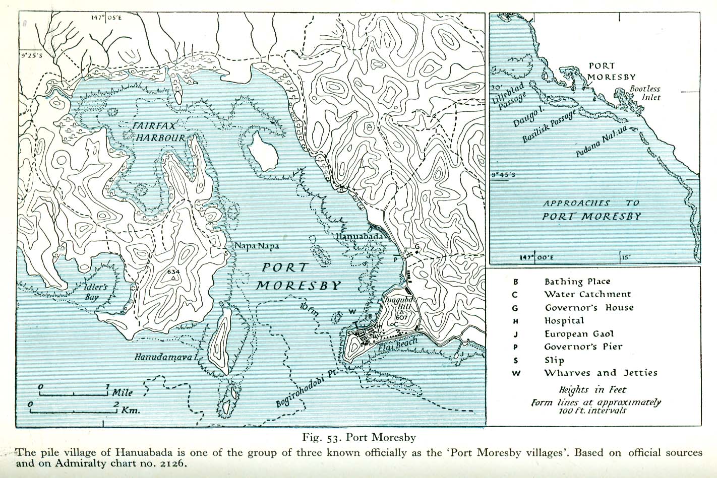
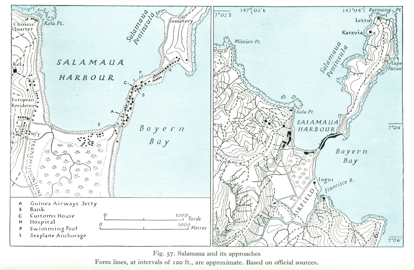
[edit] Papua and New Guinea
- Maps
- Administrative map of Papua and New Guinea
- Vegetation map of Papua and New Guinea
- Map of New Guinea showing extent of government control
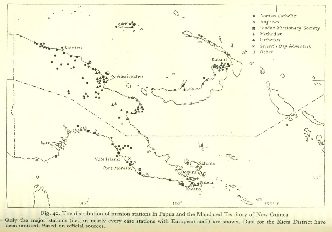
- Map of mission stations in Papua and New Guinea
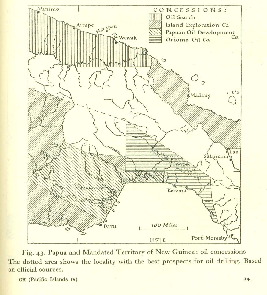
- Map of oil concessions in Papua and New Guinea
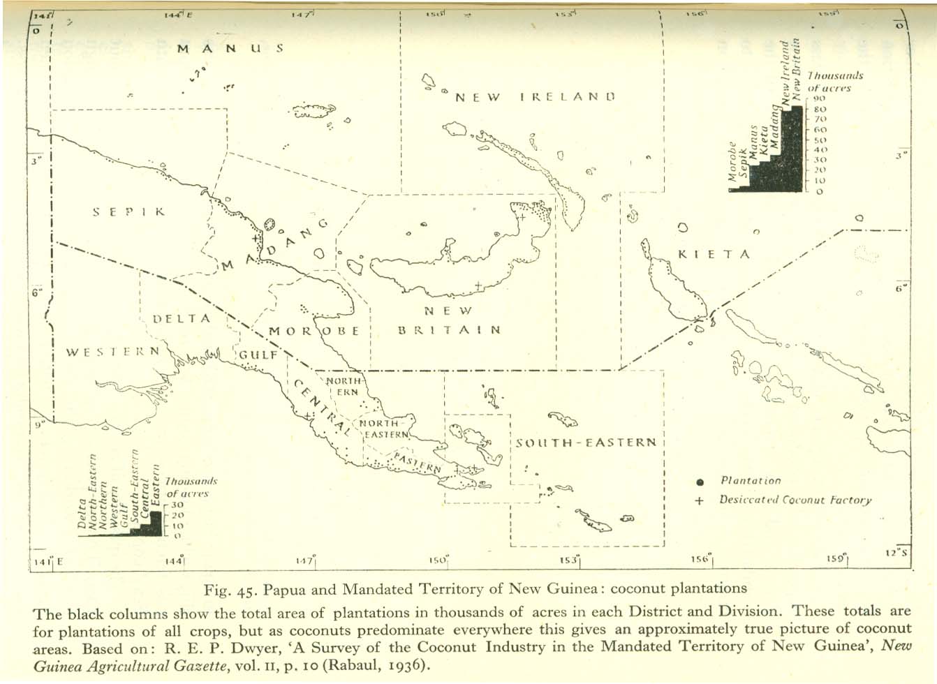
- Map of coconut plantations in Papua and New Guinea
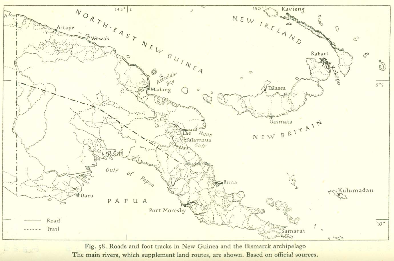
- Road map of Papua and New Guinea
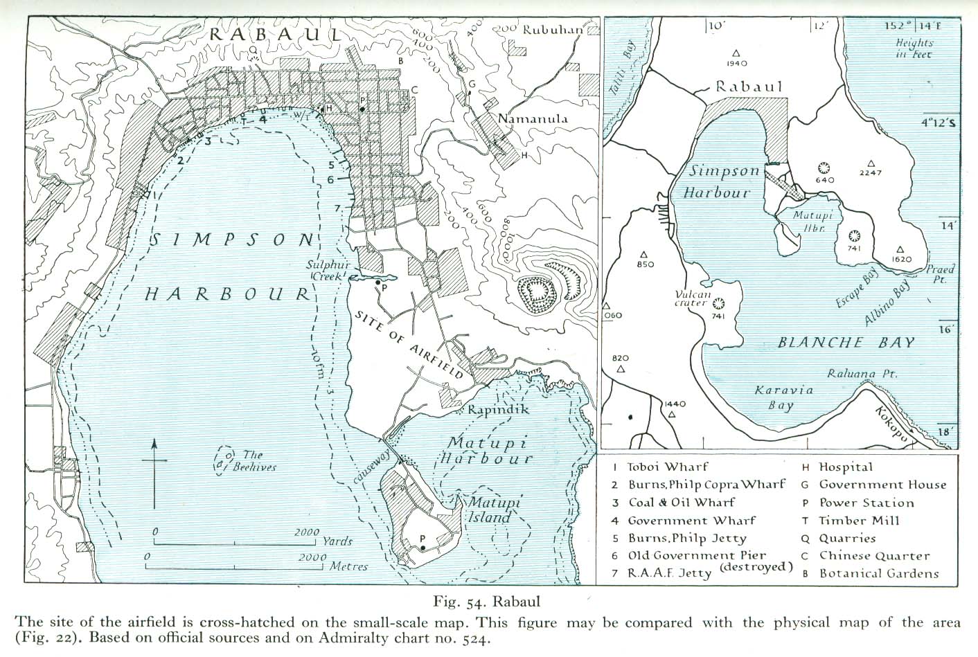
- Bismarck Archipelago
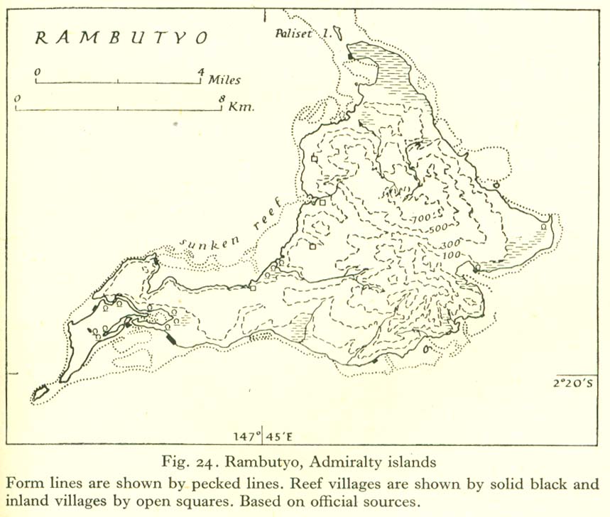
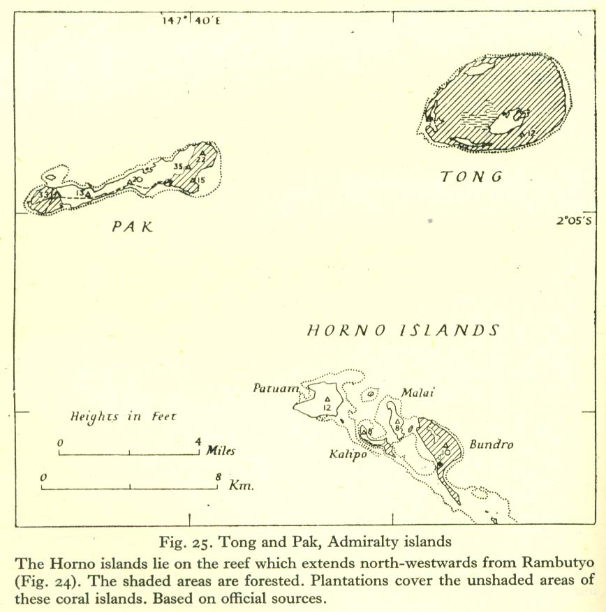
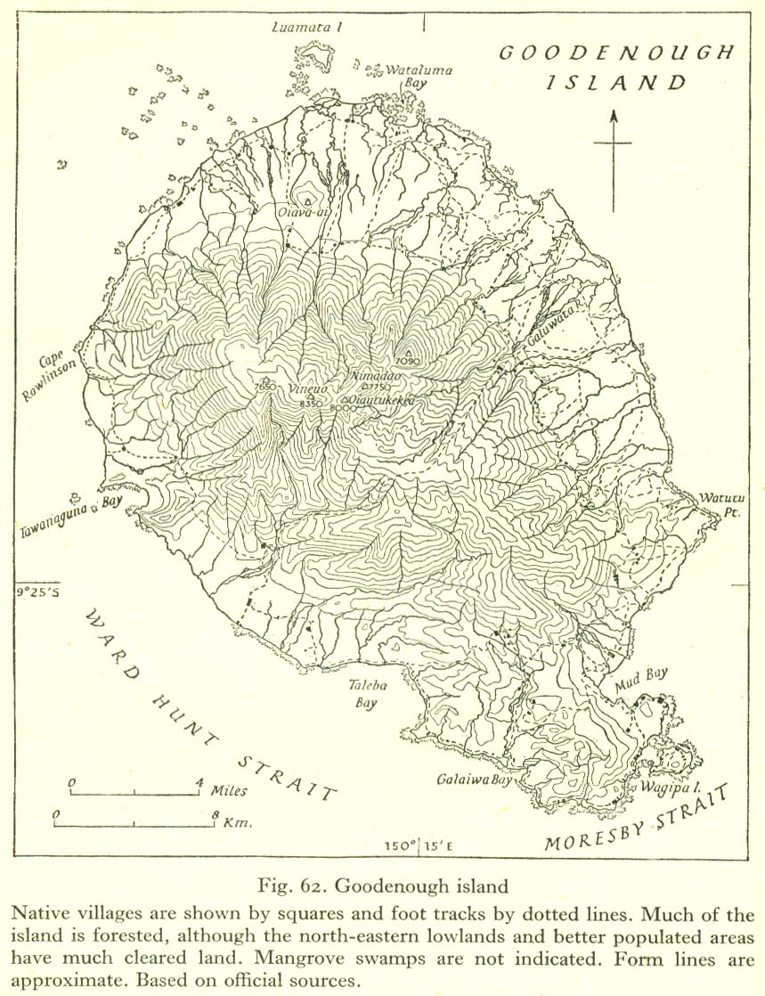
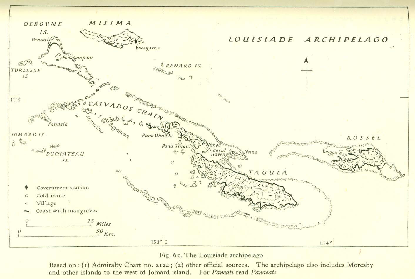
- Other islands
- Settlements
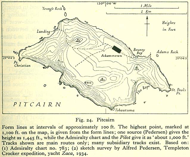
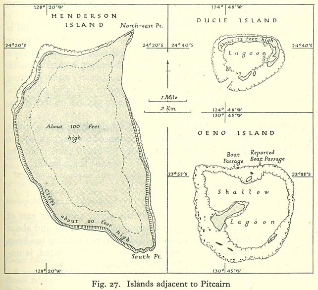
[edit] Pitcairn Islands
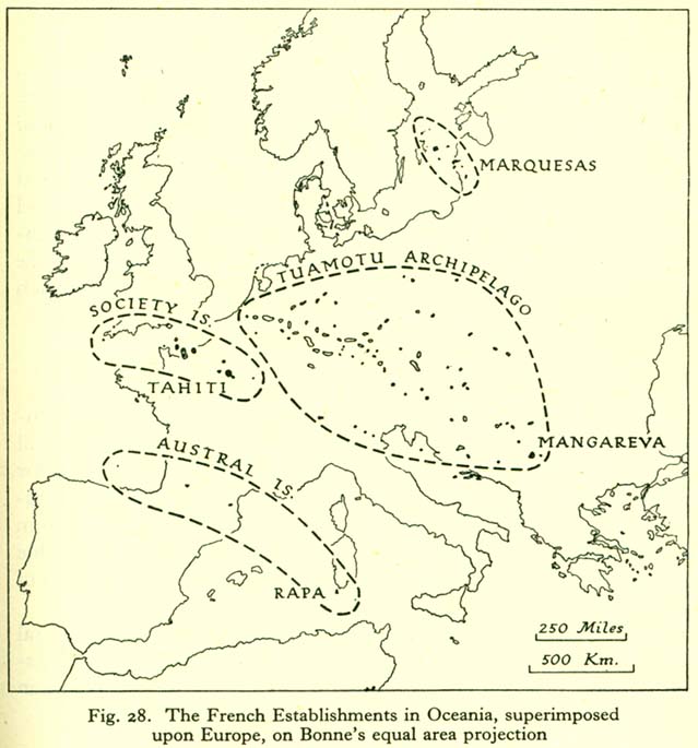
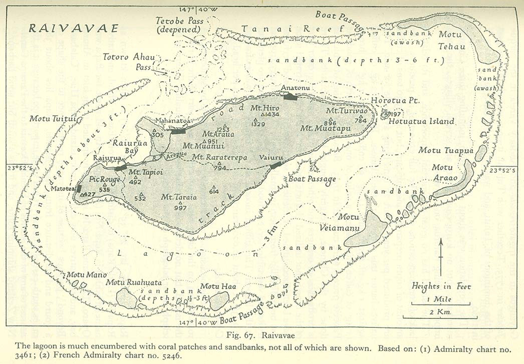
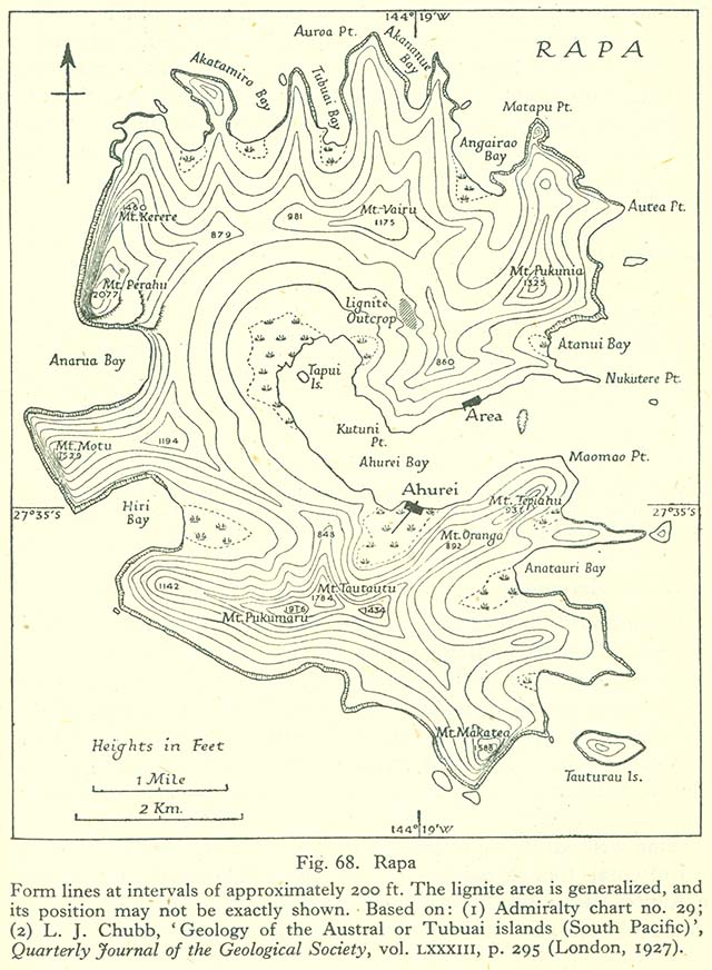
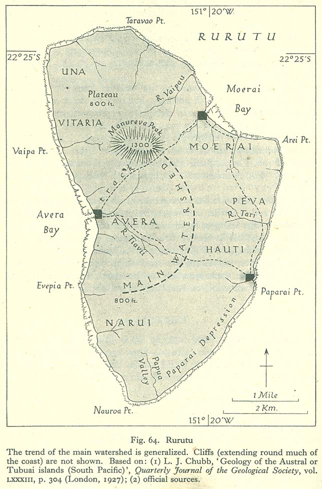
[edit] French Polynesia
- Maps
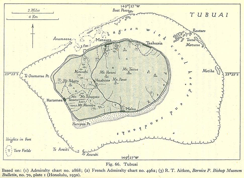
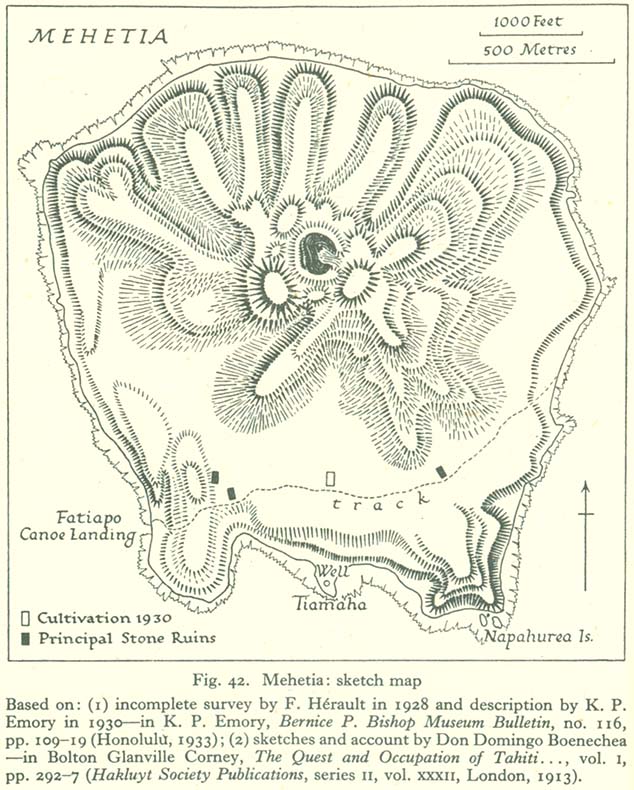
- Austral Islands
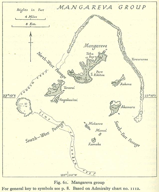
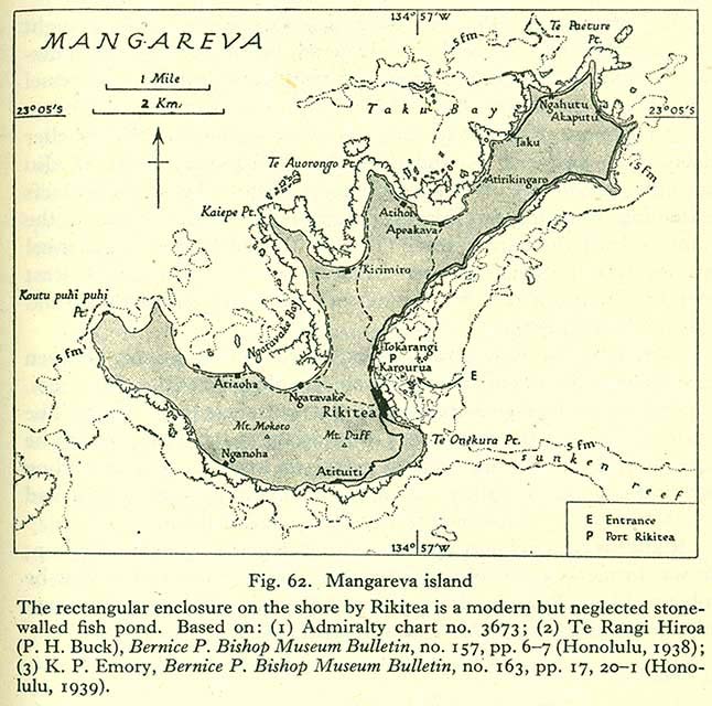
- Gambier Islands
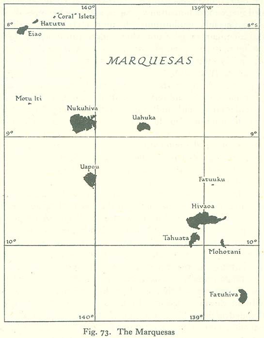
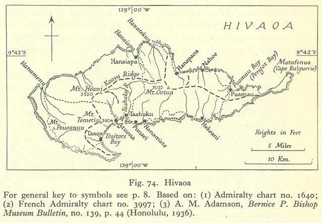
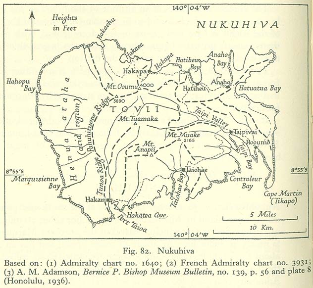
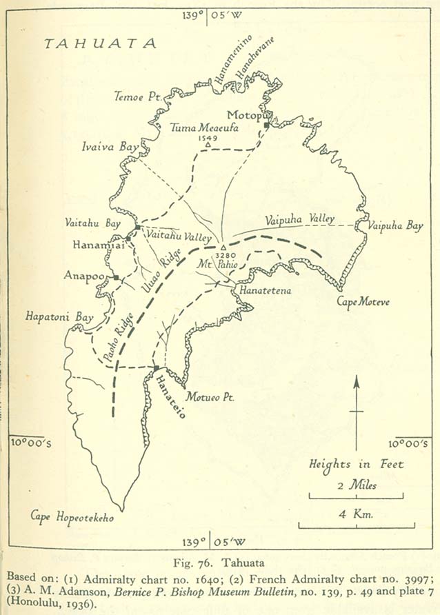
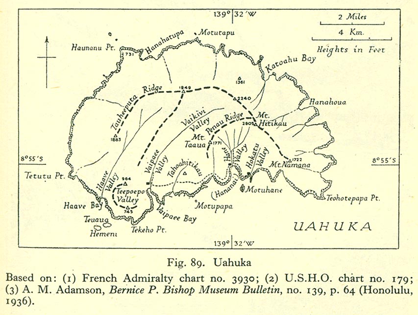
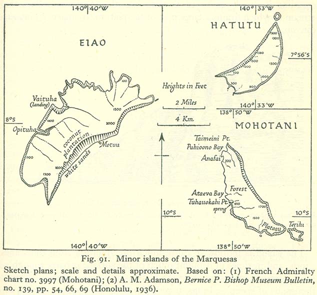
- Marquesas Islands
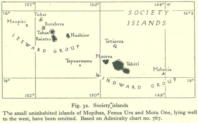
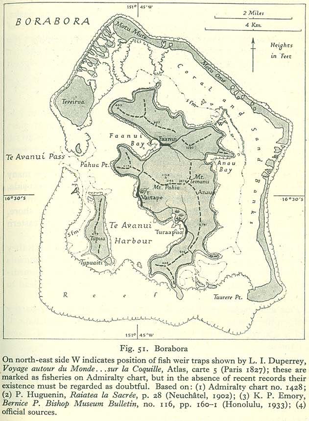
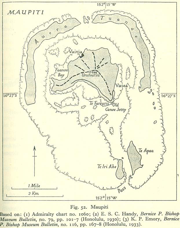
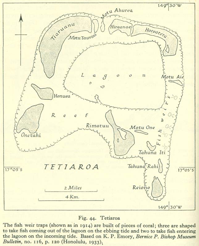
- Society Islands
- Maps
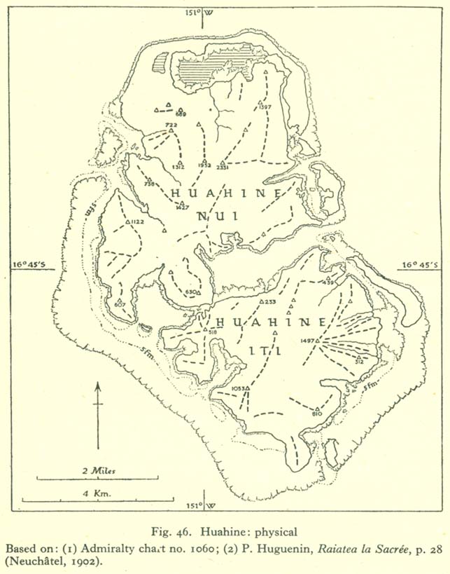
- Huahine
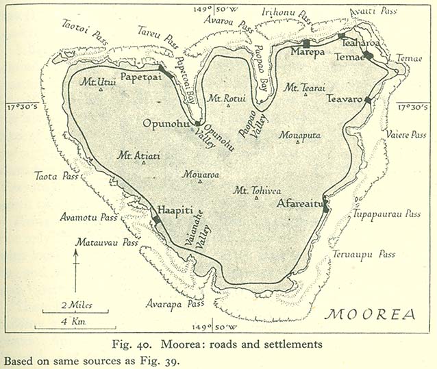
- Moorea
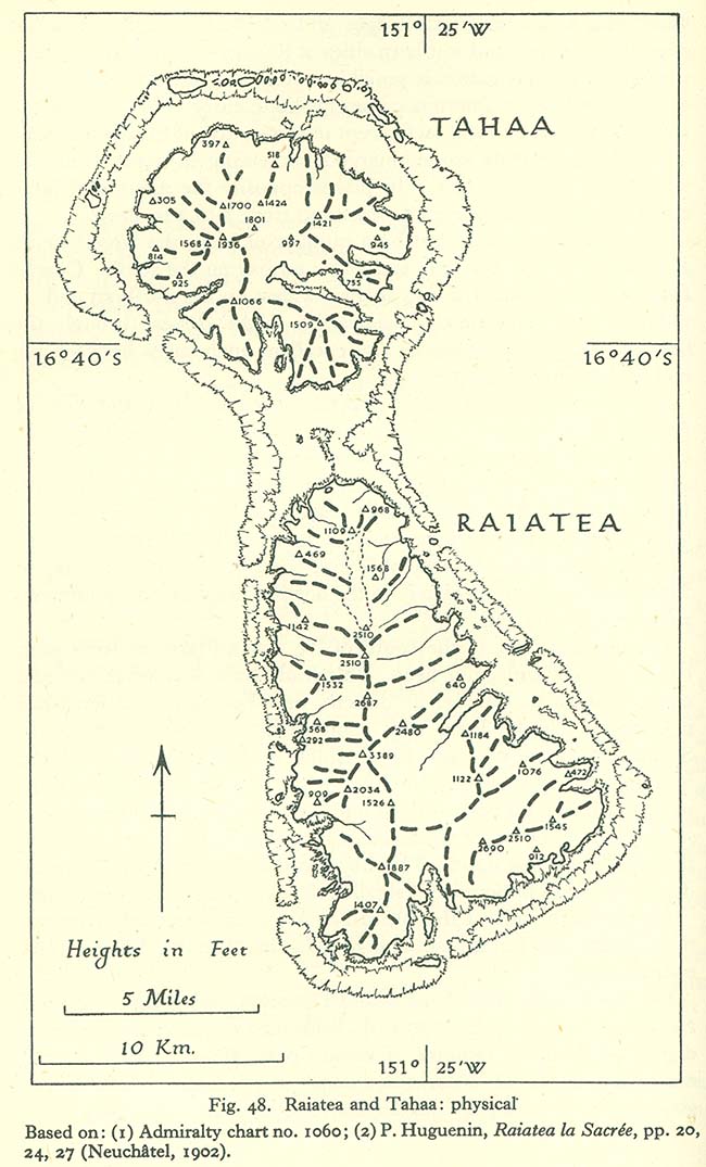
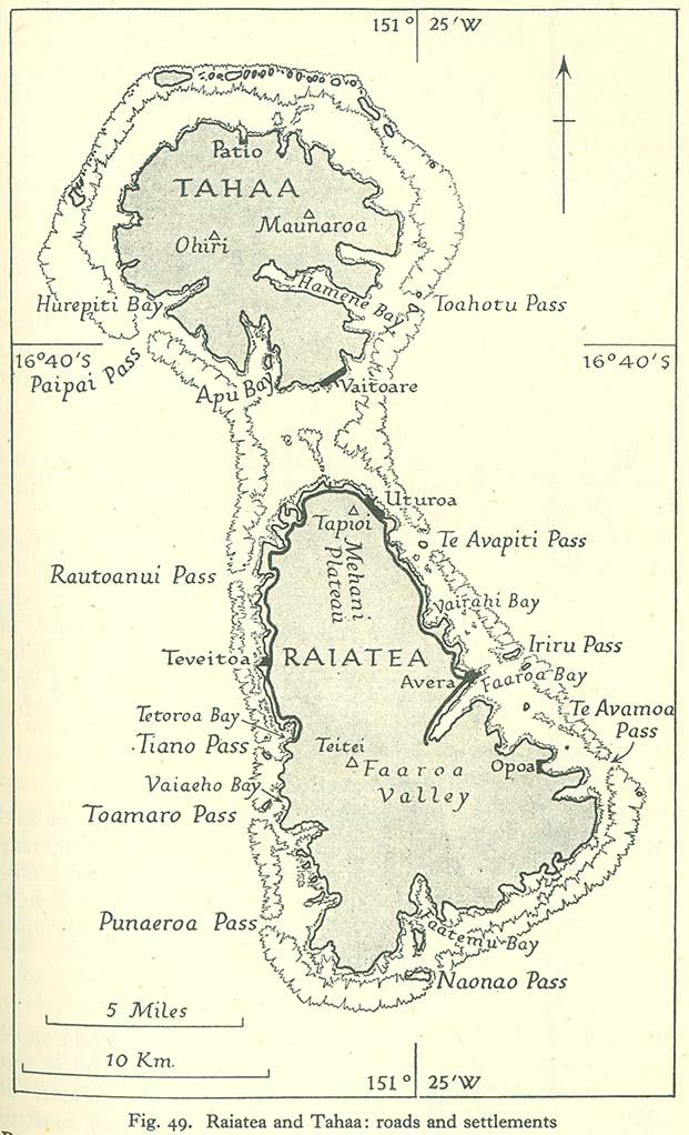
- Raiatea and Tahaa
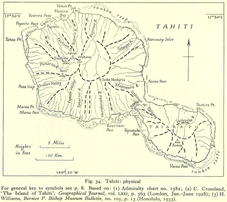
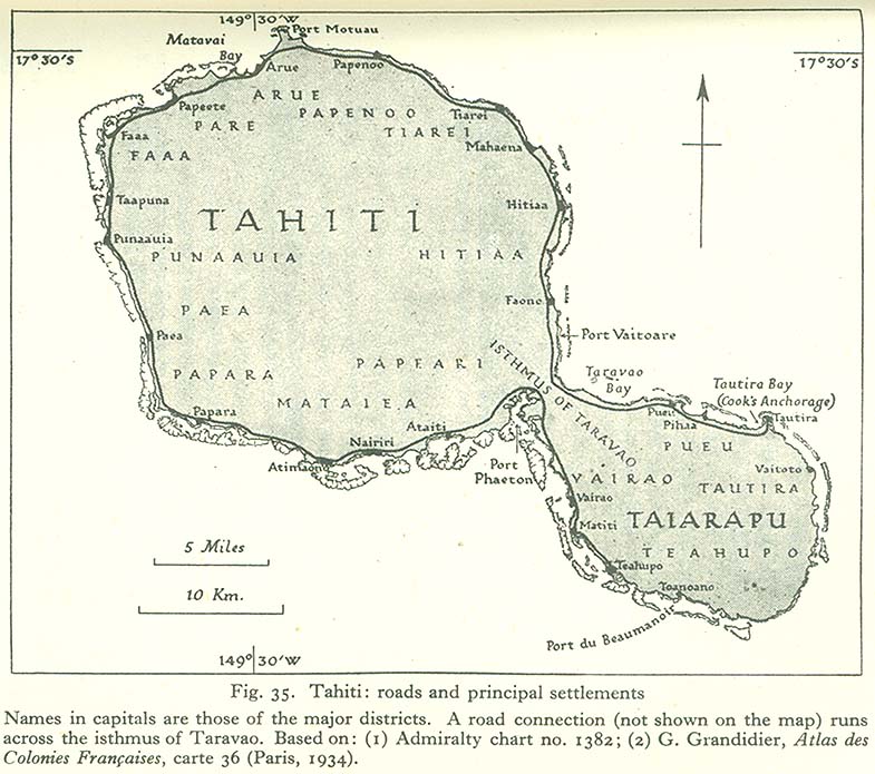
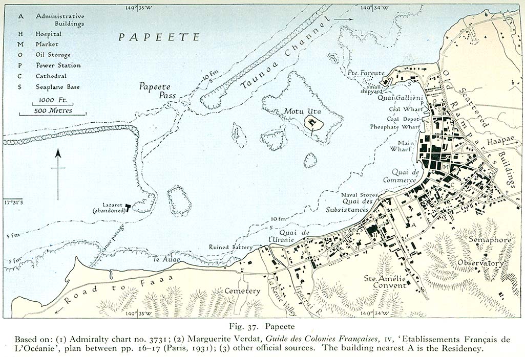
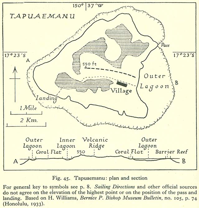
- Tahiti
- Other islands
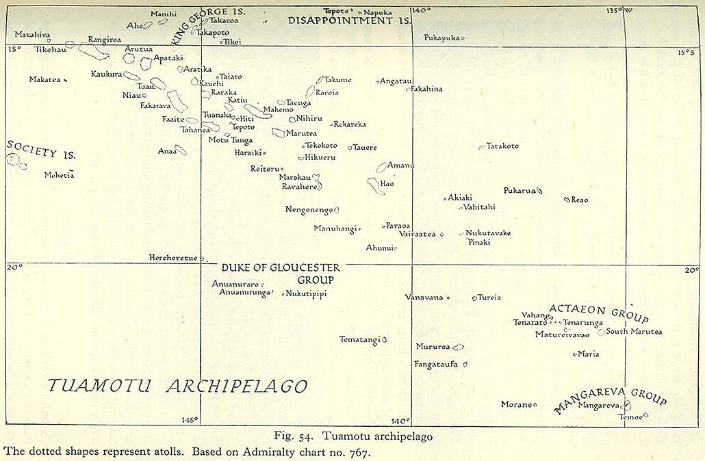
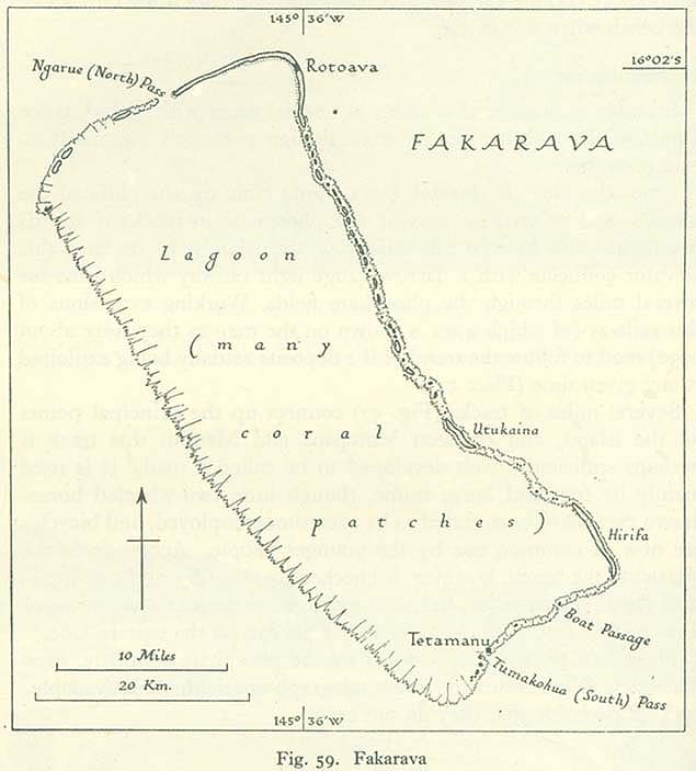
- Tuamotu Islands
- Other islands
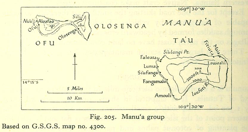
[edit] American Samoa
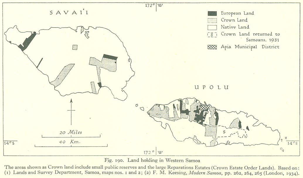
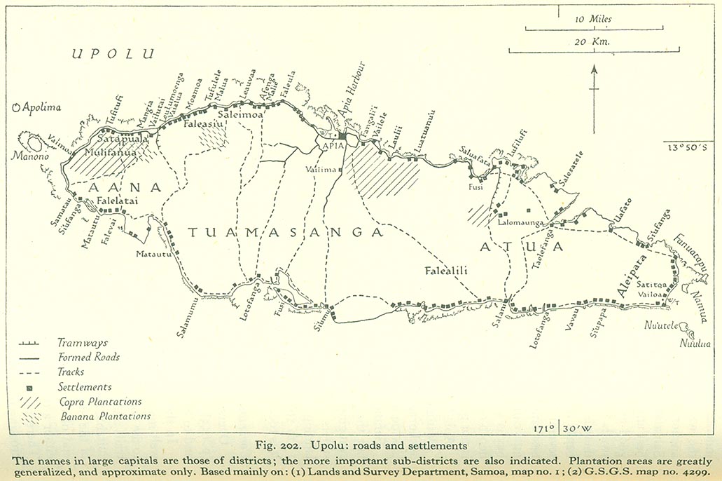
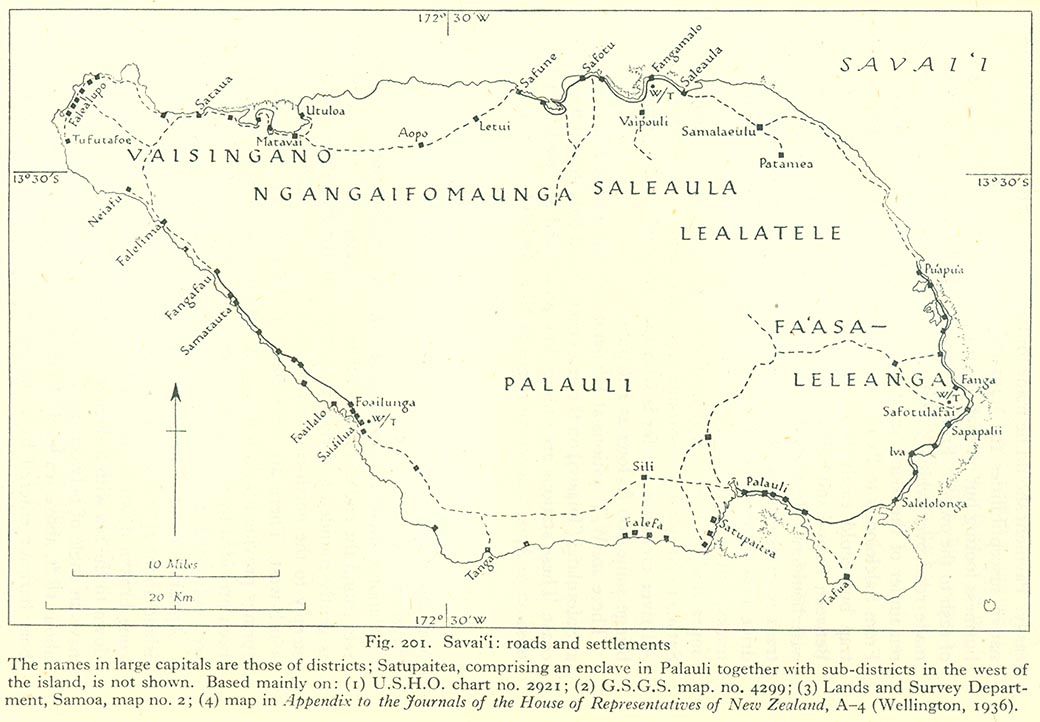
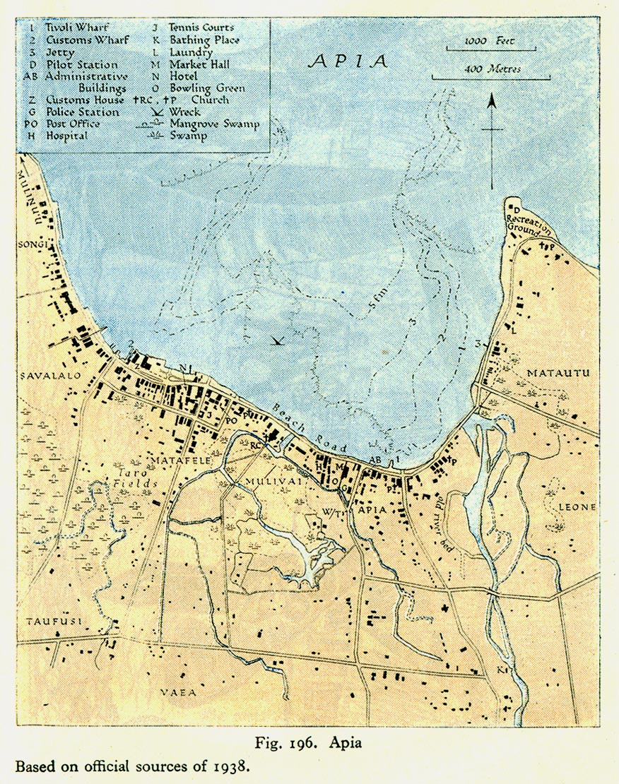
[edit] Western Samoa
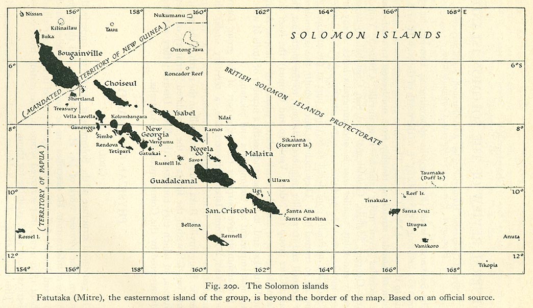
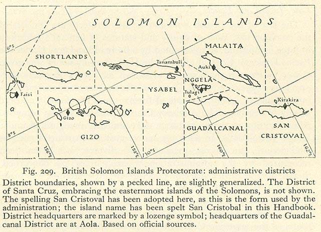
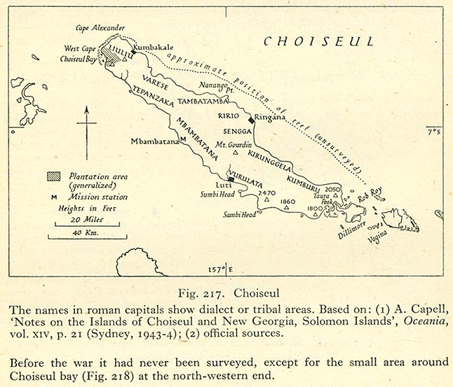
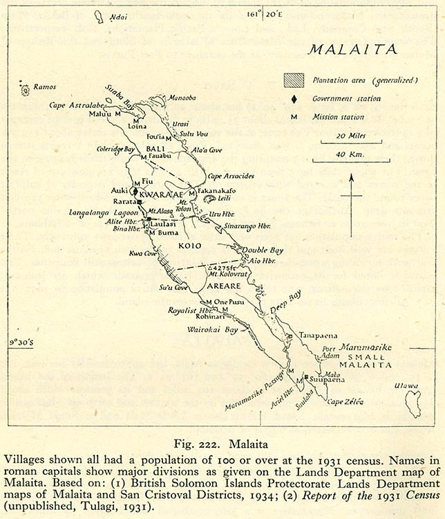
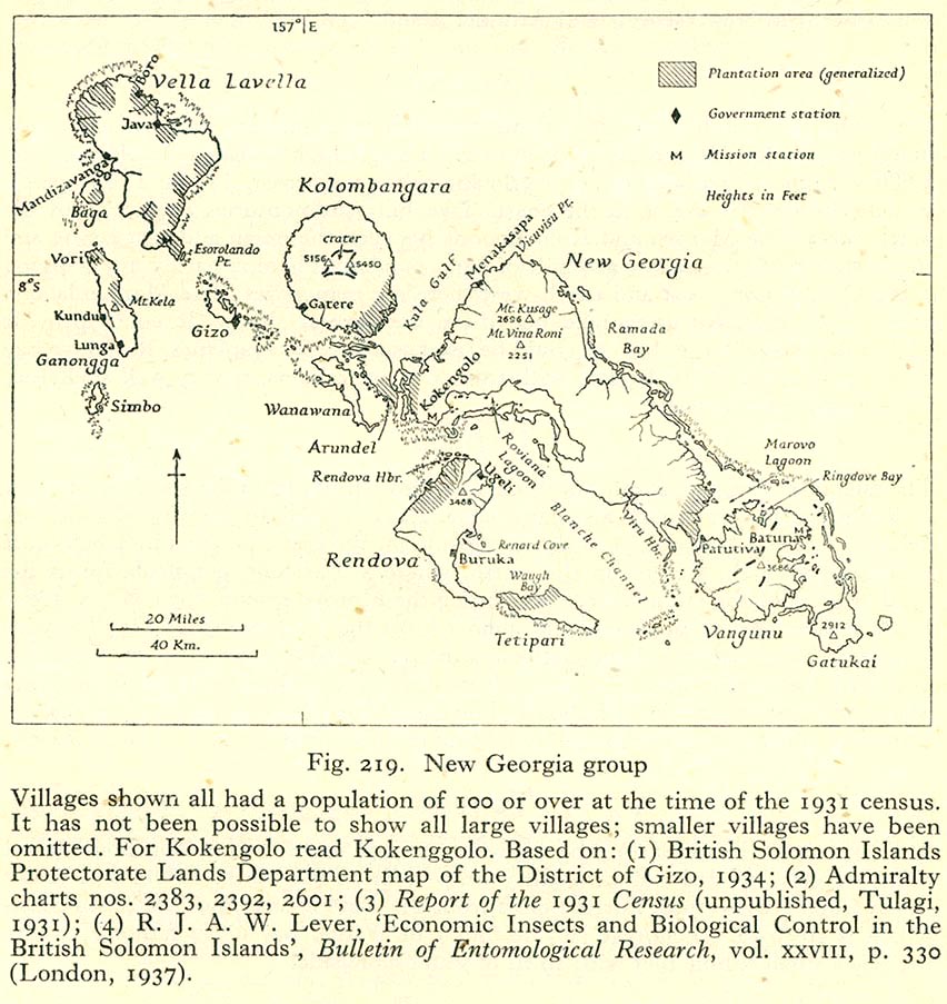
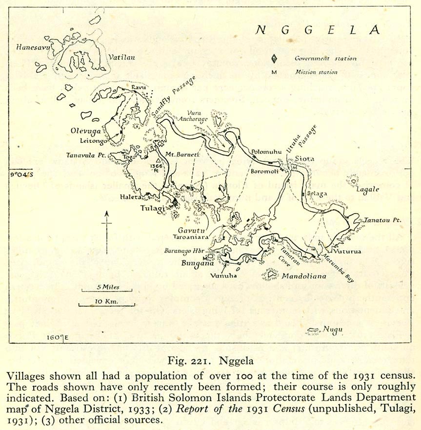
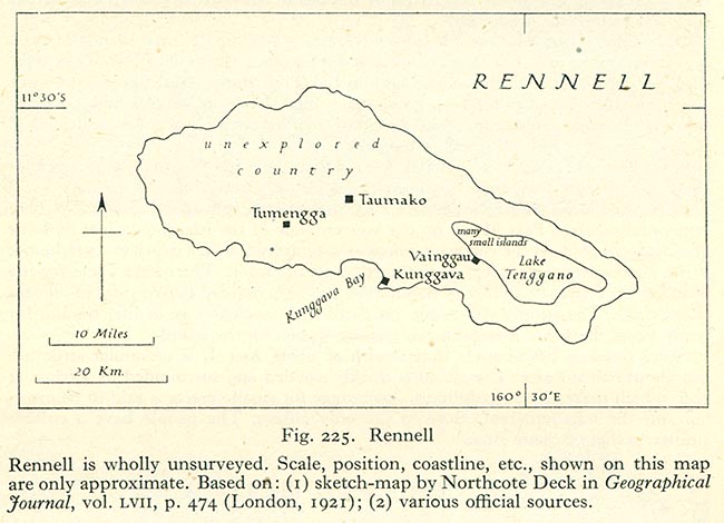
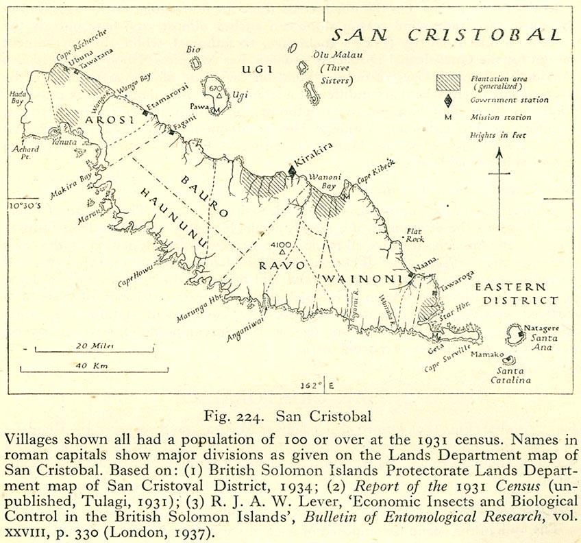
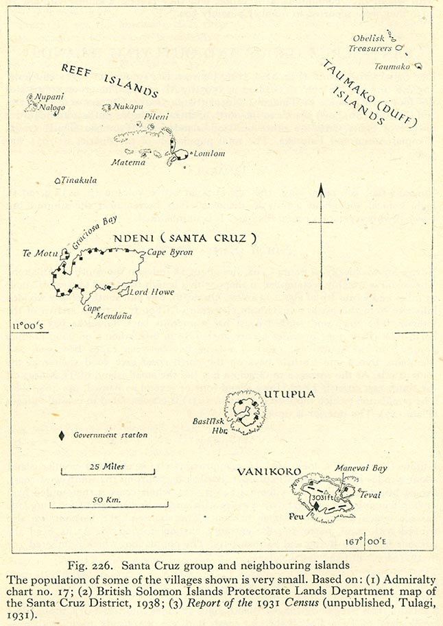
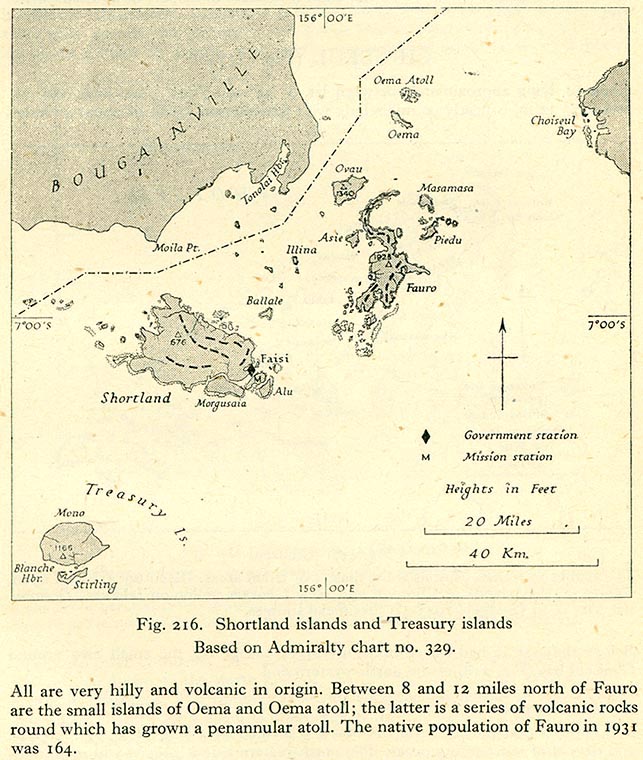
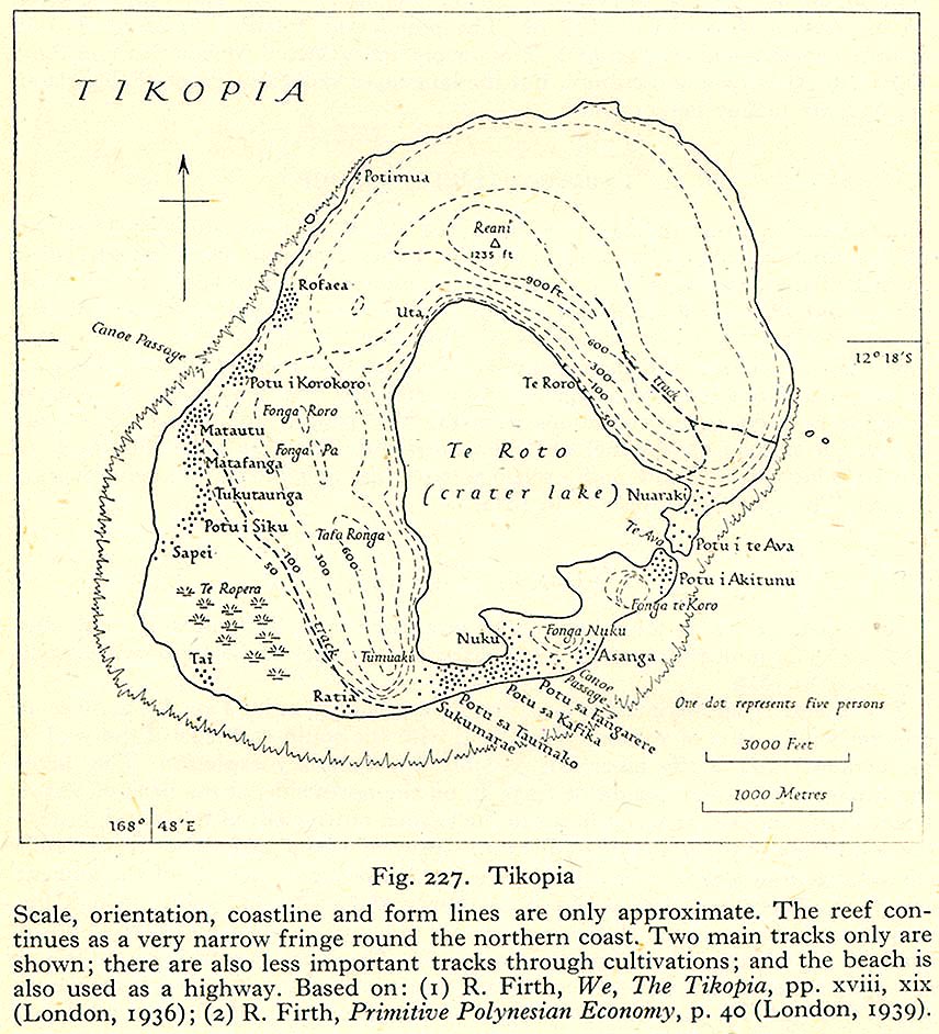
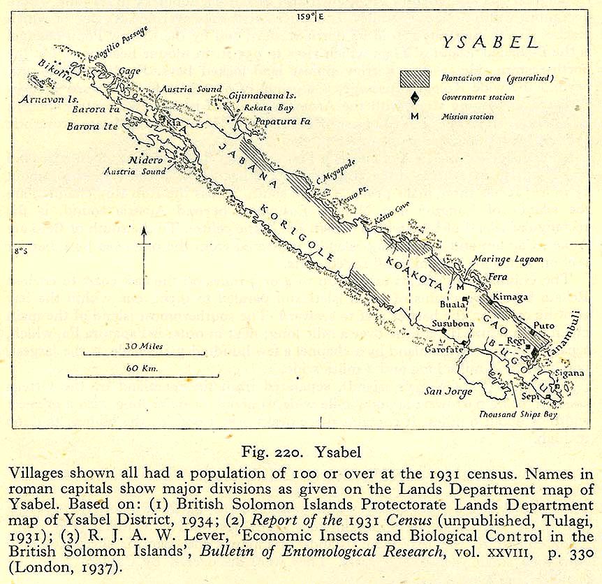
[edit] Solomon Islands Protectorate
- Maps
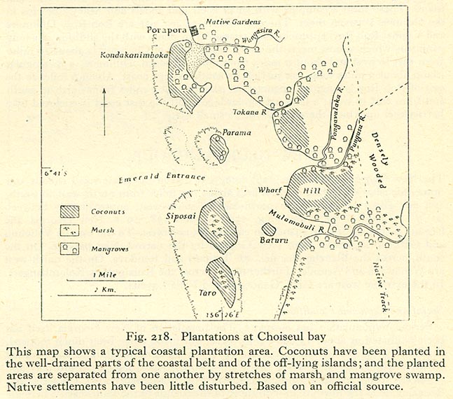
- Choiseul
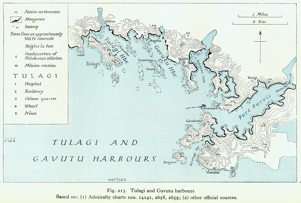
- Tulagi
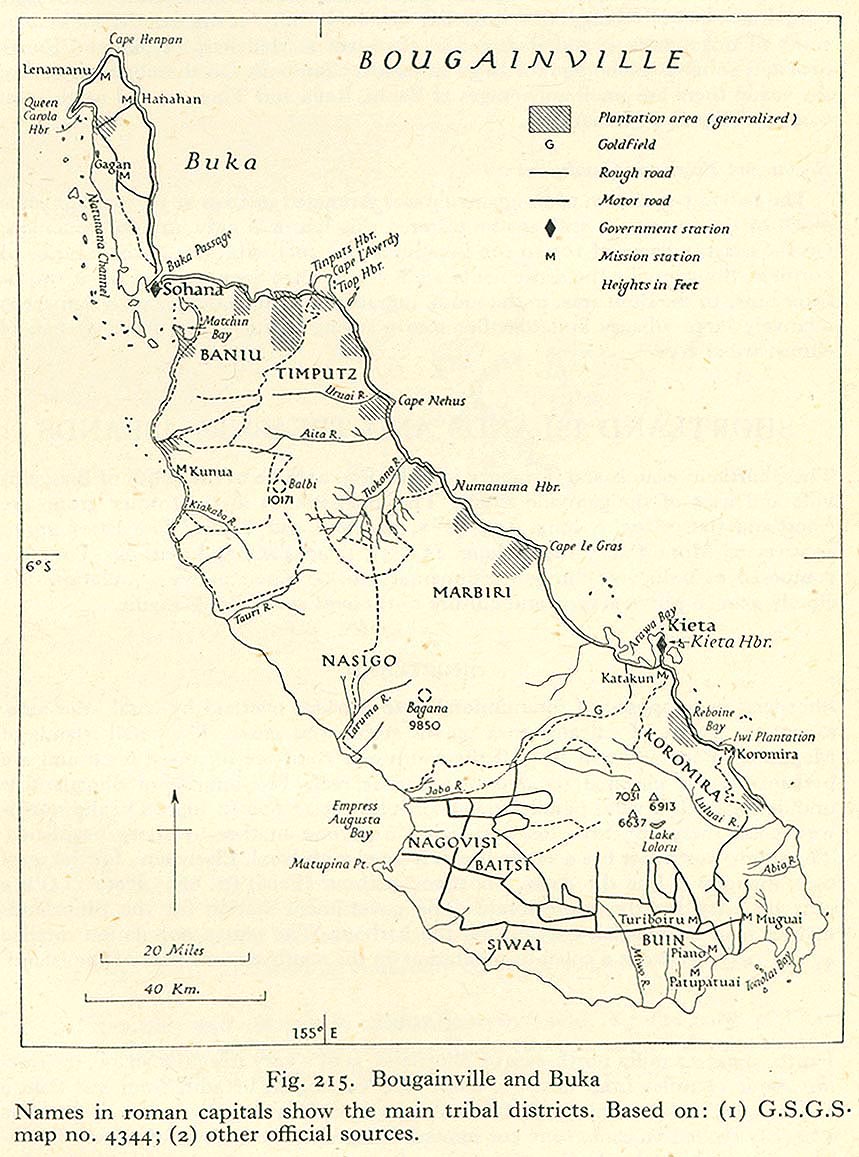
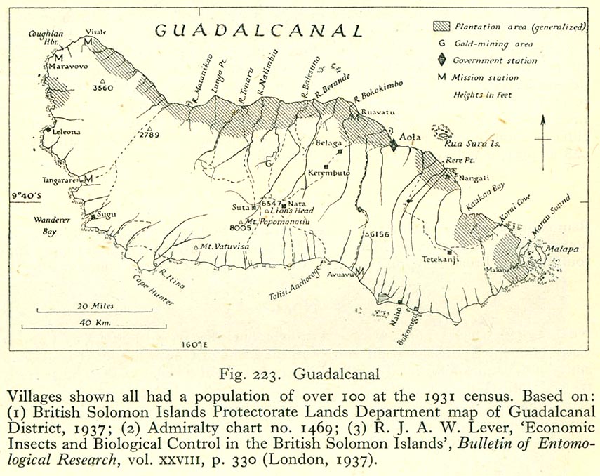
- Other islands
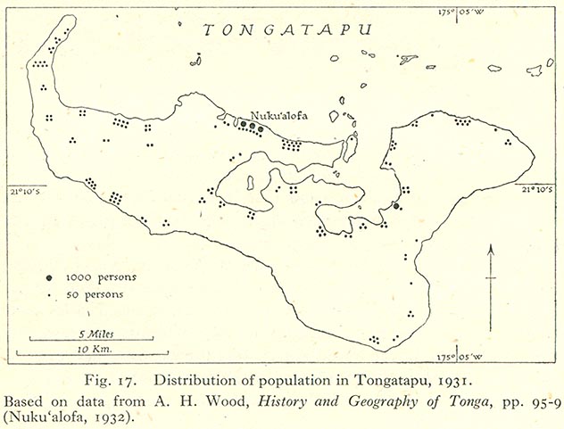
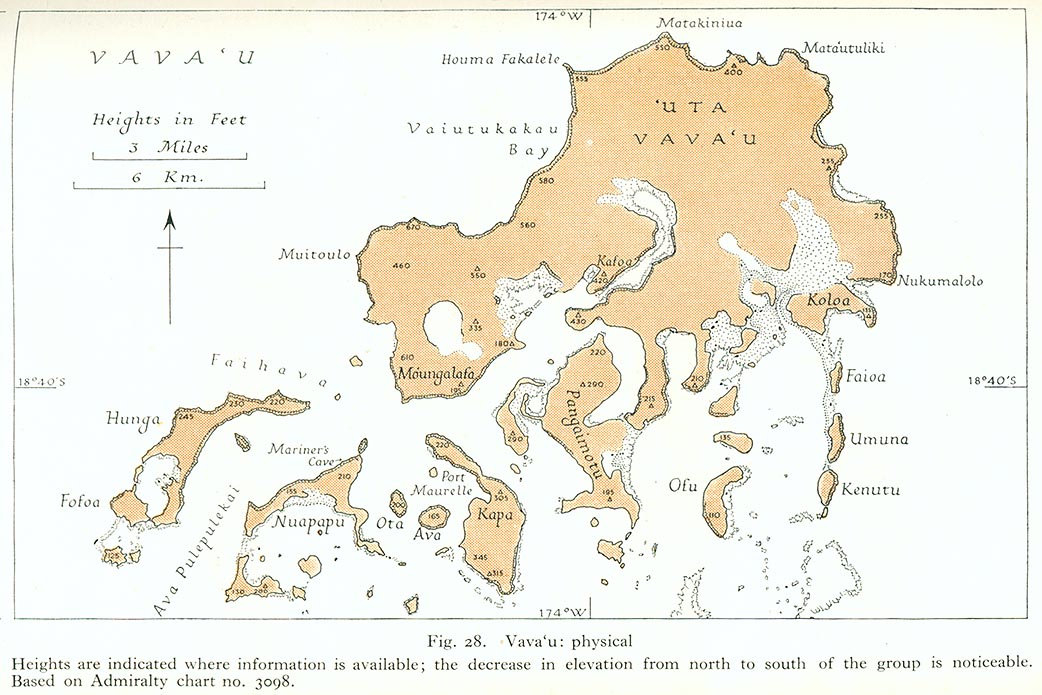
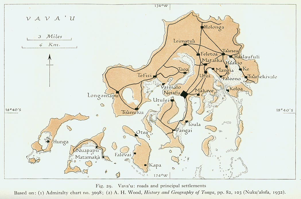
[edit] Tonga
- Maps
- Lifuka
- Tongatapu
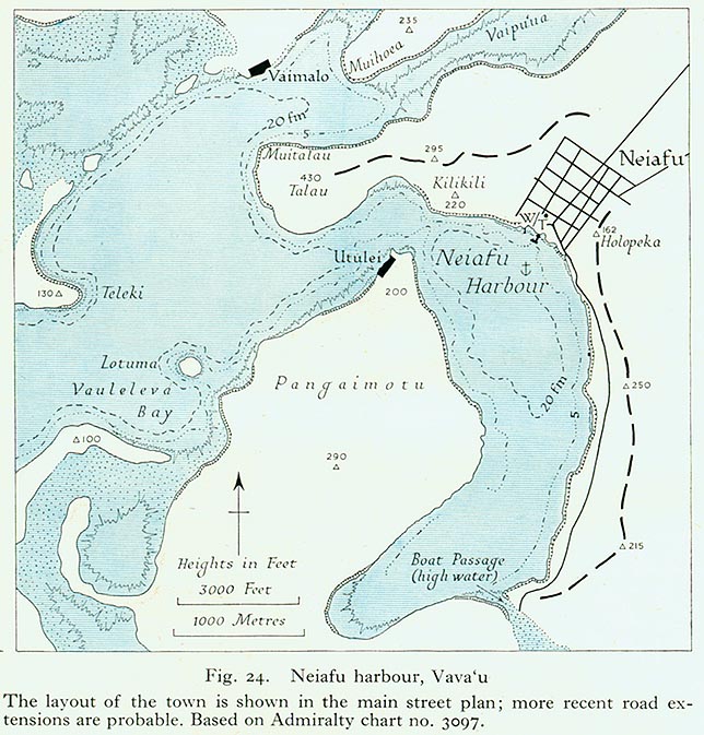
- Vava'u
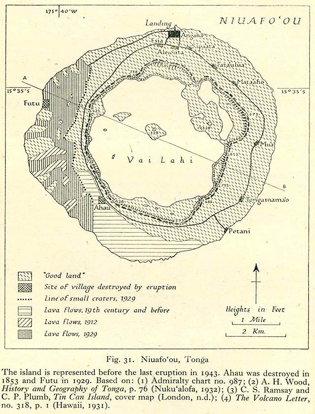
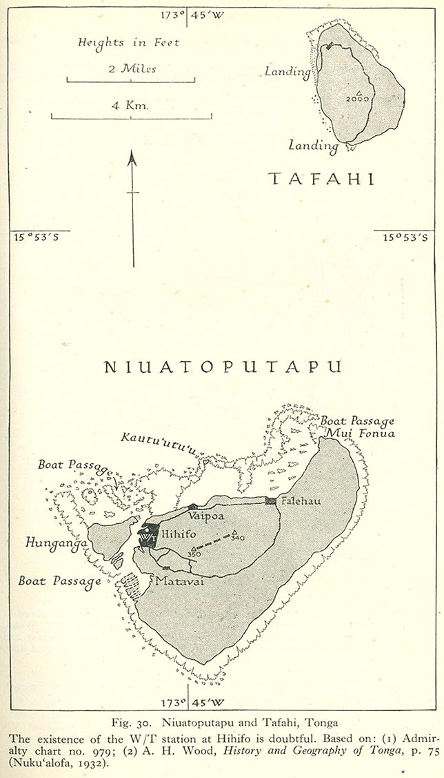
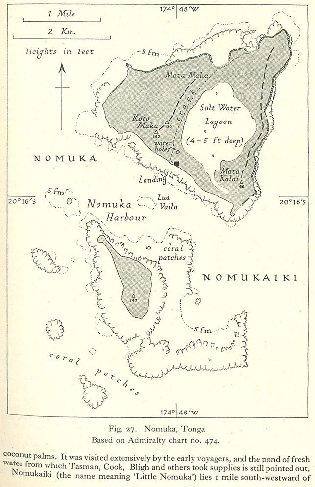
- Other islands
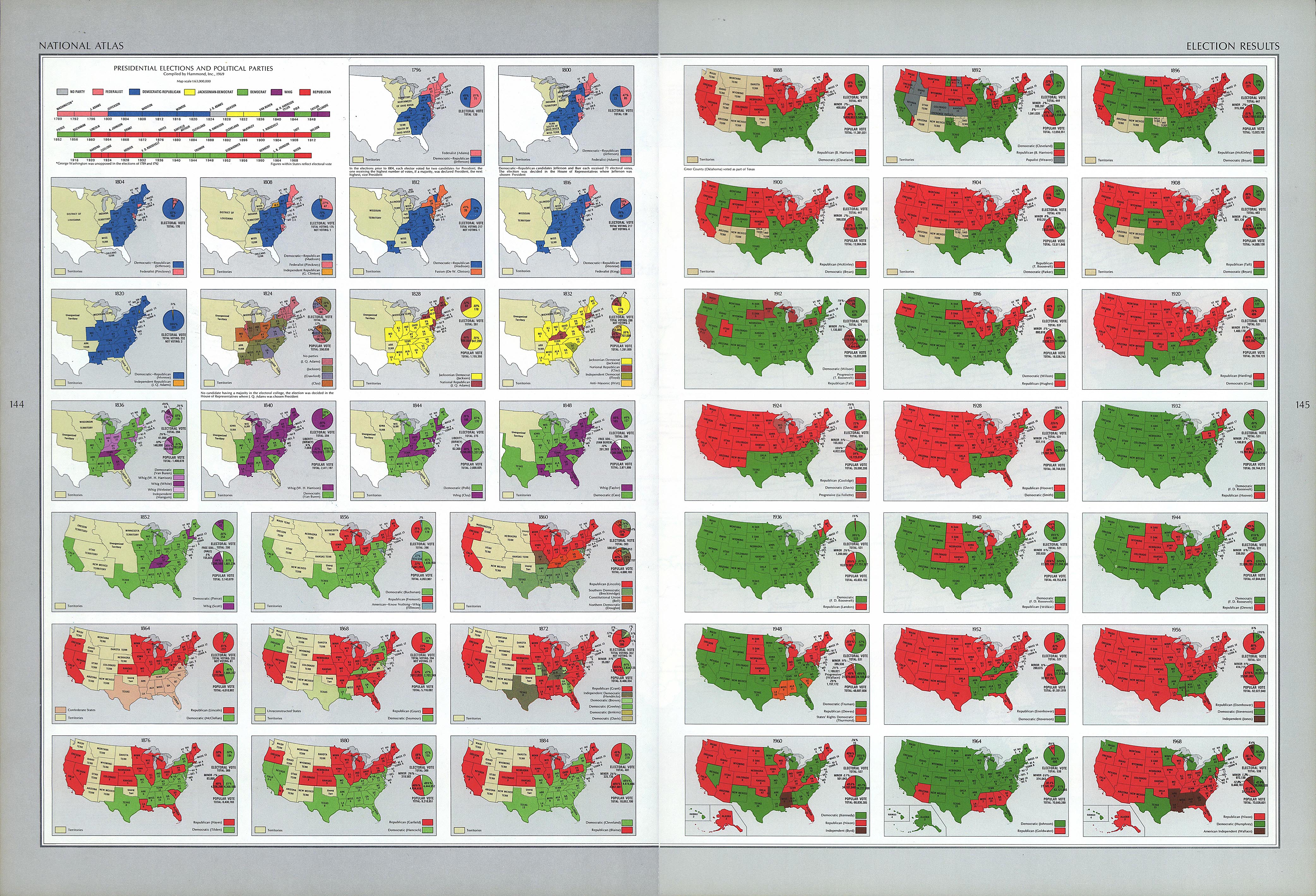
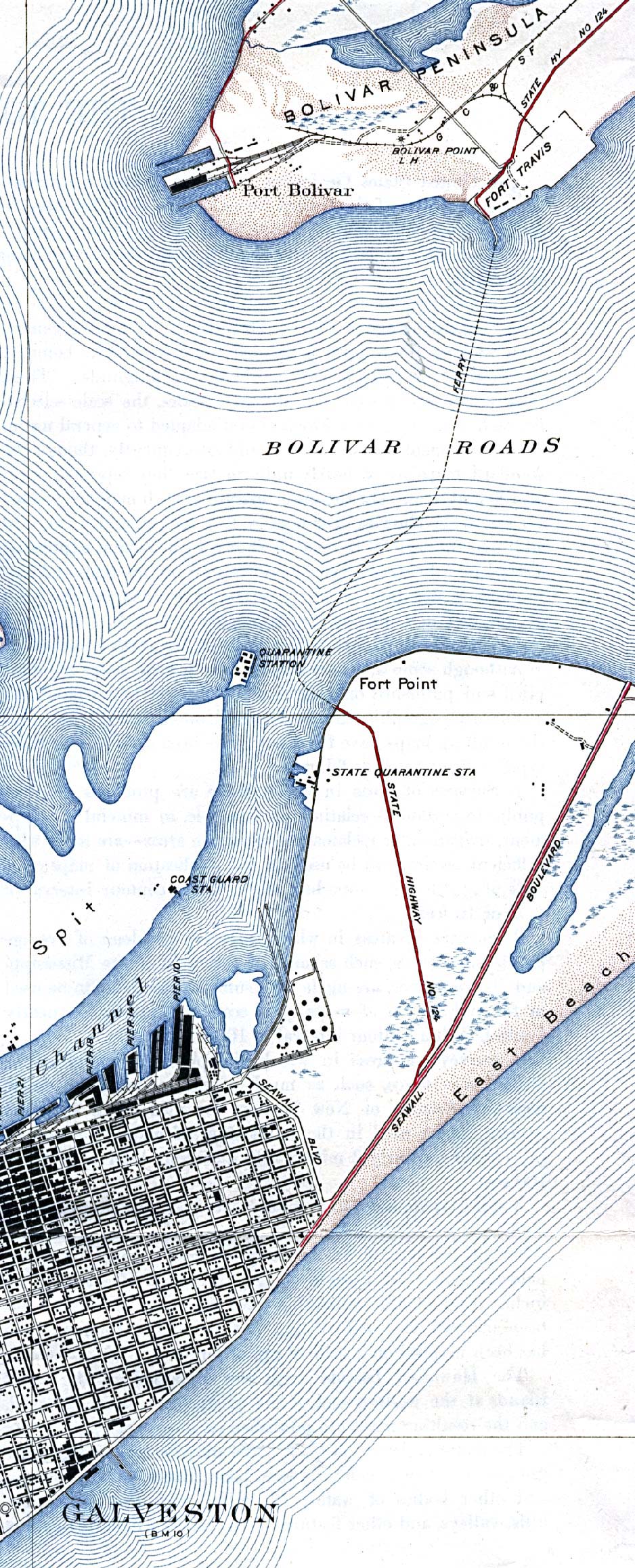
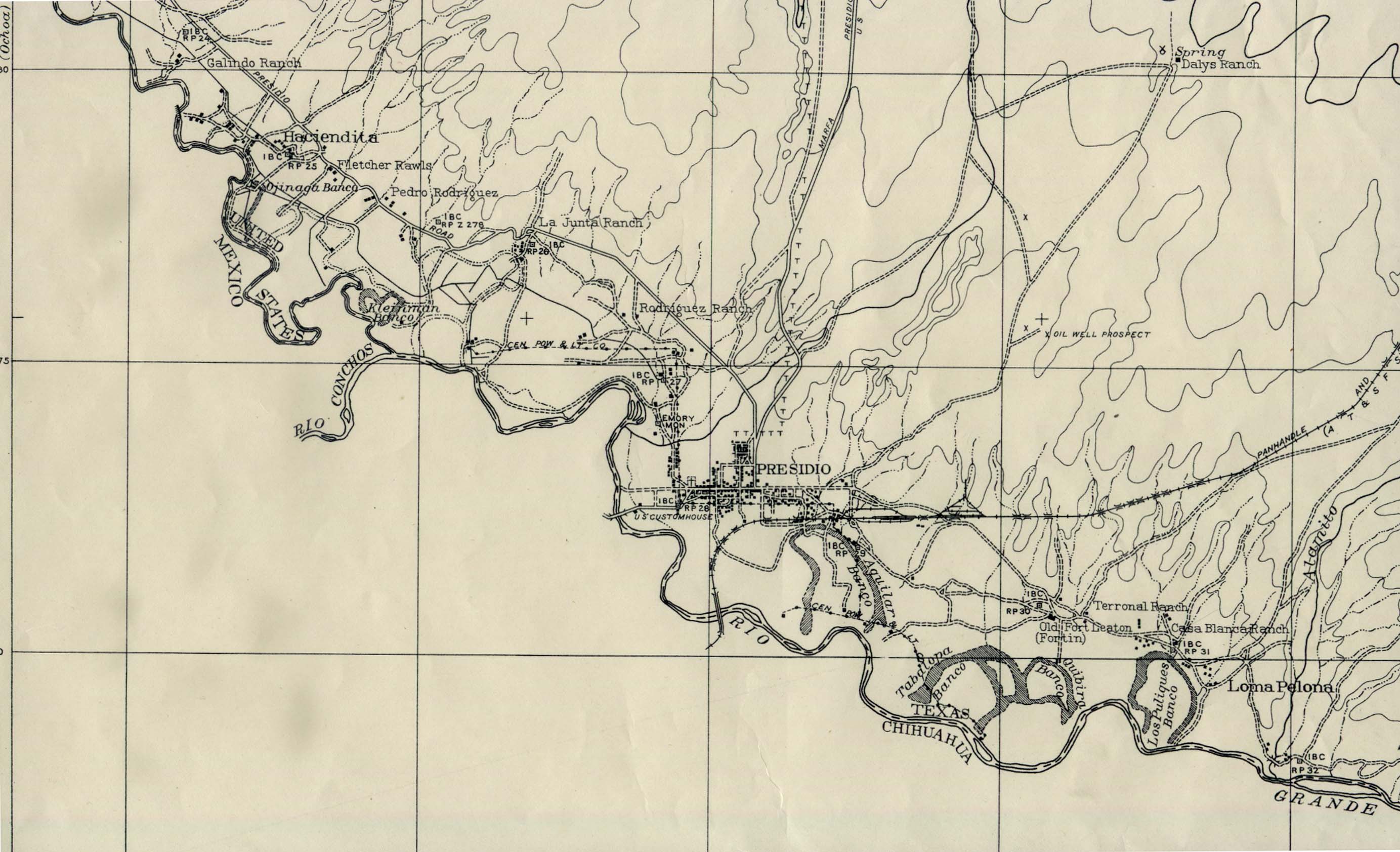
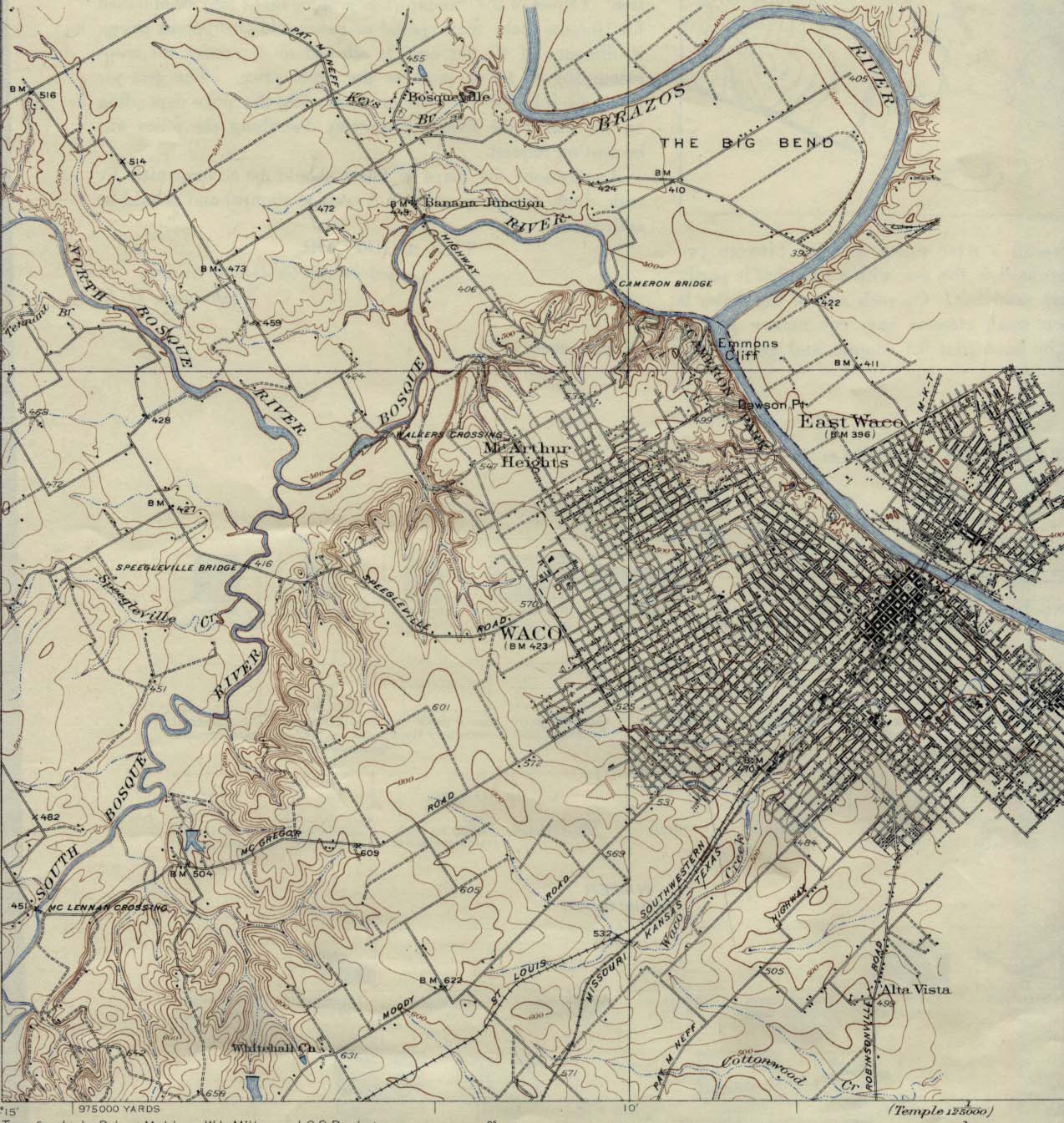
[edit] United States of America
- Maps
- Galveston
- Other cities in Texas

