User:Necrothesp/Resources/1800s Resources
From Wikipedia, the free encyclopedia
[edit] International
- Maps
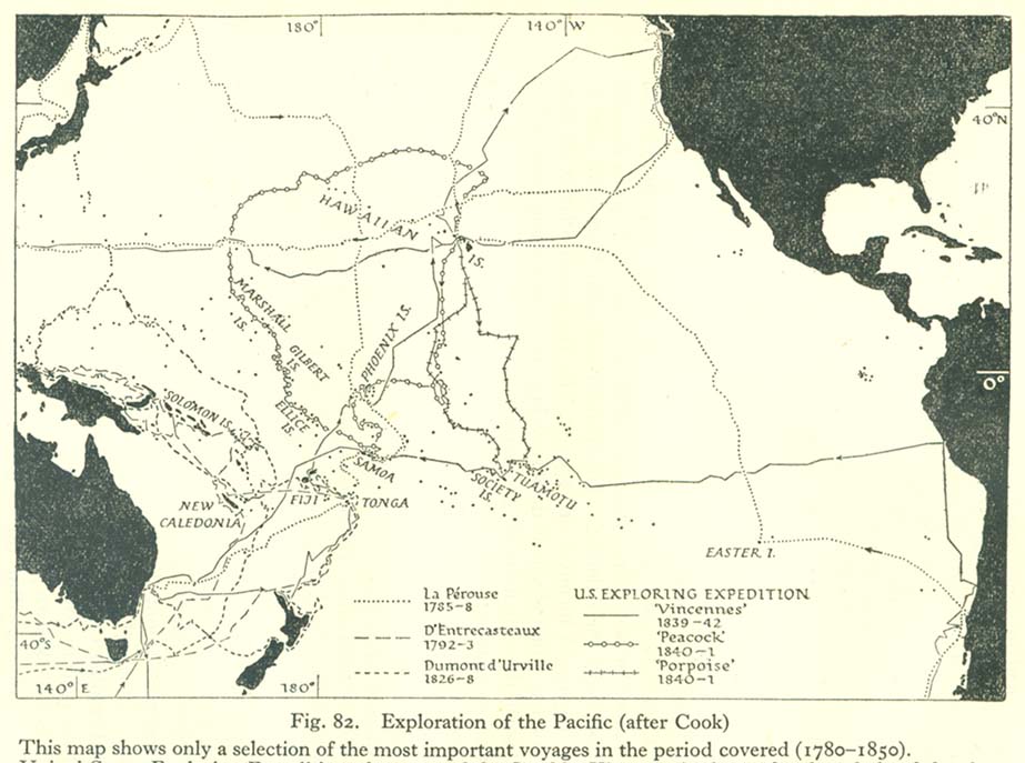
- Map of explorations of the Pacific, 1785–1842
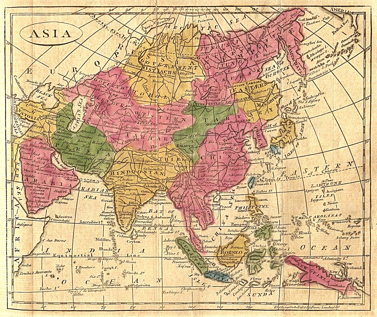
- Map of Asia, 1808
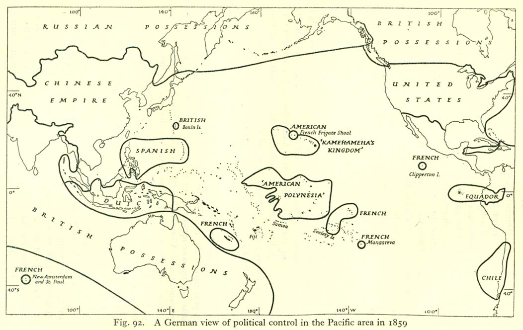
- Political map of the Pacific, 1859
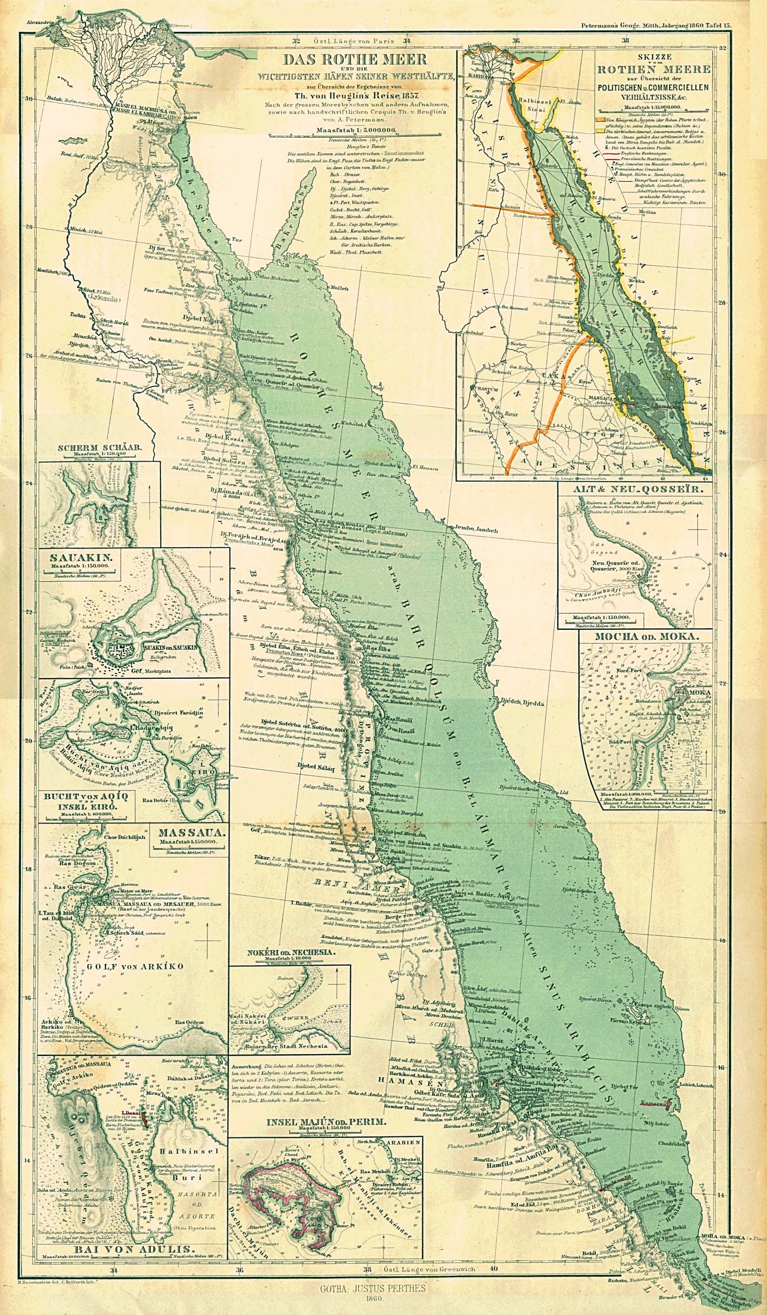
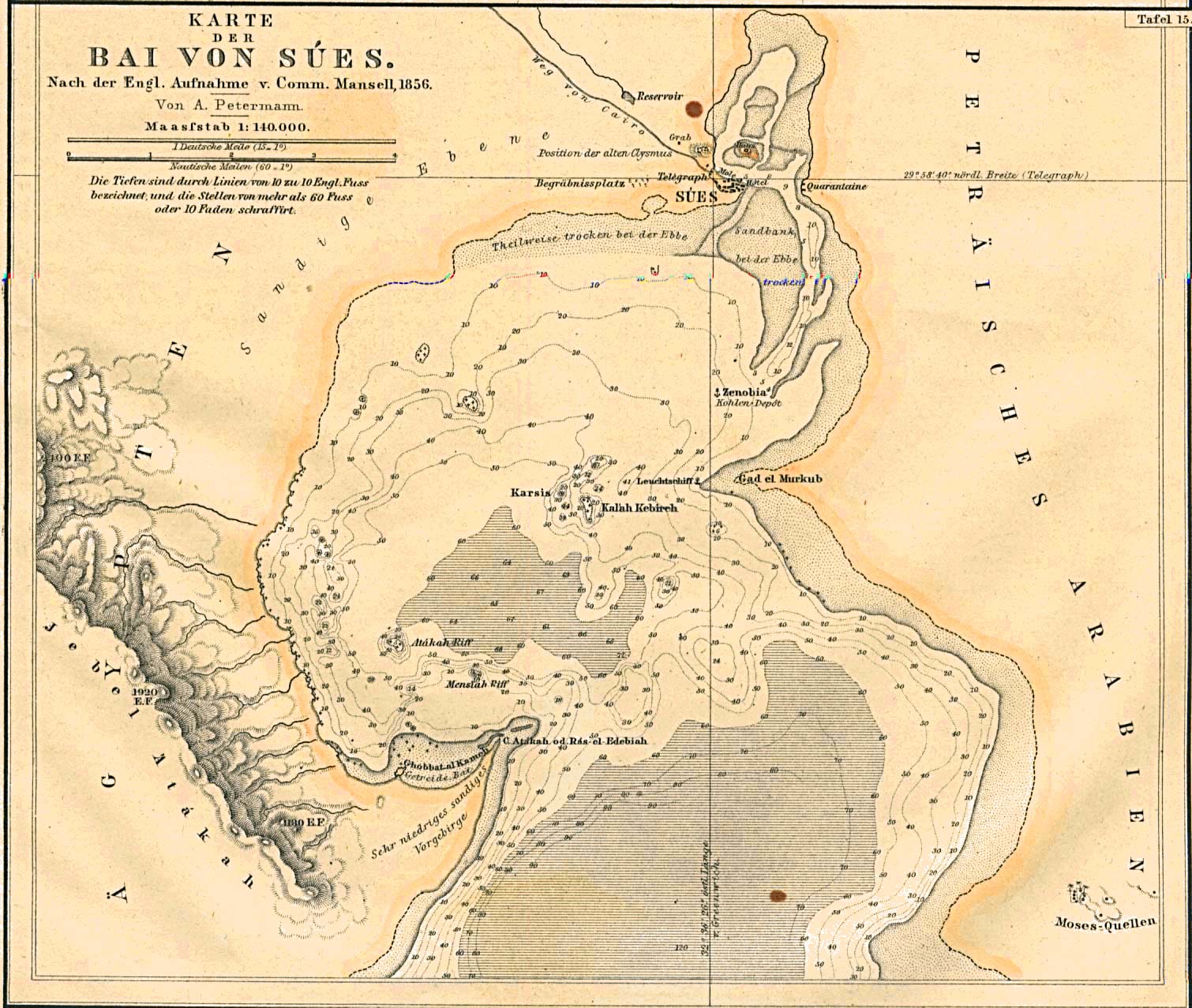
- Map of the Red Sea coast, 1860
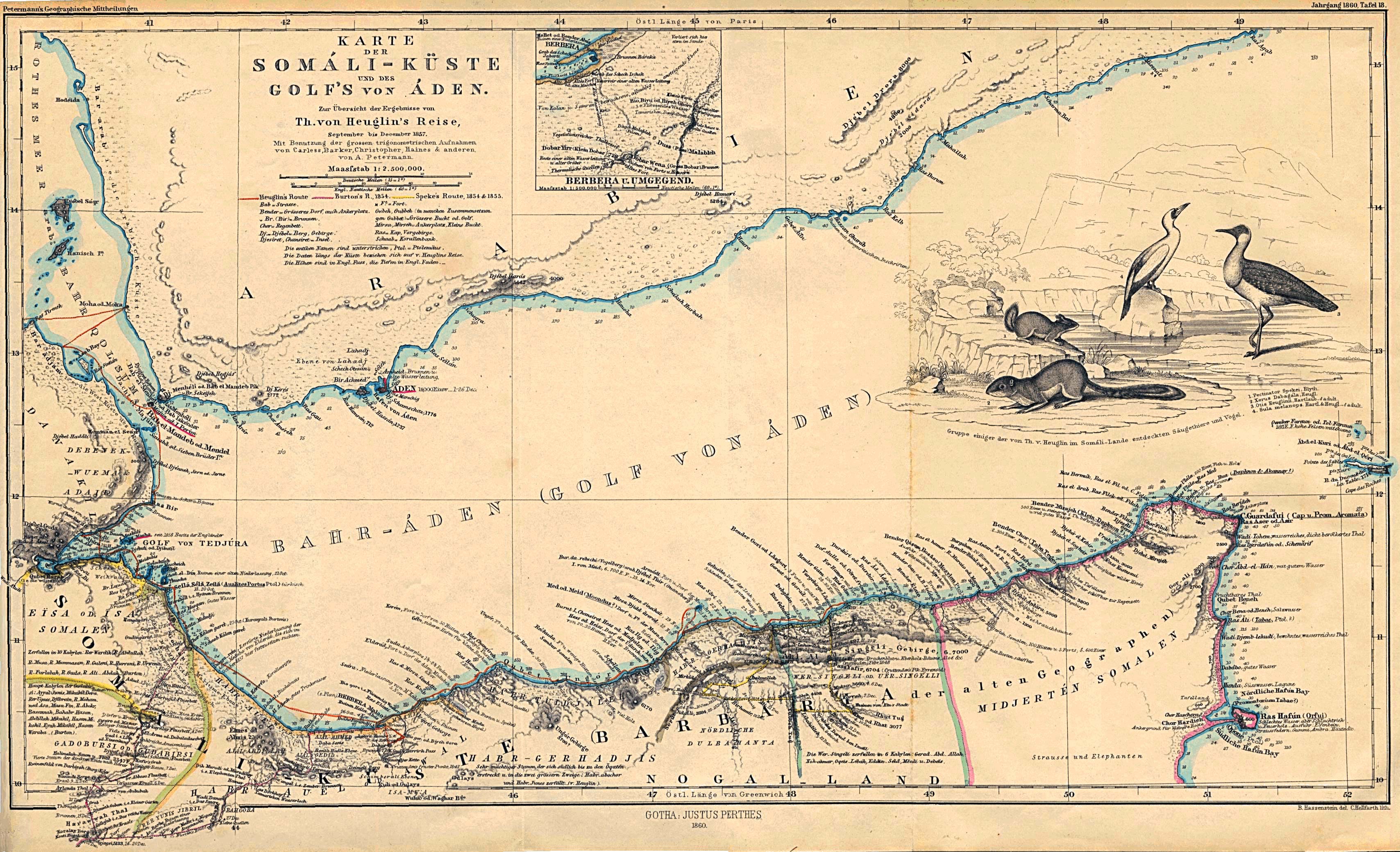
- Map of the Somali Coast and the Gulf of Aden, 1860
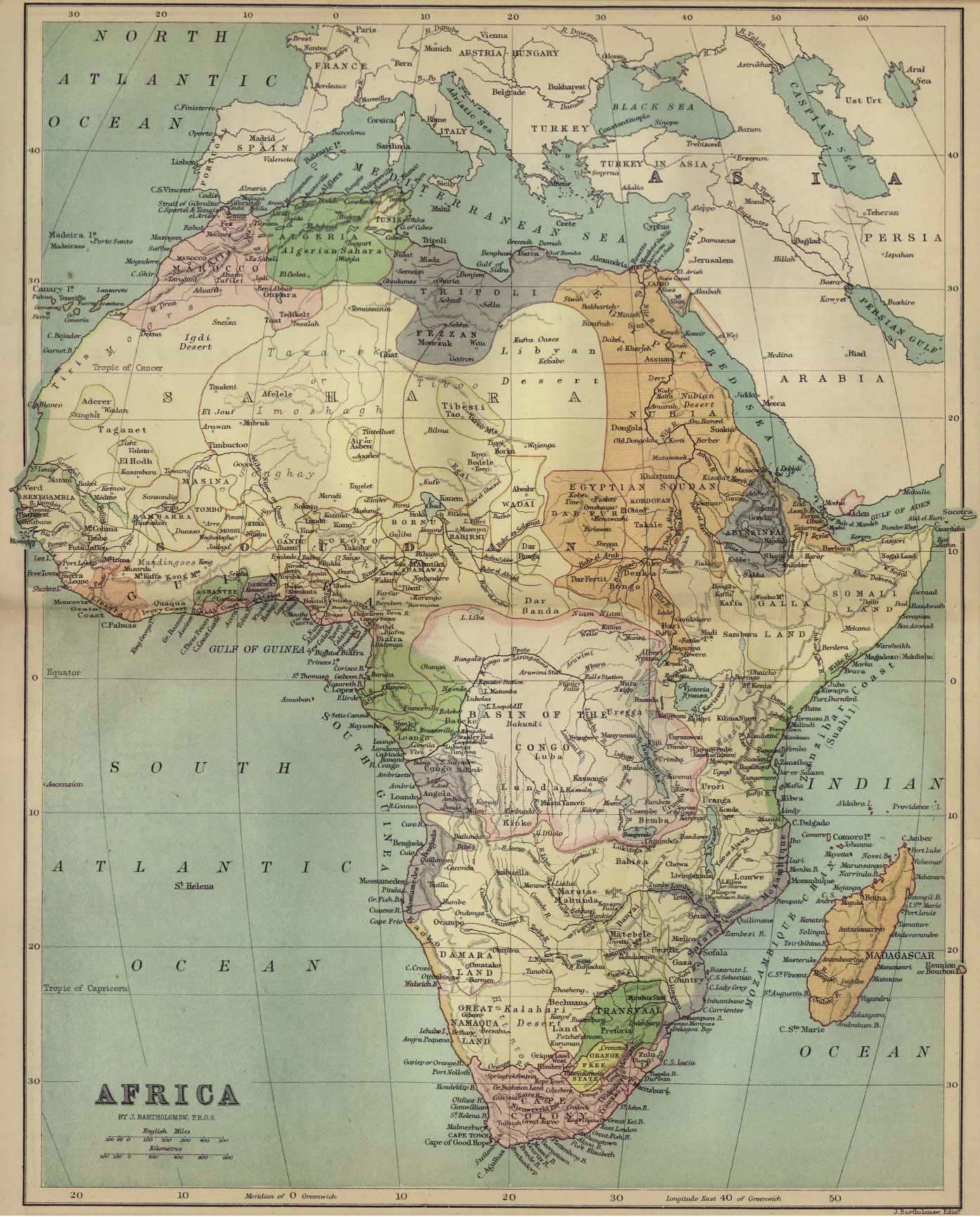
- Political map of Africa, 1885
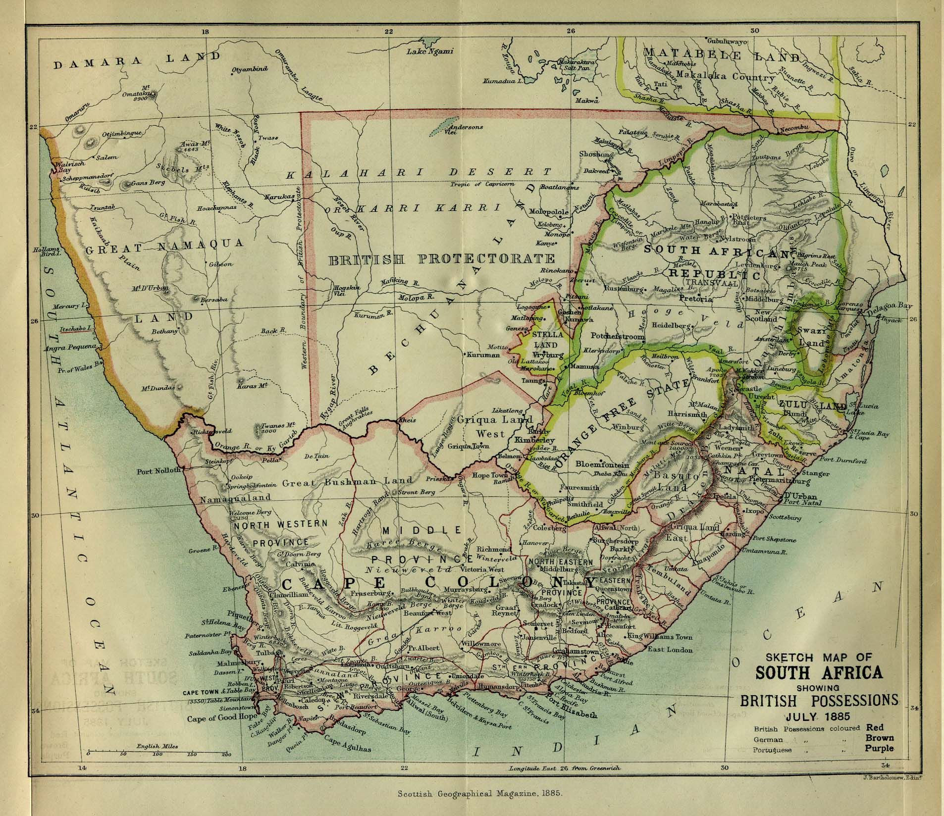
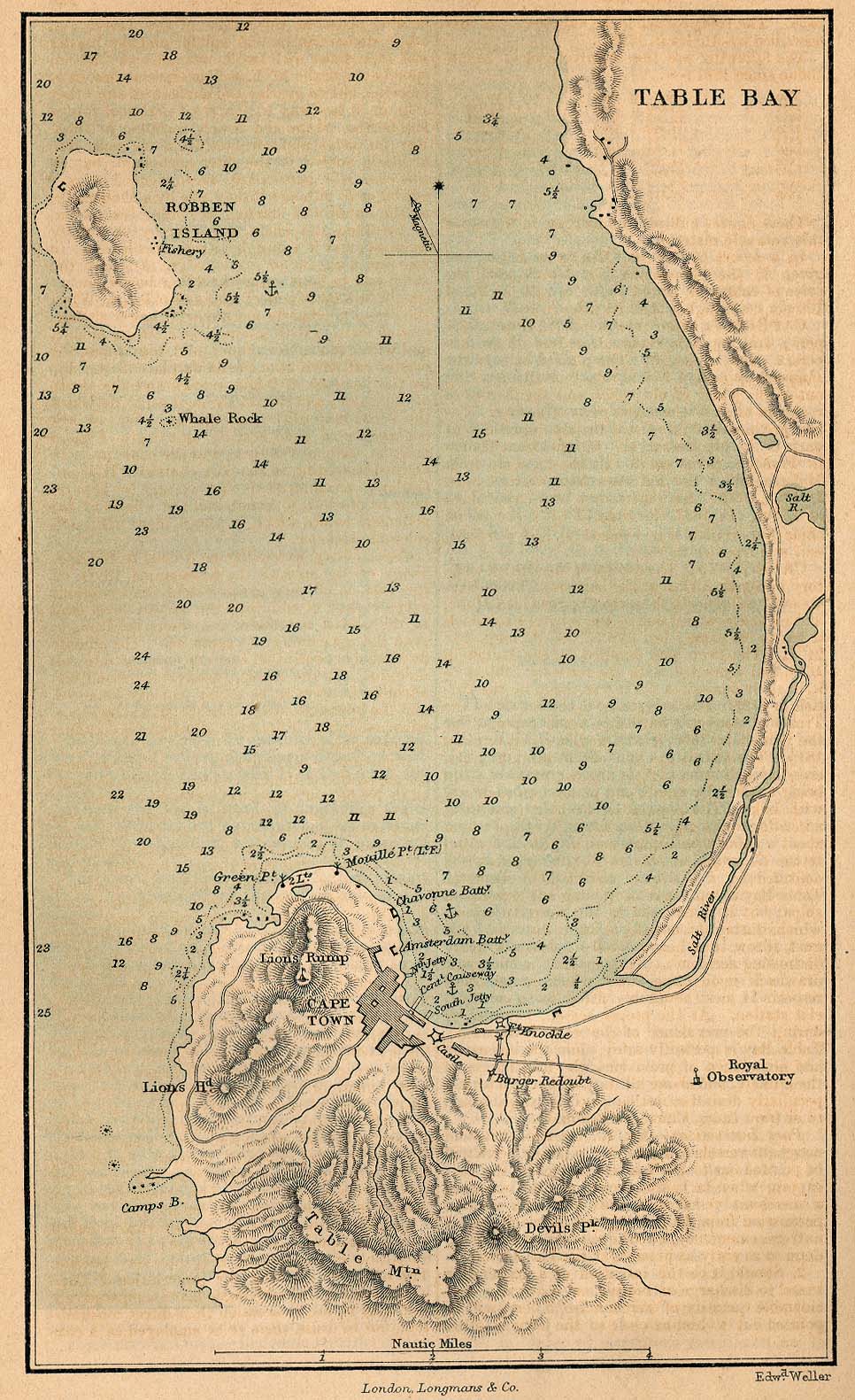
- Political map of Southern Africa, 1885
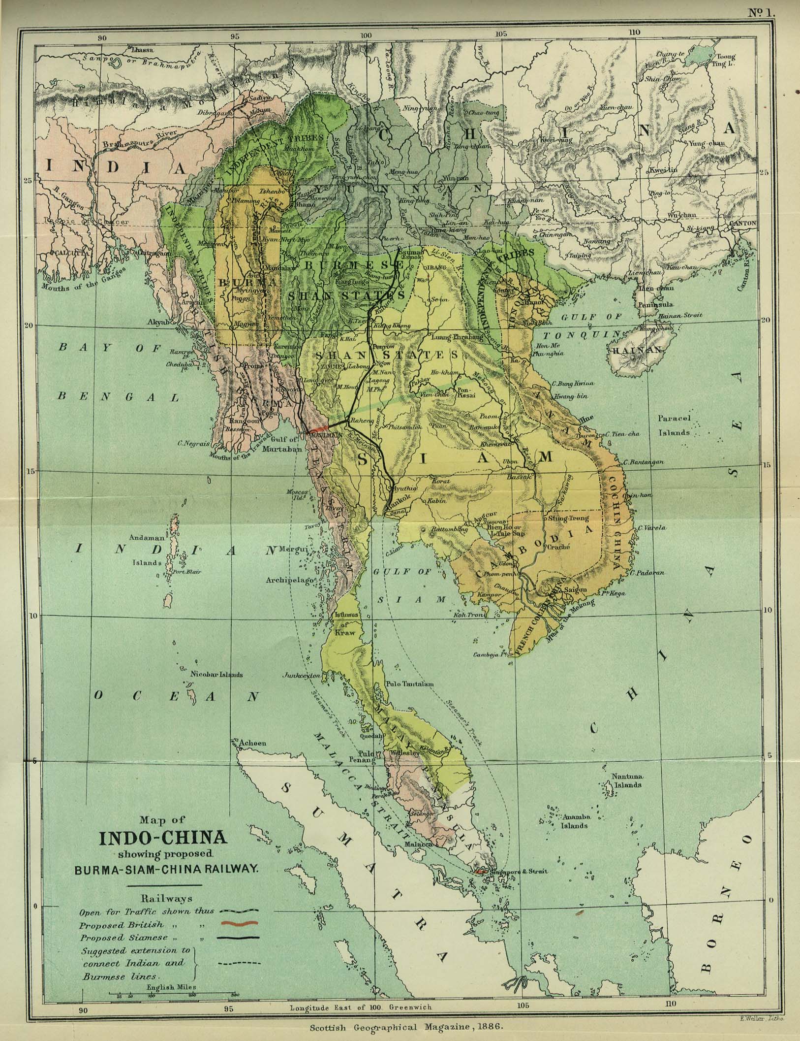
- Map of Indo-China, 1886
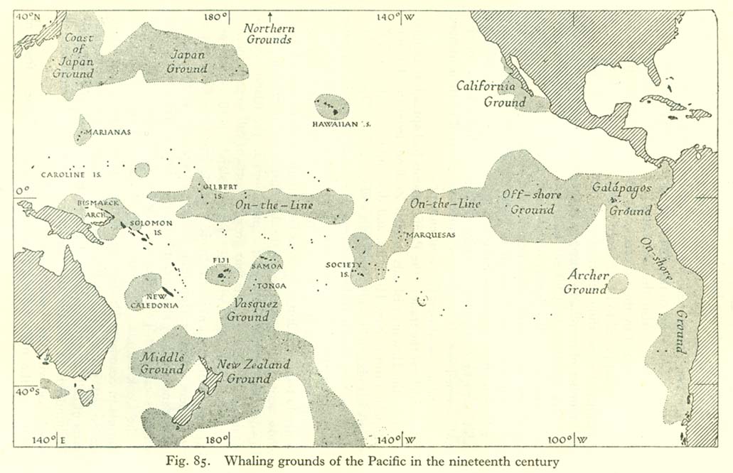
- Map of whaling grounds in the Pacific
- Map of nationality of discovery of the Central Equatorial Islands
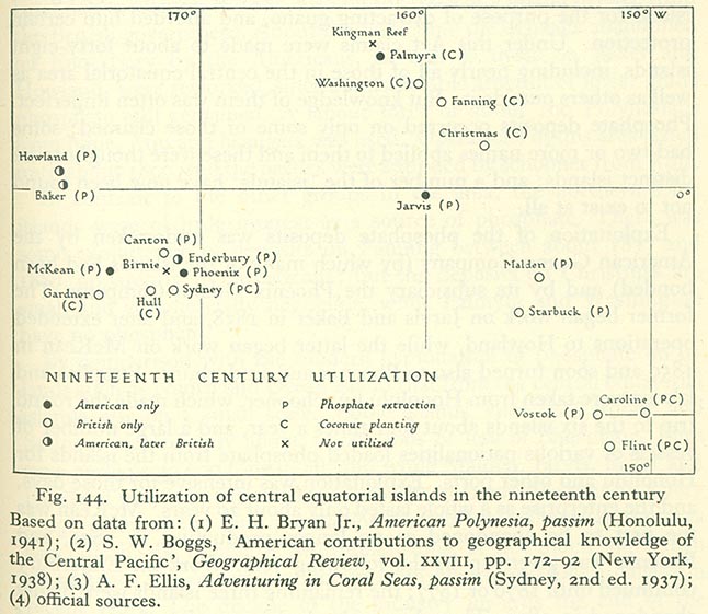
- Map of utilisation of the Central Equatorial Islands in the 19th century
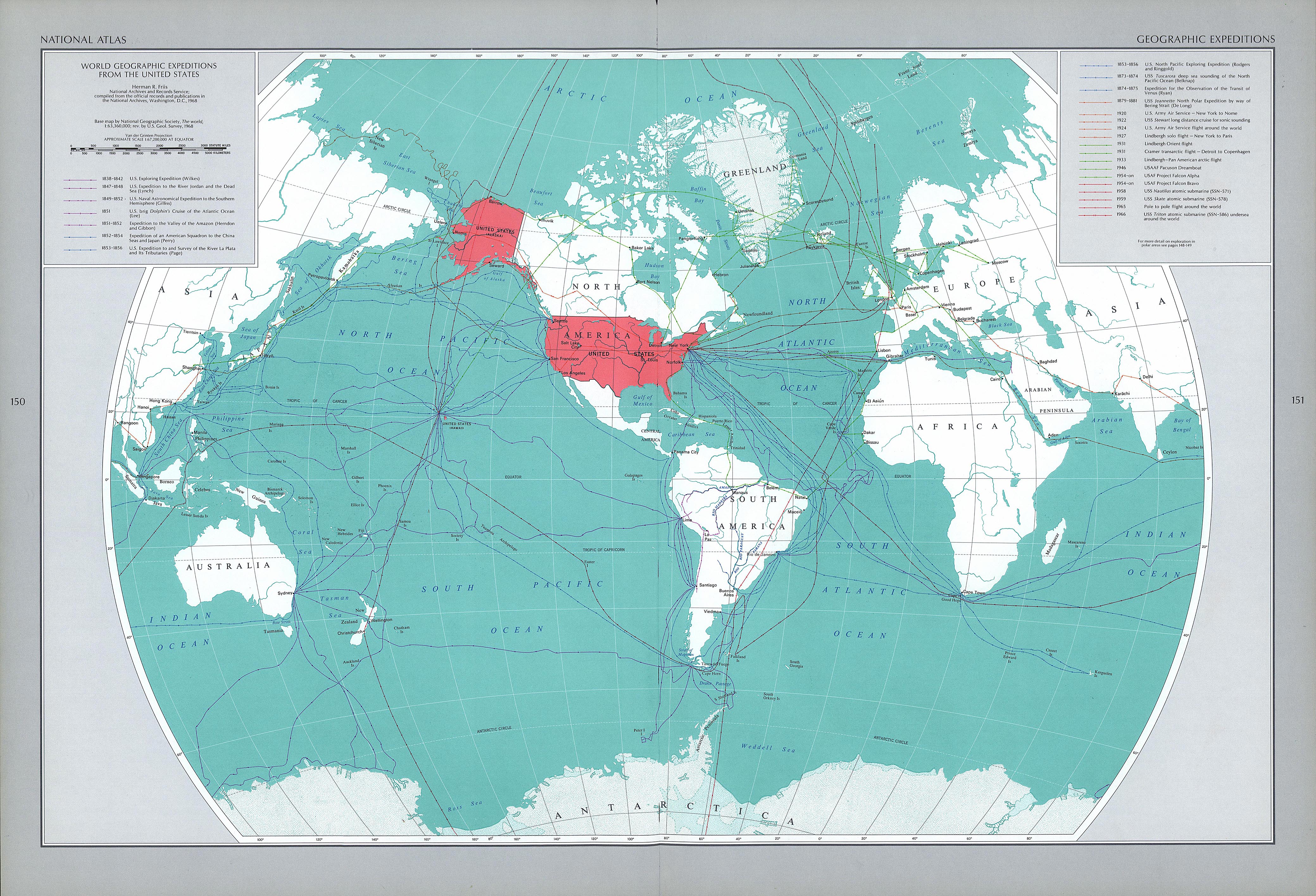
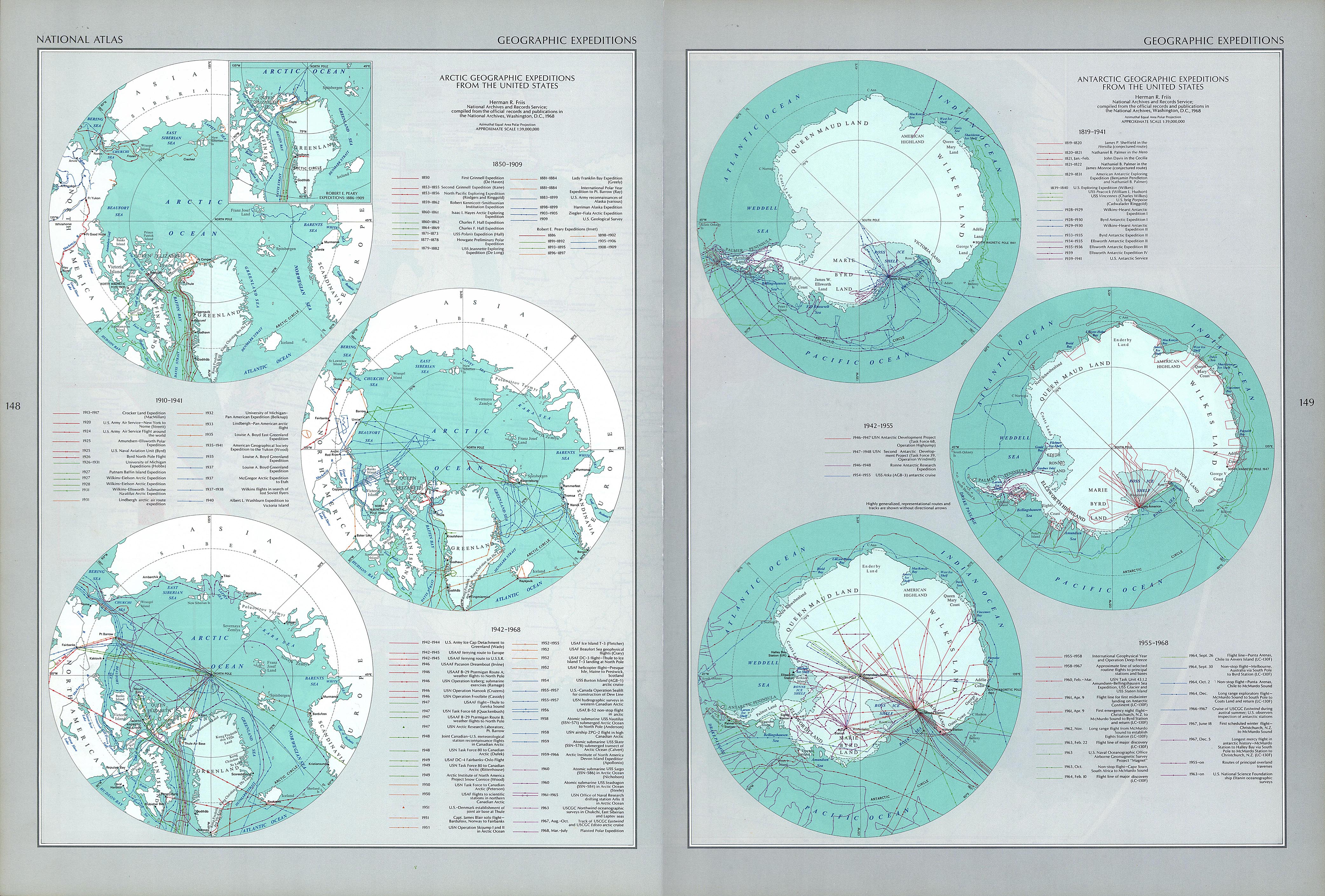
- Map of principal American geographic expeditions, 1838–1966
- Political map of Europe, 1808
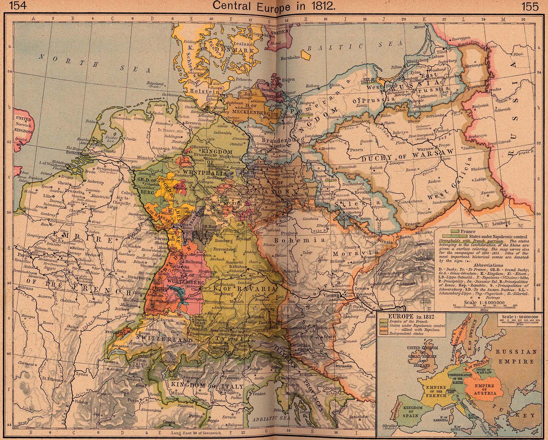
- Political map of Central Europe, 1812
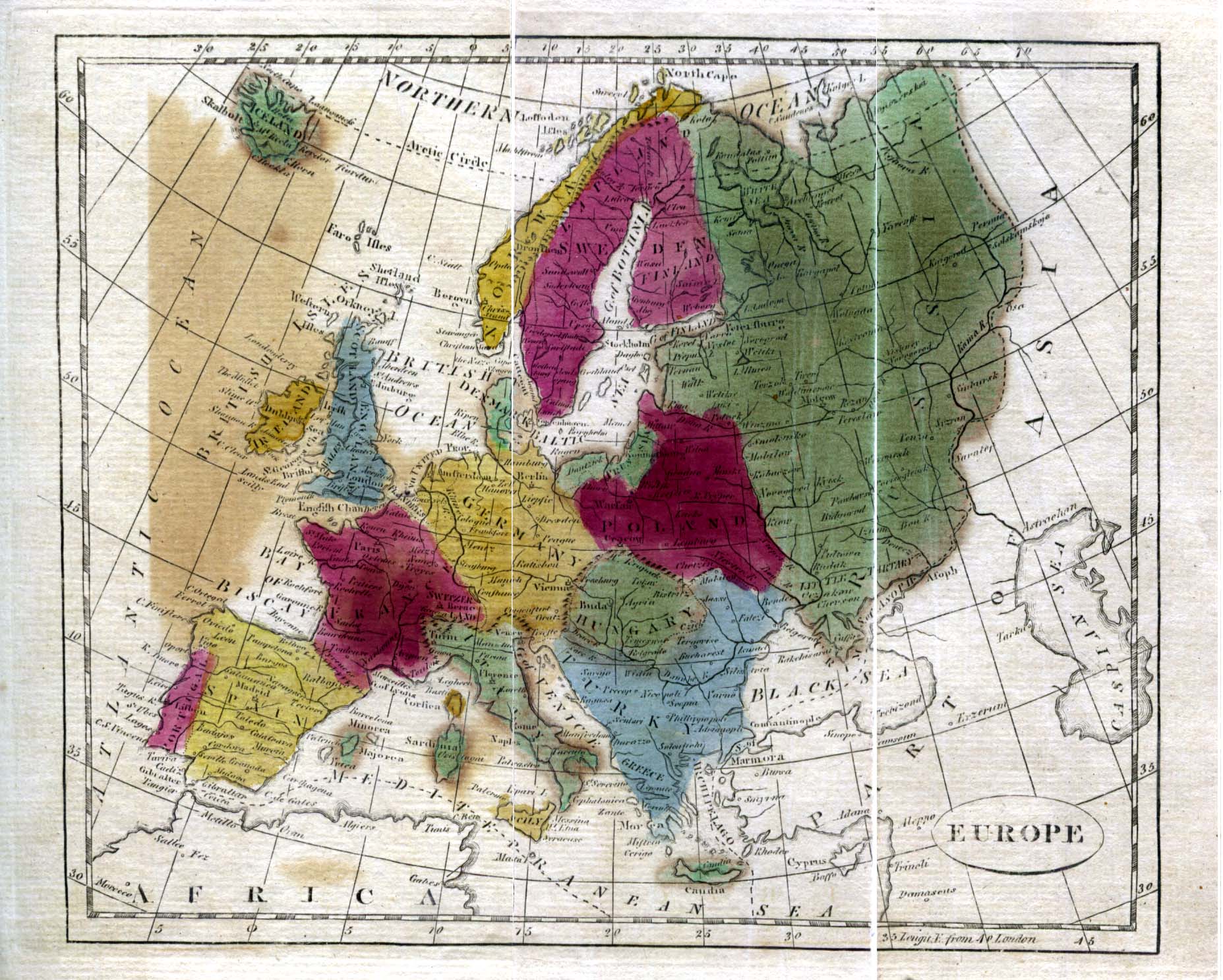
- Political map of Europe, 1815
- Map of treaty adjustments in Europe, 1814–1815
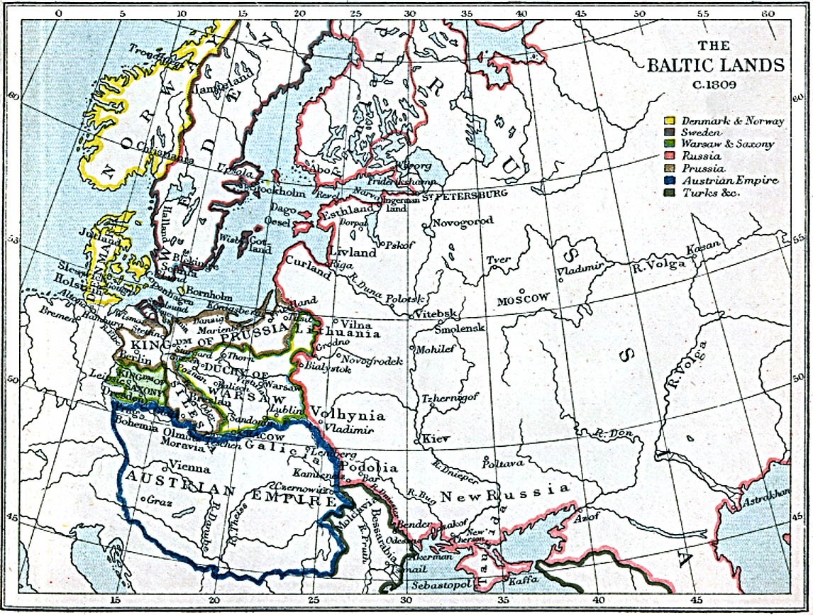
- Map of the lands surrounding the Baltic, 1809
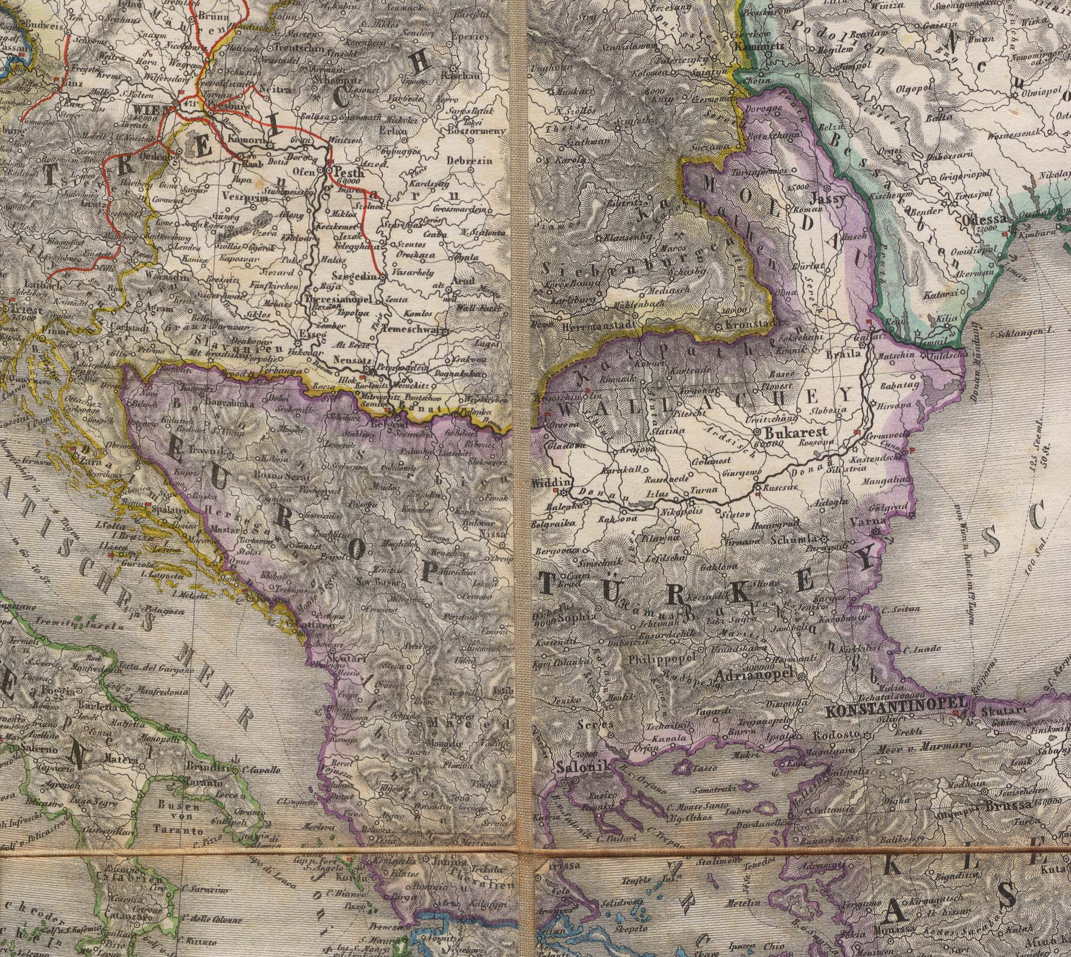
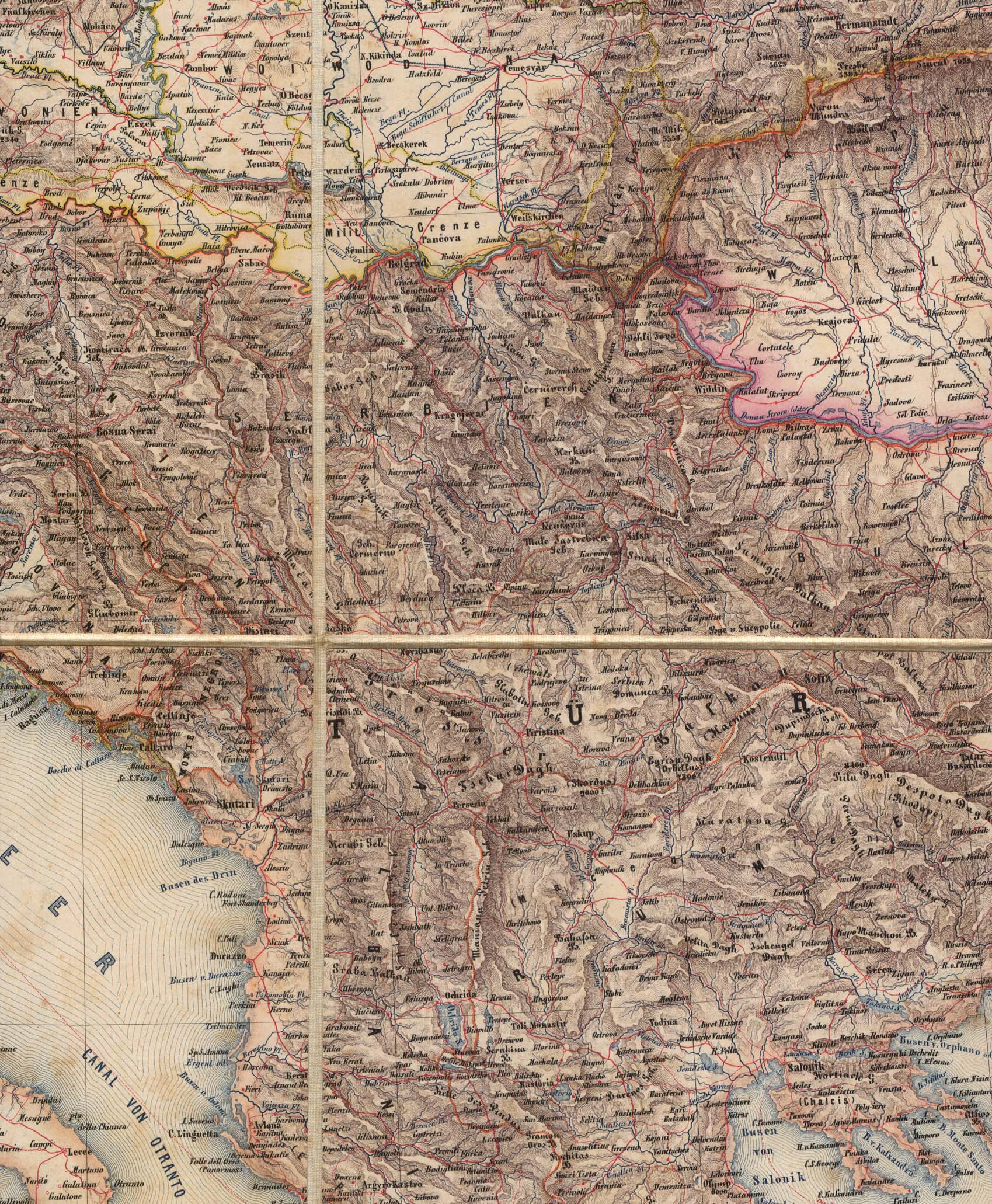
- Map of the Balkans, 1856
- Map of the Balkans, 1859
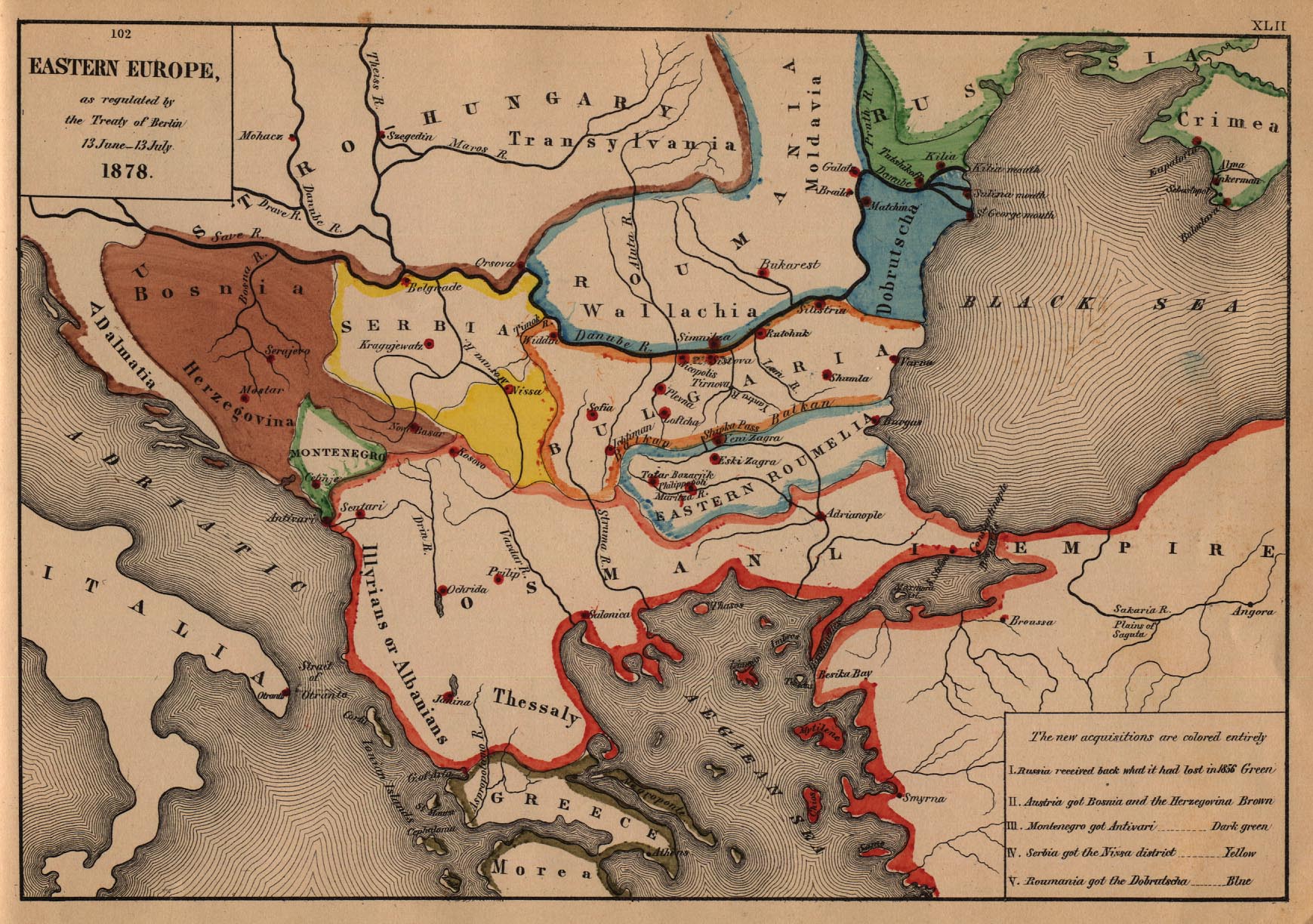
- Map of Eastern Europe, 1878
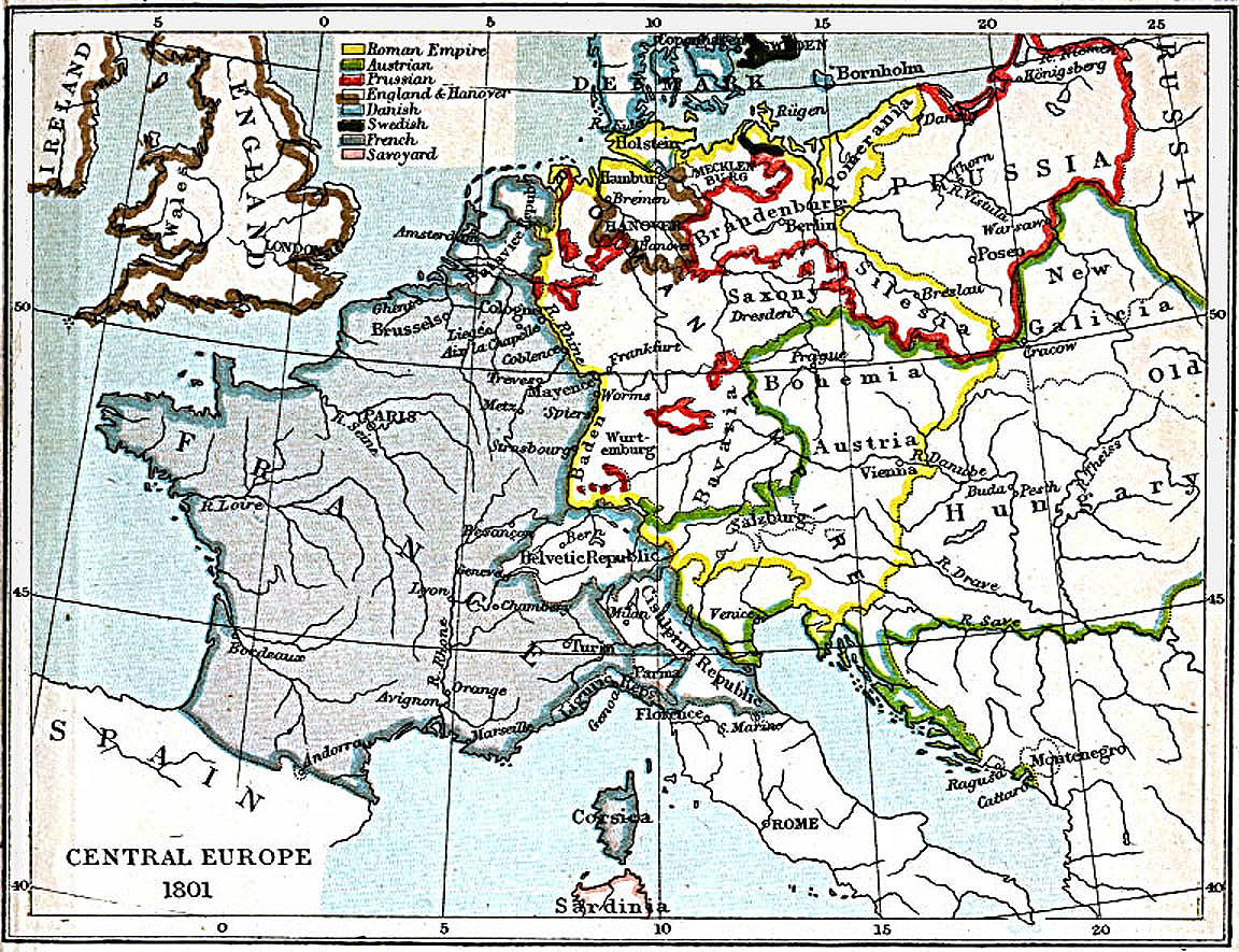
- Map of Central Europe, 1801
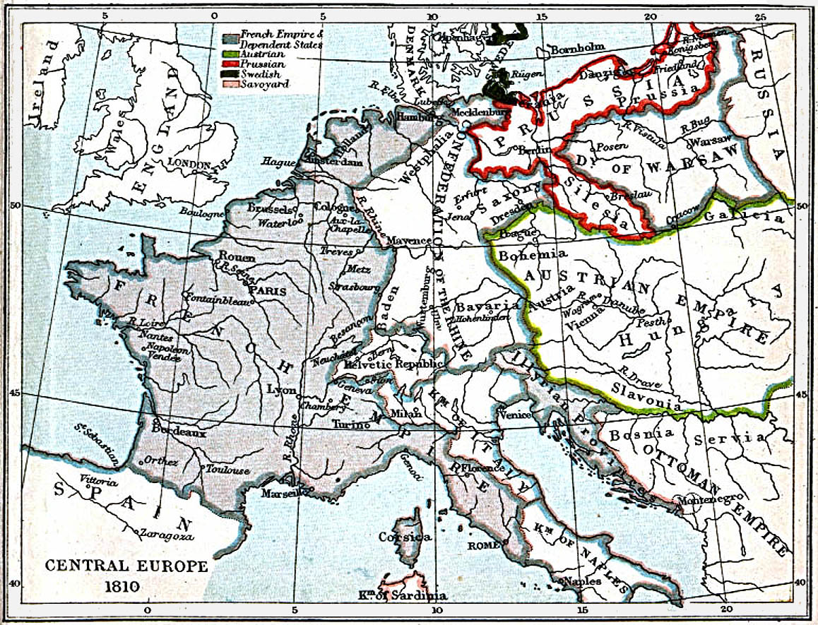
- Map of Central Europe, 1810
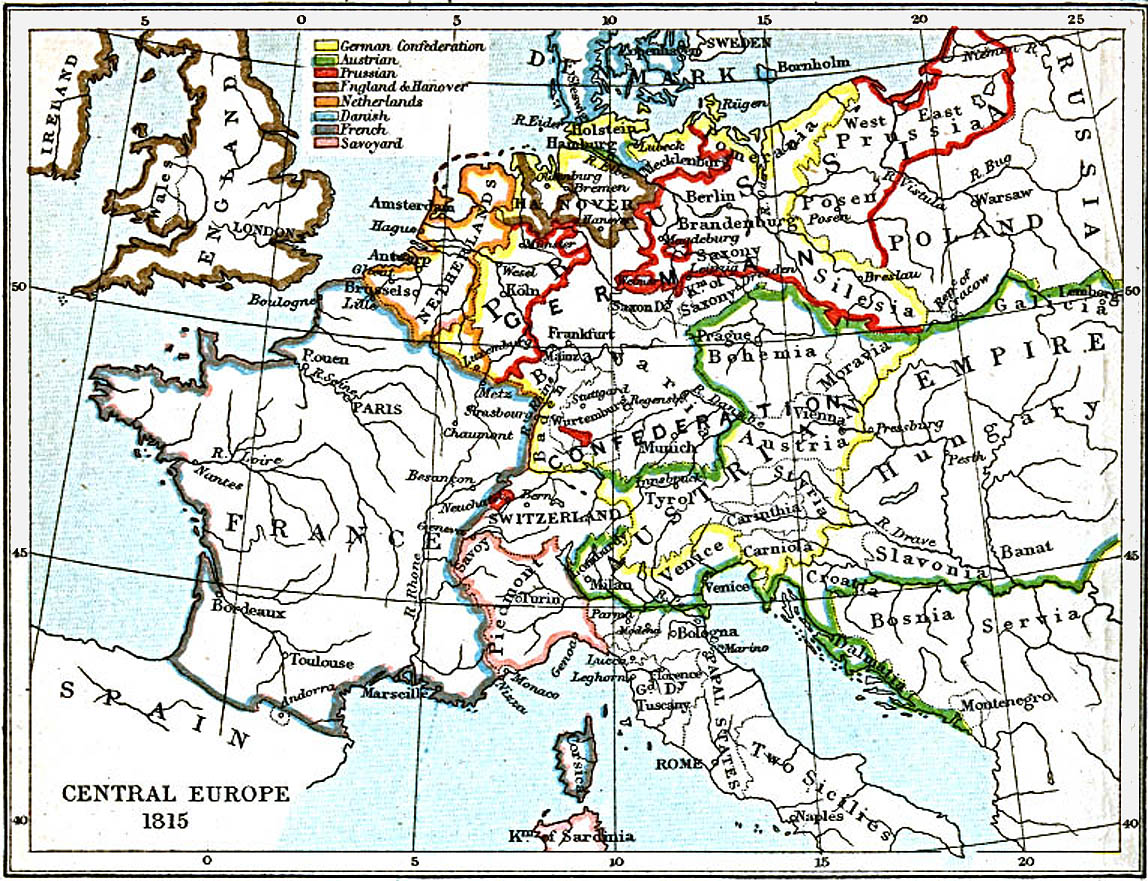
- Map of Central Europe, 1815
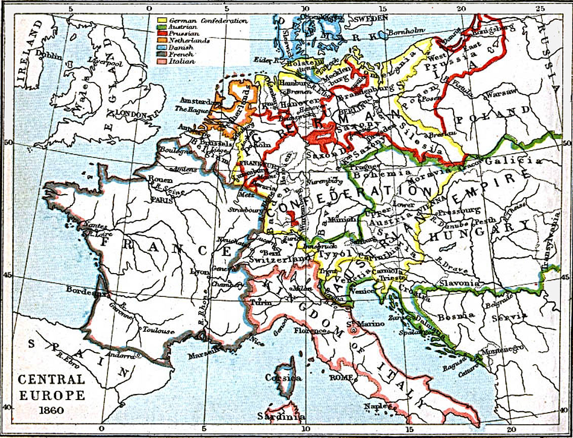
- Map of Central Europe, 1860
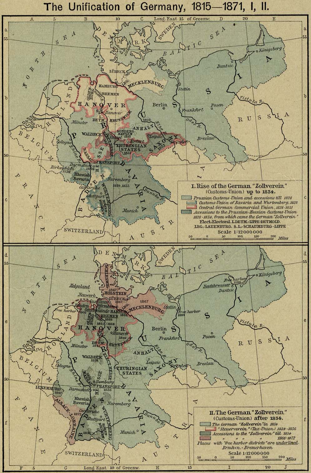
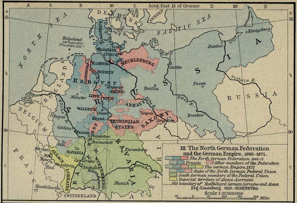
- Map of Central Europe, 1871
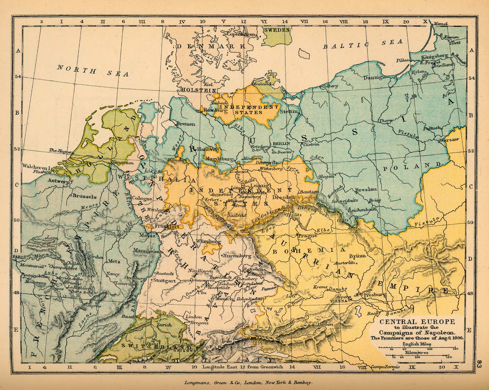
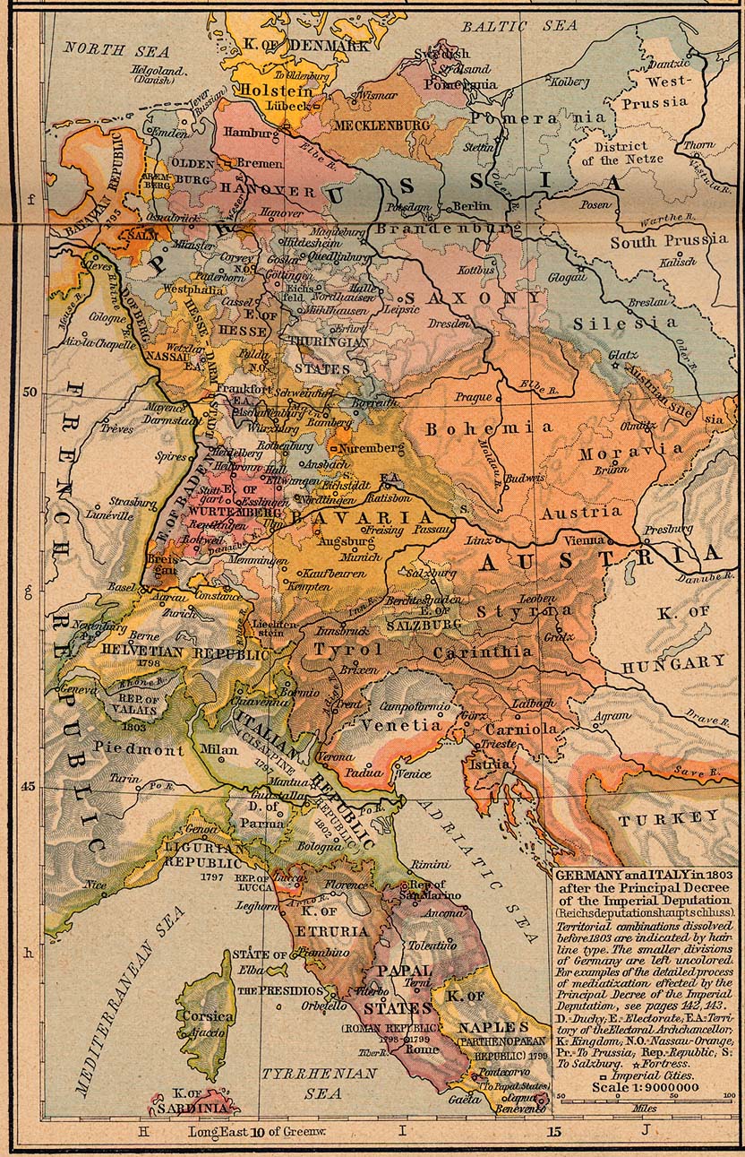
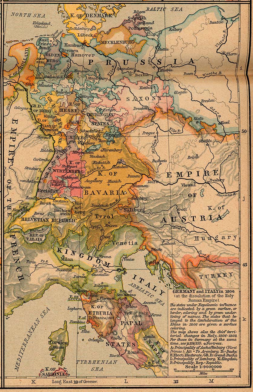
- Map of Central Europe, 1806
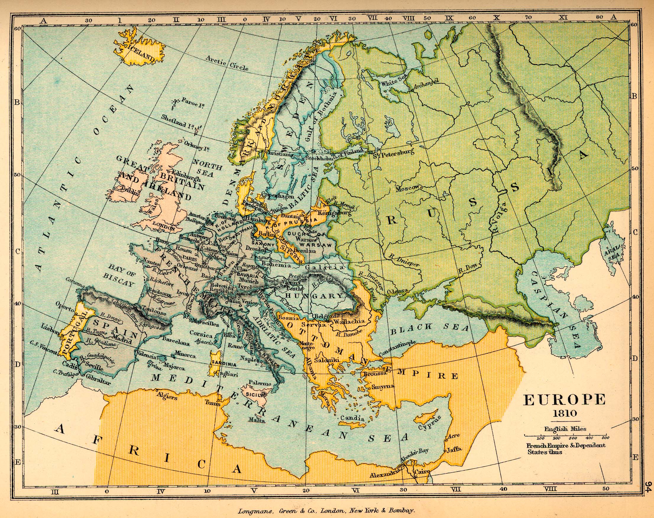
- Map of Europe, 1810
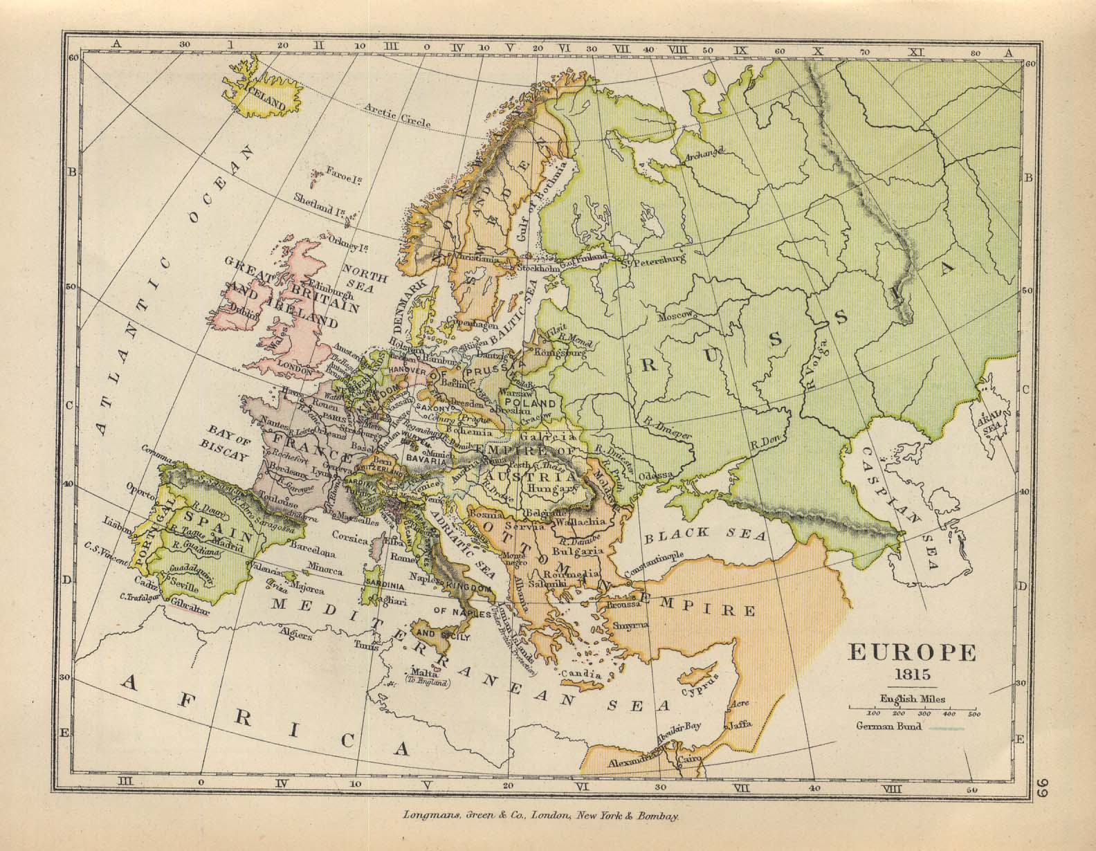
- Map of Europe, 1815
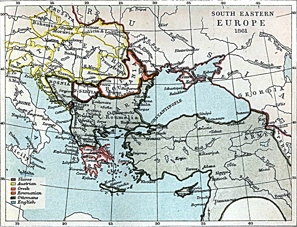
- Map of South-Eastern Europe and Asia Minor, 1861
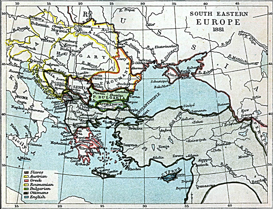
- Map of South-Eastern Europe and Asia Minor, 1881
- Map of the Red Sea, 1860
- Map of the Somali Coast and the Gulf of Aden, 1860
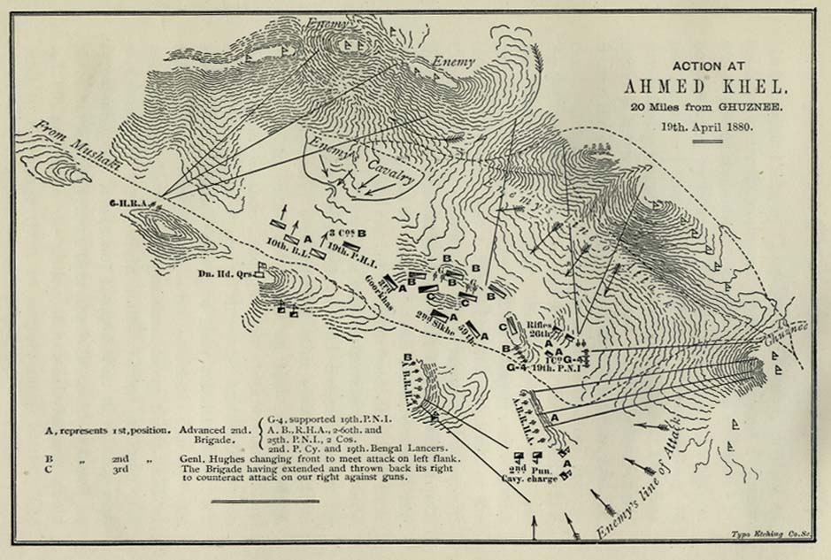
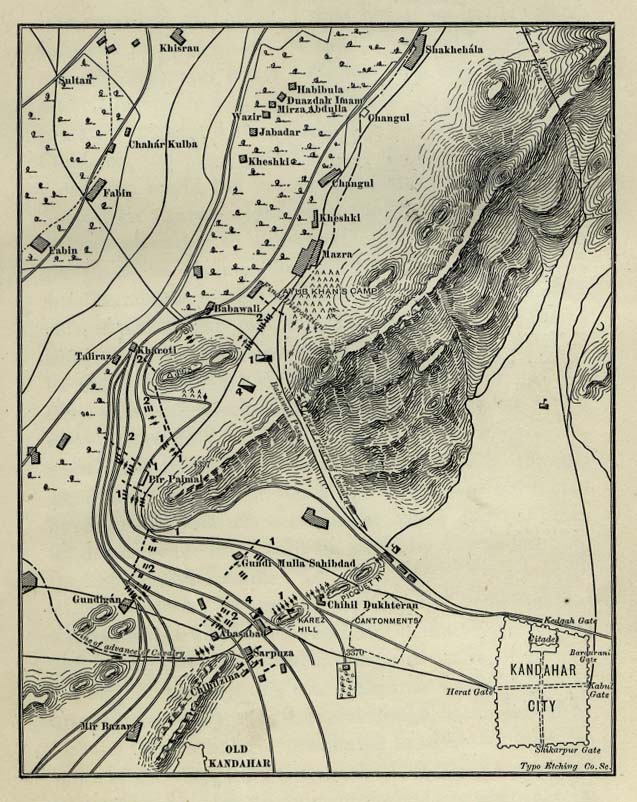
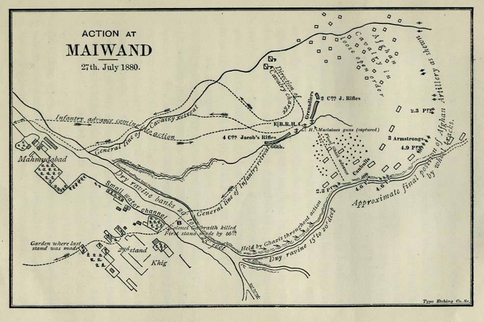
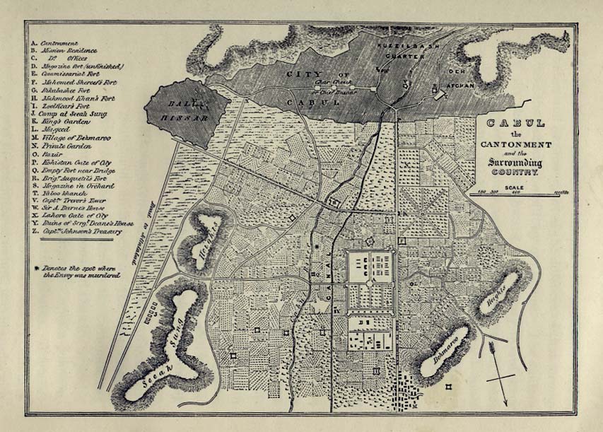
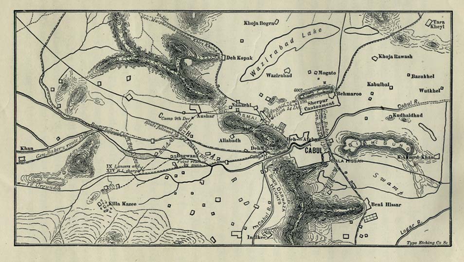
[edit] Afghanistan
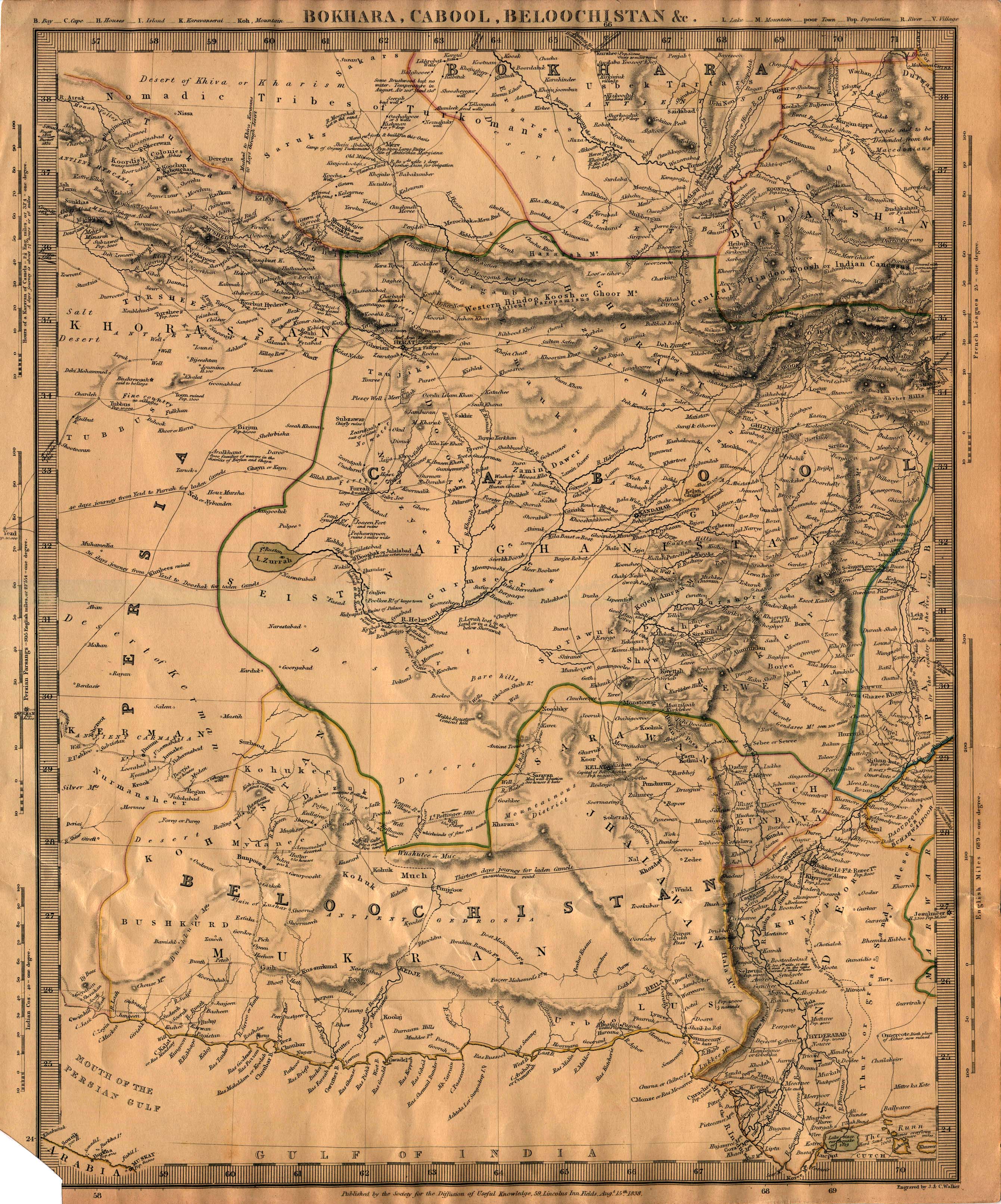
- Maps
- Military
- Kabul
[edit] Antarctica
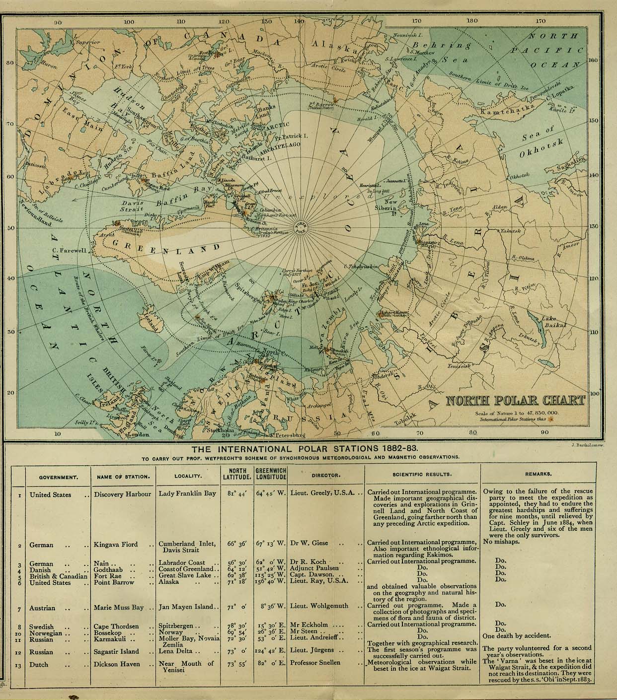
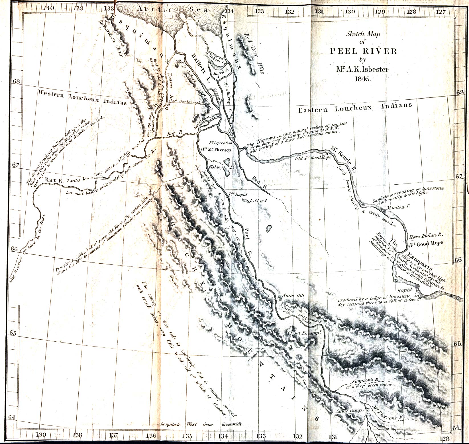
[edit] Arctic
- Maps
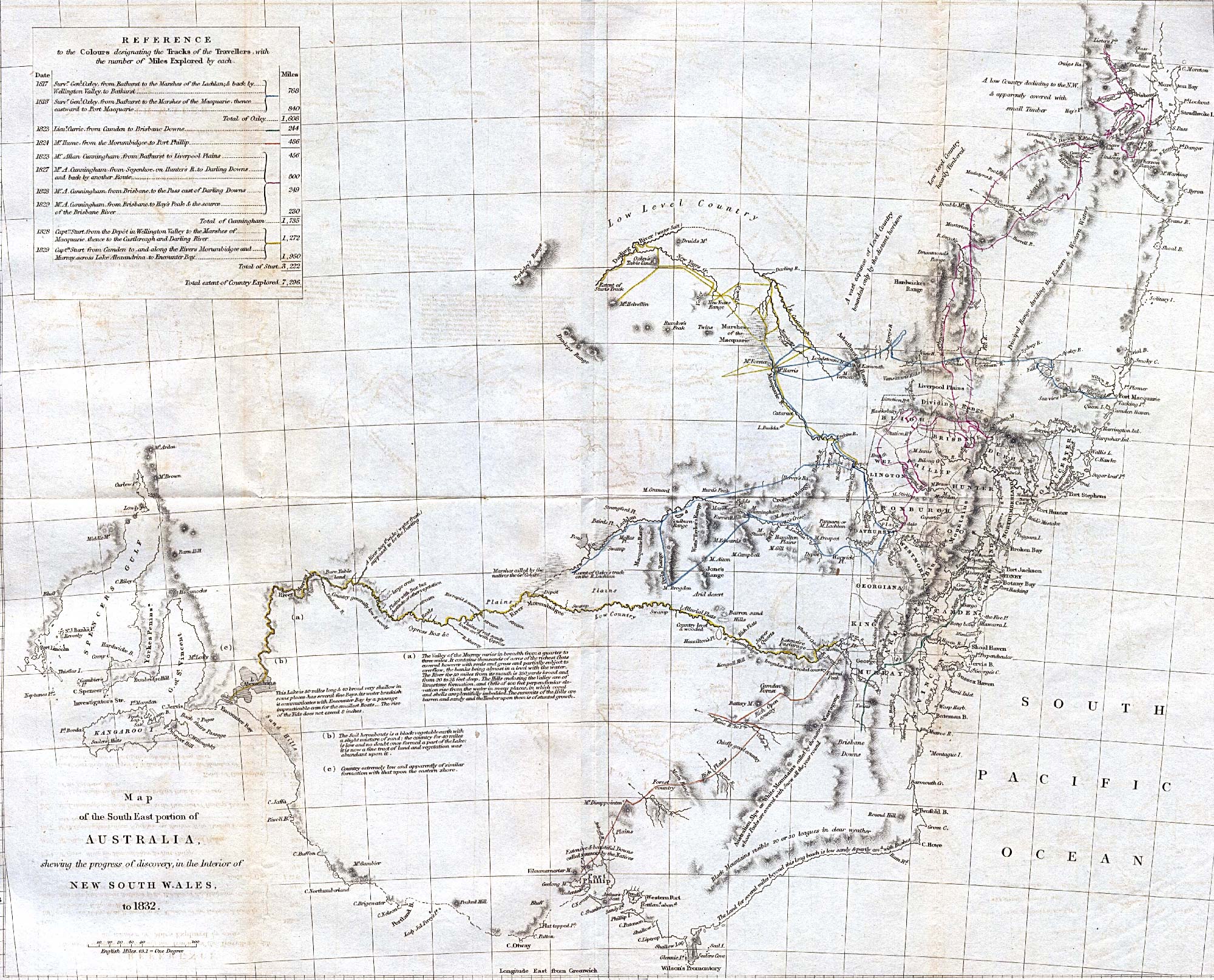
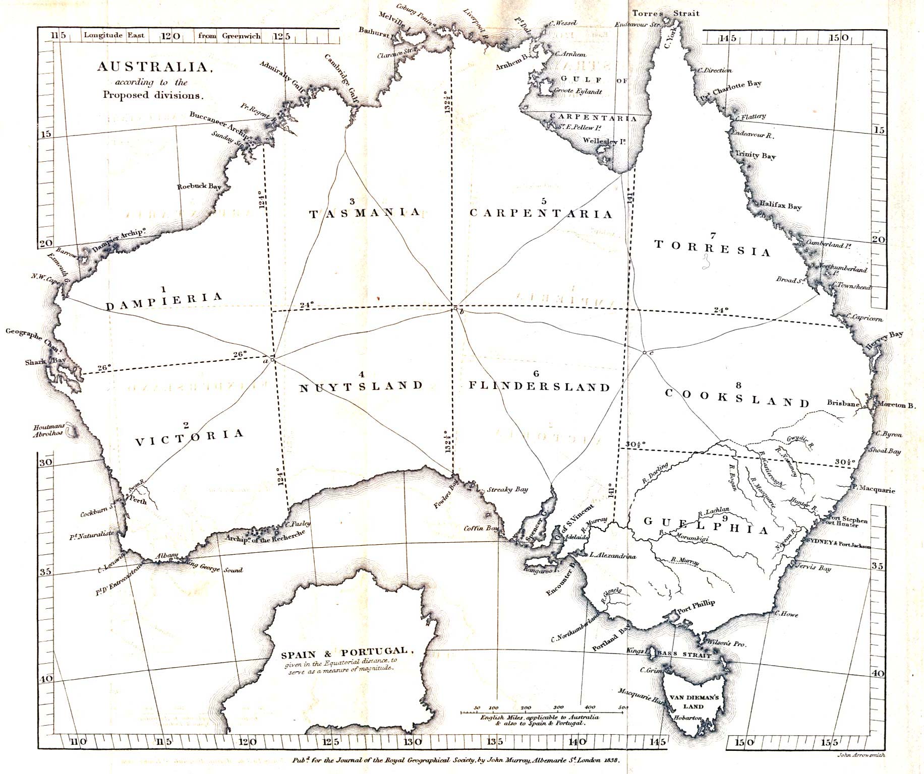
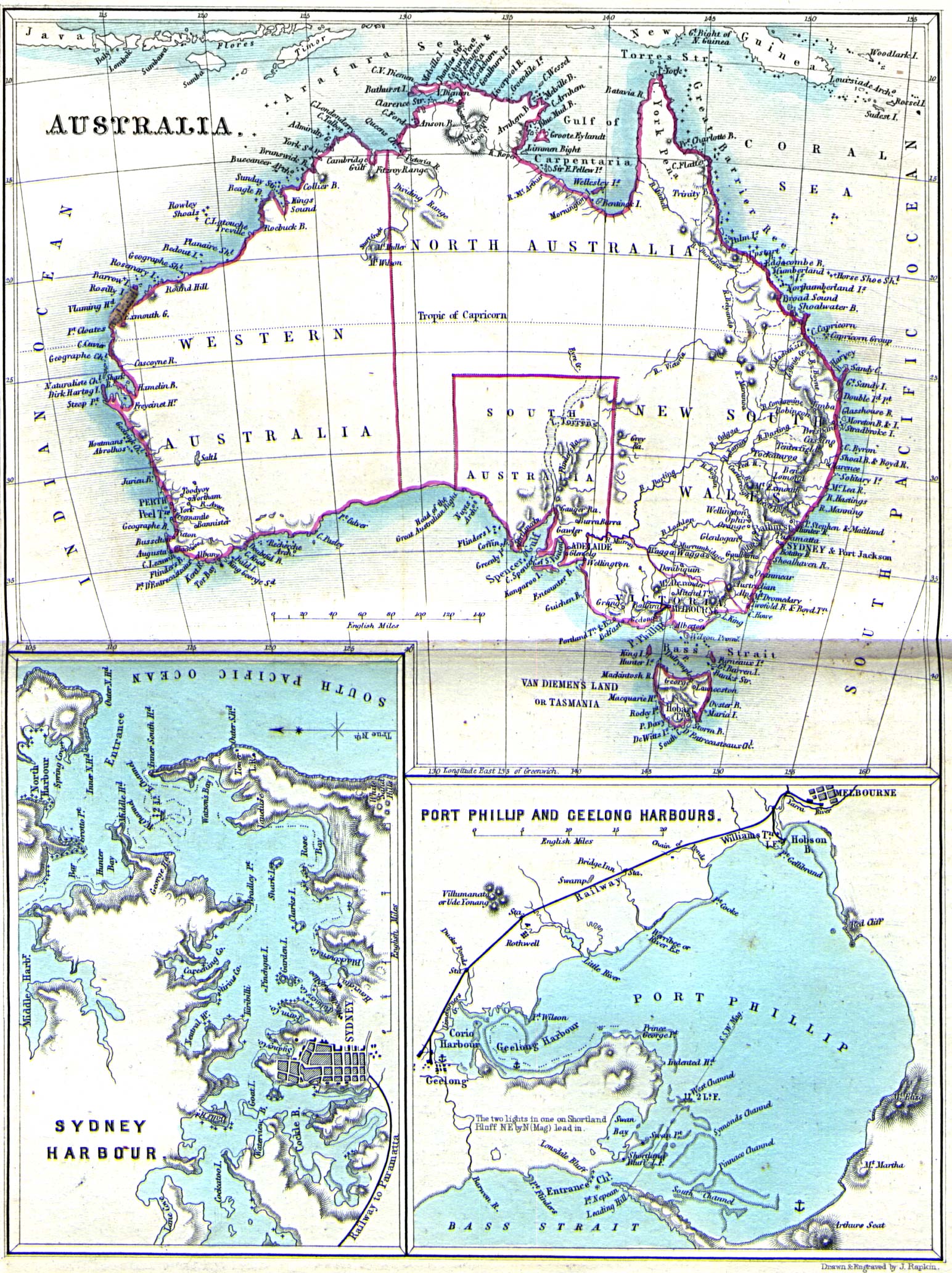
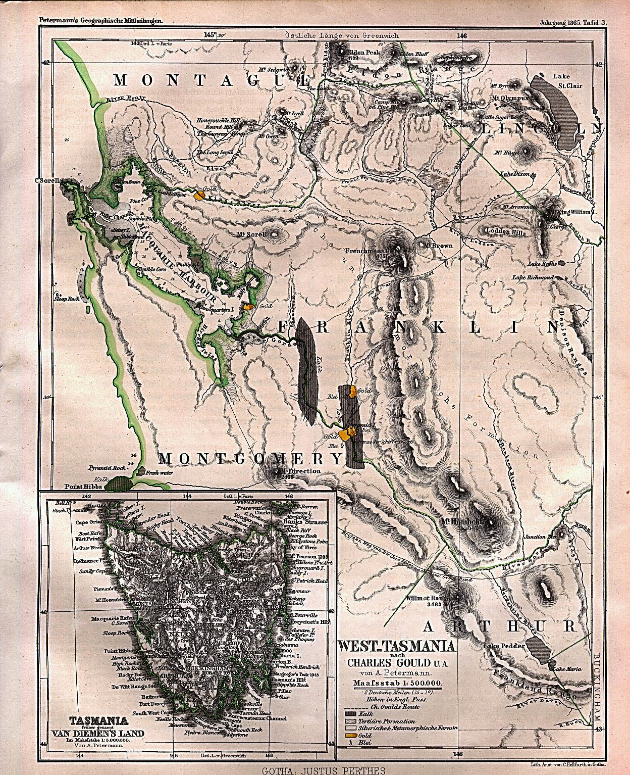
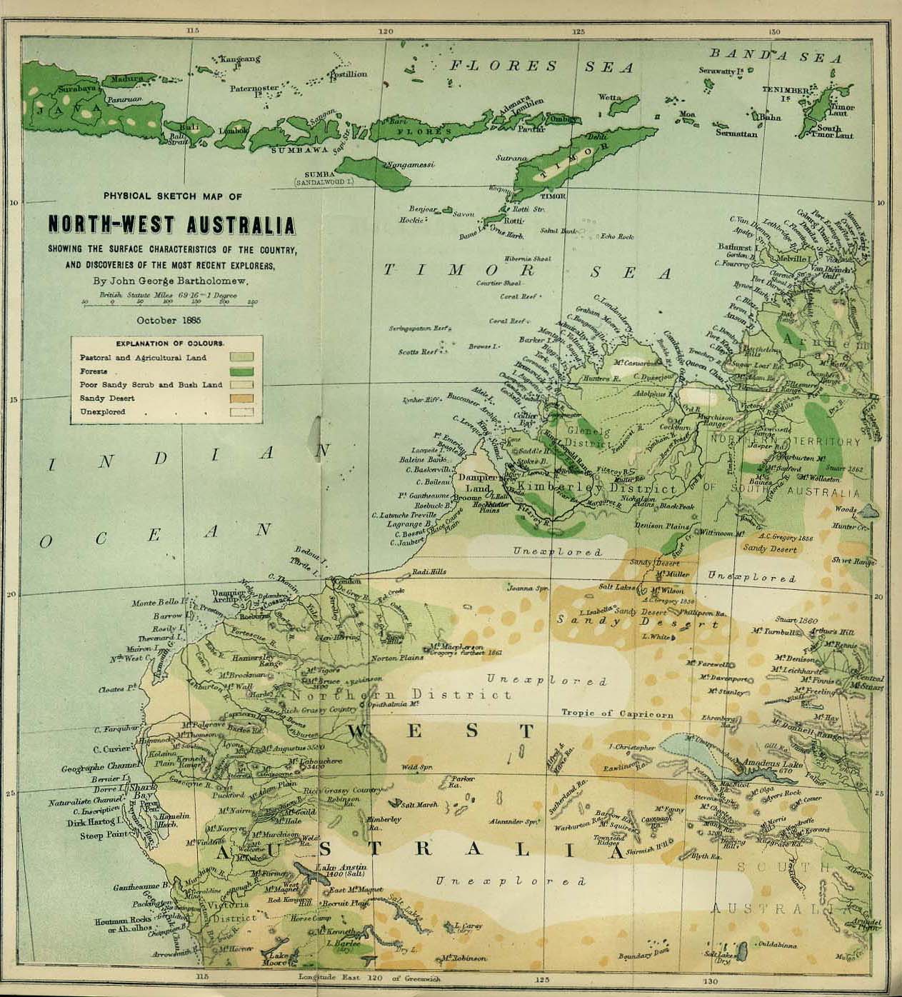
[edit] Australia
- Maps
- Cities
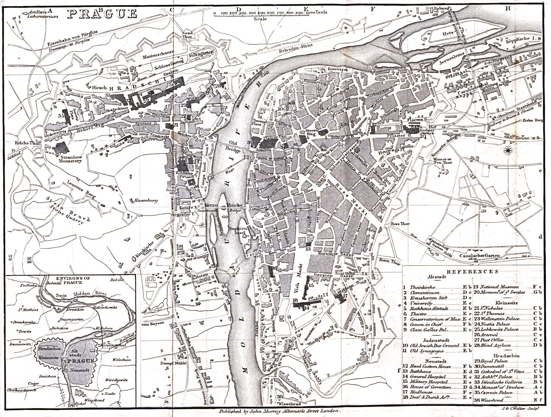
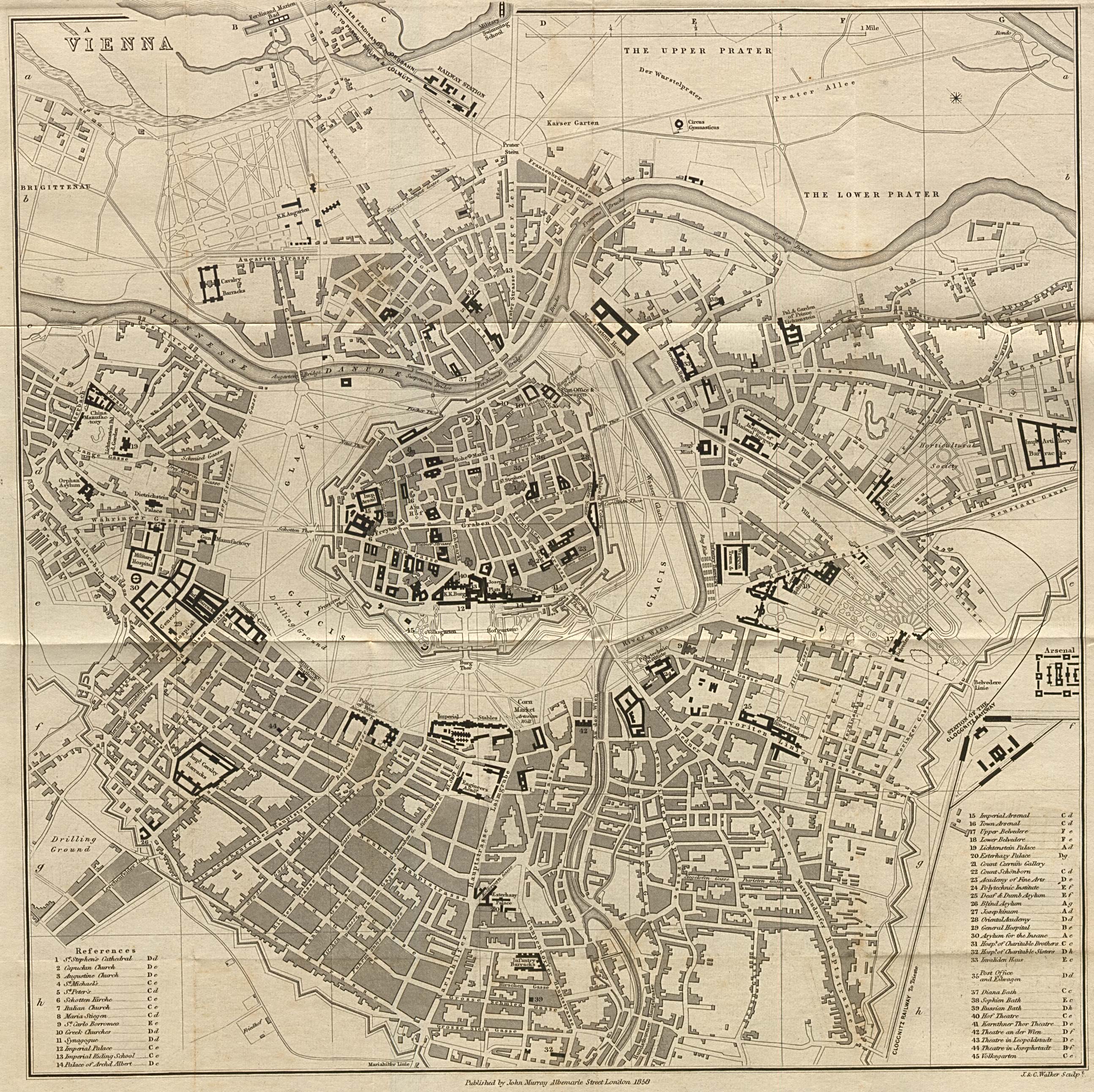
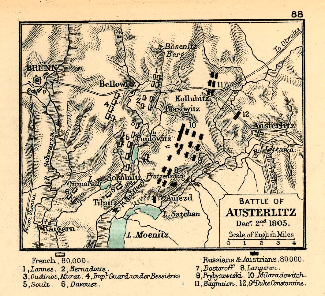
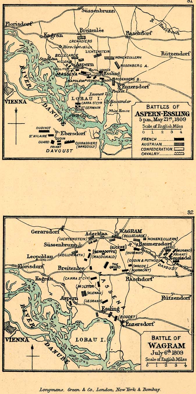
[edit] Austrian/Austro-Hungarian Empire
- General reference
- Cities
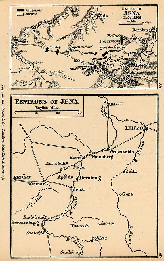
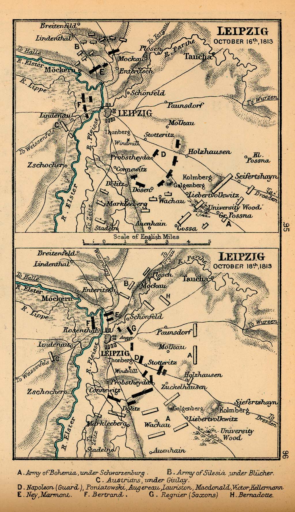
- Napoleonic Wars
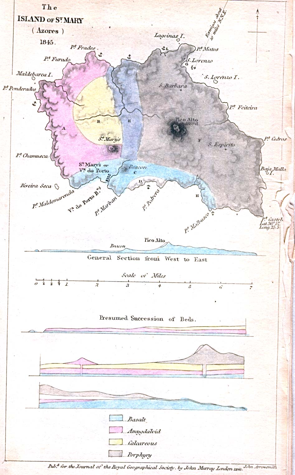
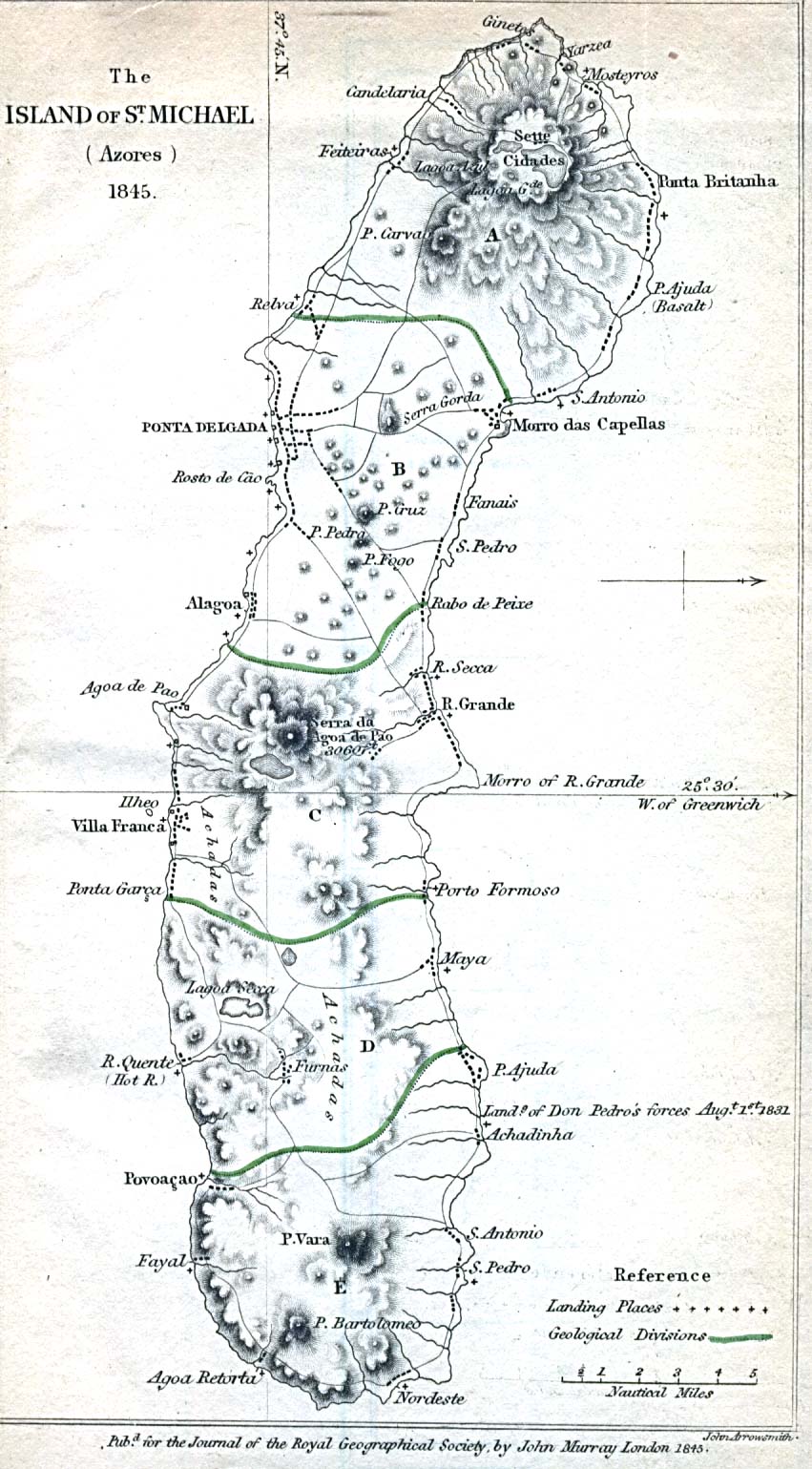
[edit] Azores
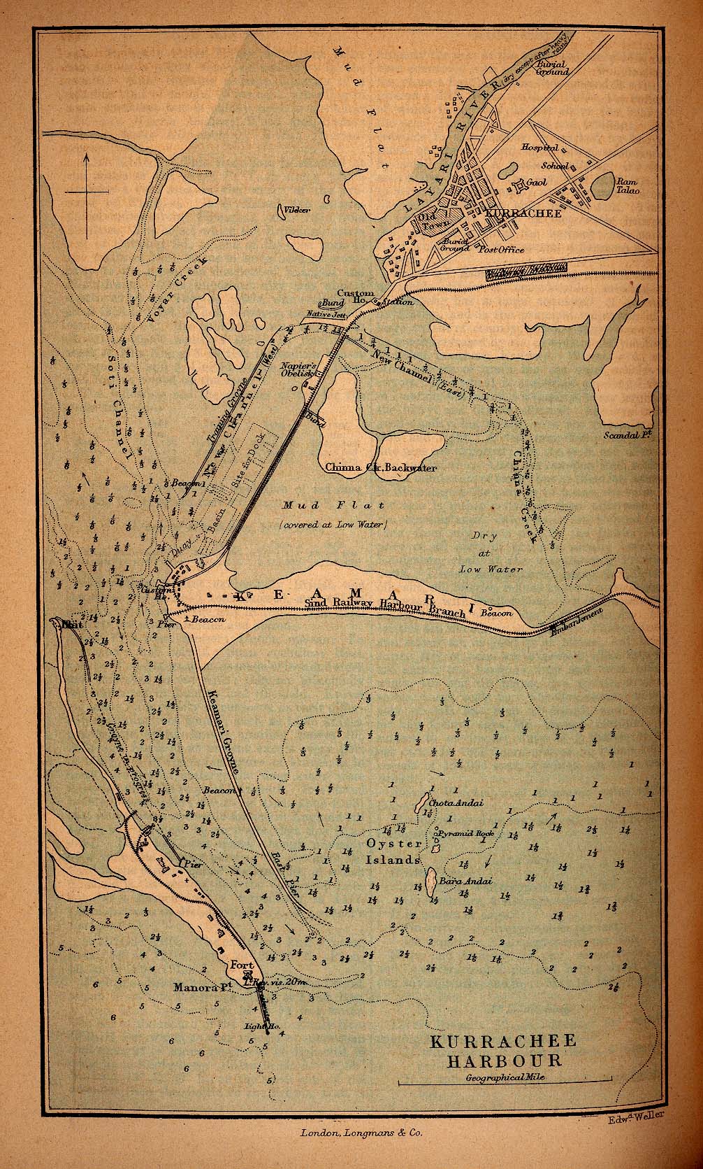
[edit] Baluchistan
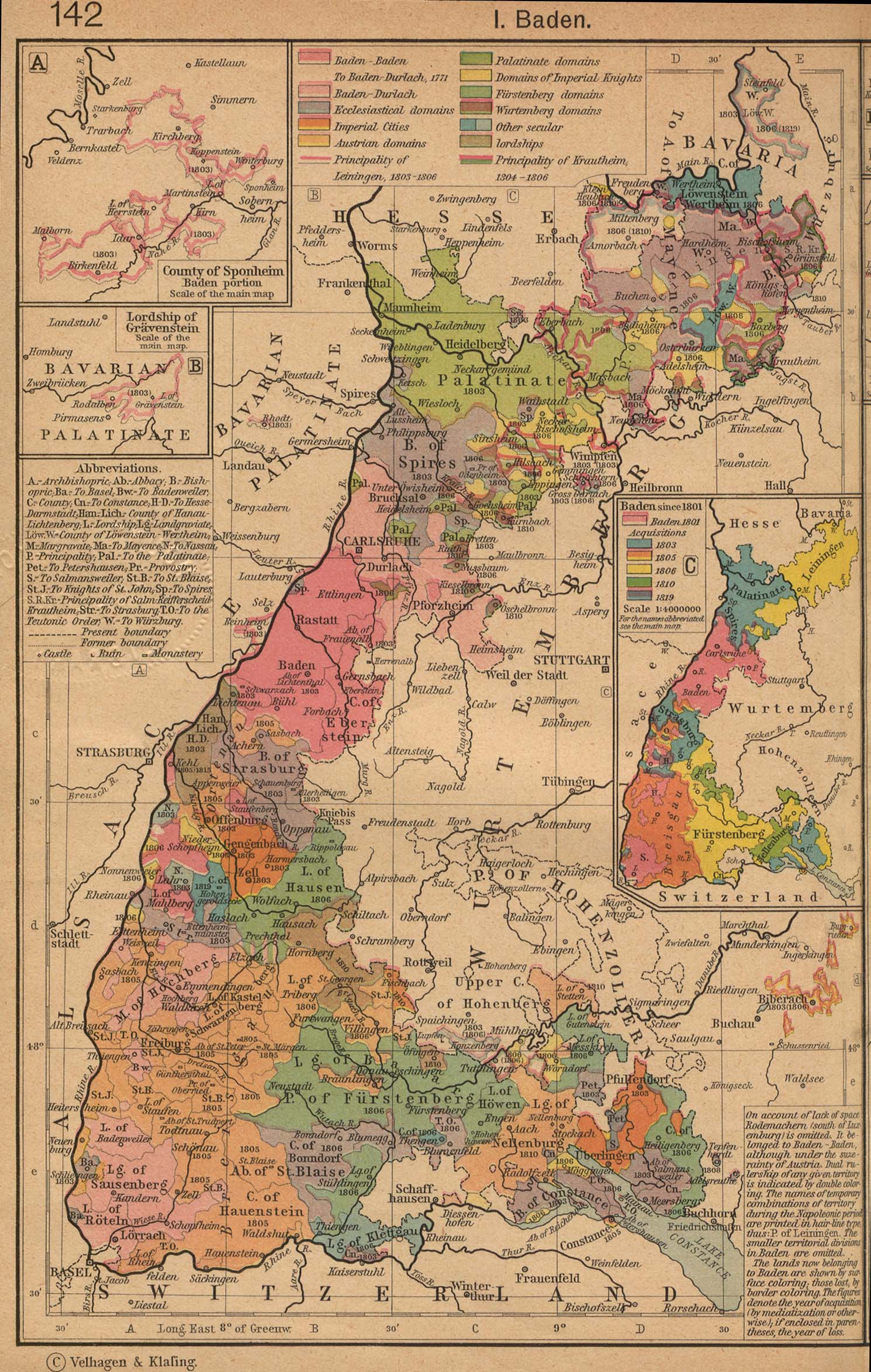
[edit] Bavaria
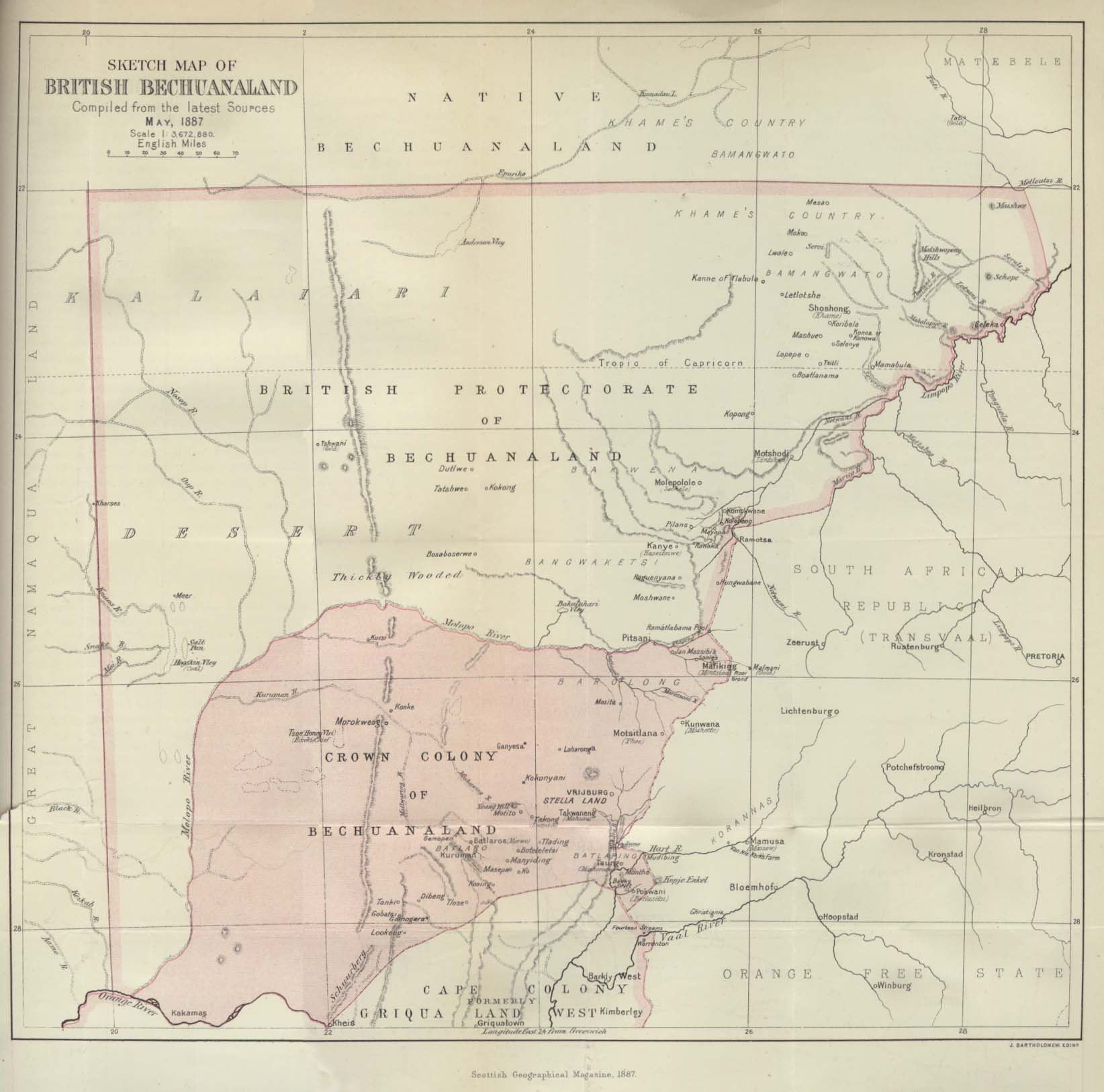
[edit] Bechuanaland
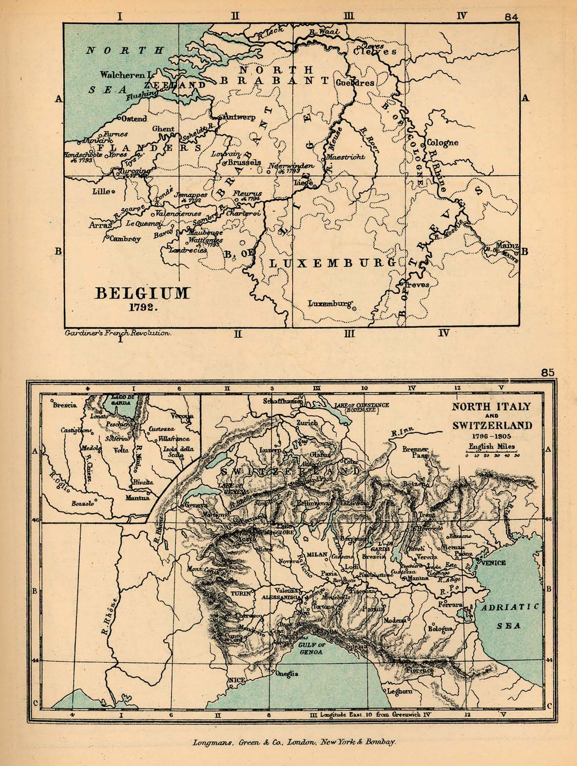
[edit] Belgium
- Guides
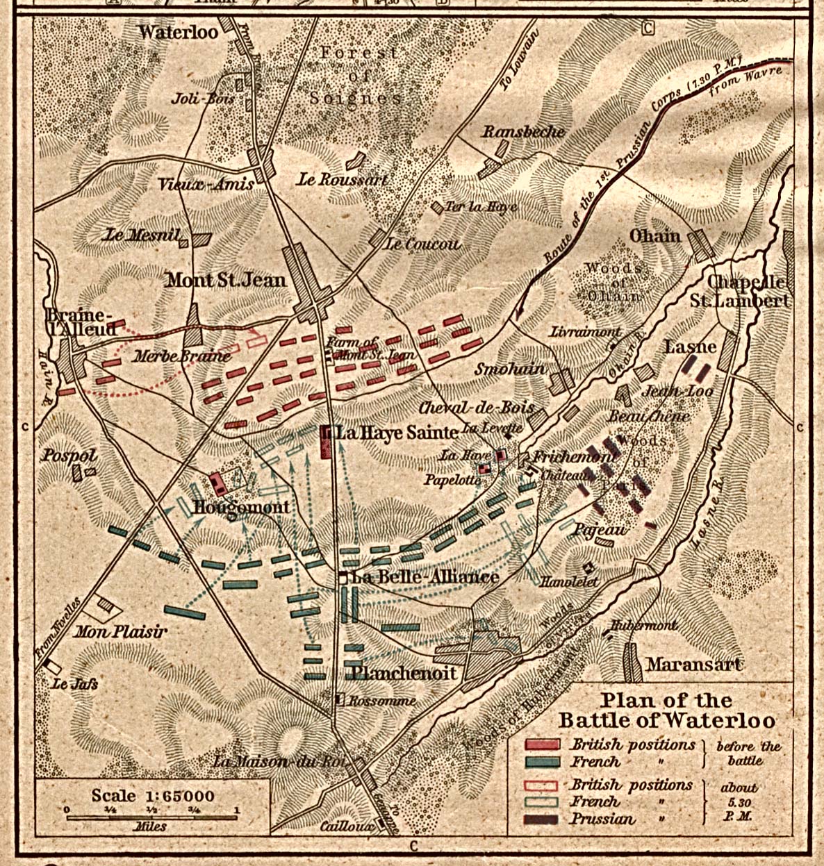
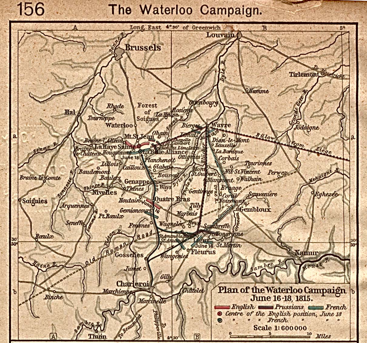
- Battle of Waterloo, 1815
[edit] Bokhara
[edit] Brazil
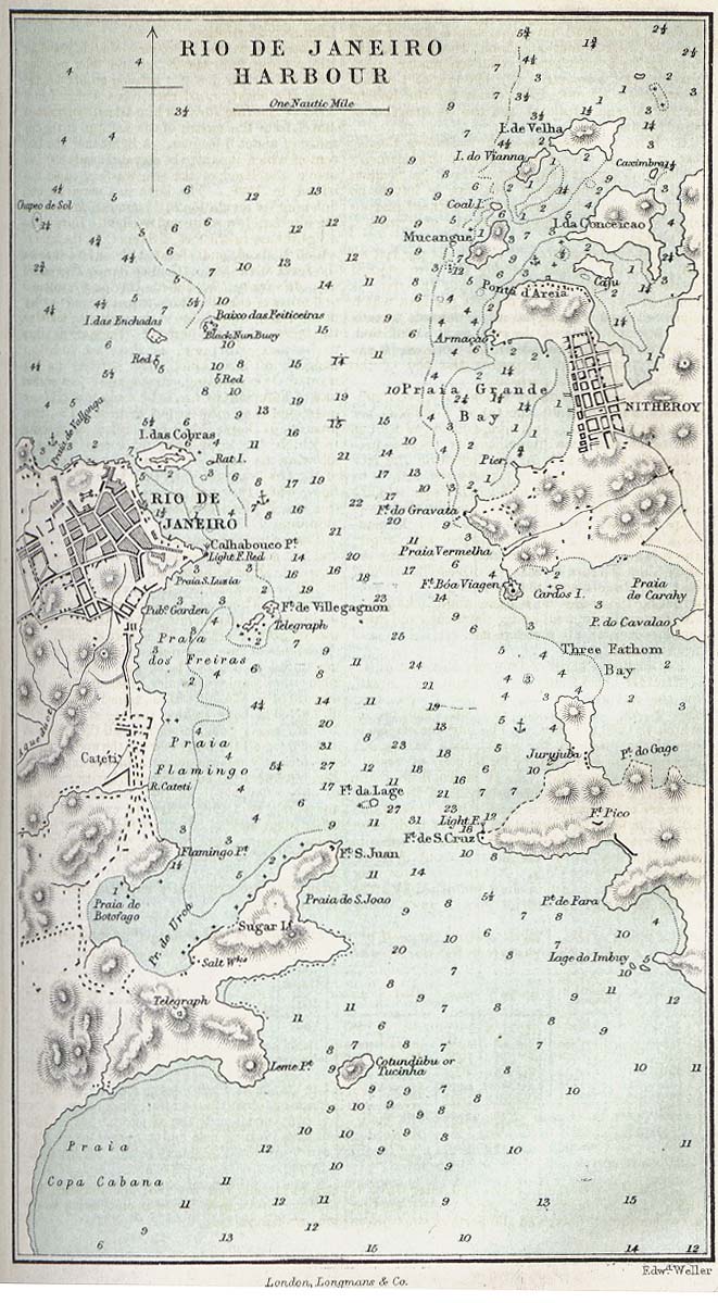
- Rio de Janeiro
[edit] Bulgaria
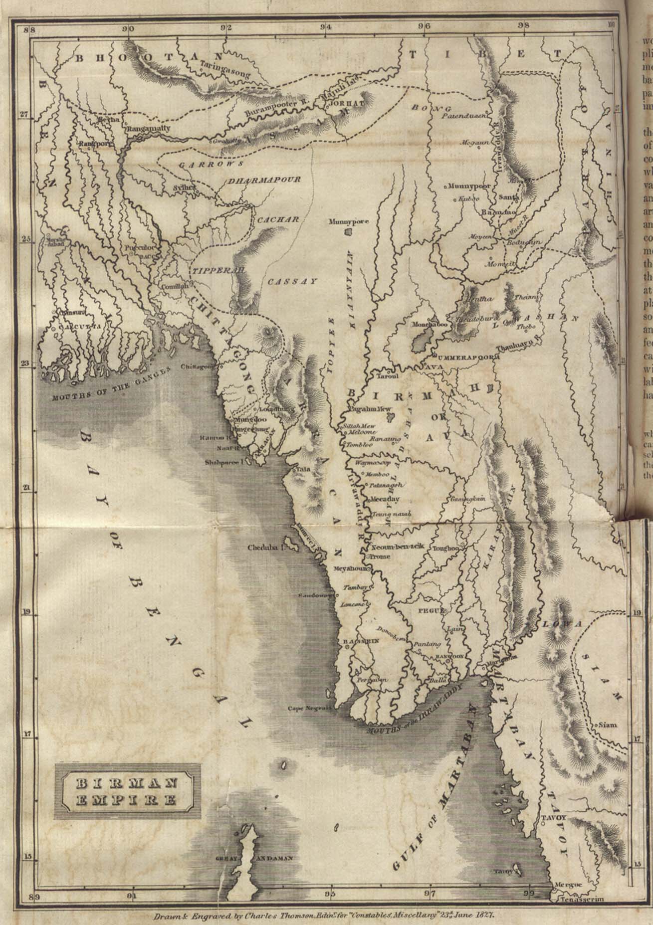
[edit] Burma
- Maps
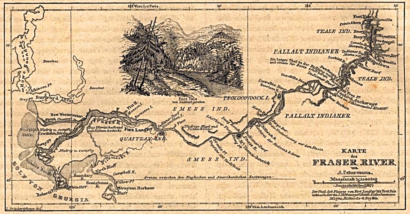
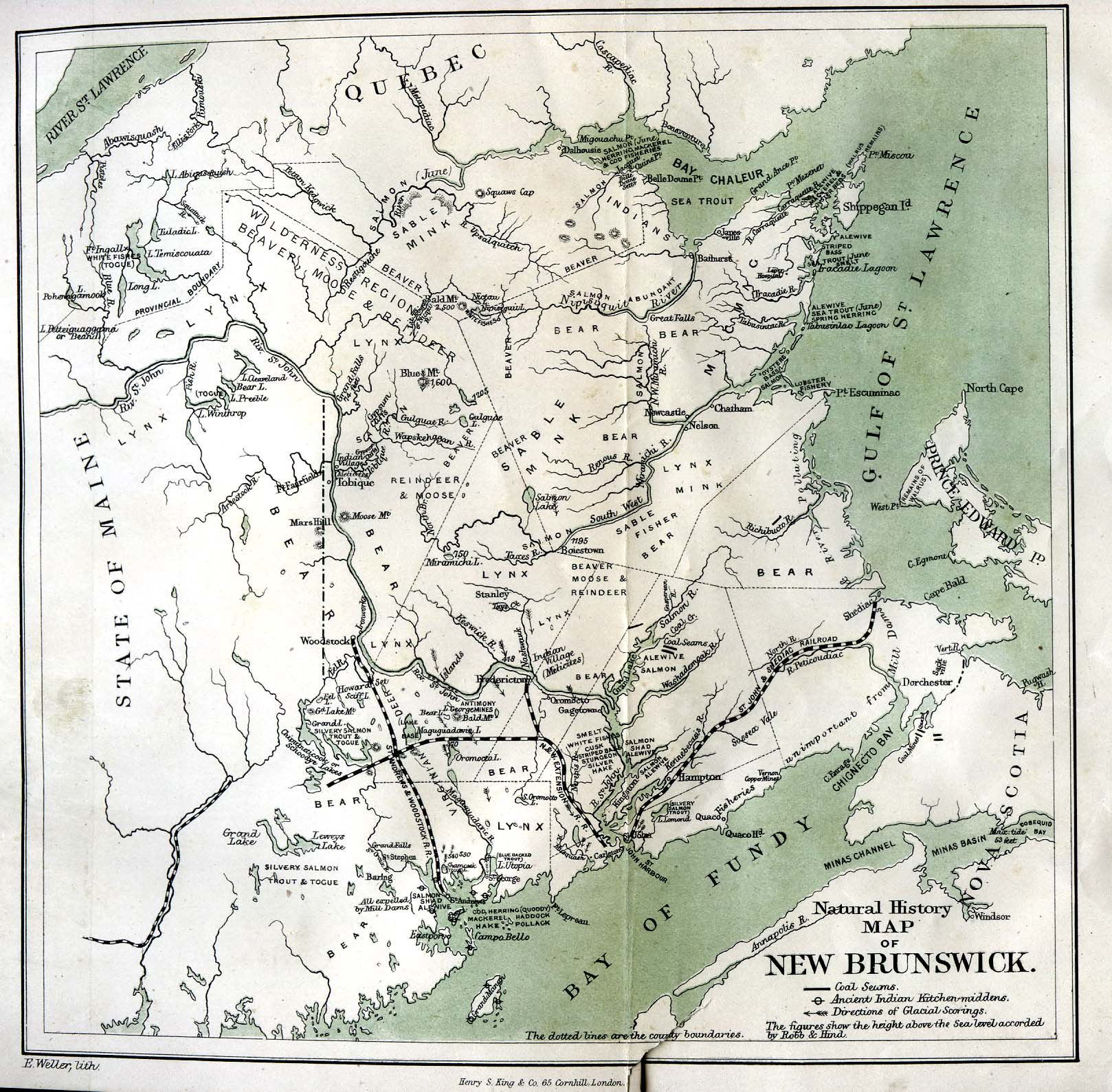
[edit] Canada
- Guides
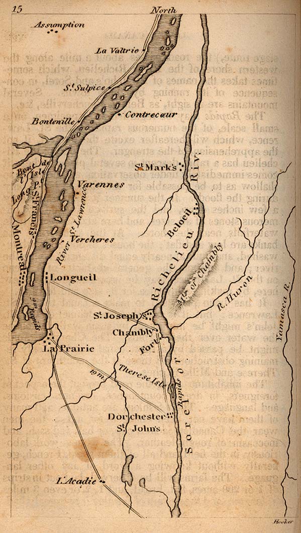
- Maps
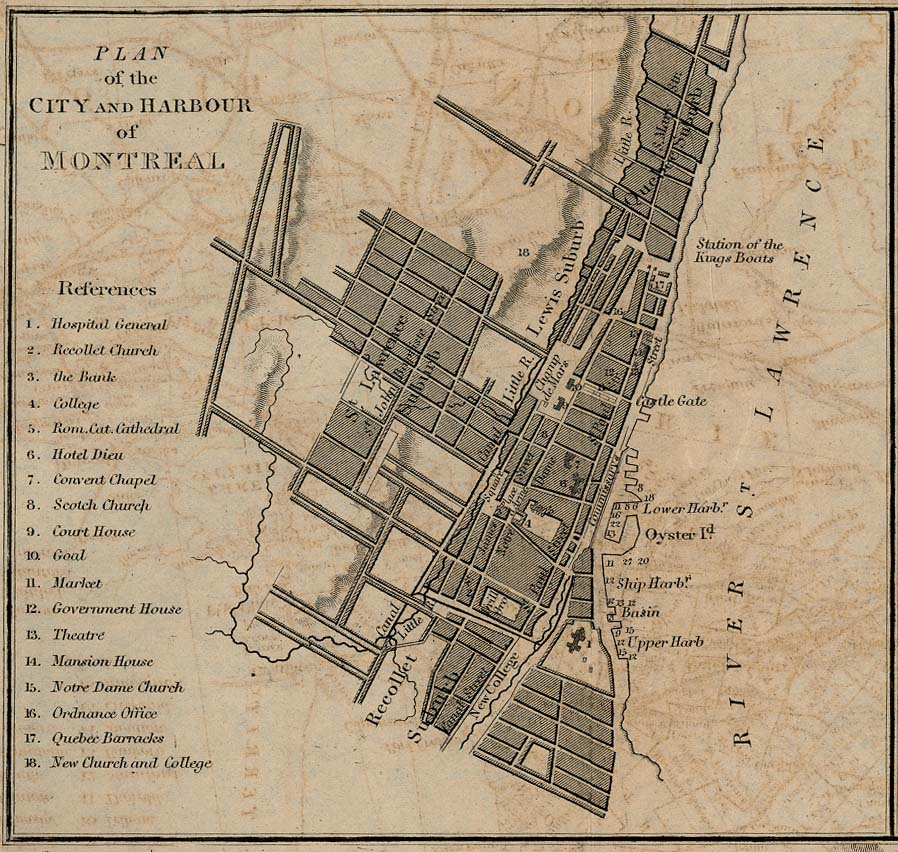
- Montreal
- Other cities
[edit] Cape Colony
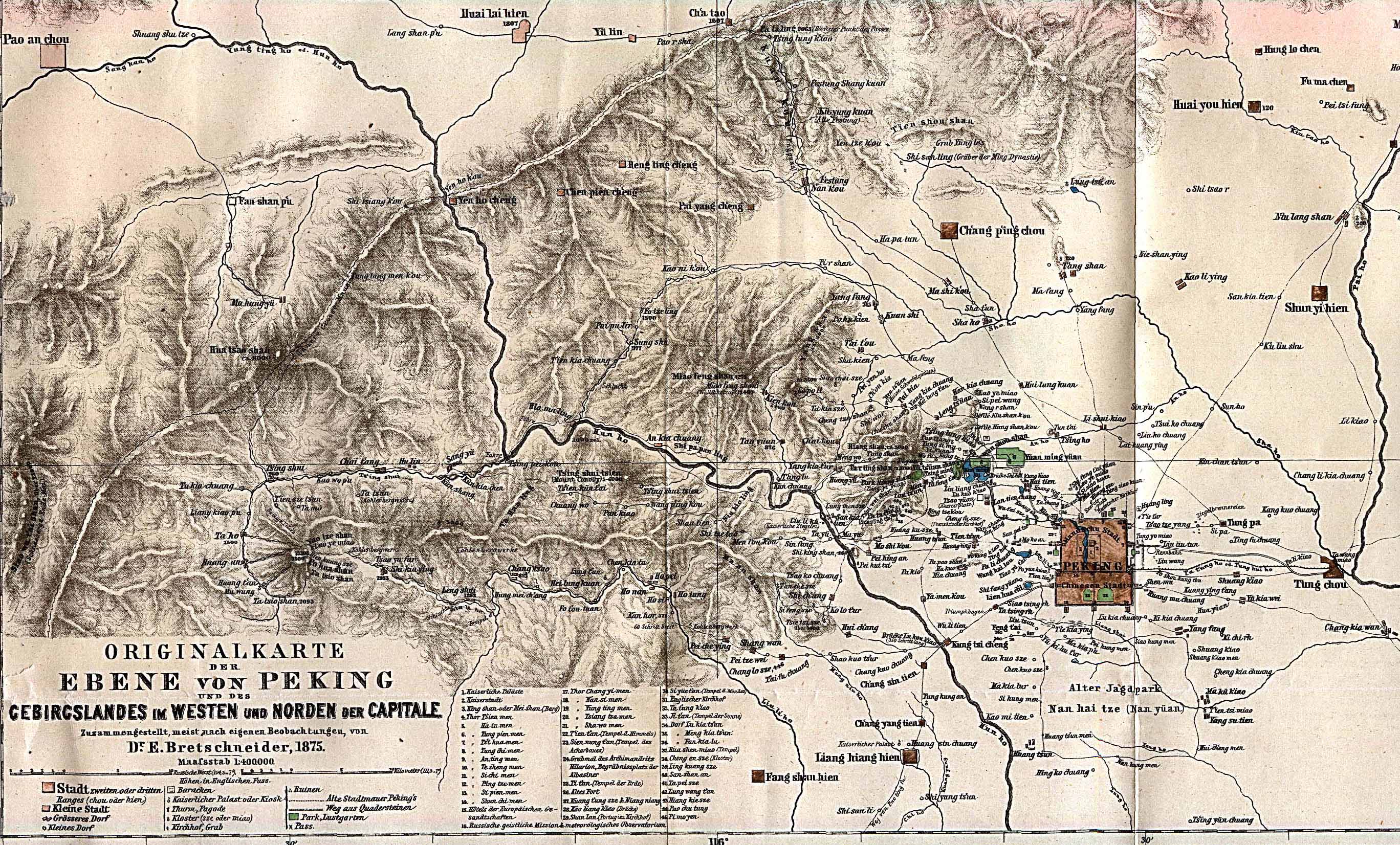
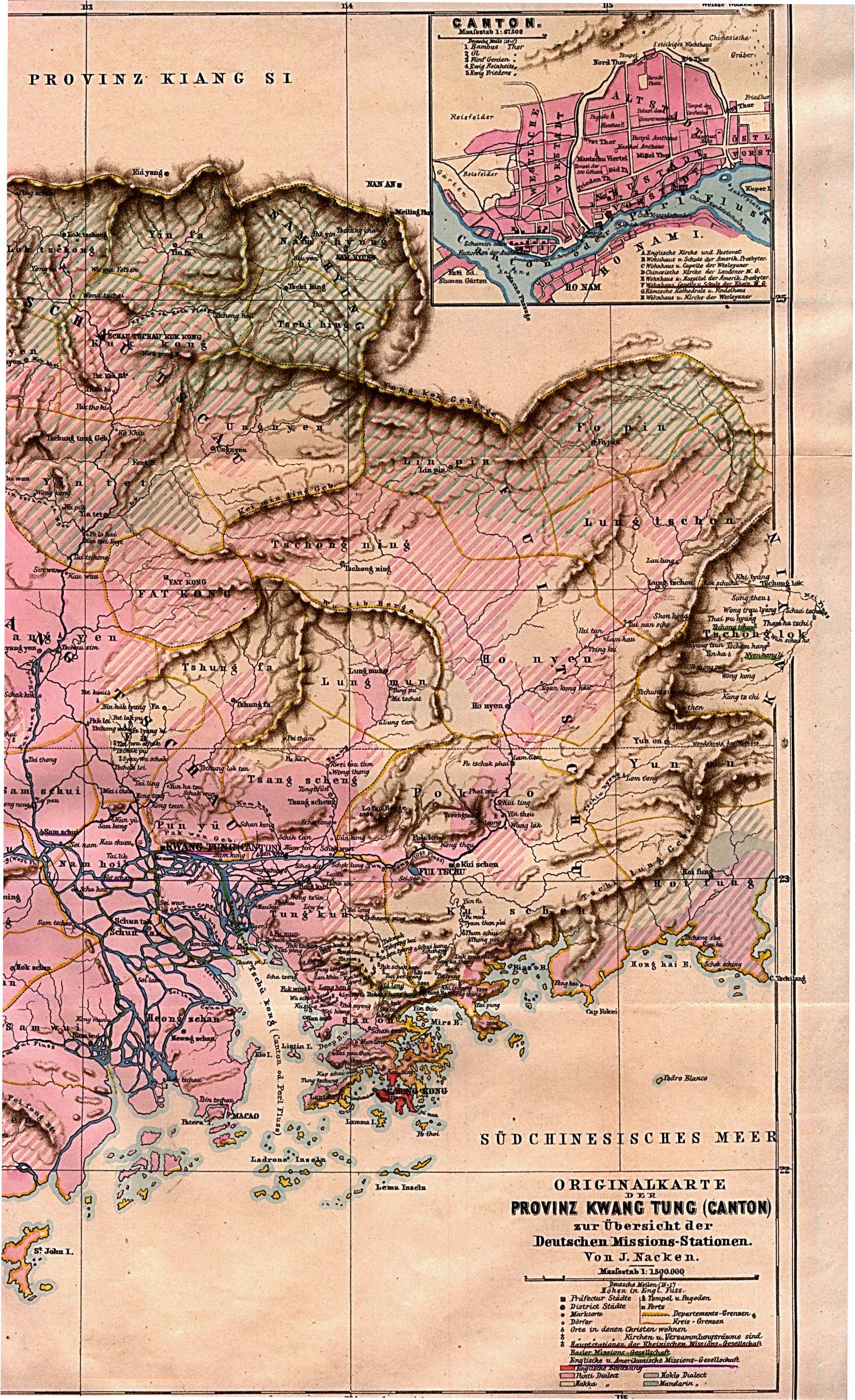
[edit] China
- Maps
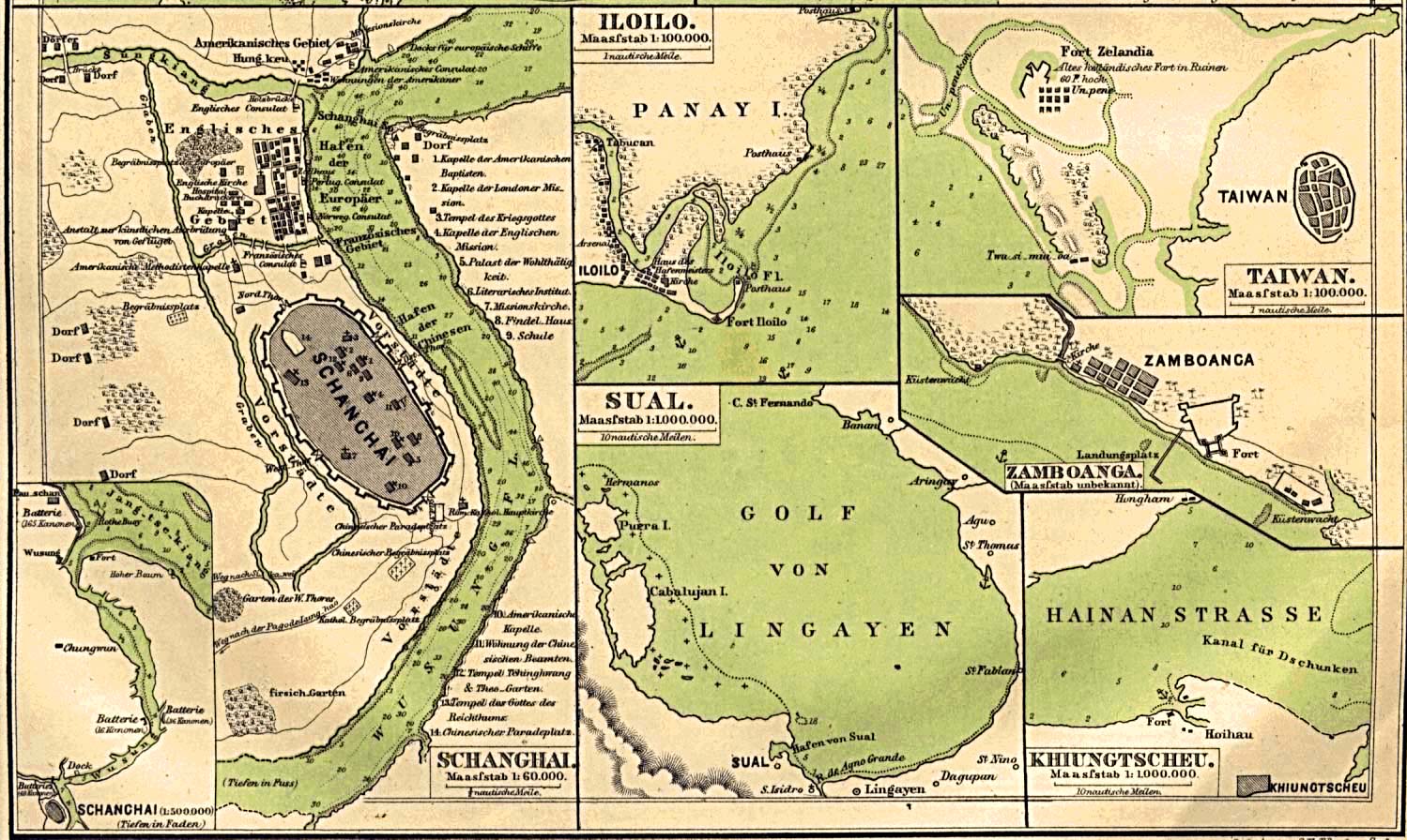
- Shanghai
- Other cities
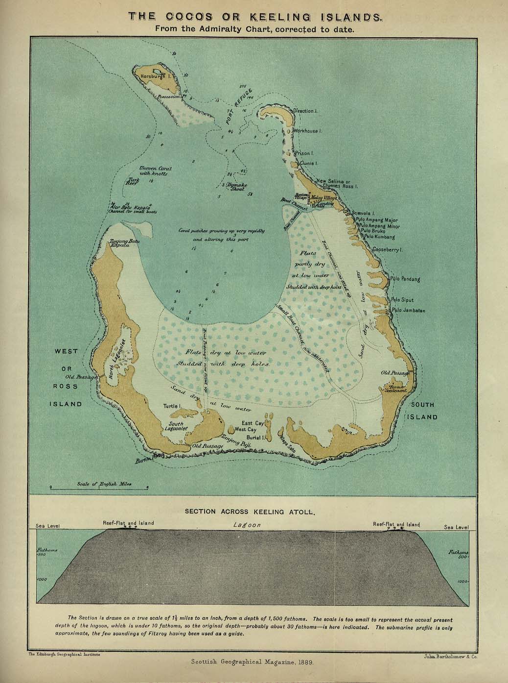
[edit] Cocos or Keeling Islands
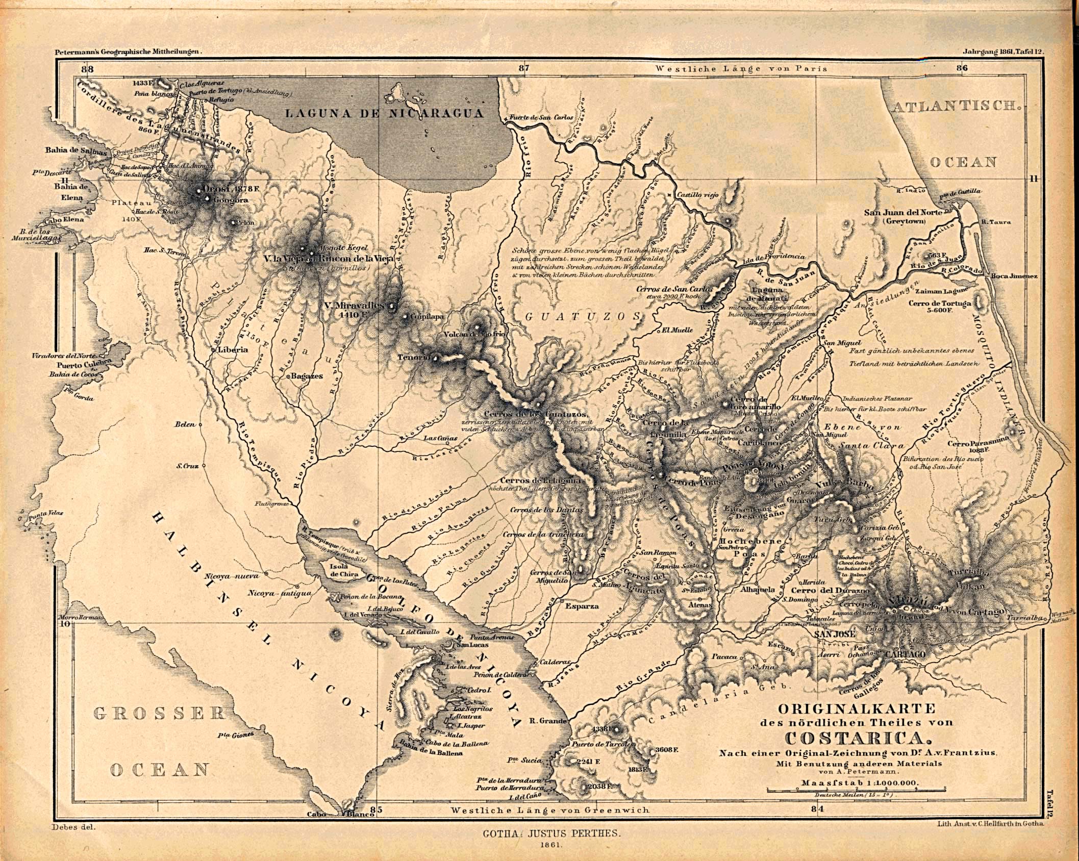
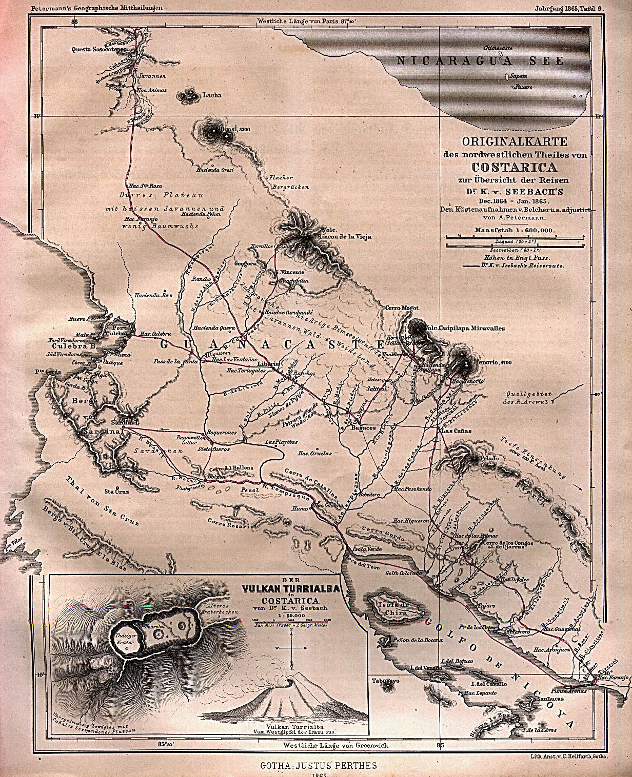
[edit] Costa Rica
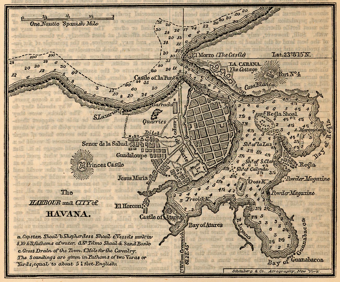
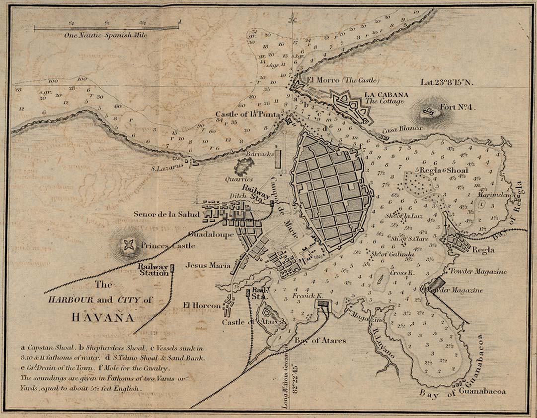
[edit] Cuba
[edit] Egypt
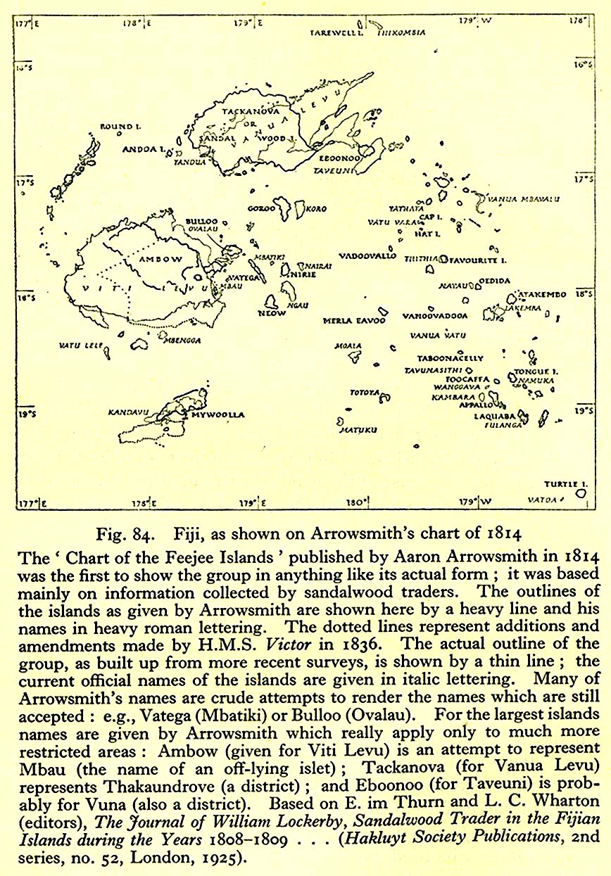
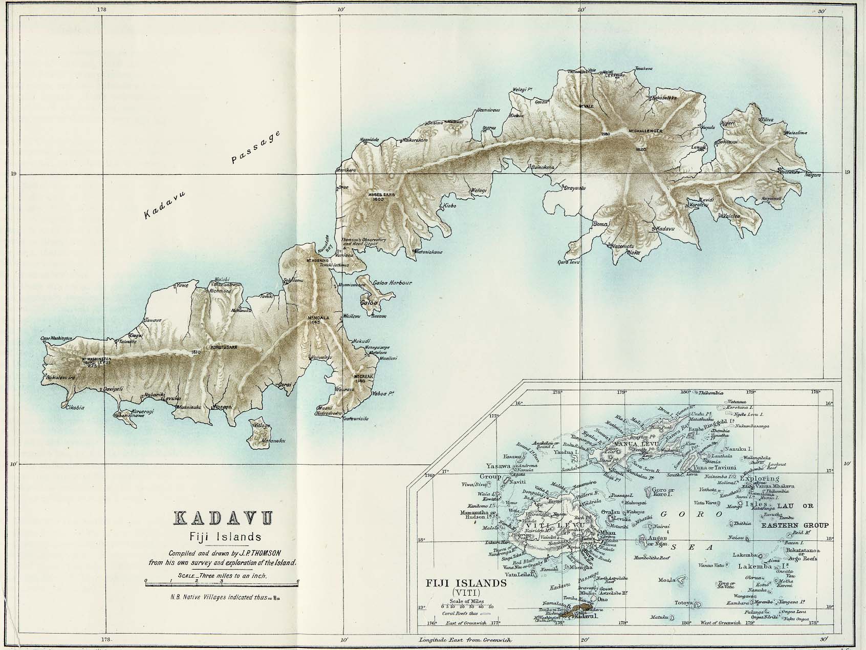
[edit] Fiji
[edit] Formosa
- Taiwan (Tainan)
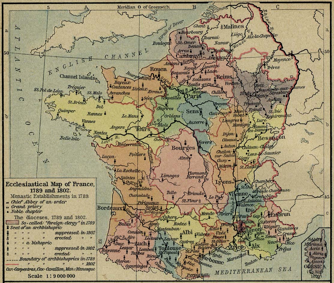
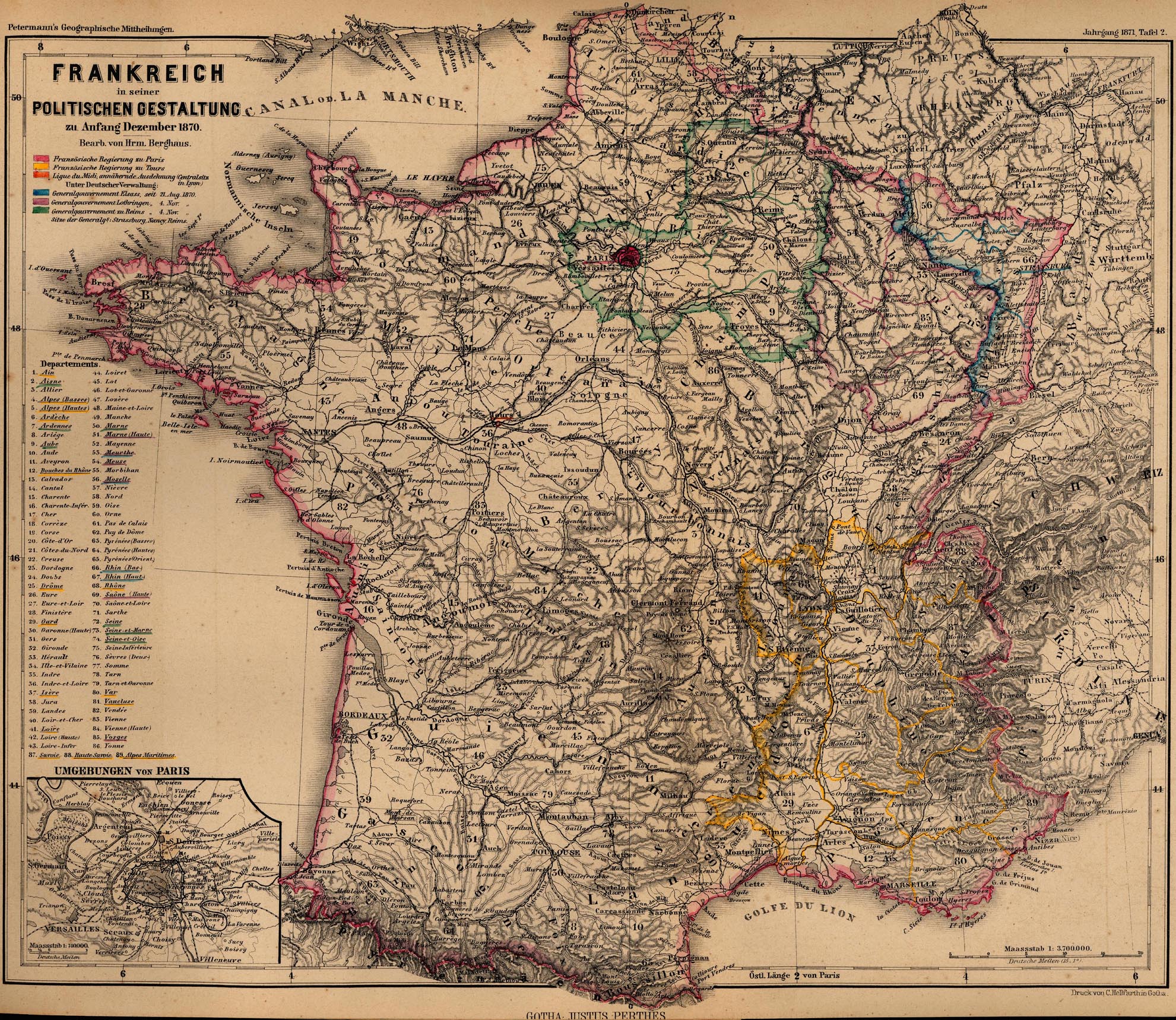
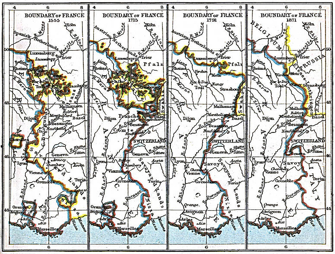
[edit] France
- Guides
- Maps
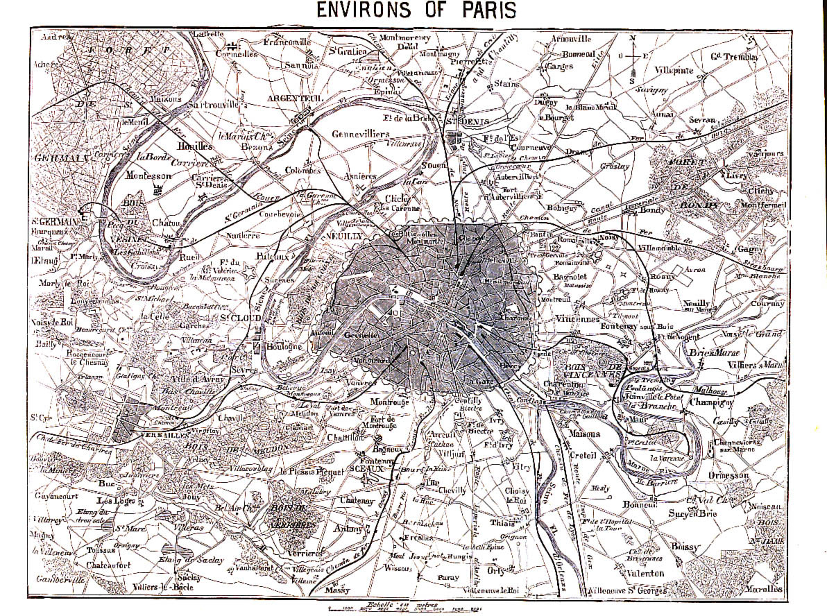
- Paris
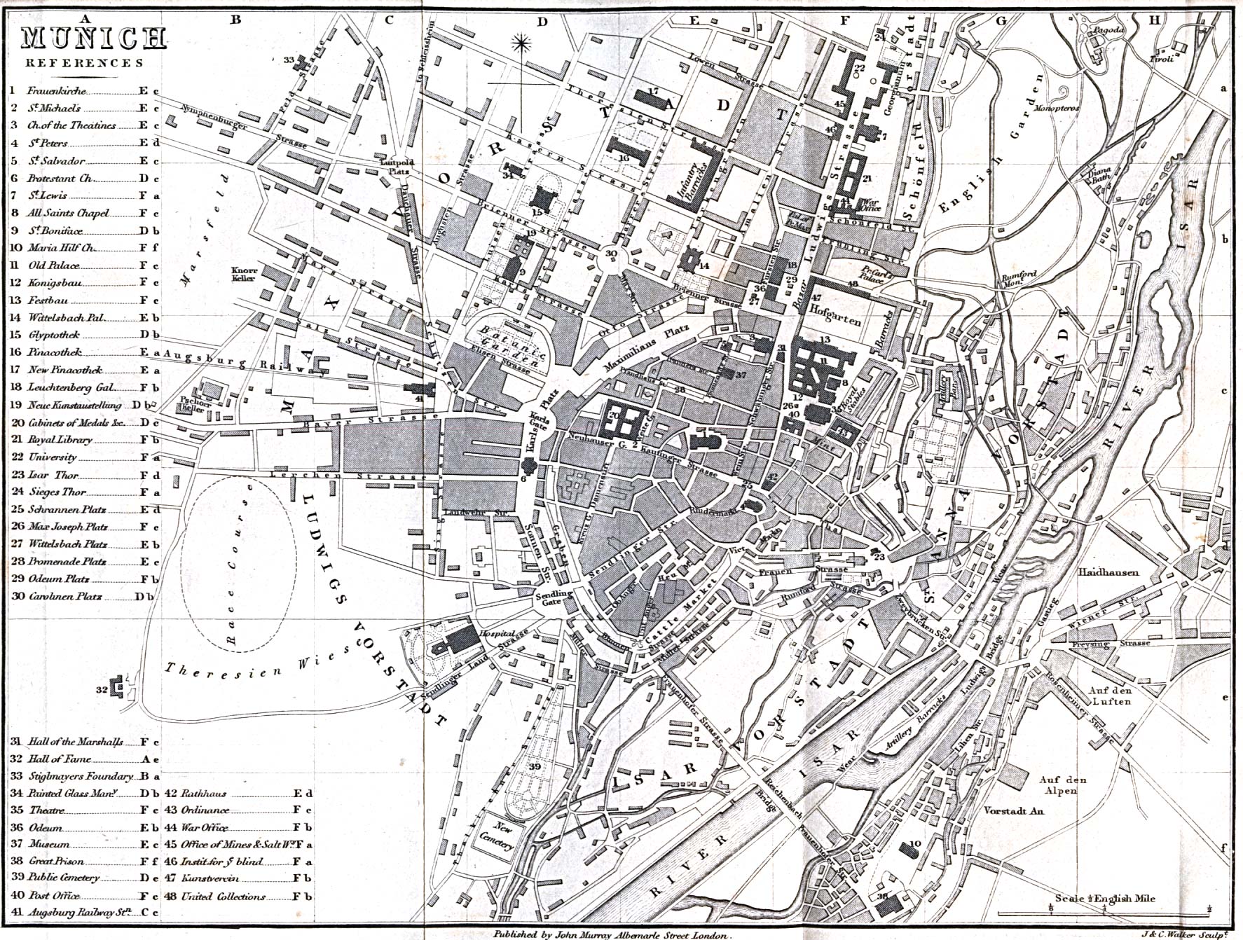
[edit] Germany (General)
- Maps
- Napoleonic Wars
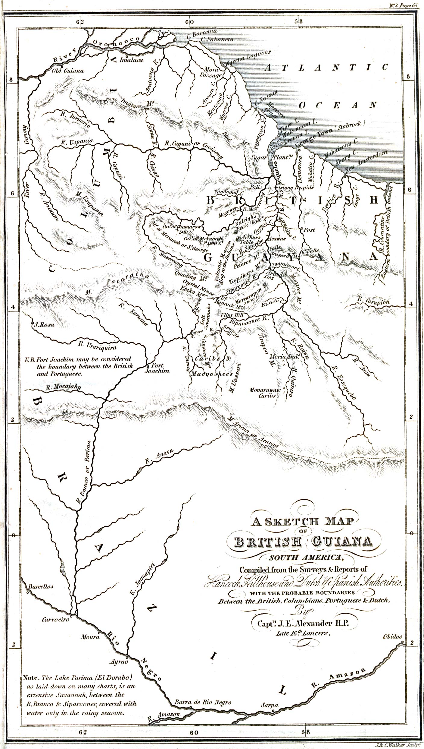
[edit] British Guiana
[edit] India
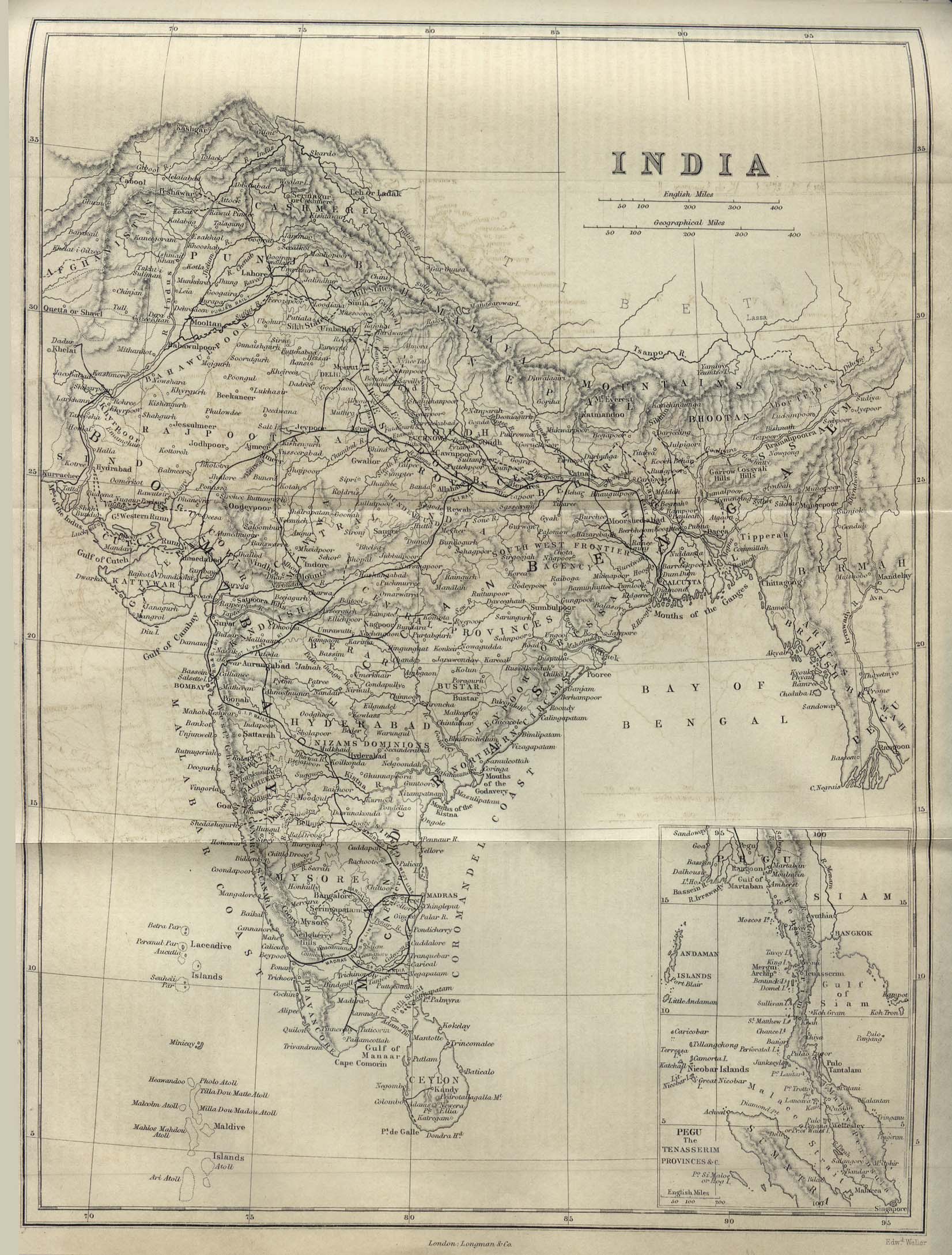
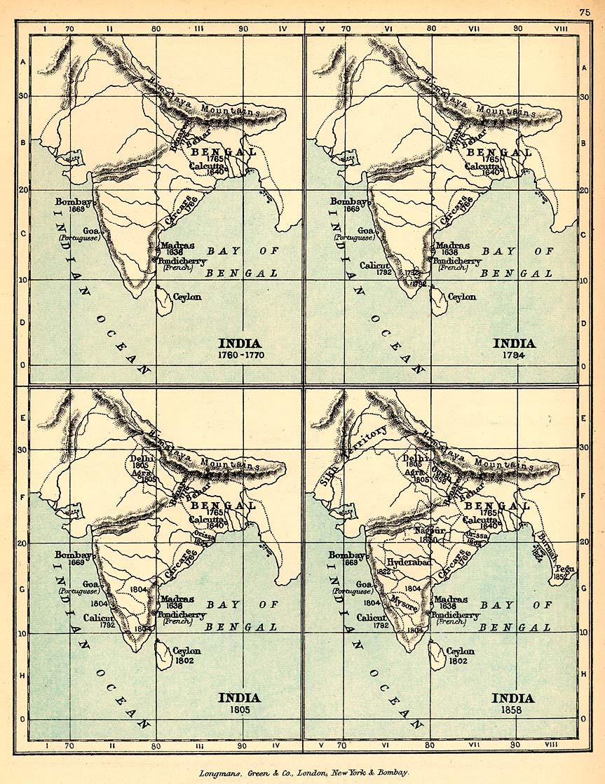
- Maps
- Railways
- Cities
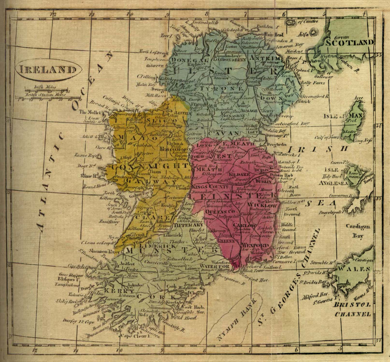
[edit] Ireland
- Maps
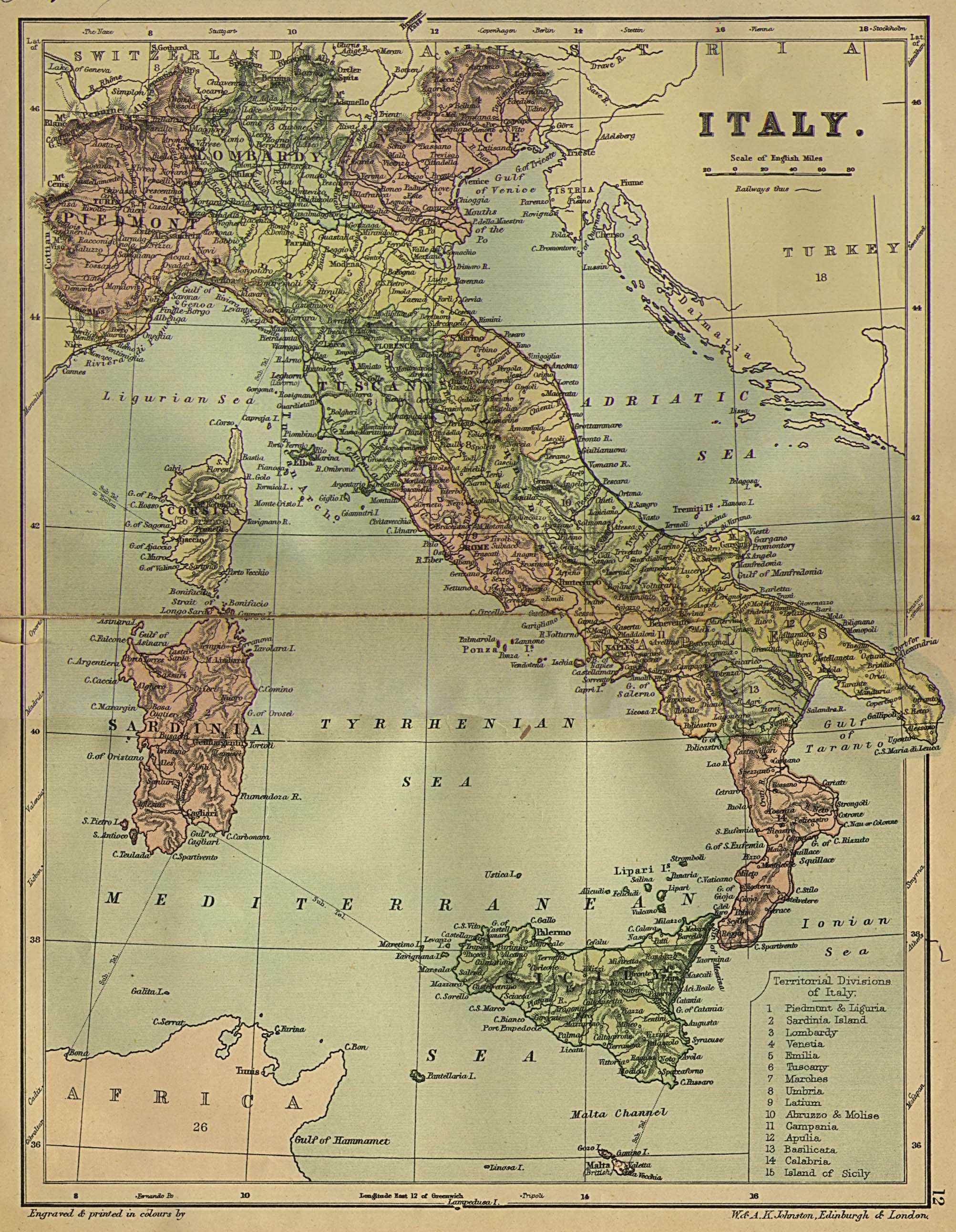
[edit] Italy
- Maps
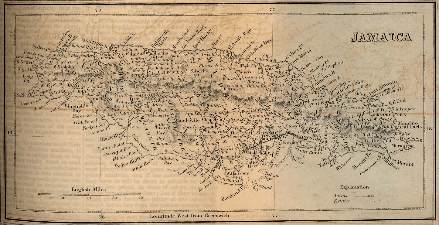
[edit] Jamaica
- Maps
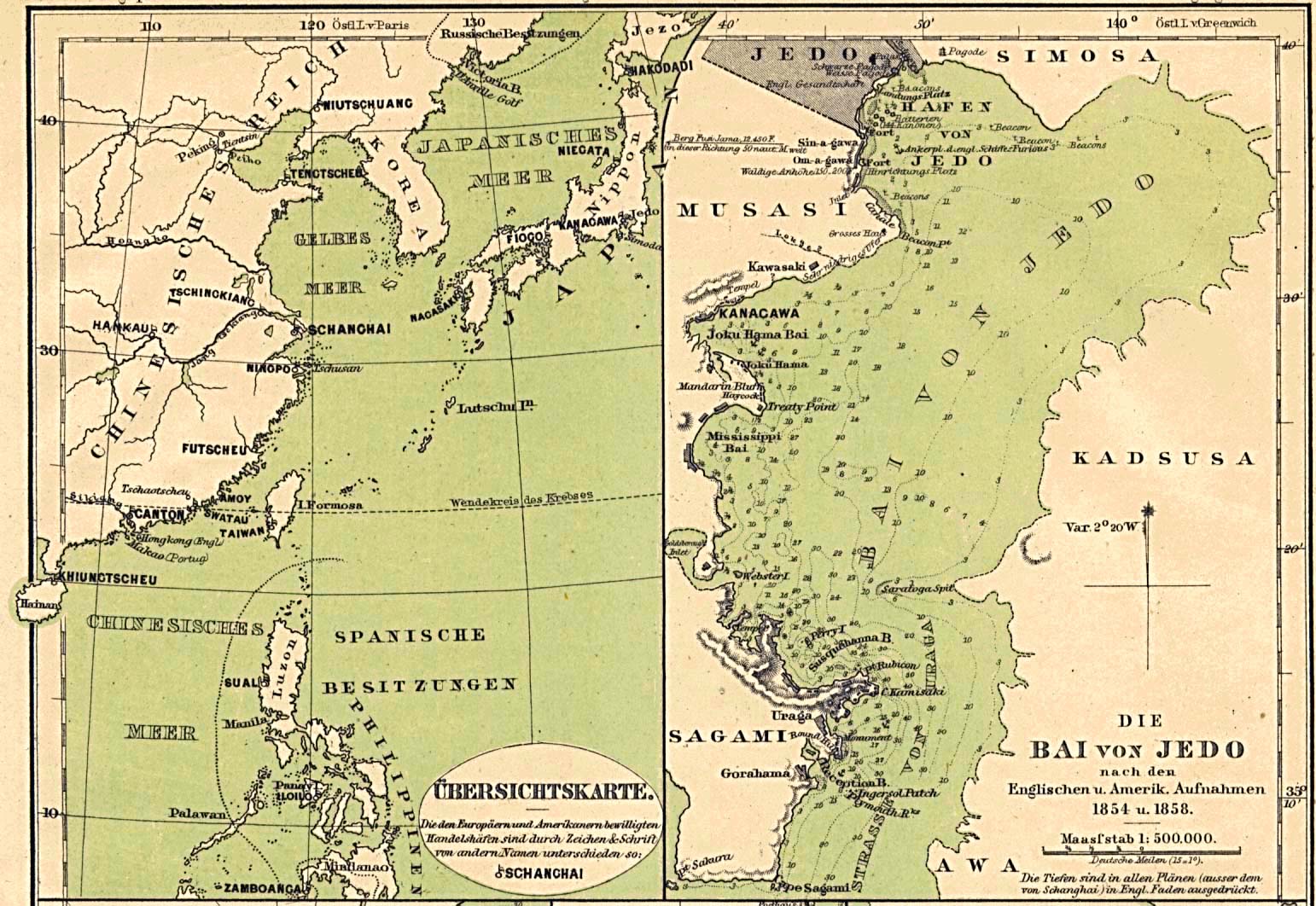
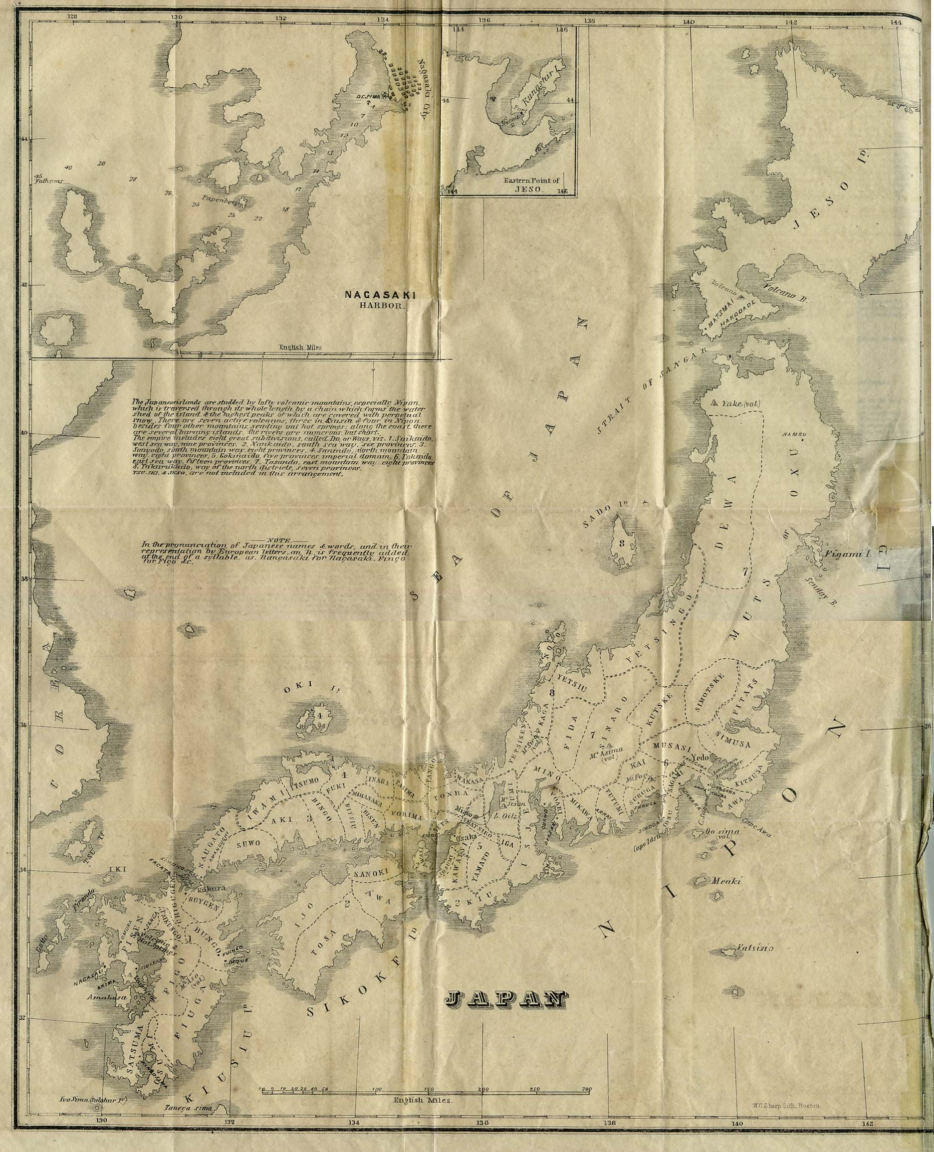
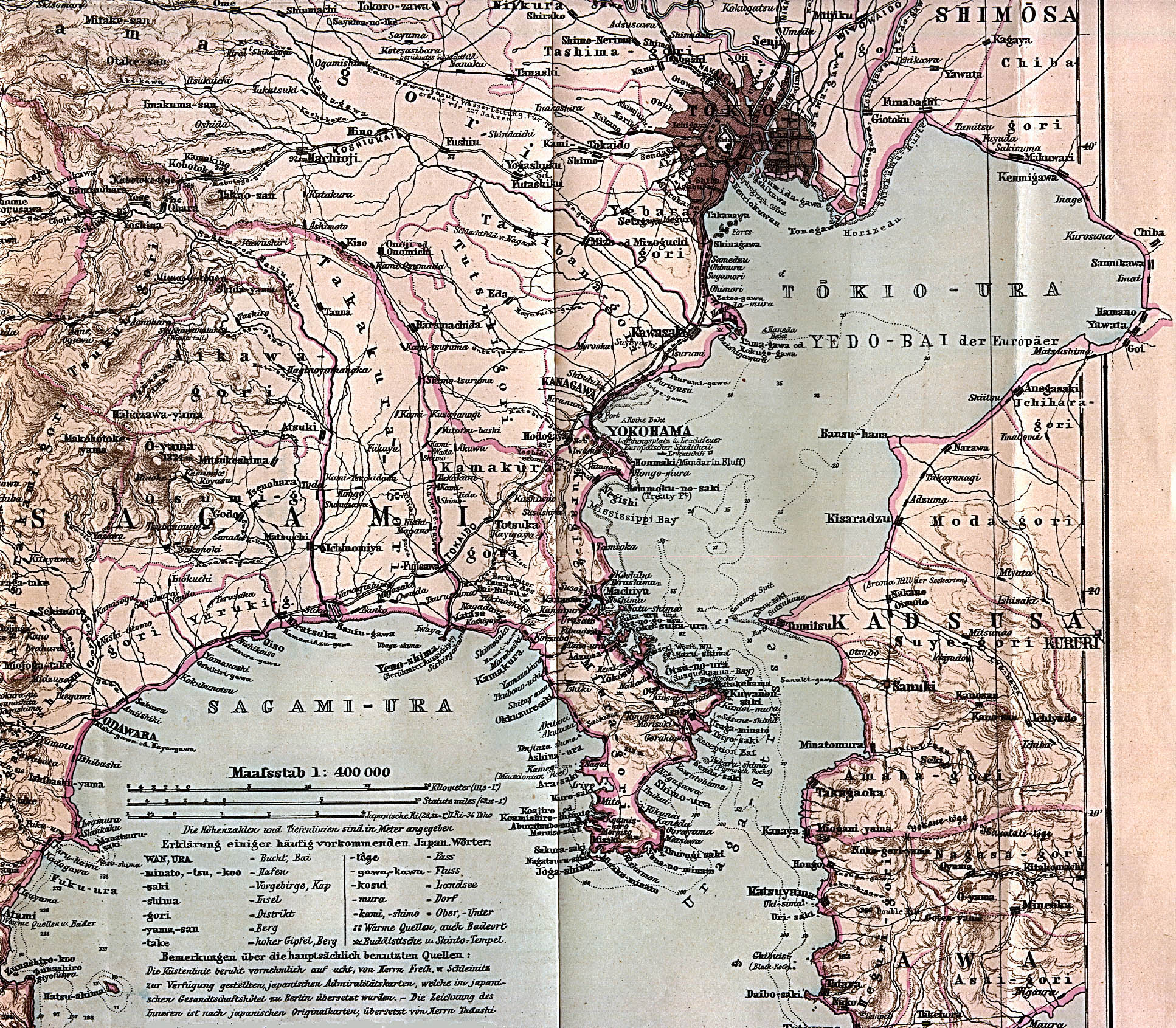
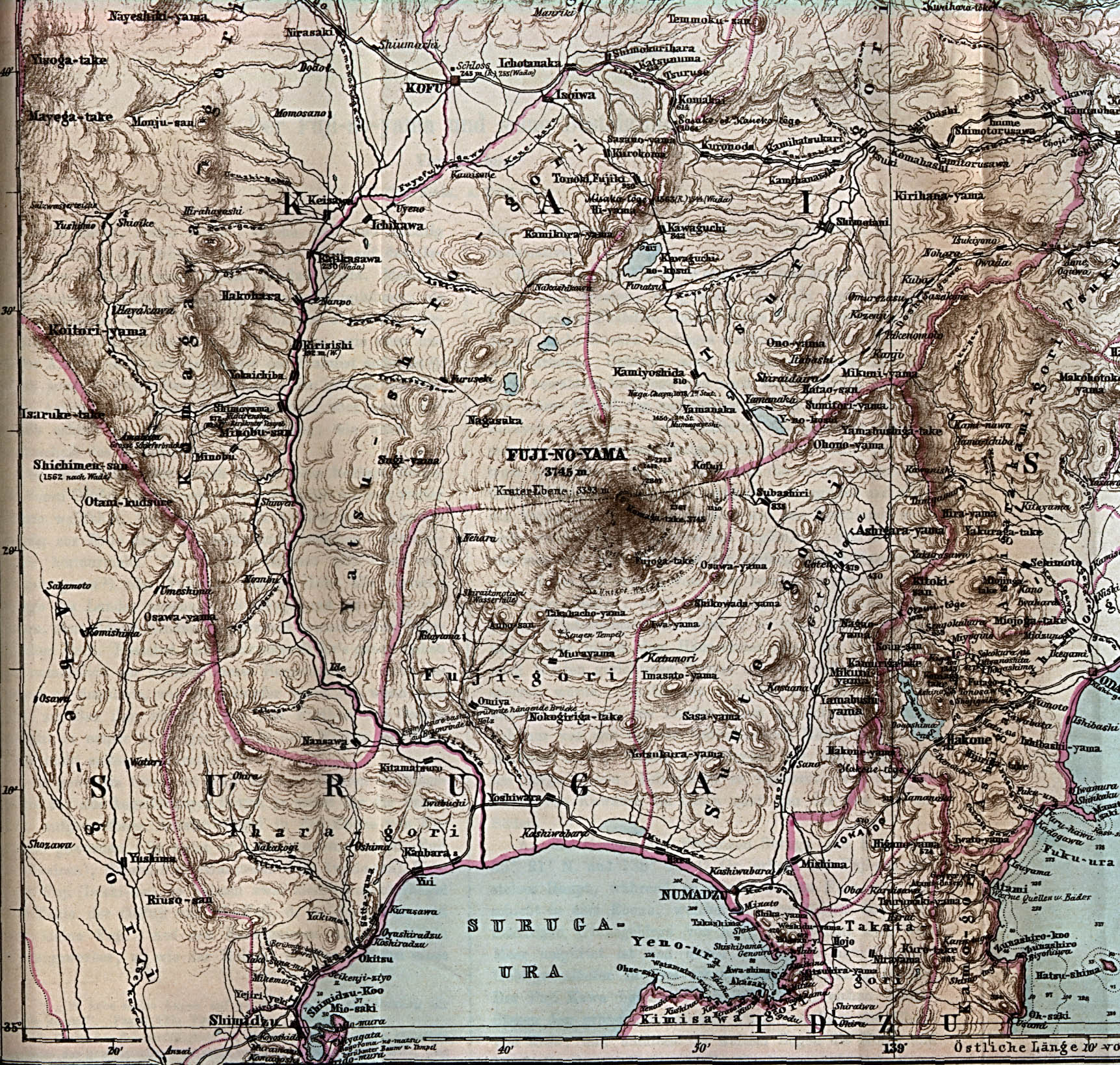
[edit] Japan
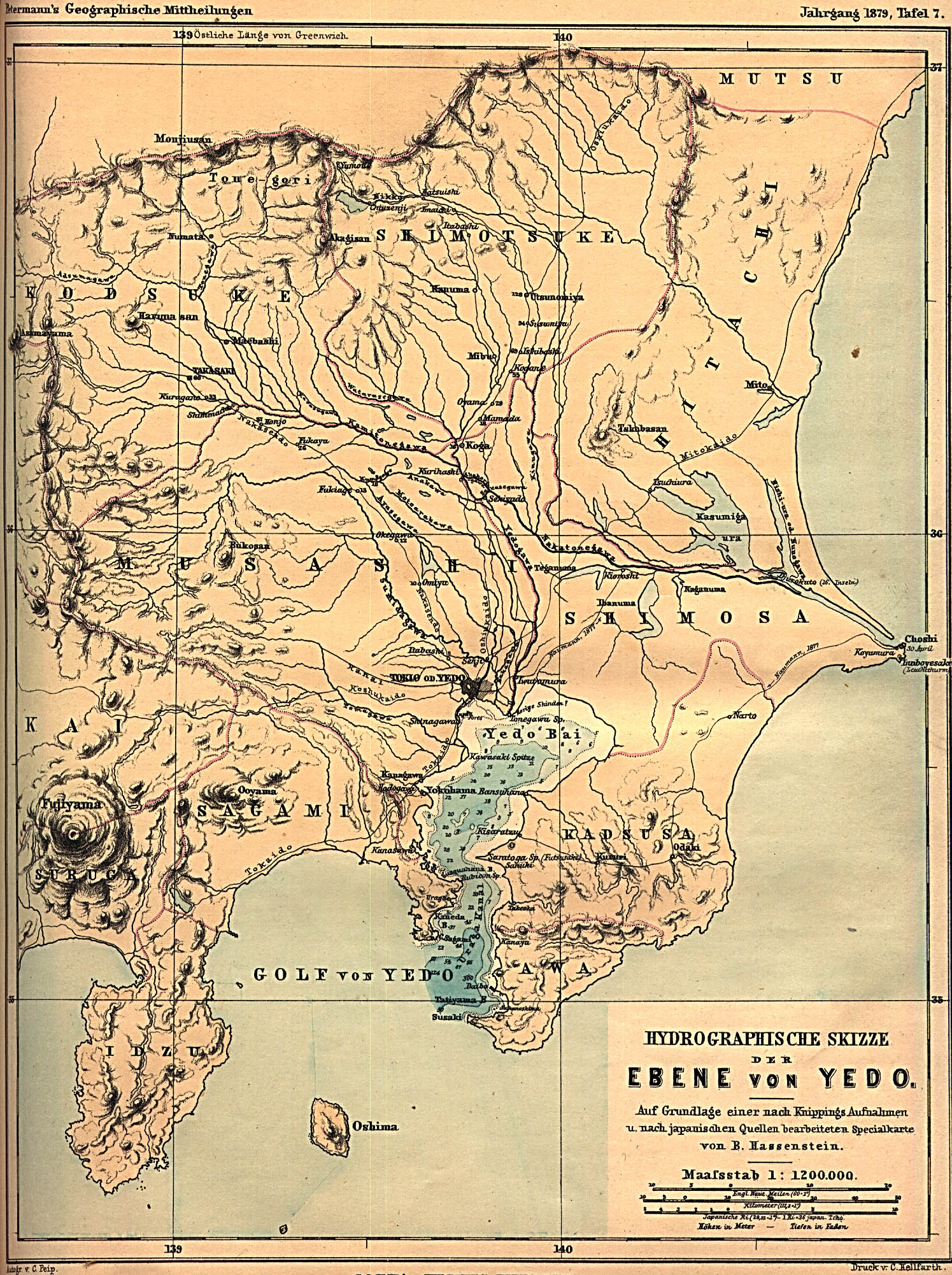
- Maps
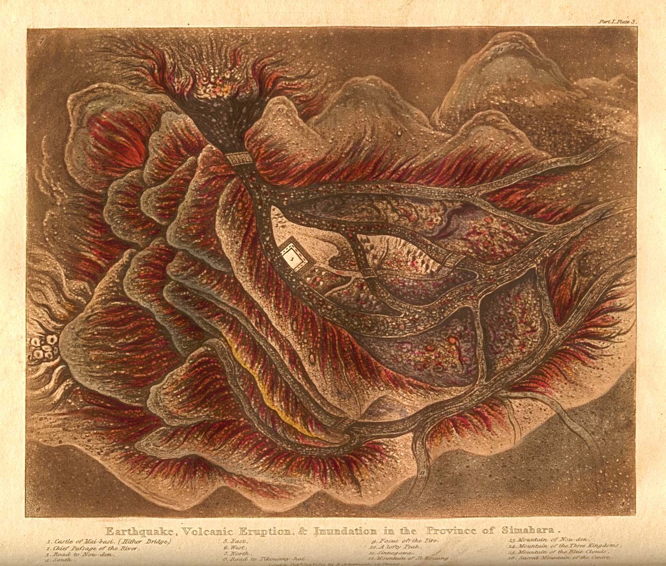
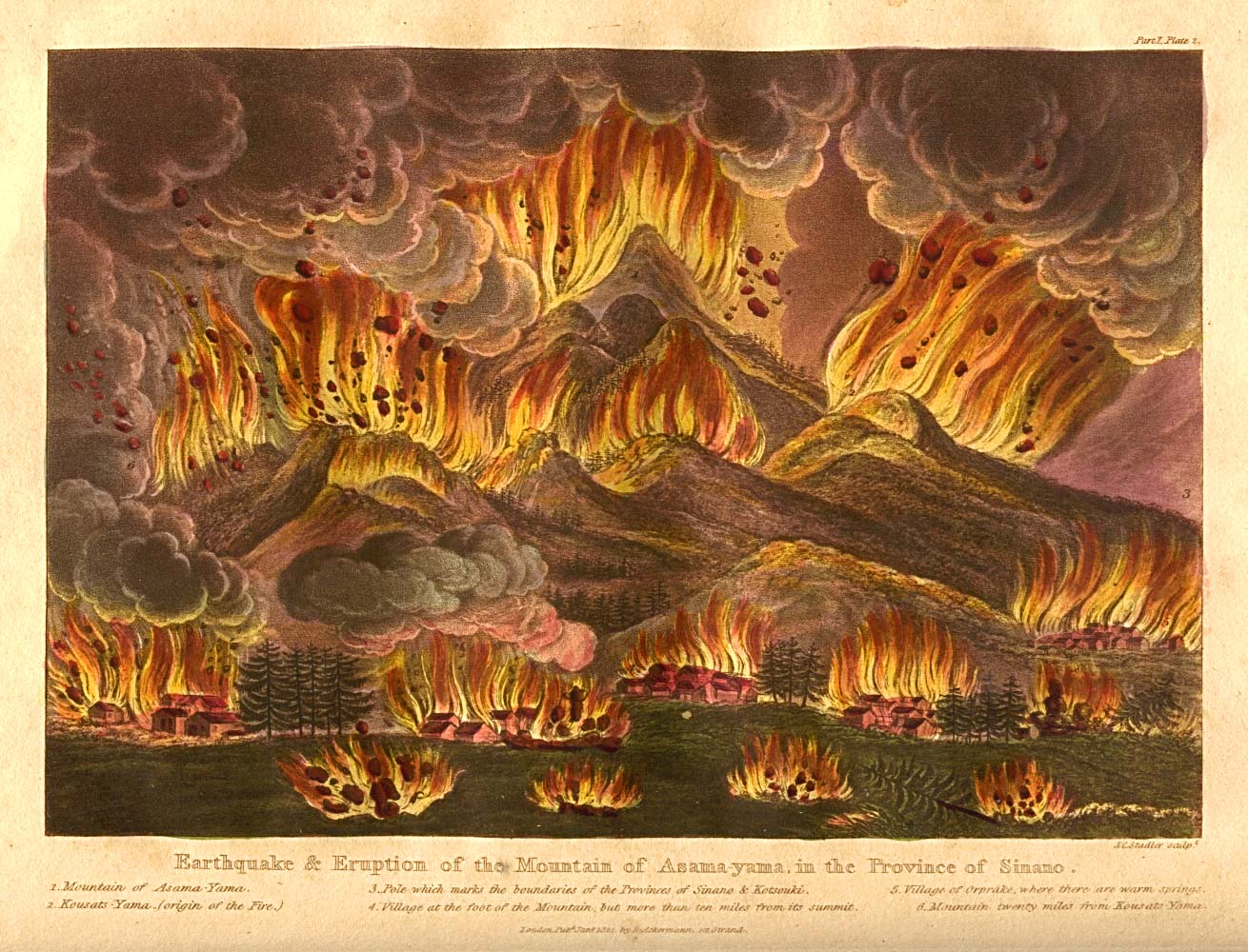
- Disasters
- Edo (Tokyo)
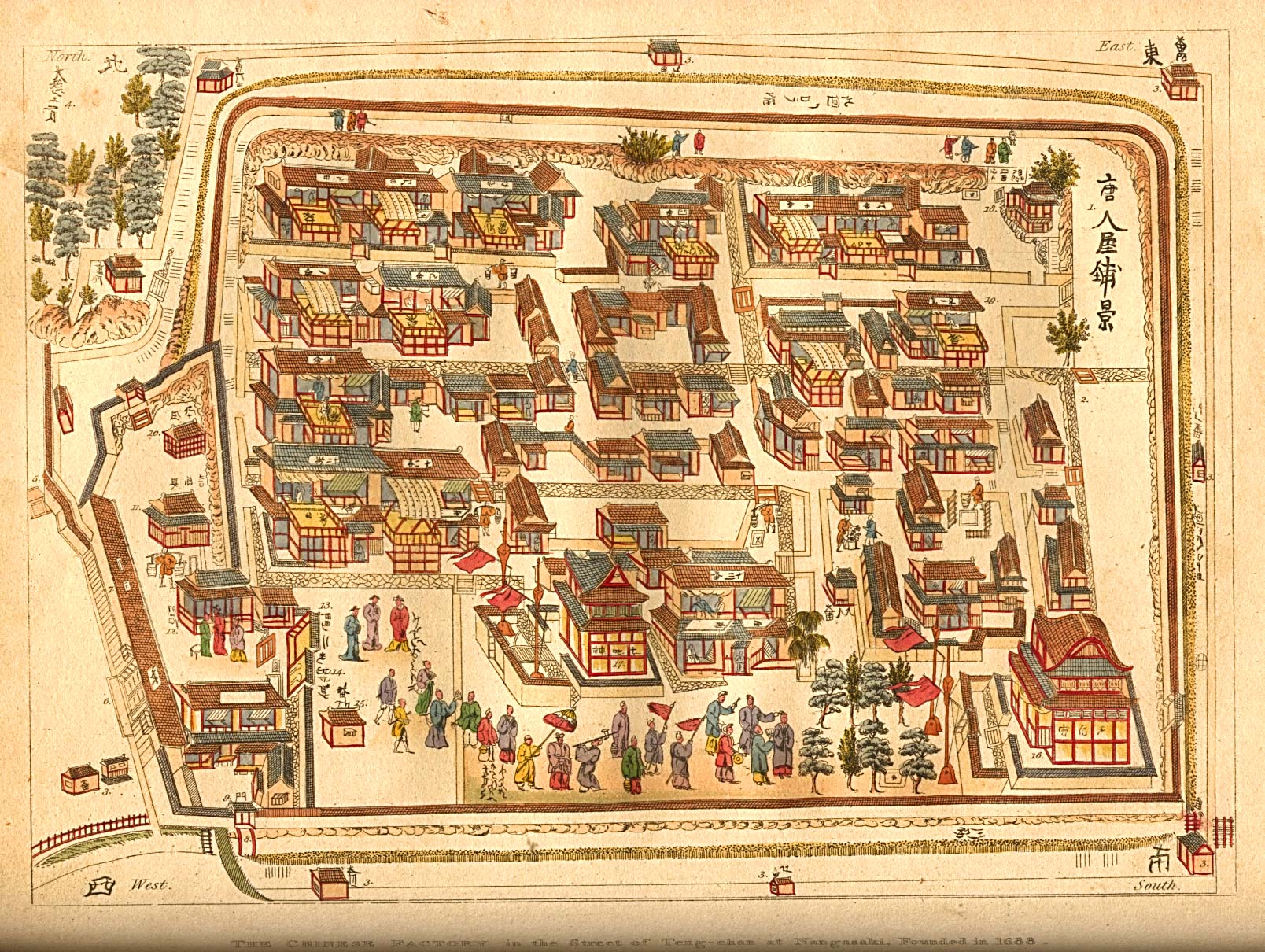
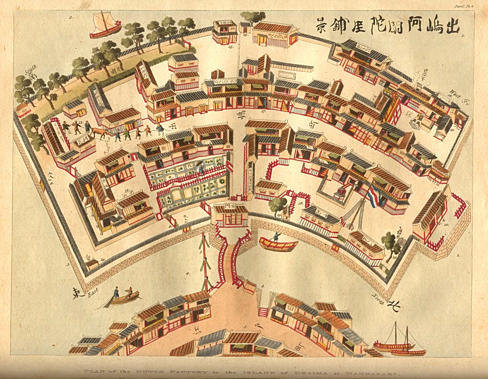
- Nagasaki
[edit] Malacca
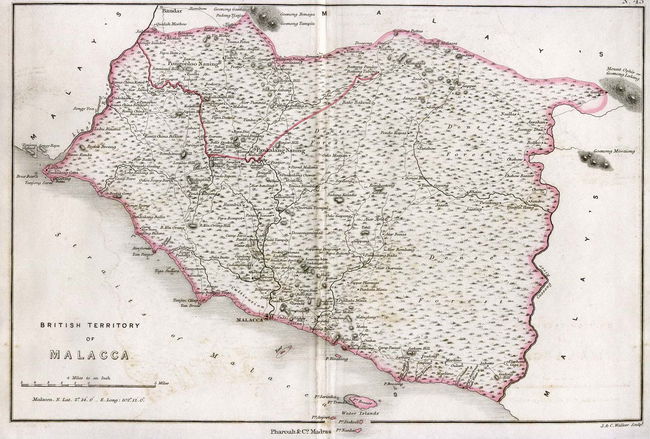
- Maps
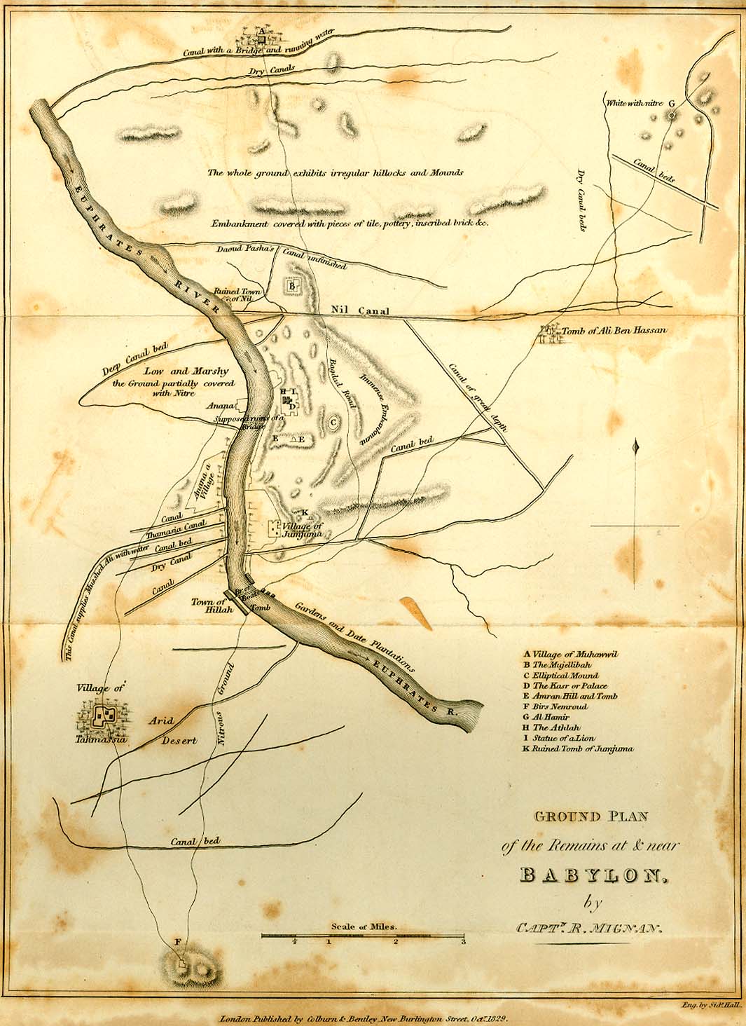
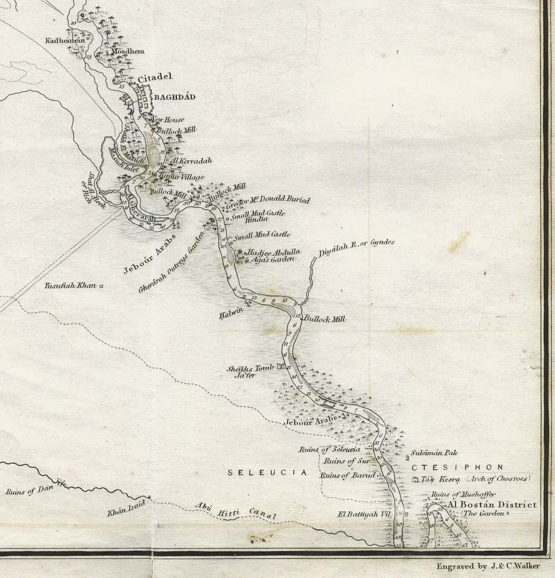
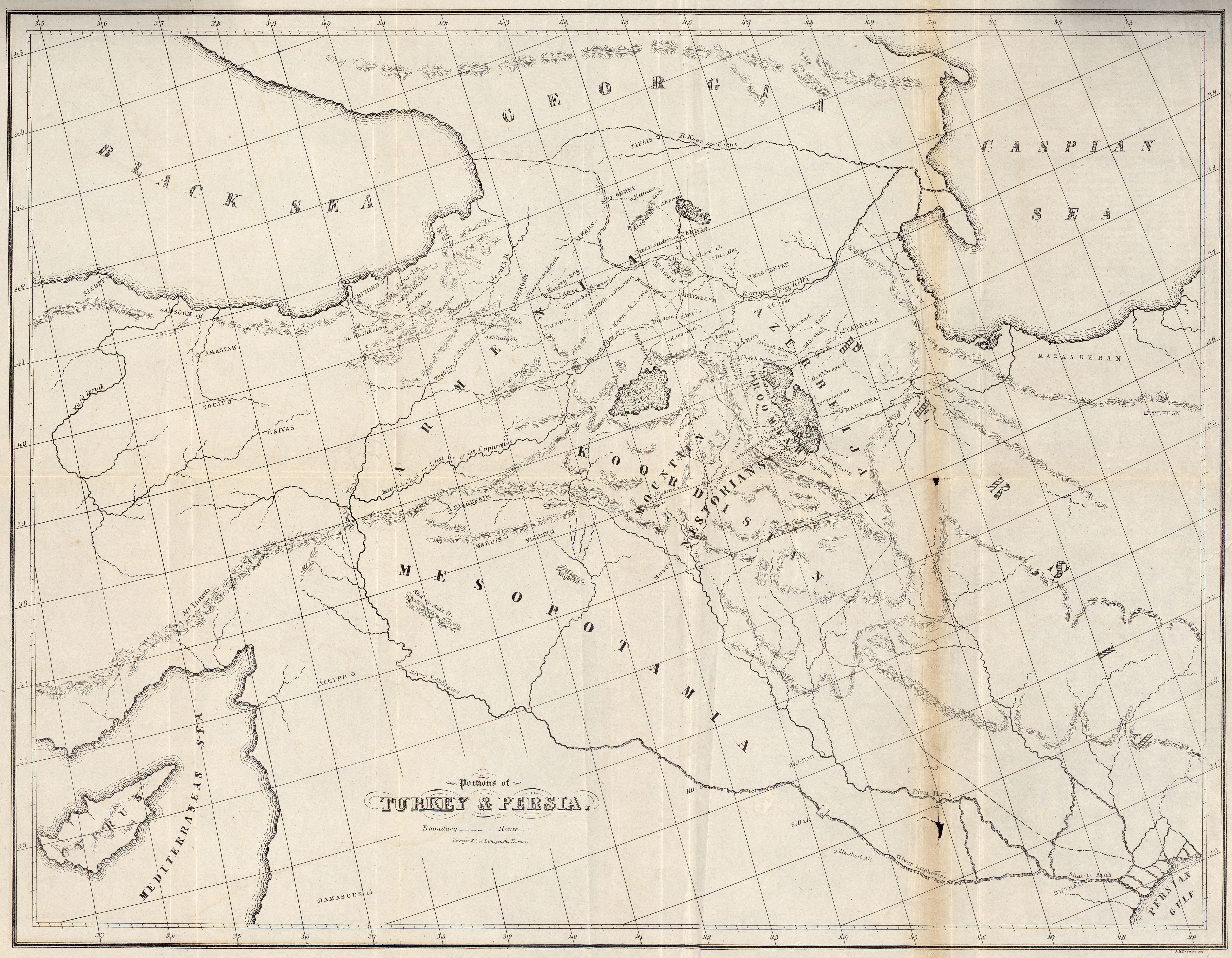
[edit] Mesopotamia
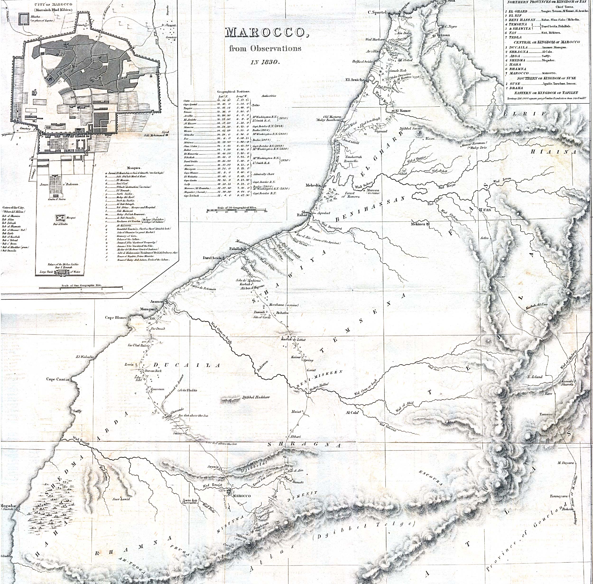
[edit] Morocco
[edit] Netherlands
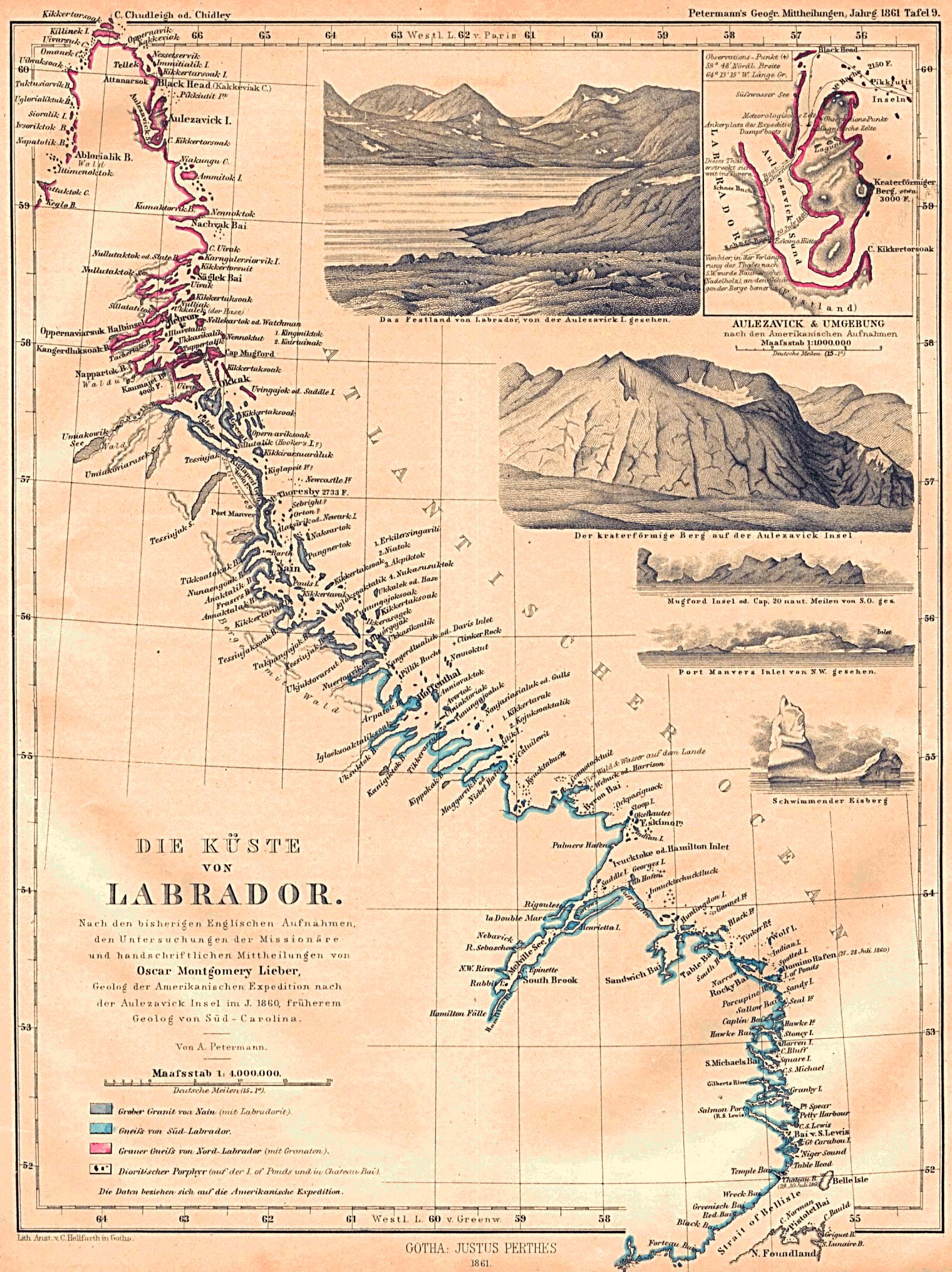
[edit] Newfoundland
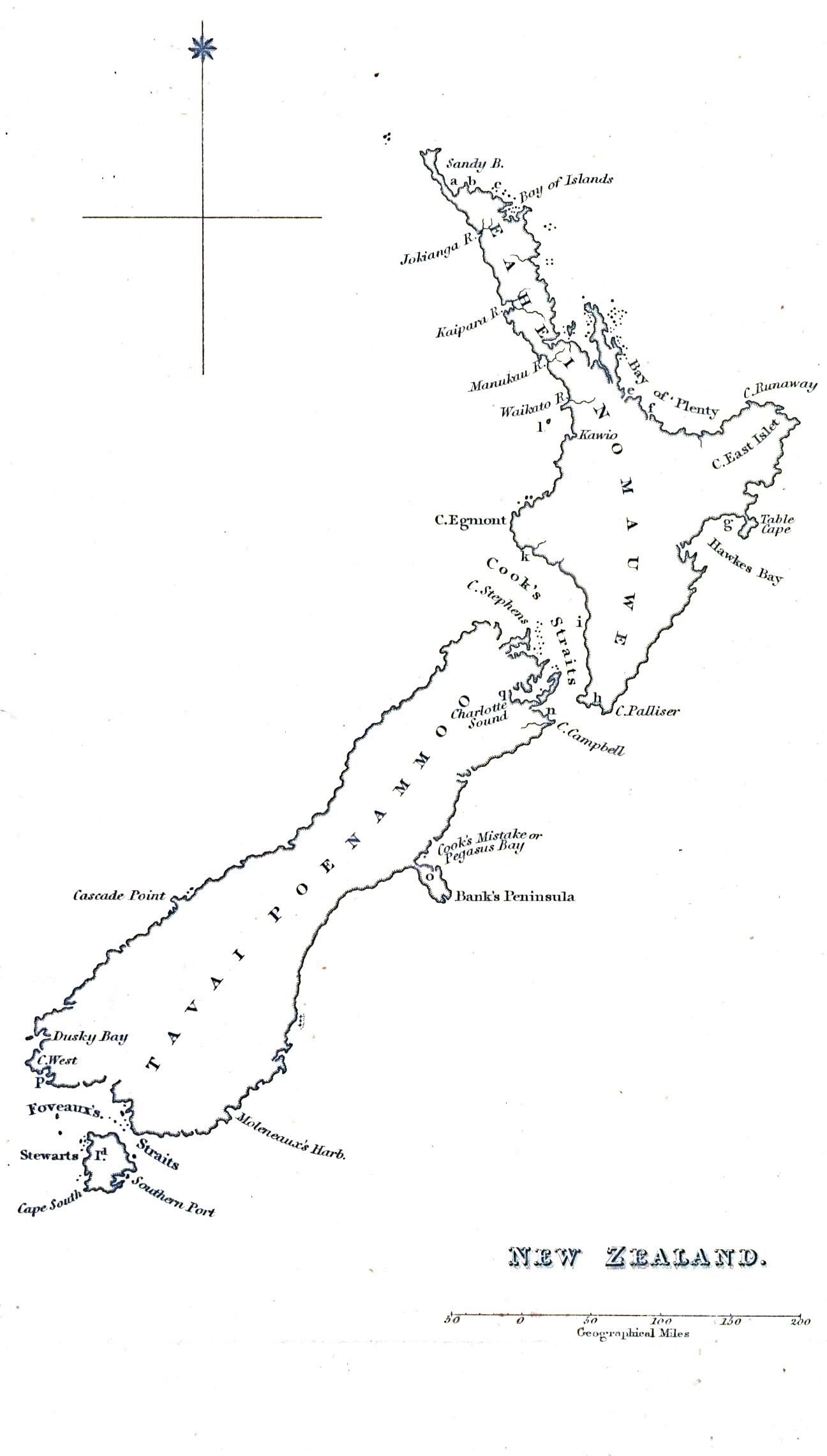
[edit] New Zealand
[edit] Norway
- Kristiania (Oslo)
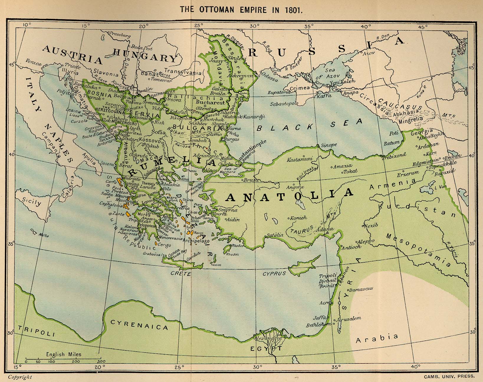
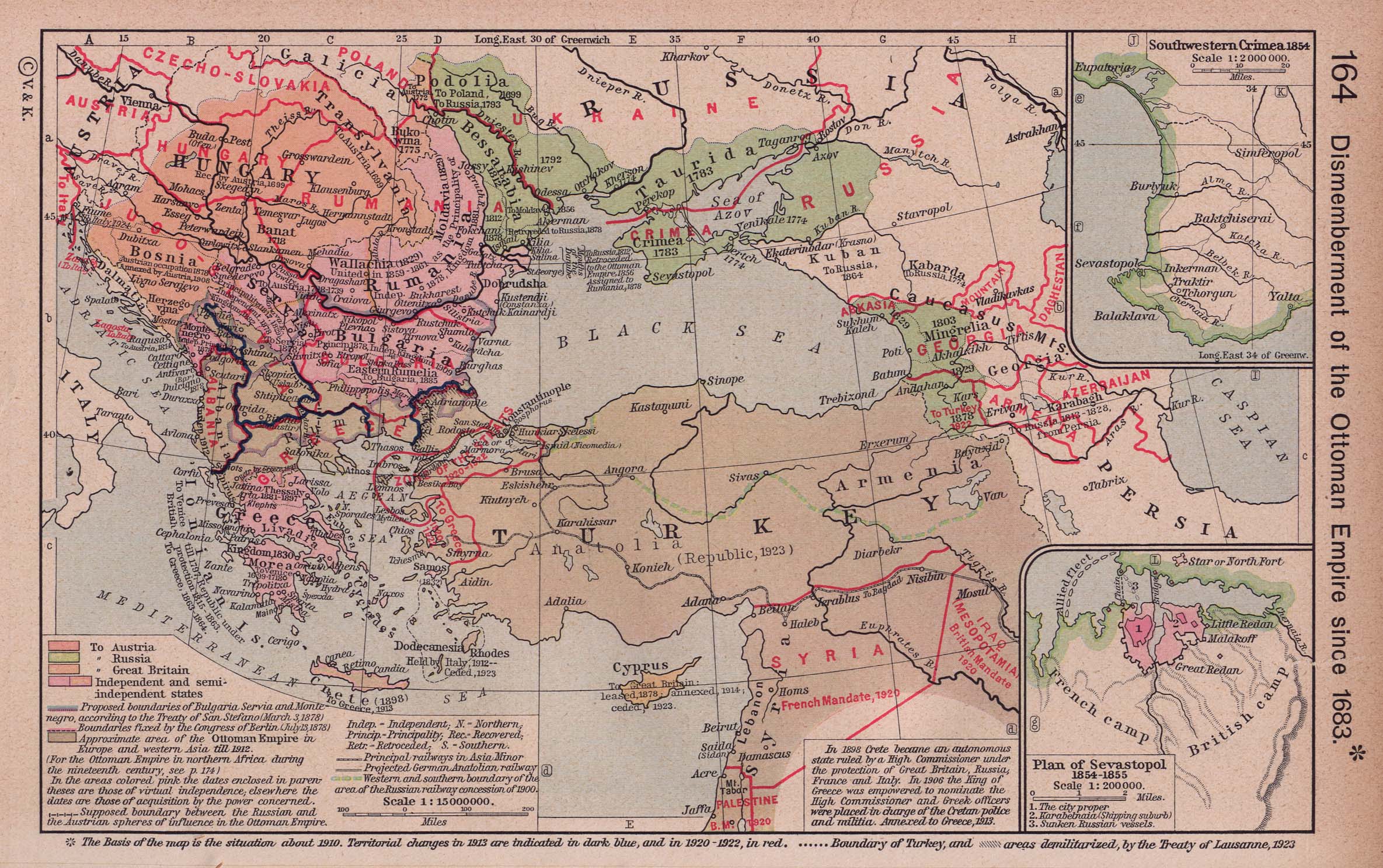
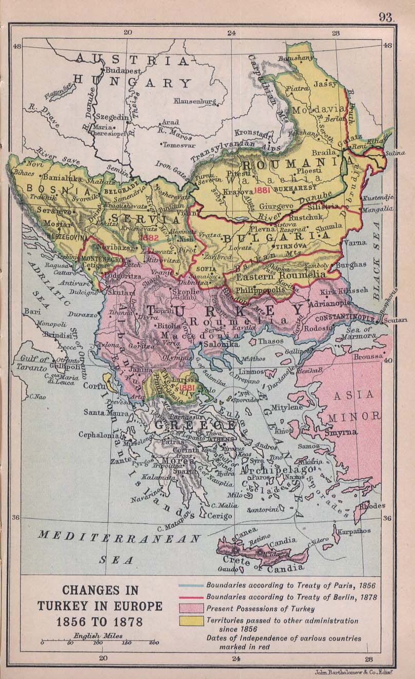
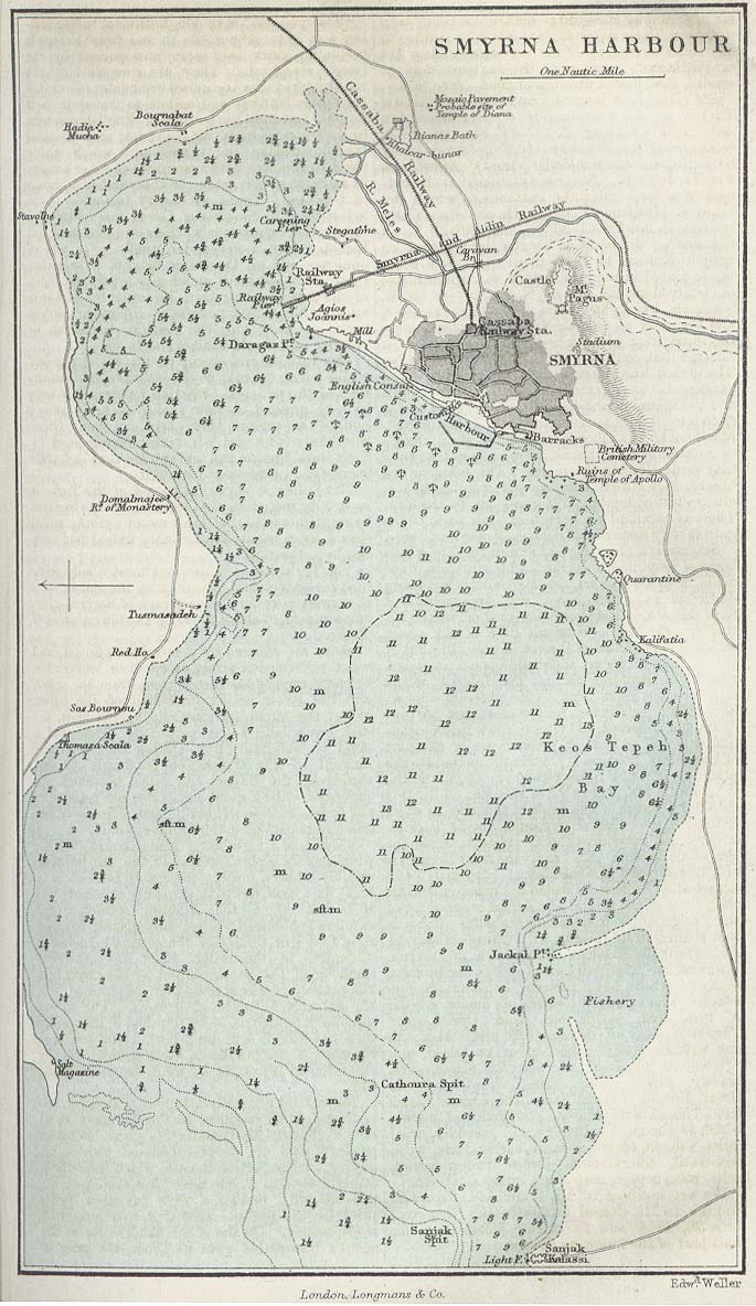
[edit] Ottoman Empire
- Maps
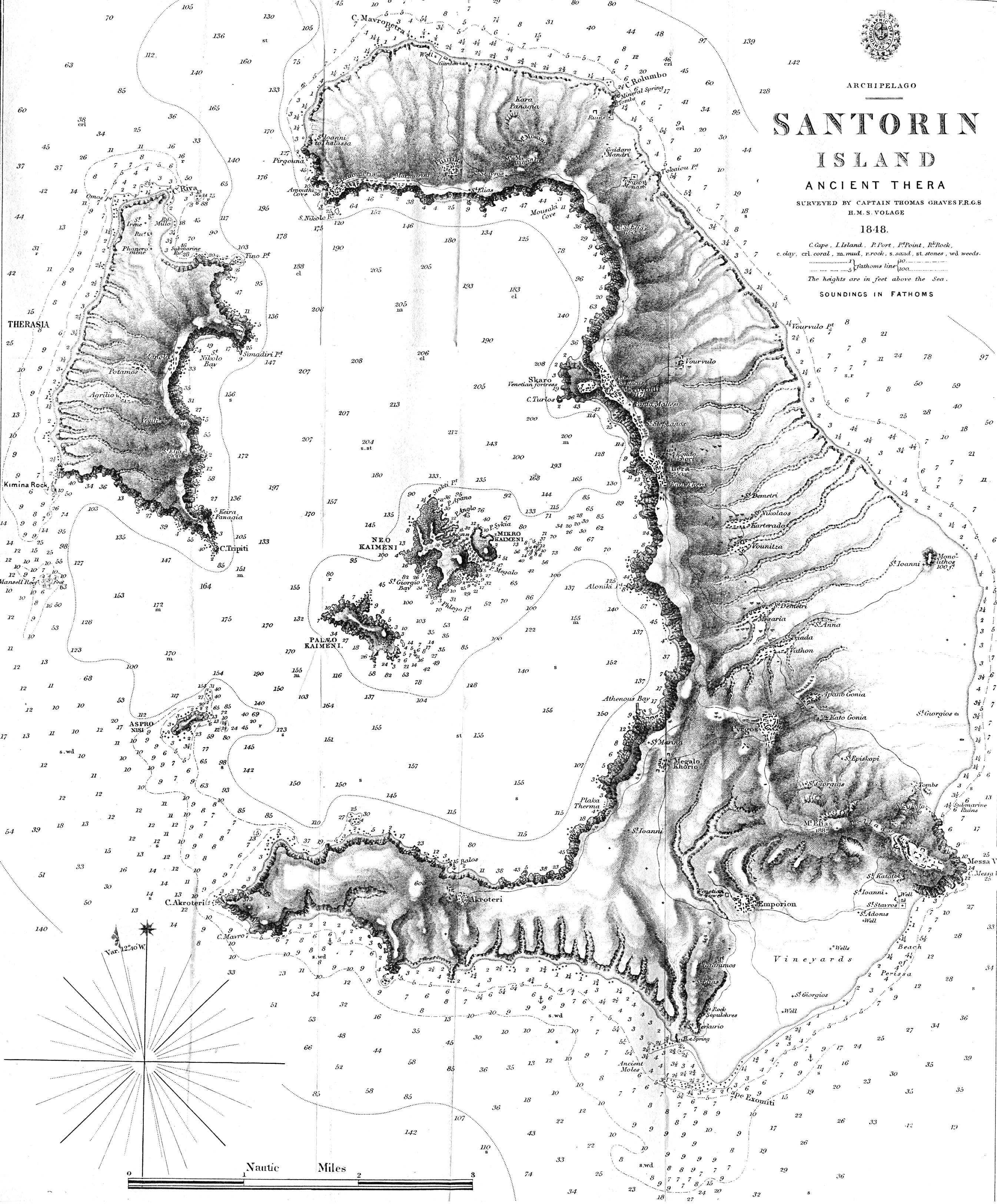
- Islands
- Cities
[edit] Palestine
- Cities==
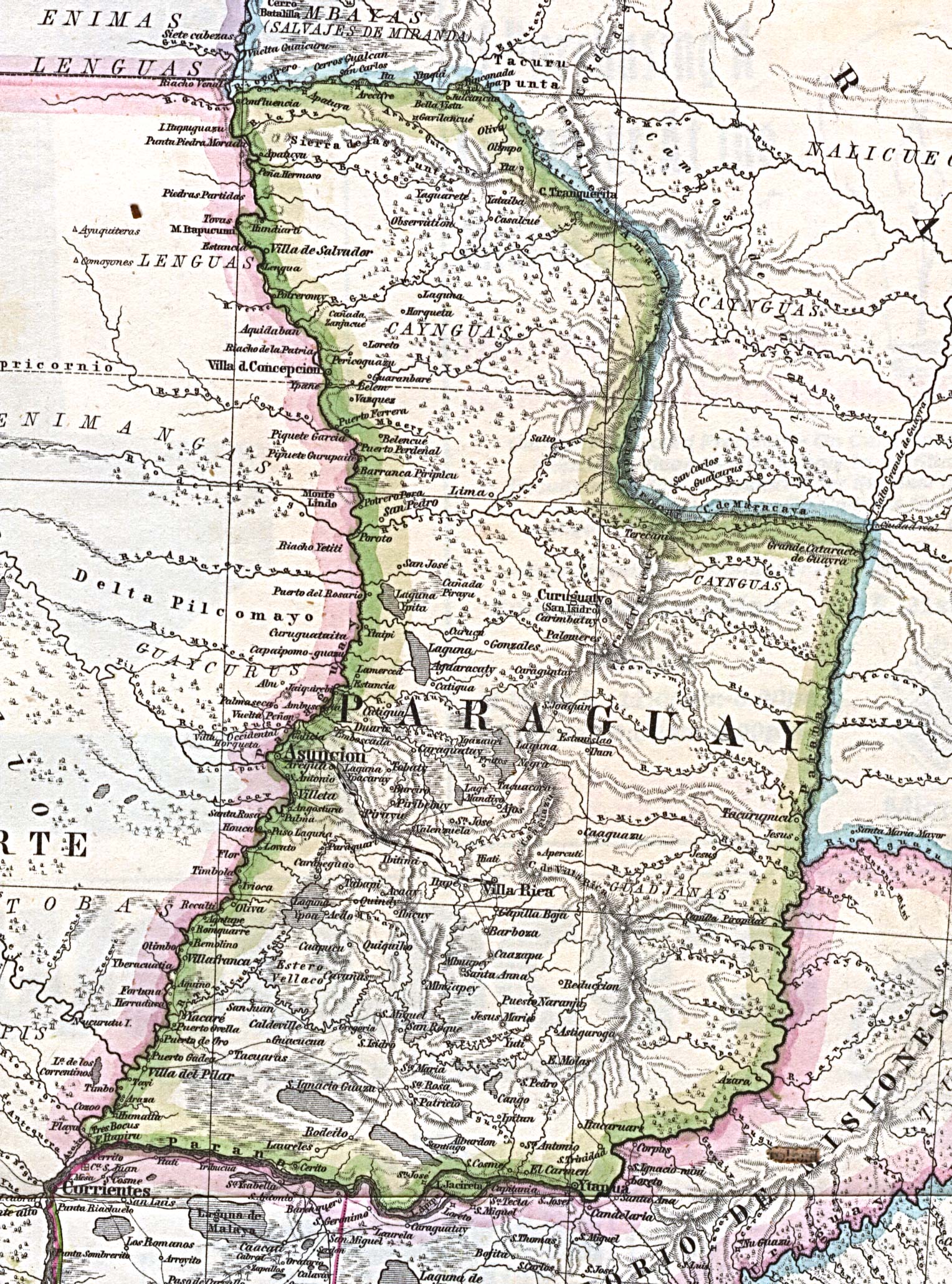
[edit] Paraguay
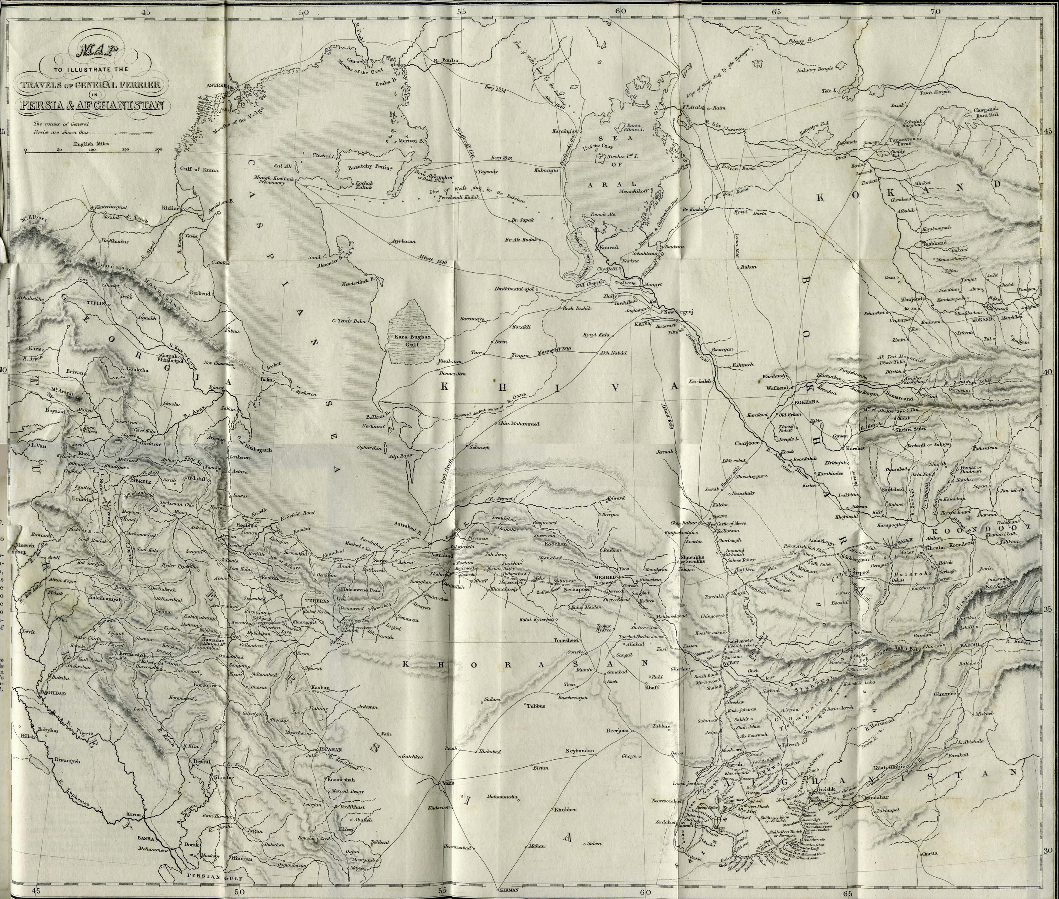
[edit] Persia
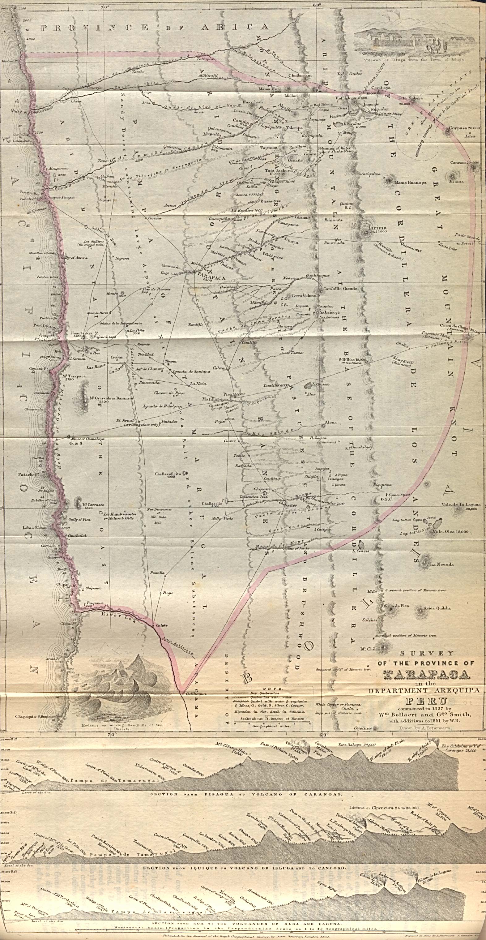
[edit] Peru
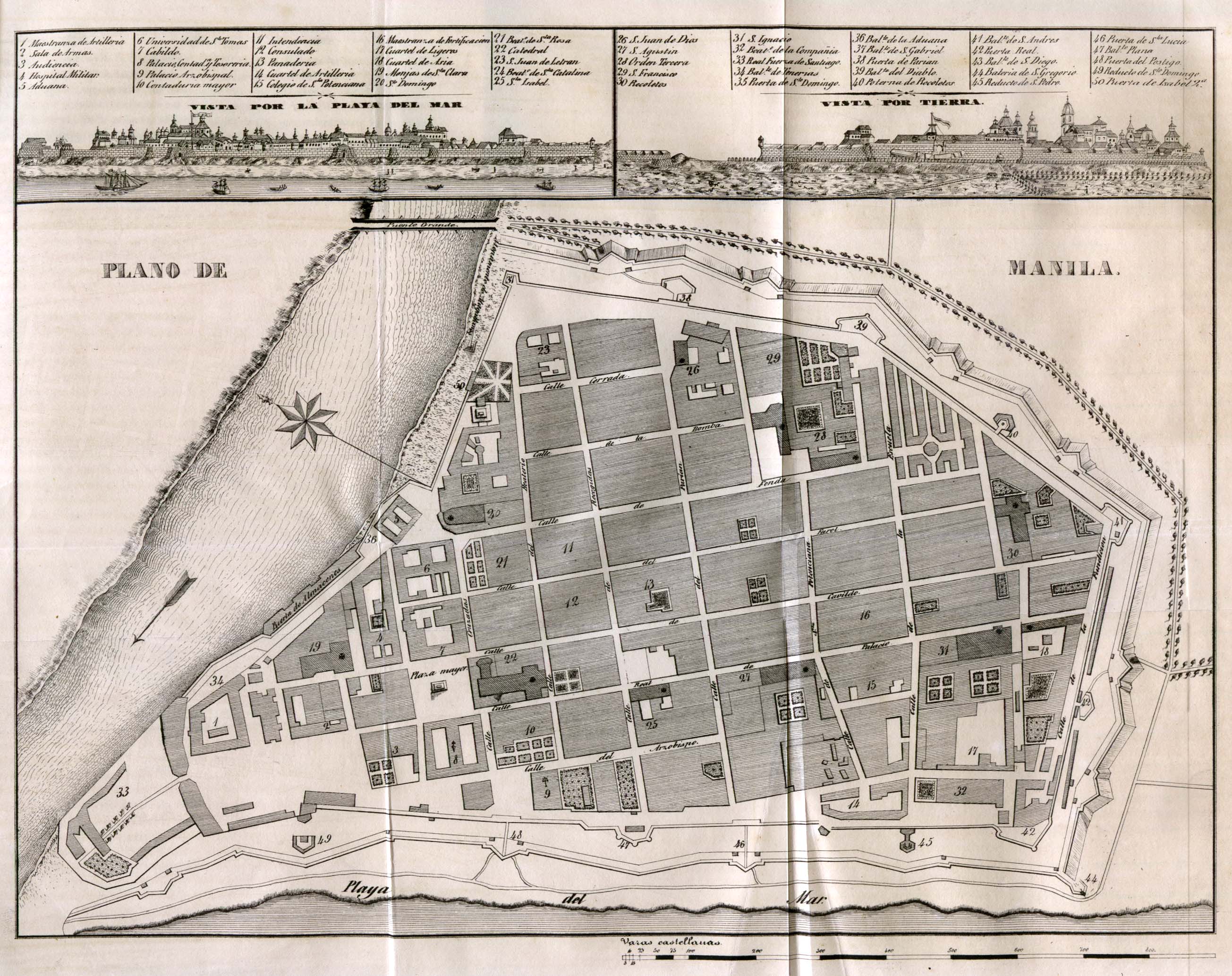
[edit] Philippines
- Maps
- Cities
[edit] American Polynesia
[edit] Portugal
[edit] Romania
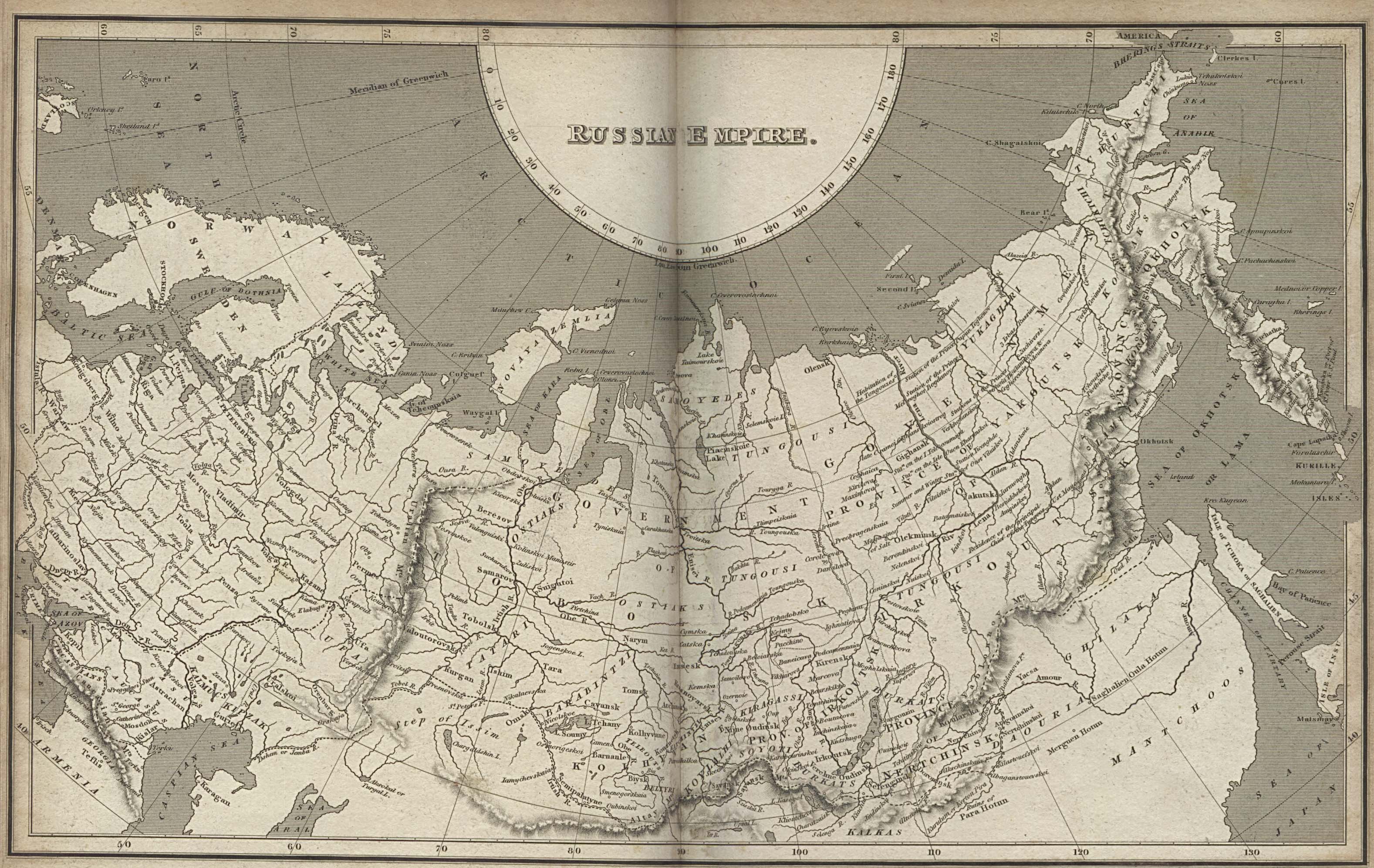
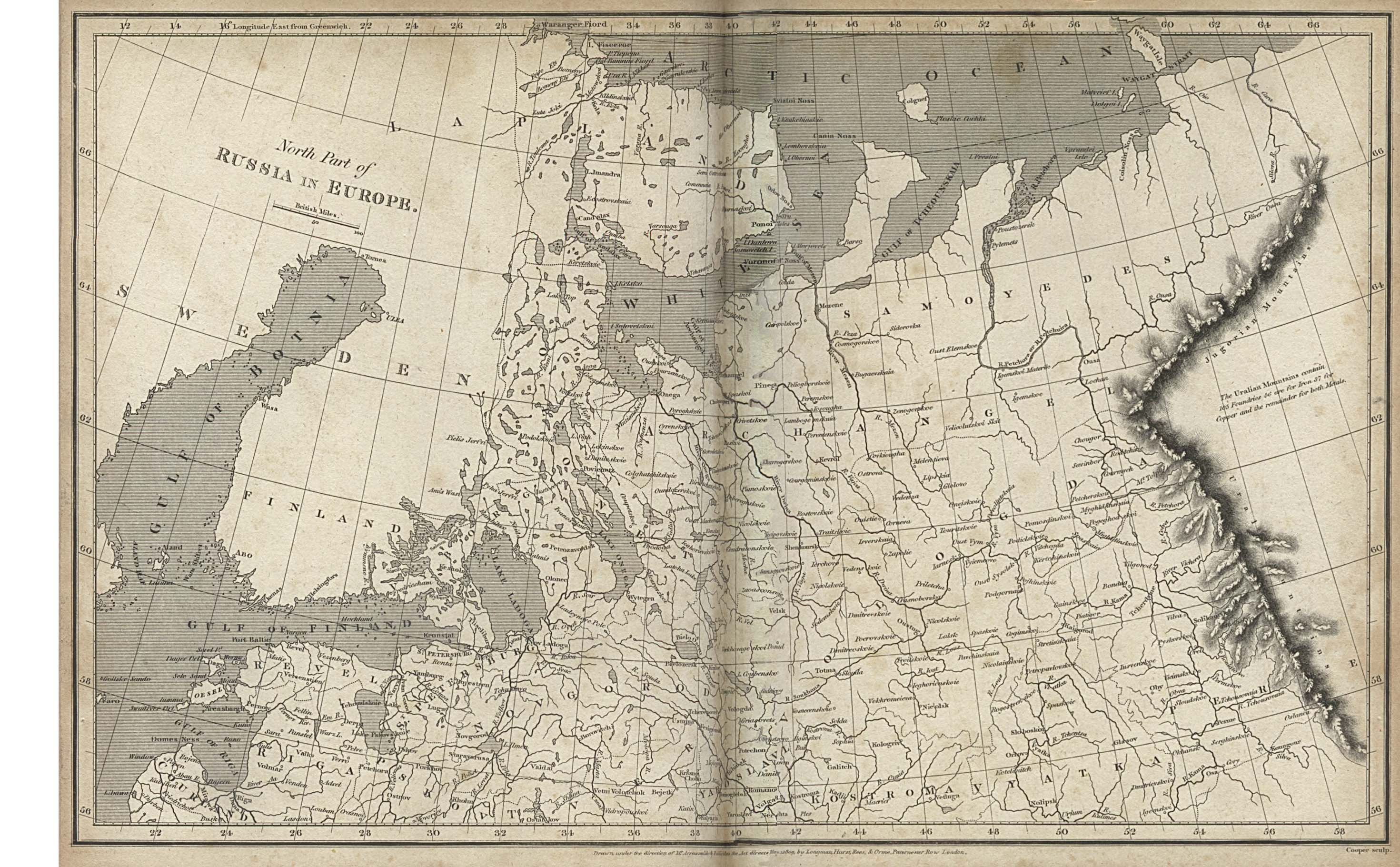
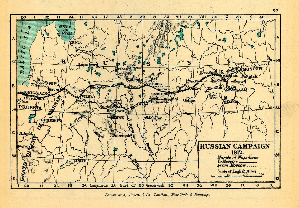
[edit] Russian Empire
- Maps
- Napoleonic Wars
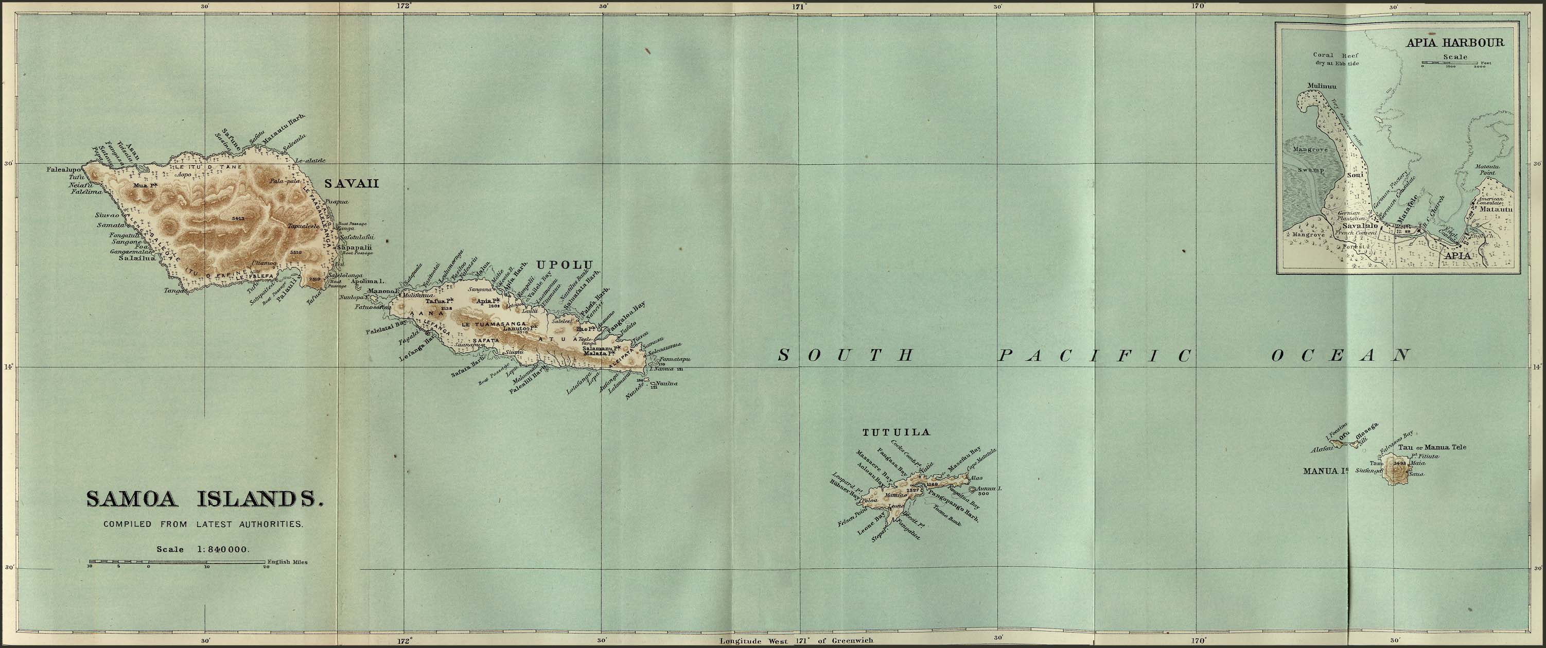
[edit] Samoa
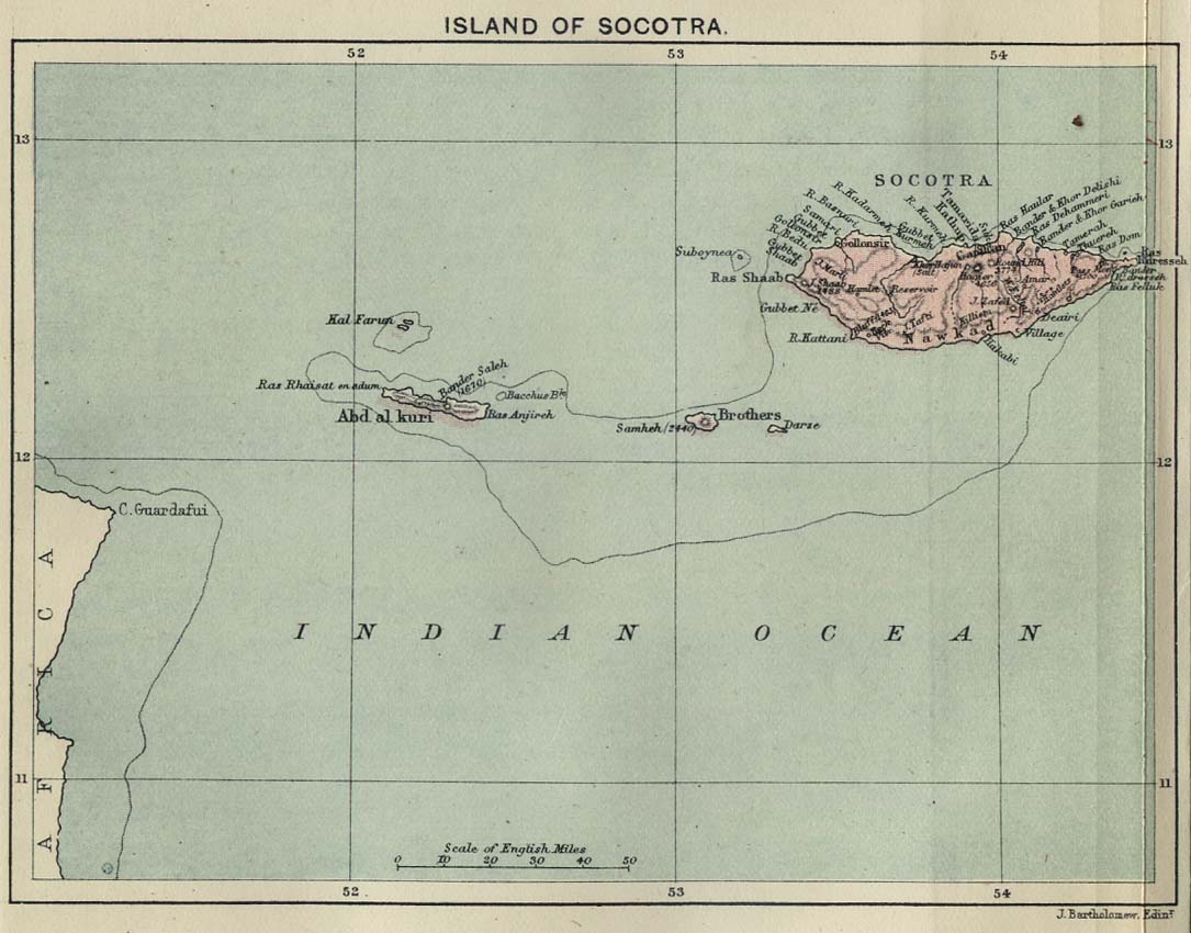
[edit] Socotra
- Maps
[edit] Somaliland
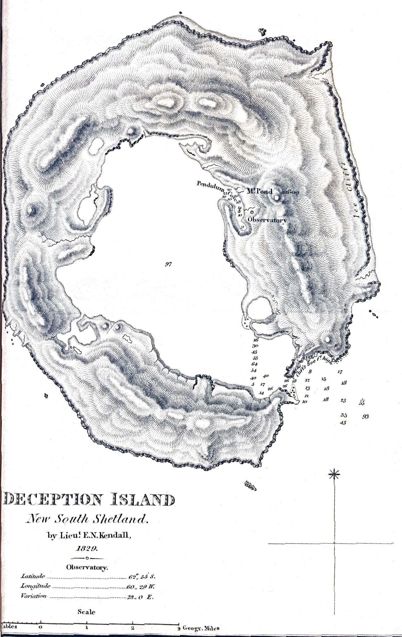
[edit] South Shetland Islands
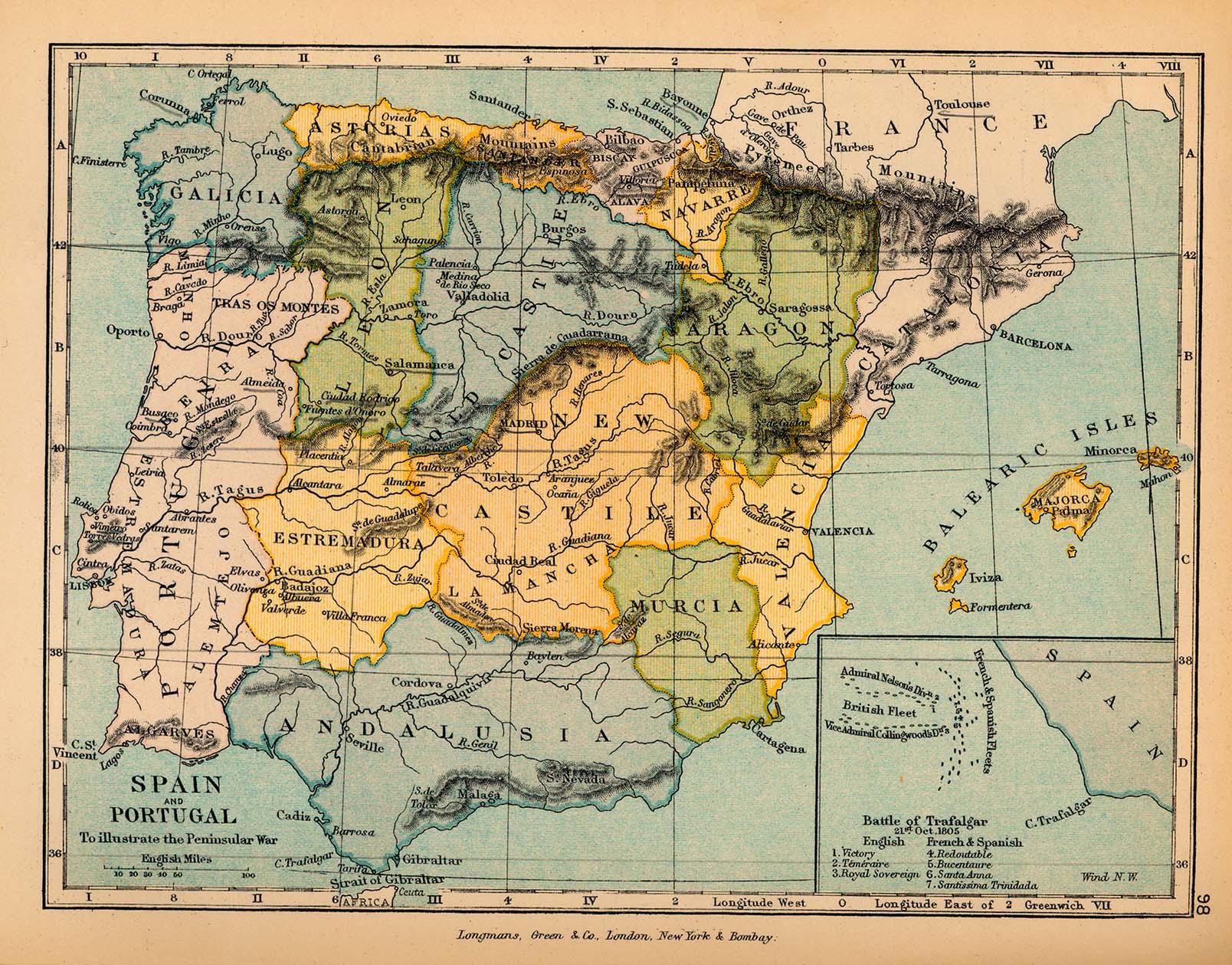
[edit] Spain
[edit] Switzerland
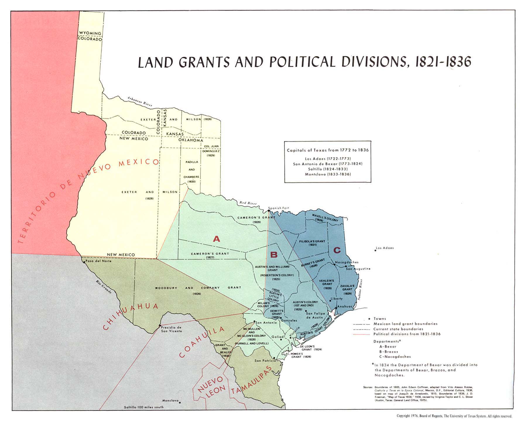
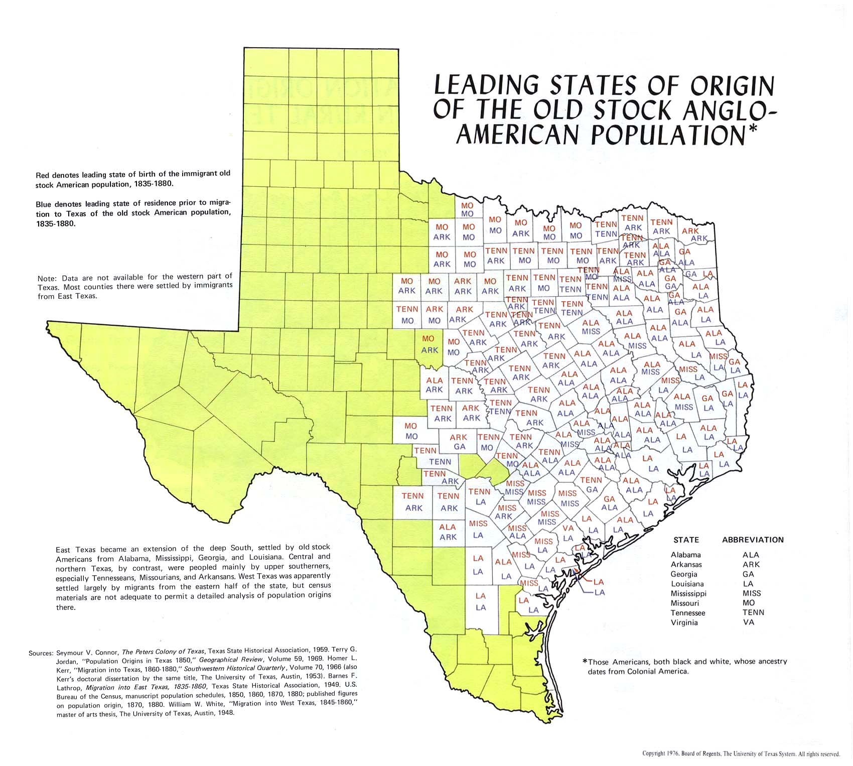
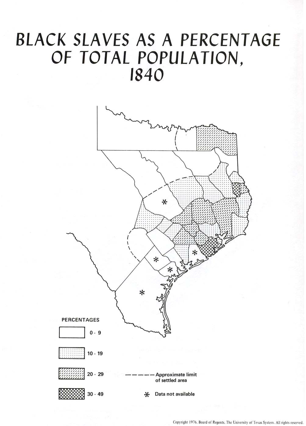
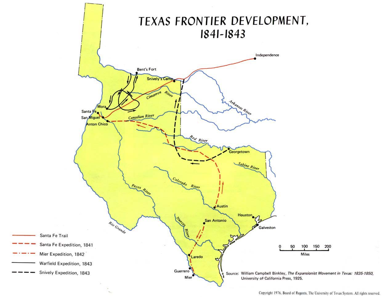
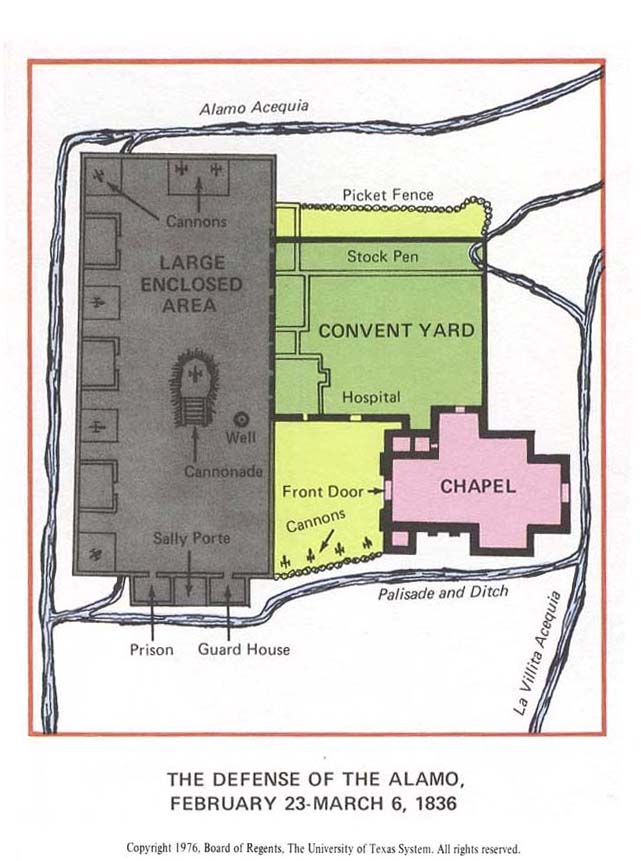
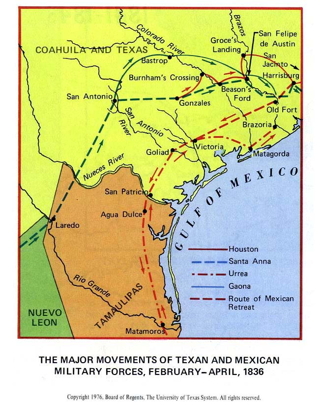
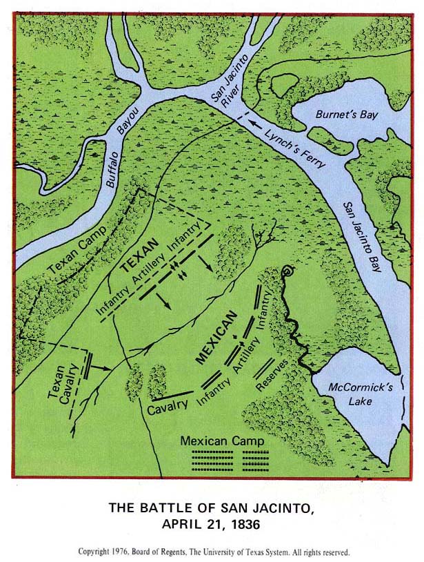
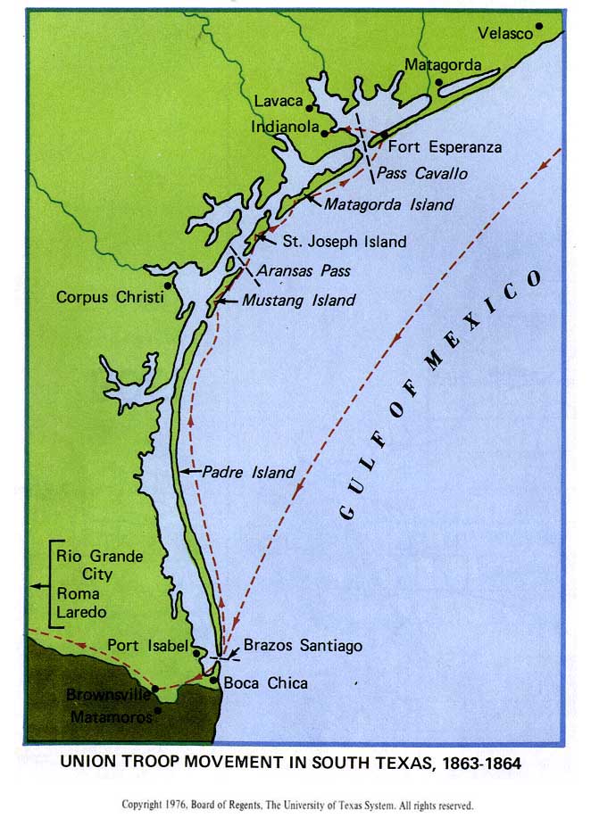
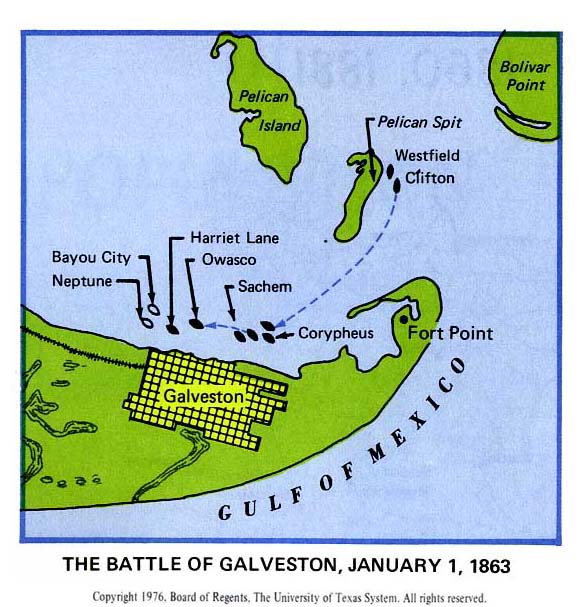
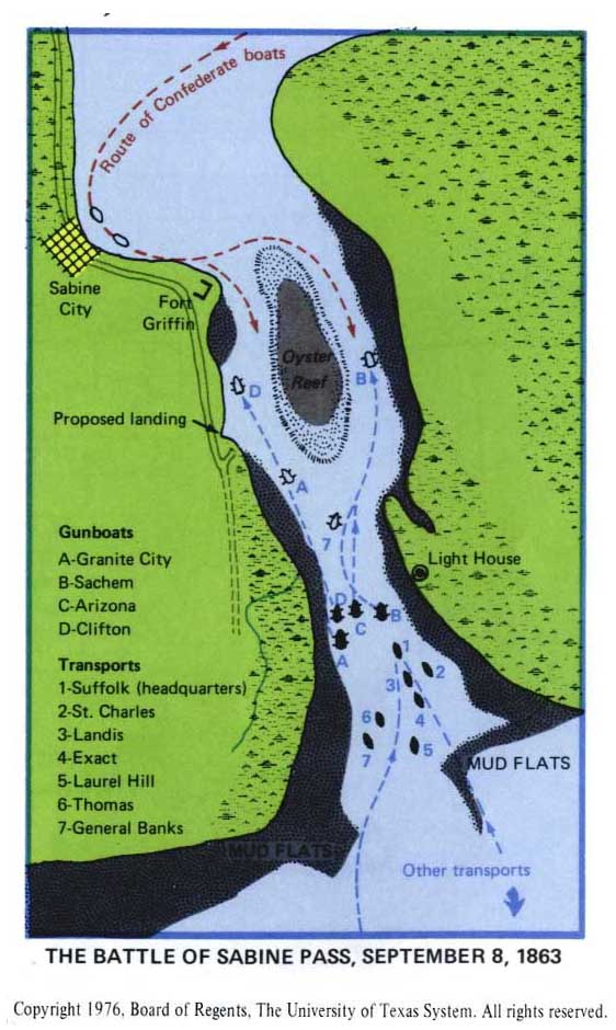
[edit] Texas
- Maps
- Texan Revolution, 1836
- Austin
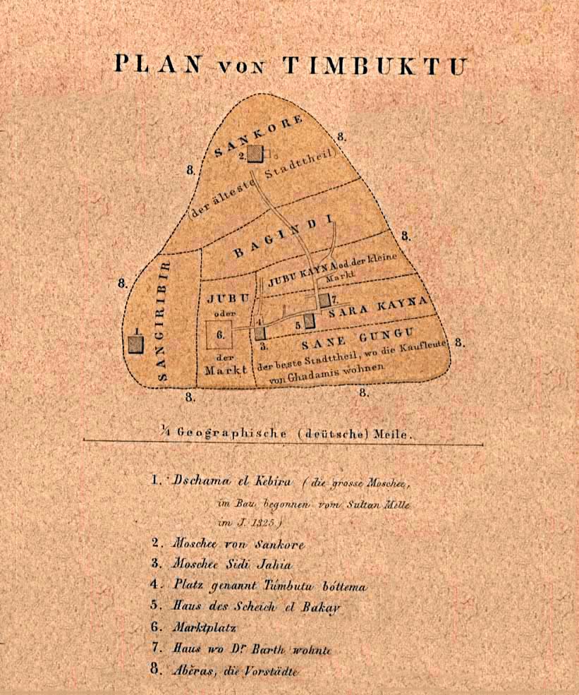
[edit] Timbuktu
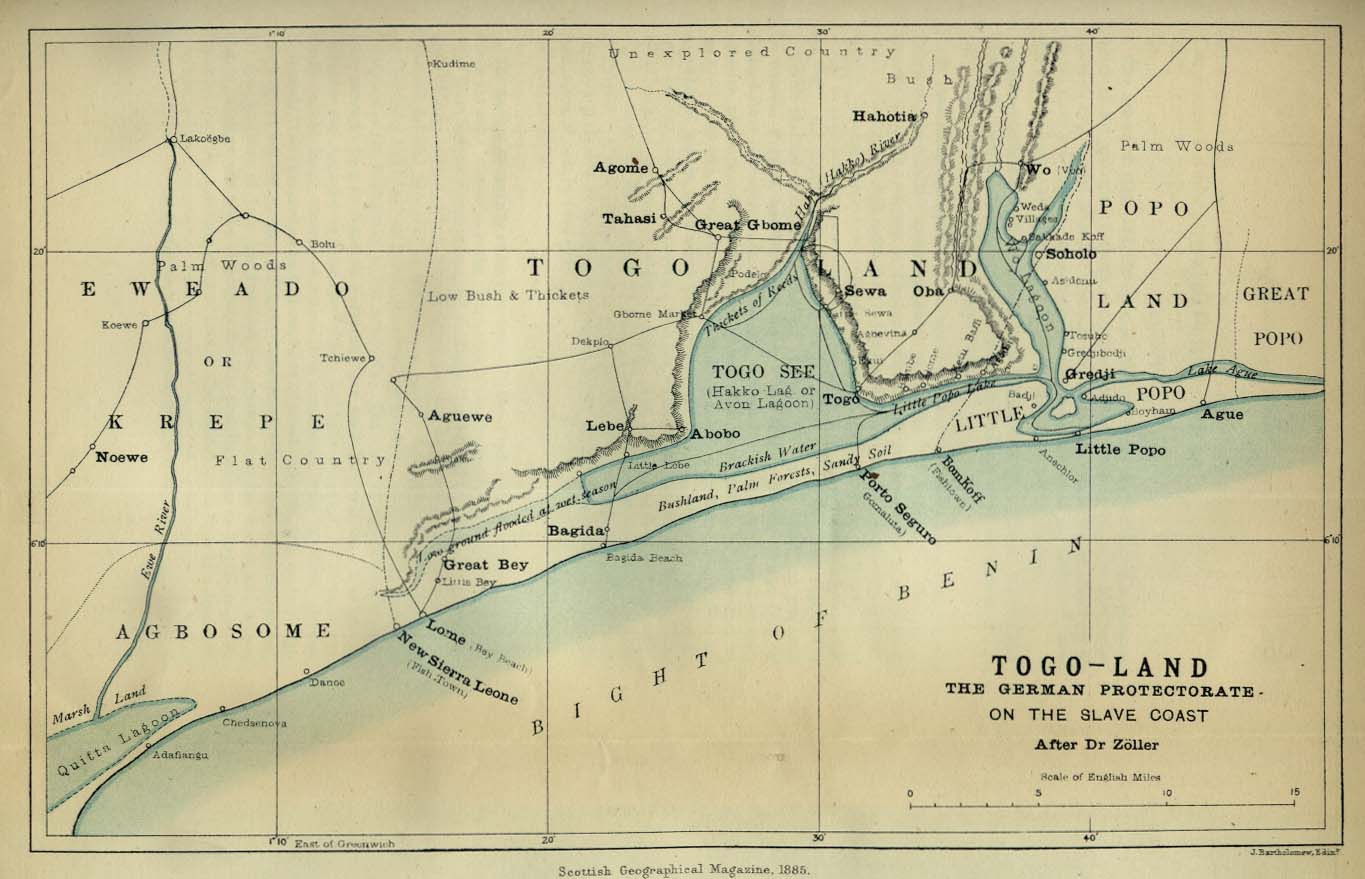
[edit] Togoland
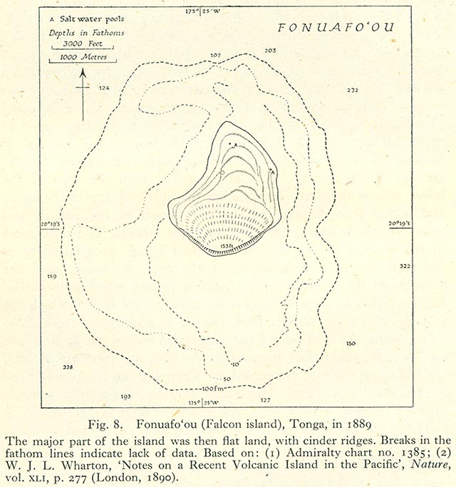
[edit] Tonga
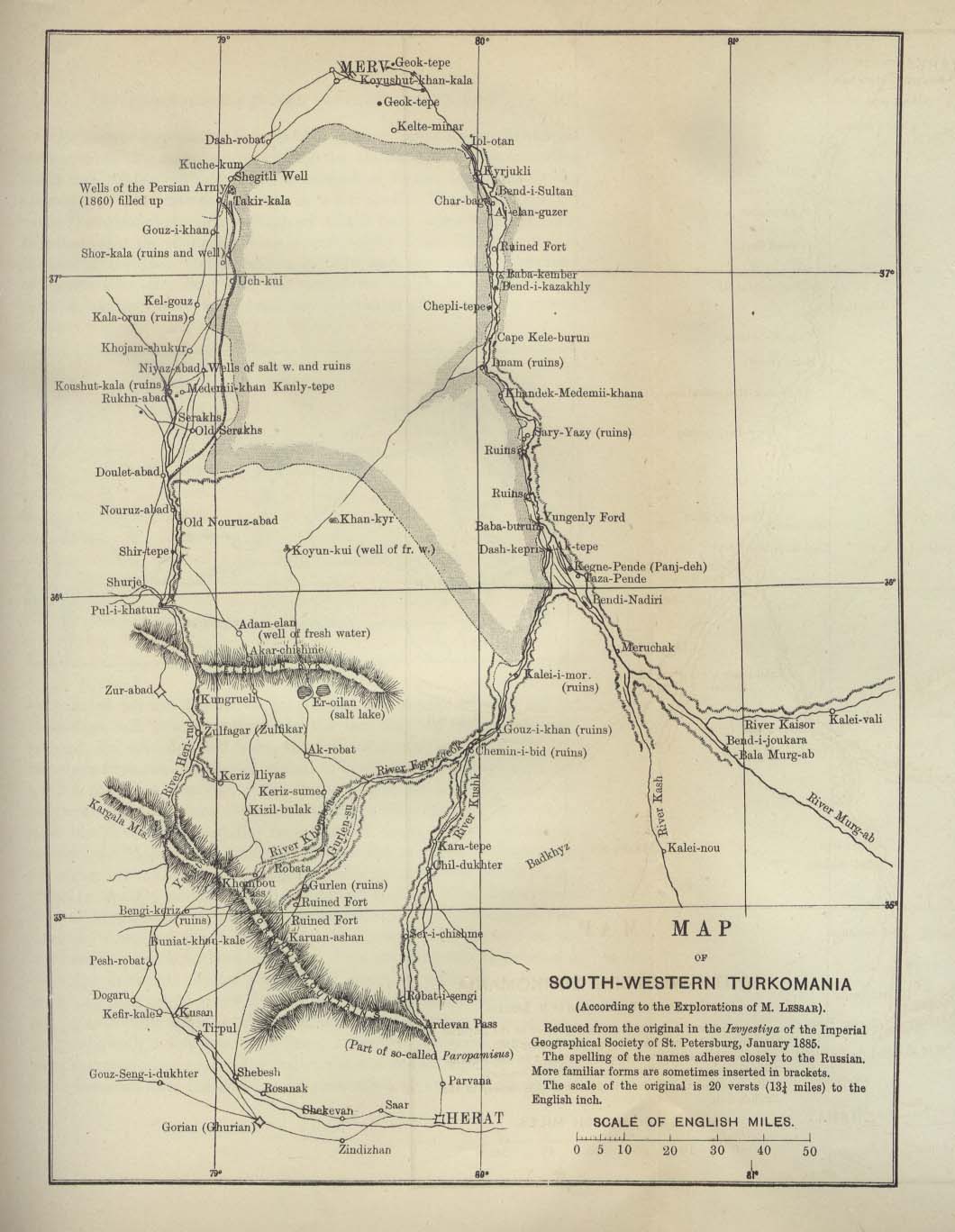
[edit] Turkmania (Turkmenistan)
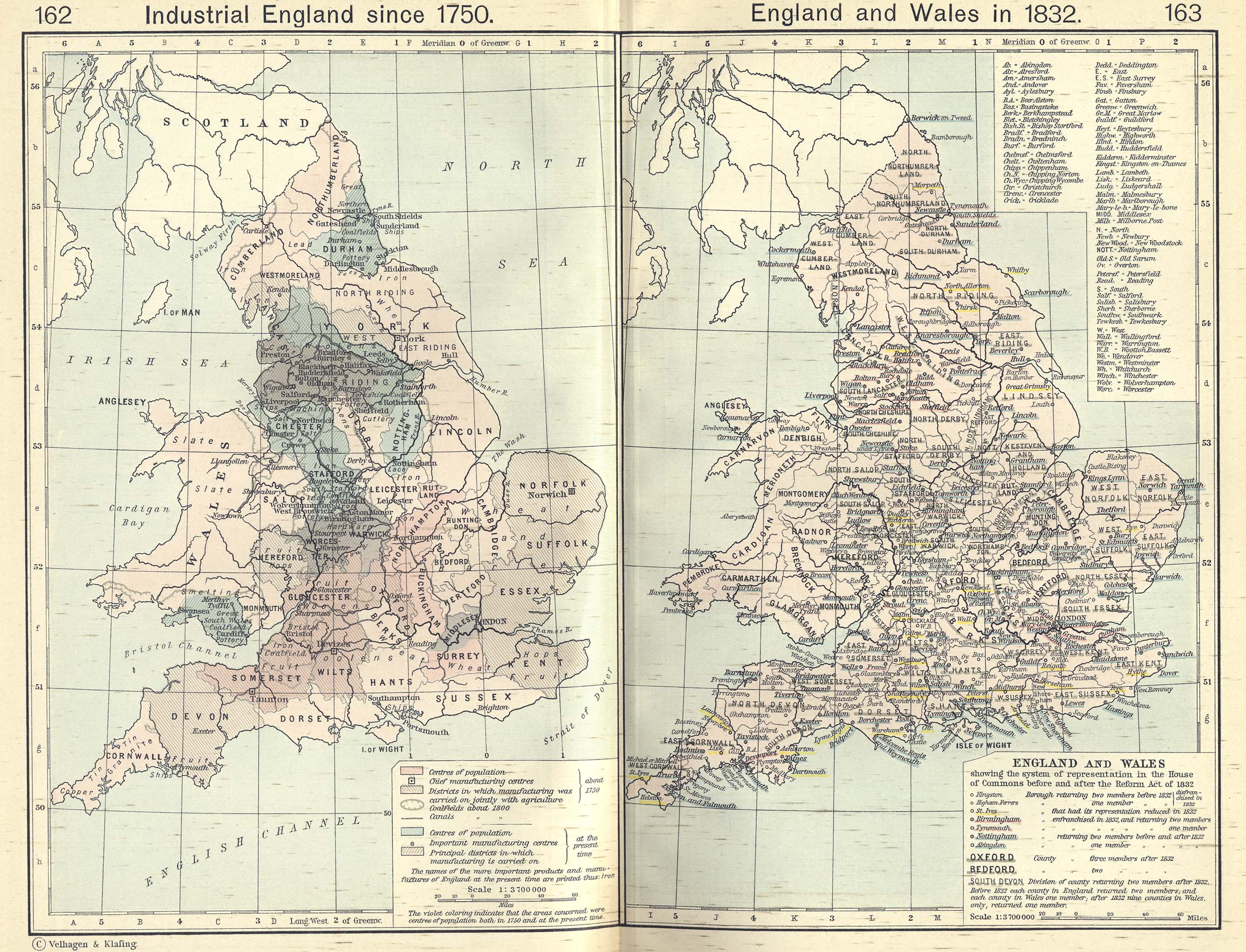
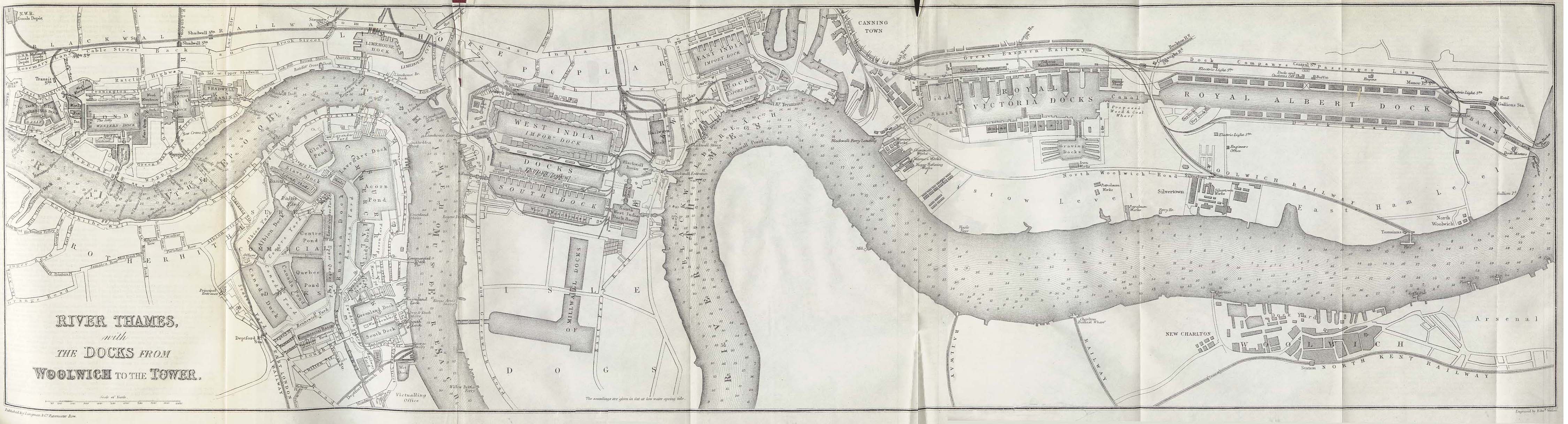
[edit] United Kingdom
- Guides
- Maps
- London
[edit] United States of America
- Guides
- Maps
- Map of the United States, 1783–1803
- Political maps of the United States, 1803–1912
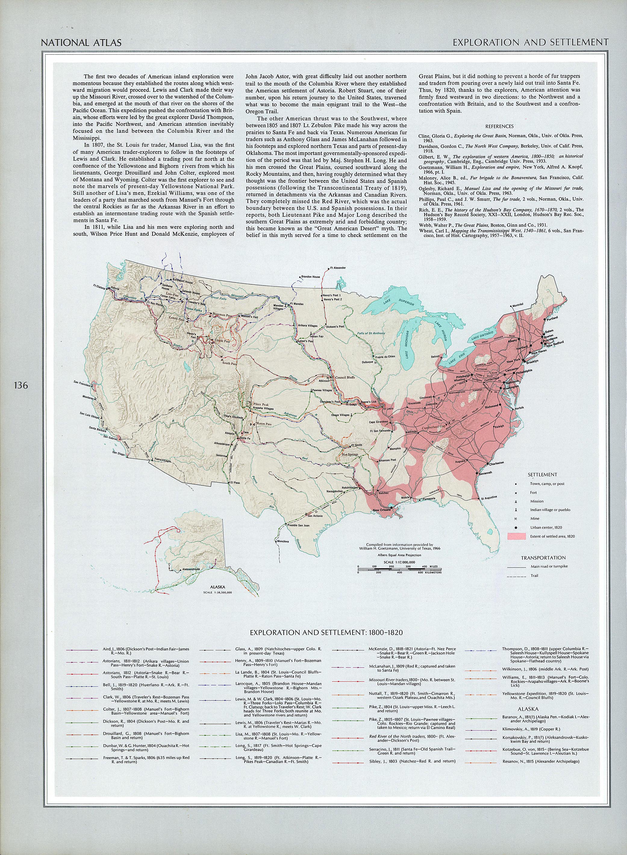
- Map of European settlement of the United States and territories, 1800–1820
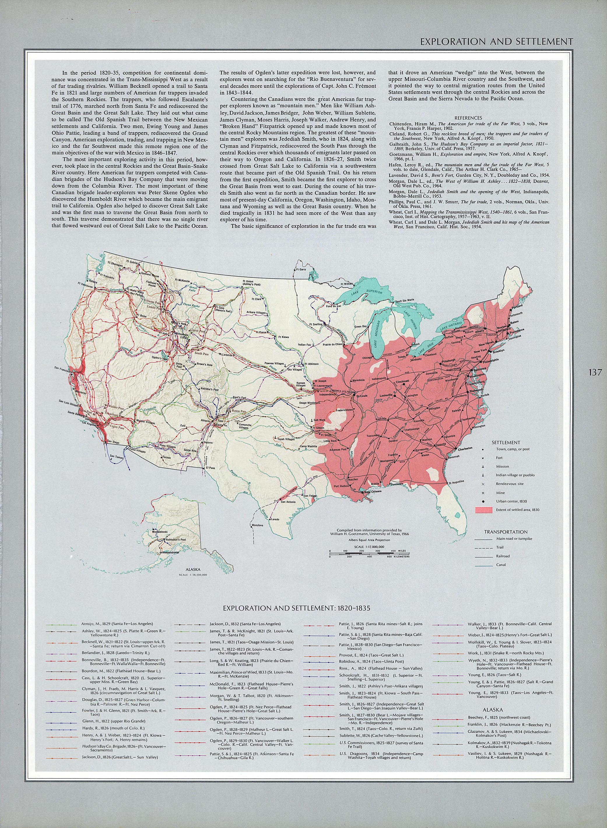
- Map of European settlement of the United States and territories, 1820–1835
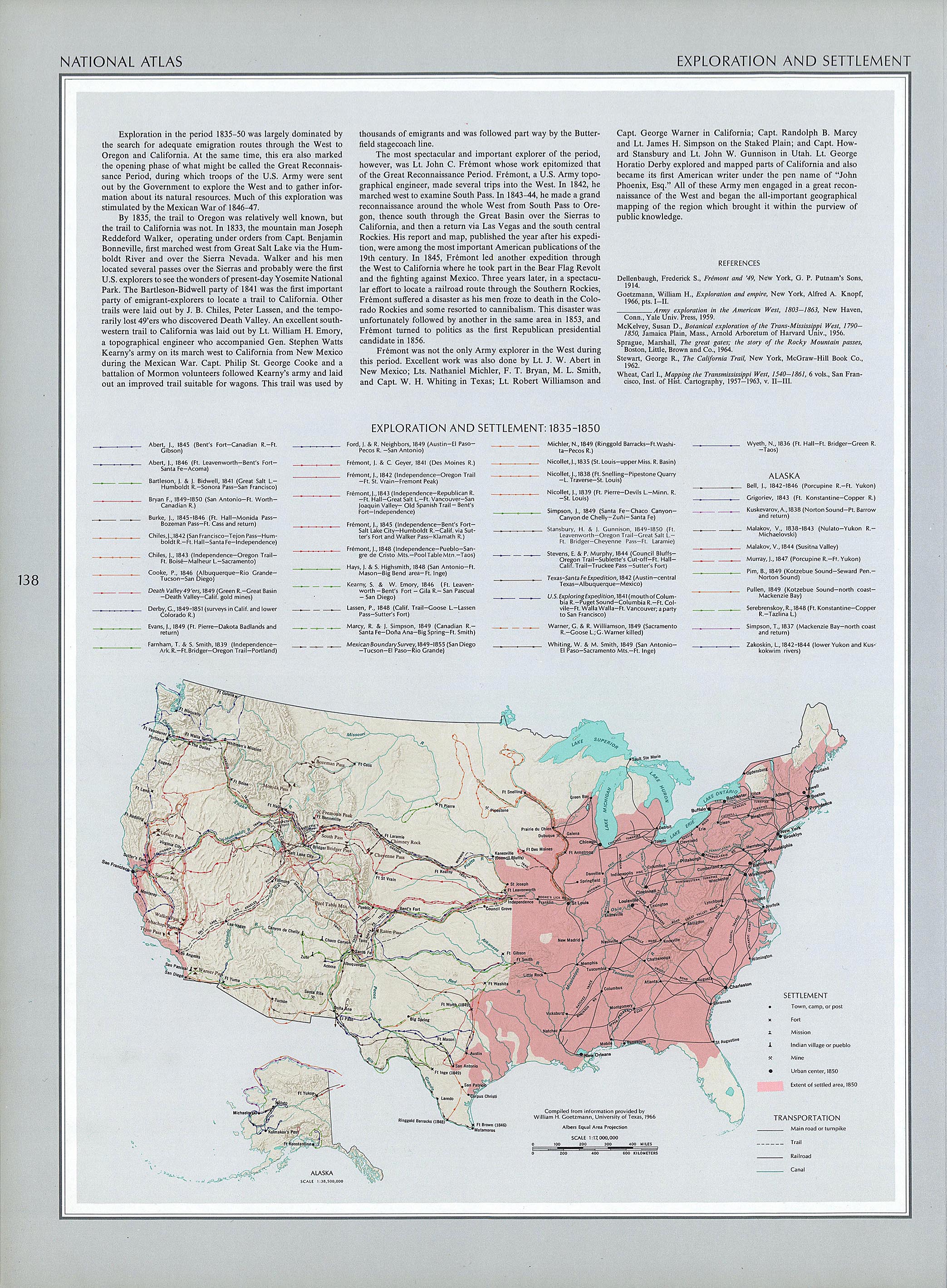
- Map of European settlement of the United States and territories, 1835–1850
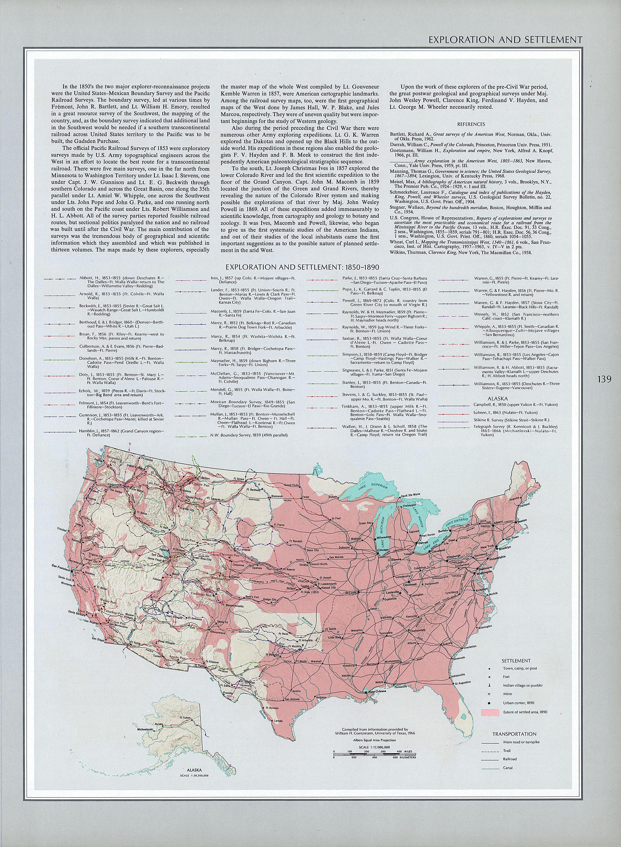
- Map of European settlement of the United States and territories, 1850–1890
- Map of territorial growth of the United States, 1775–1920
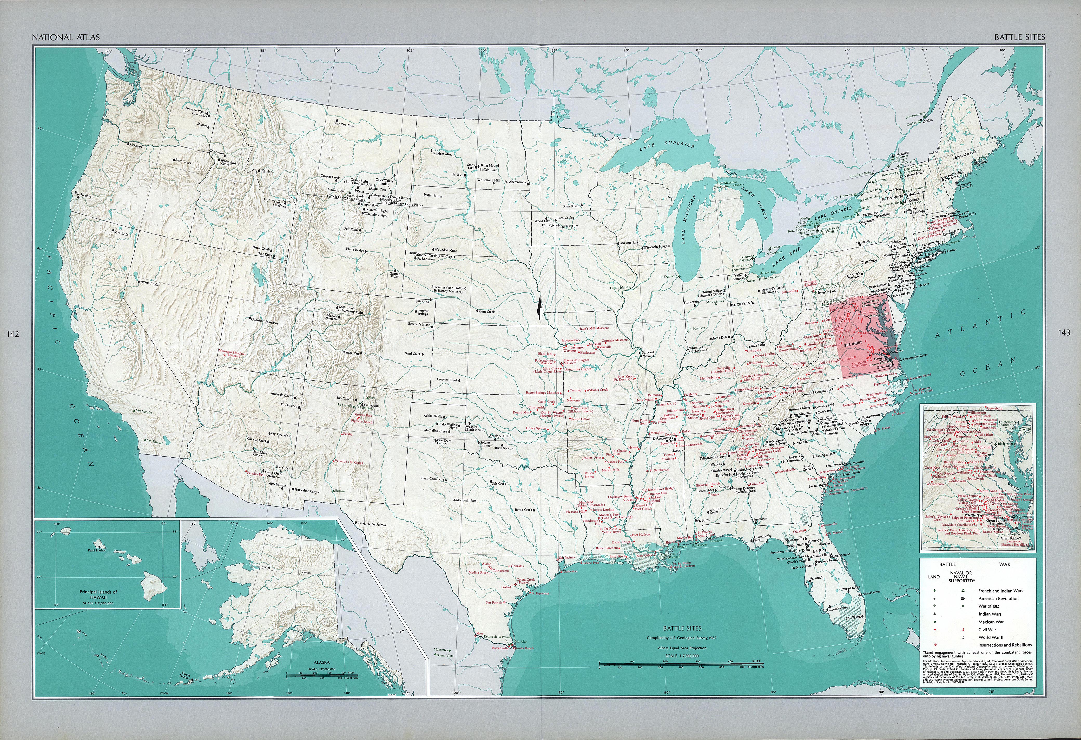
- Map of battles in the United States
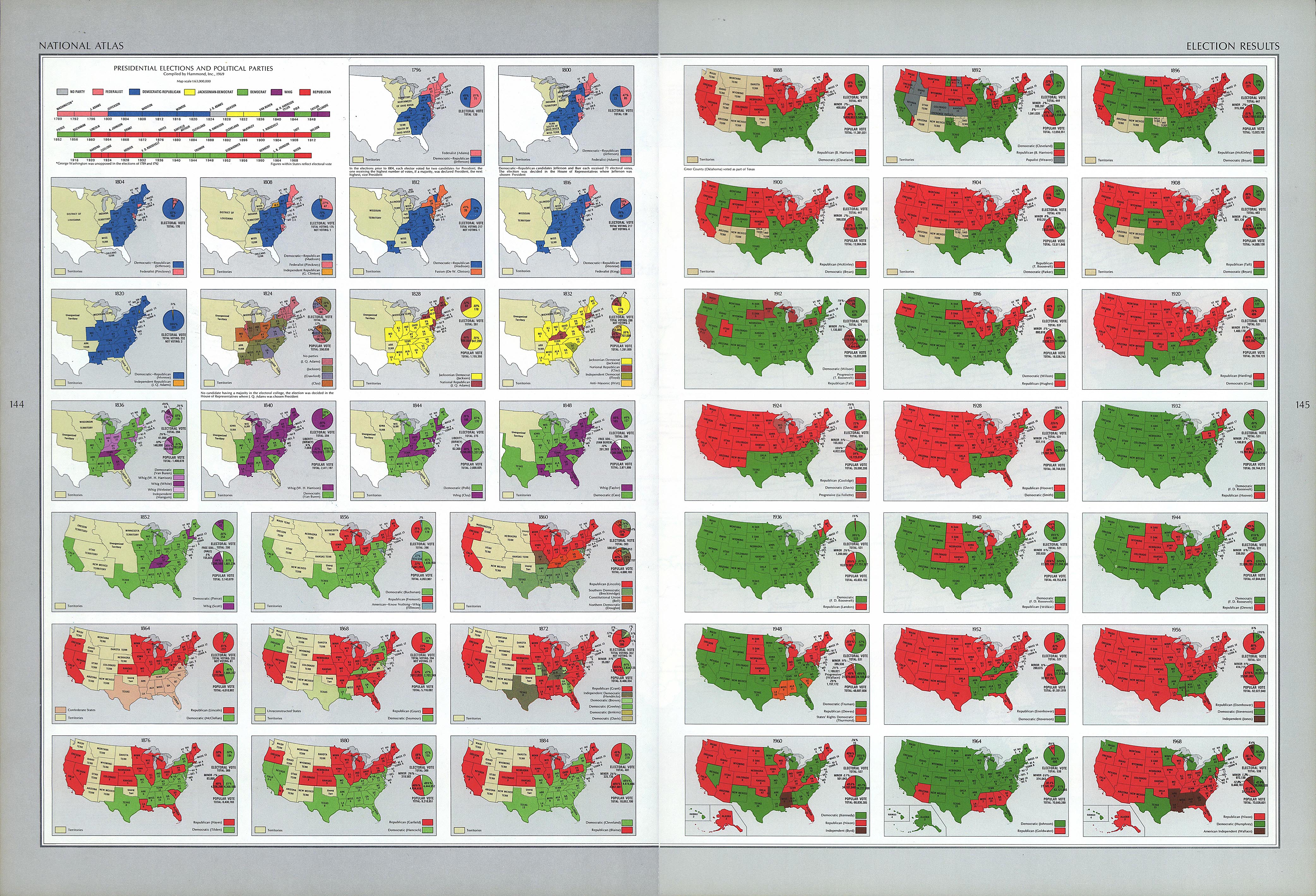
- Election map of the United States, 1796–1960
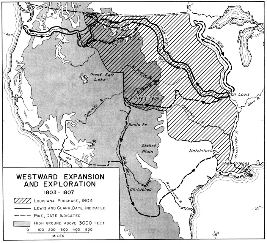
- Map of westward expansion and exploration, 1803–1807
- Map of the Lewis and Clark Expedition, 1804–1806
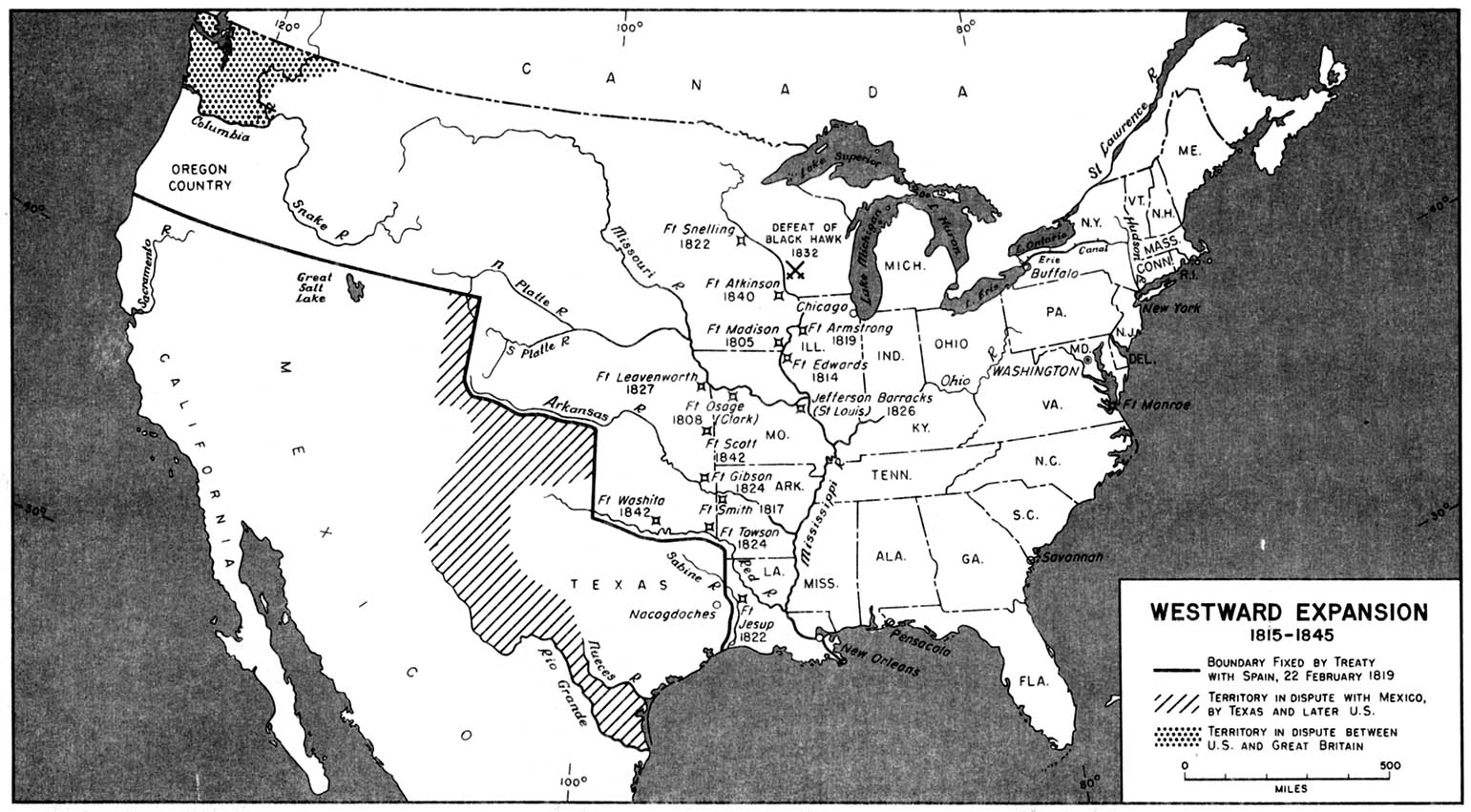
- Map of westward expansion, 1815–1845
- Distribution map of British-born people in the United States, 1872
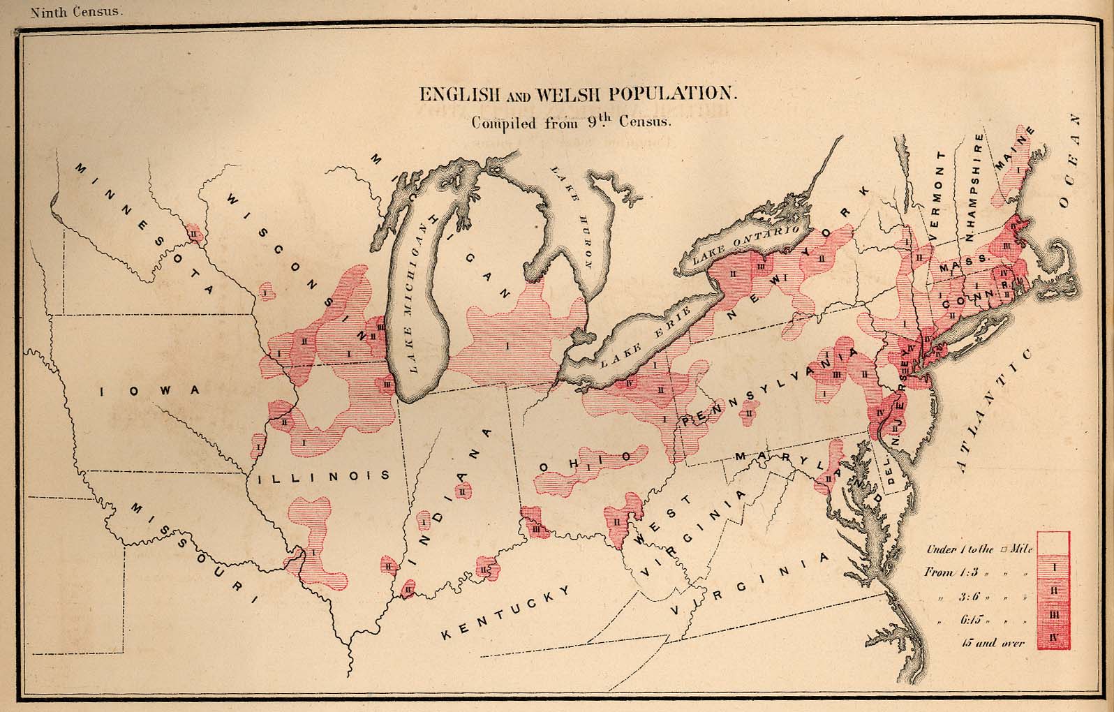
- Distribution map of English- and Welsh-born people in the United States, 1872
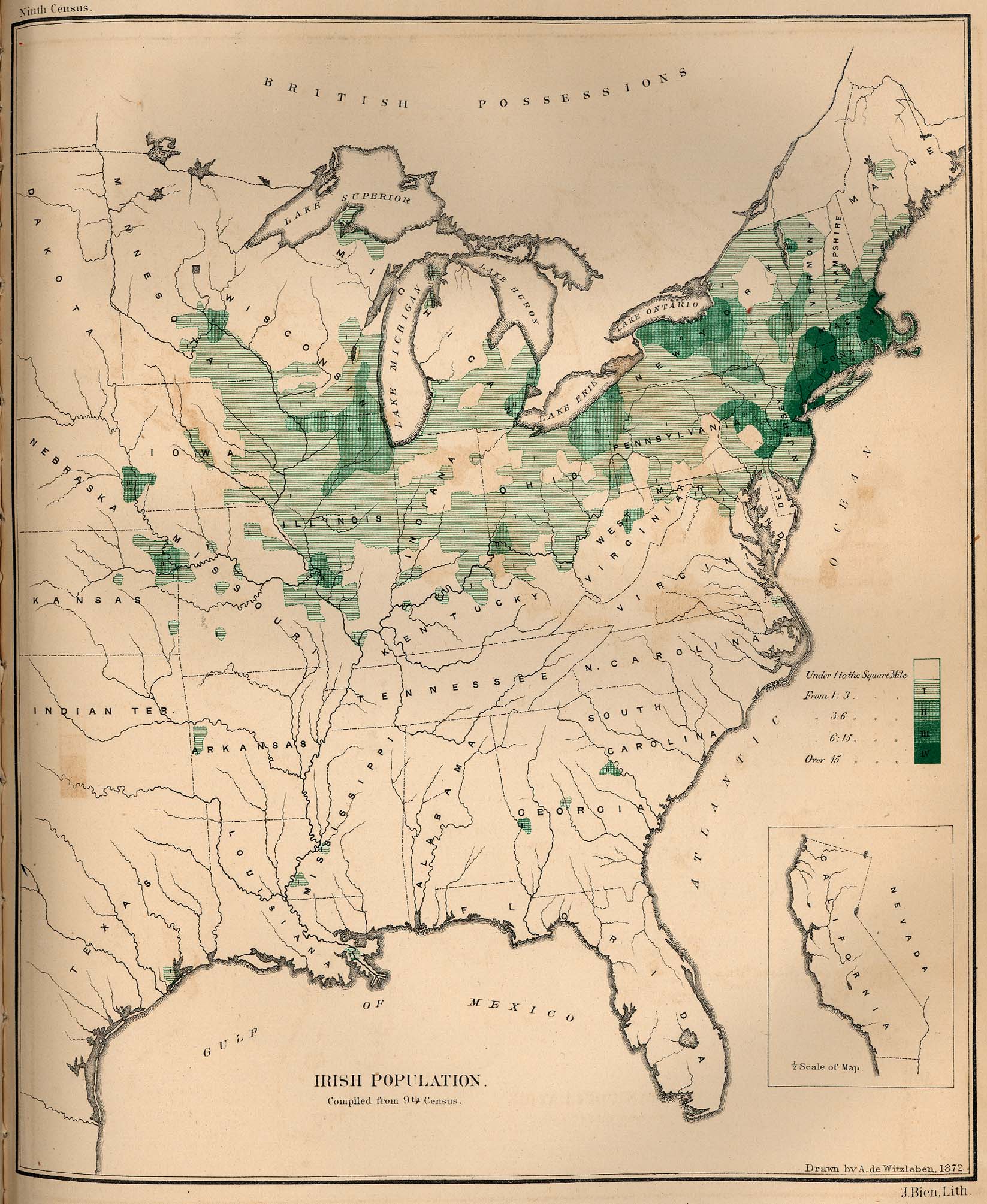
- Distribution map of Irish-born people in the United States, 1872
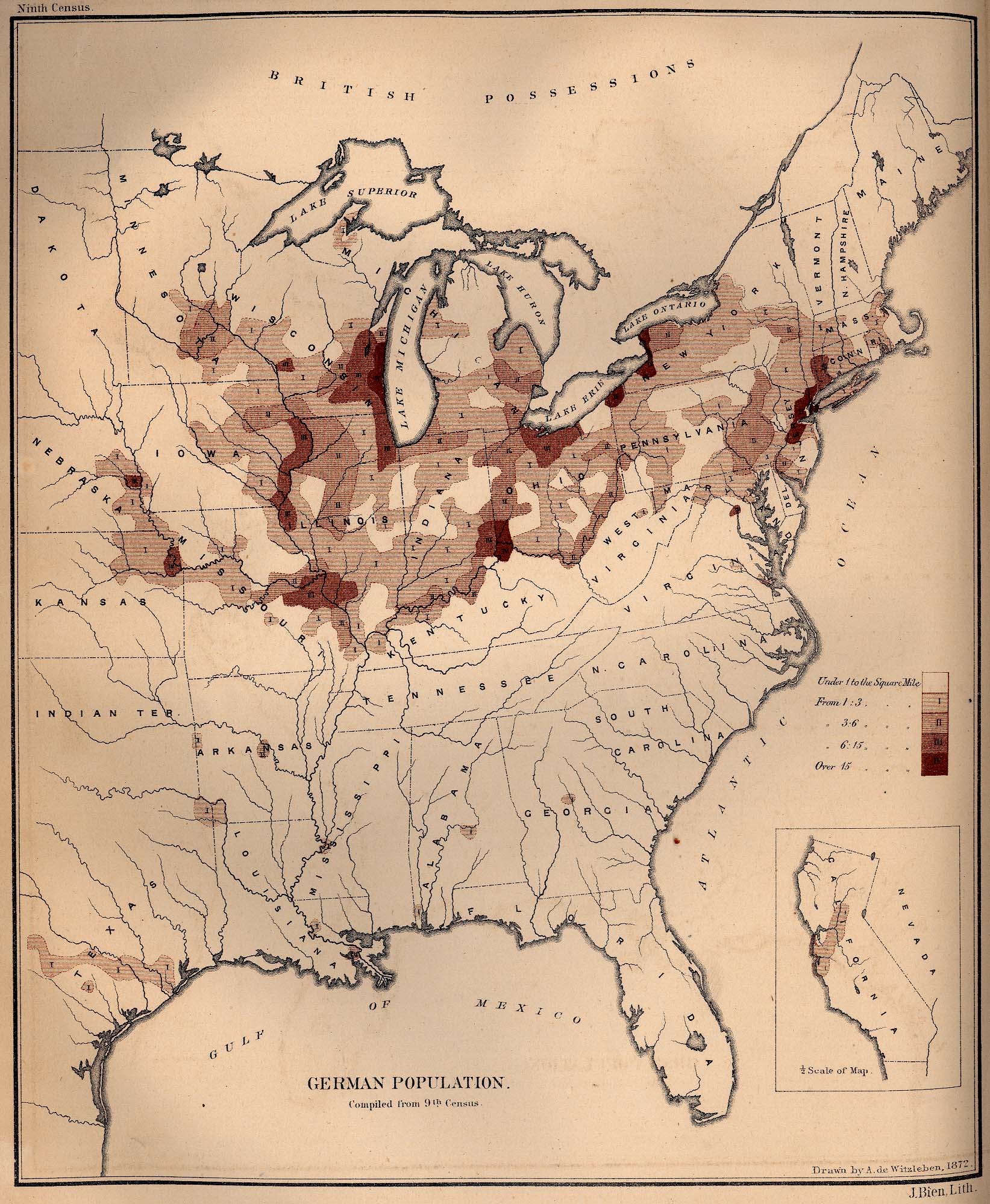
- Distribution map of German-born people in the United States, 1872
- Distribution map of Swedish- and Norwegian-born people in the United States, 1872
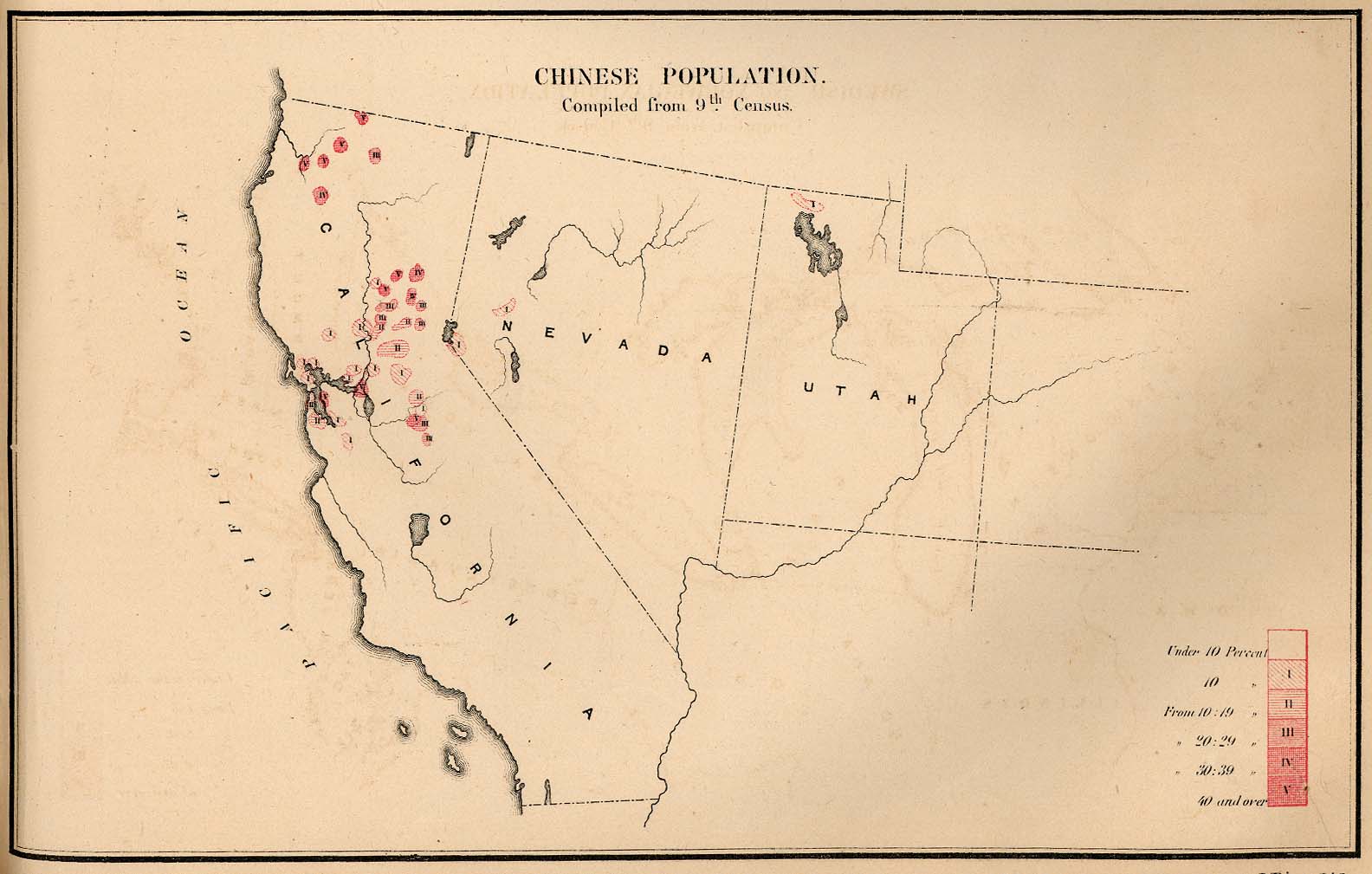
- Distribution map of Chinese-born people in the United States, 1872
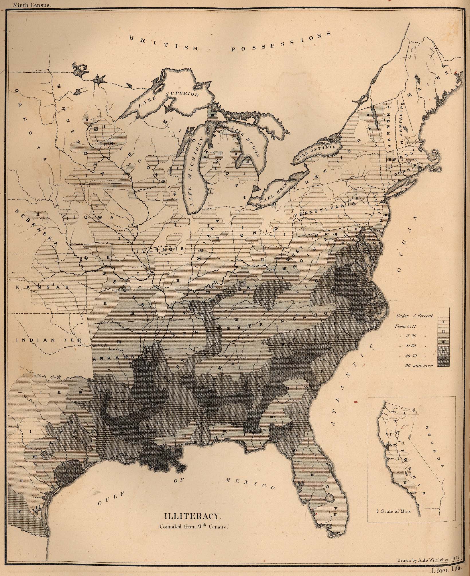
- Distribution map of illiterate people in the United States, 1872
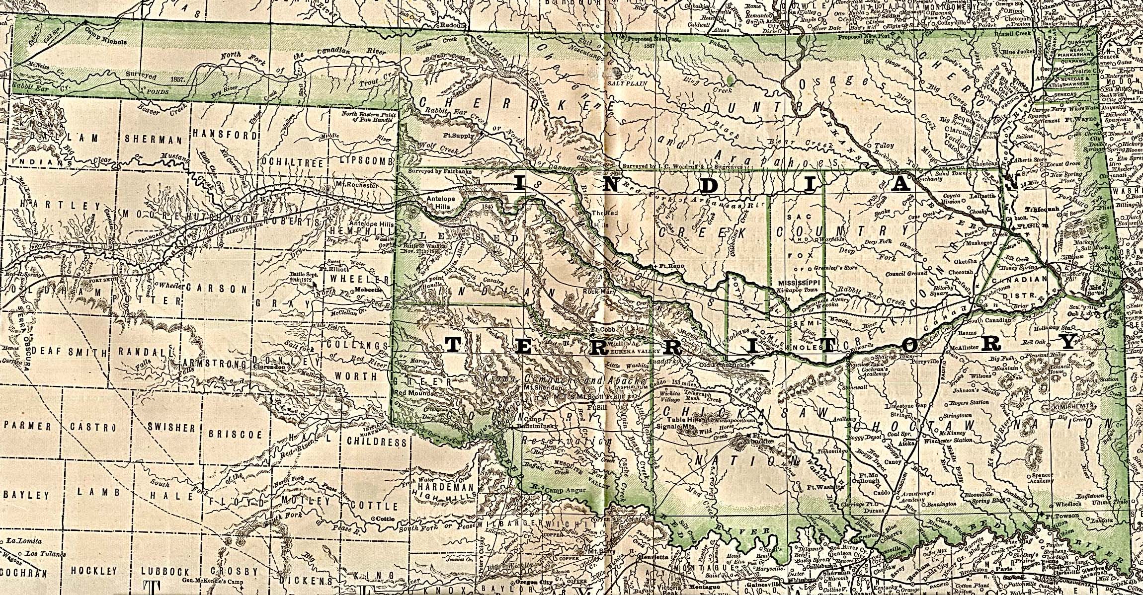
- Map of Indian Territory (Oklahoma), 1884
- Distribution map of Indian tribes
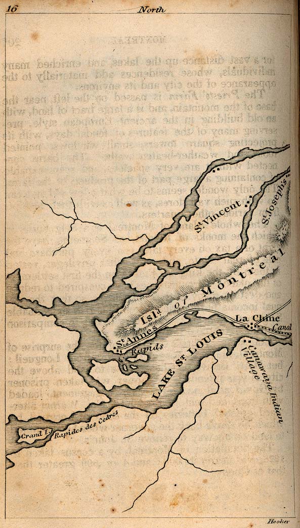
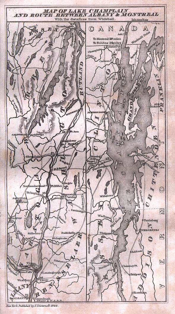
- Map of Lake Champlain and the route between Albany and Montreal, 1844
- Map of old trails and roads in Minnesota
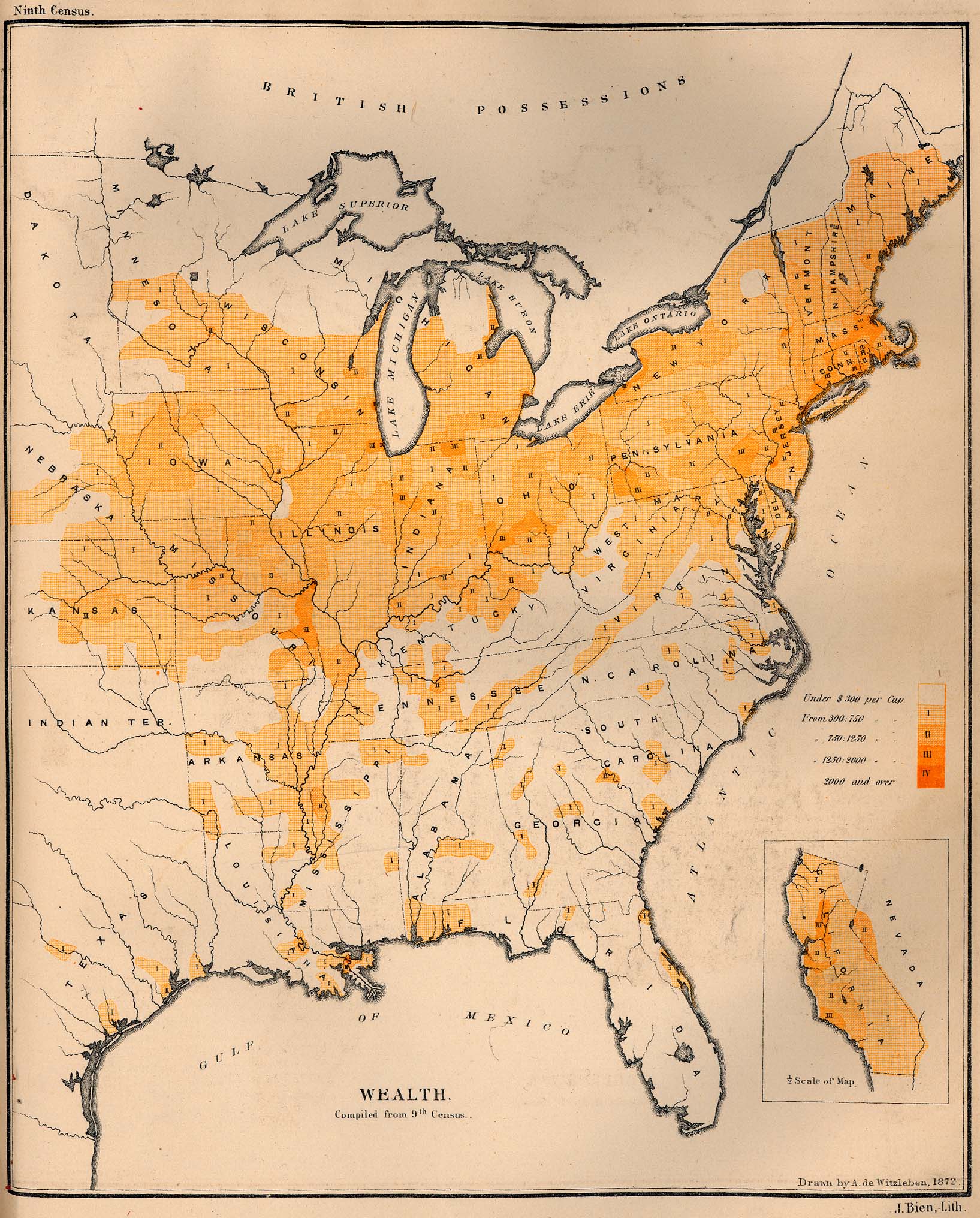
- Distribution map of wealth in the United States, 1872
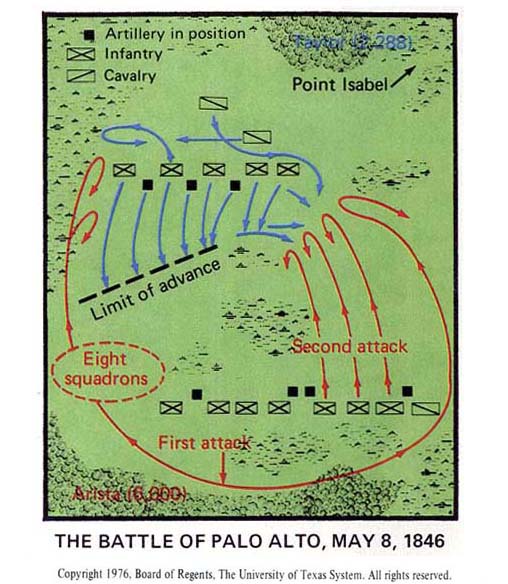
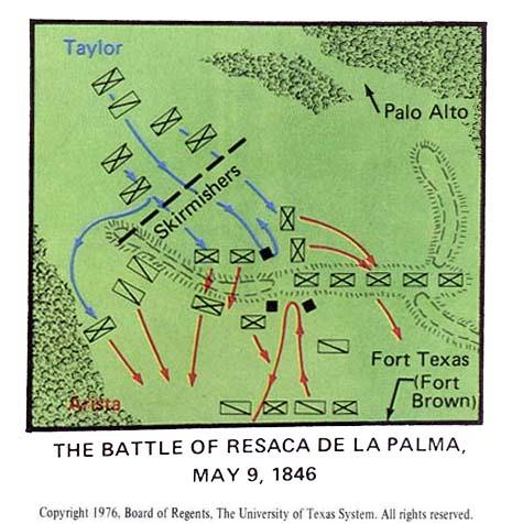
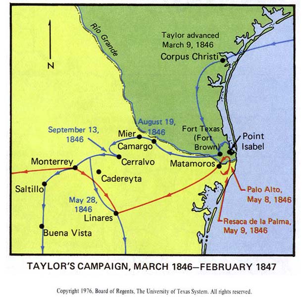
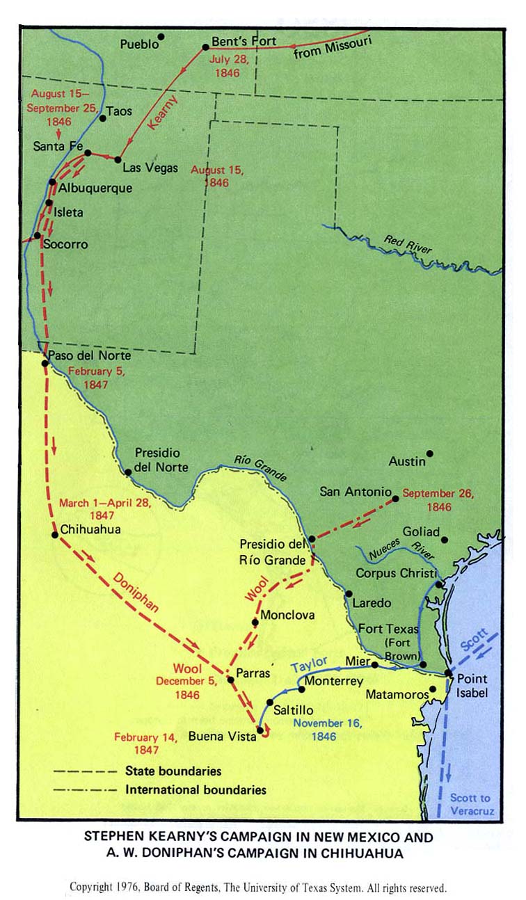
- Mexican-American War, 1846–1847
- American Civil War
- Austin, Texas
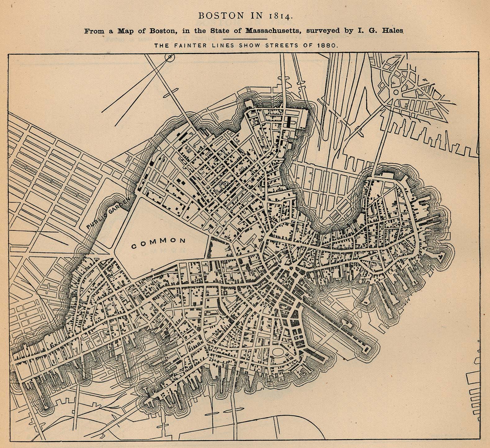
- Boston
- Plan of Boston, 1814
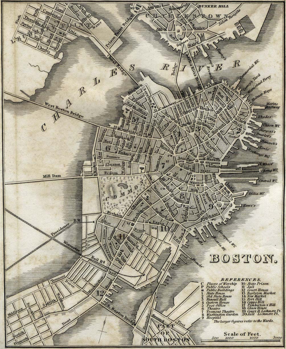
- Plan of Boston, 1842
- Plan of Boston, 1880
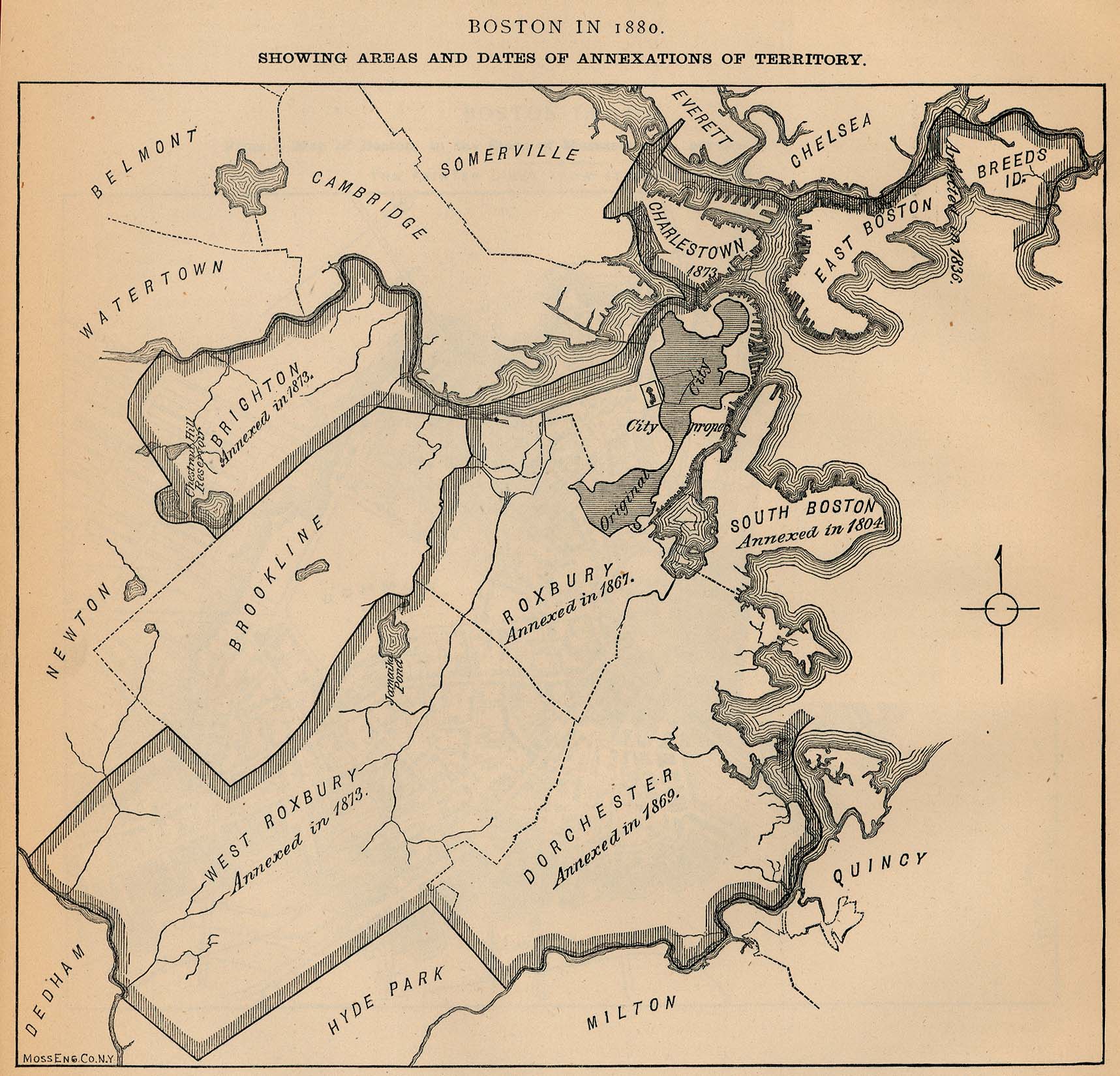
- Map of Boston 1880, showing dates of annexation of other communities
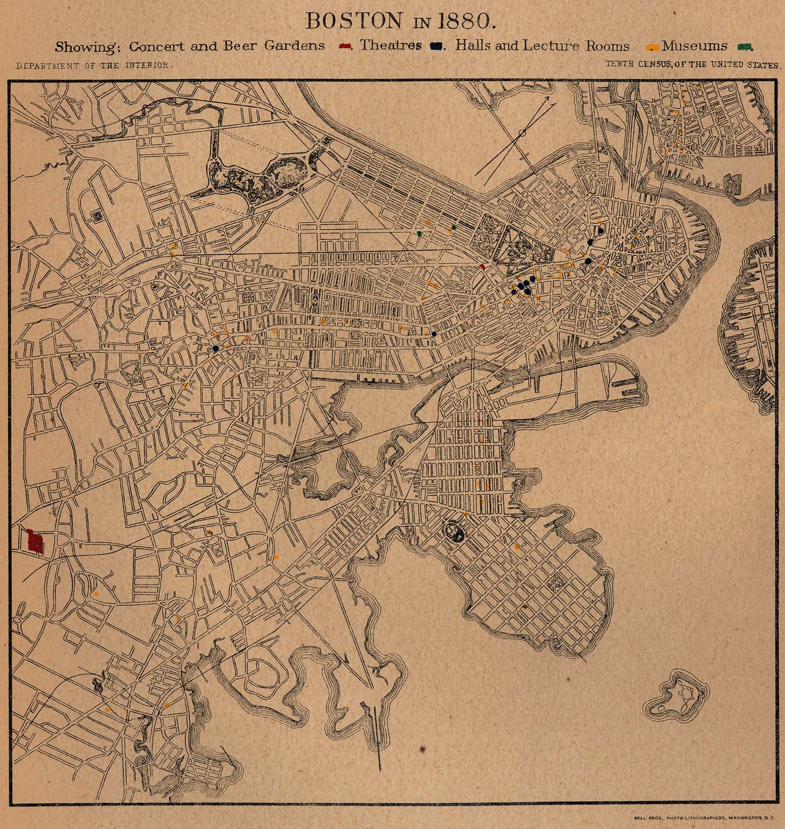
- Plan of Boston 1880, showing locations of concert and beer gardens, theatres, halls, lecture rooms and museums
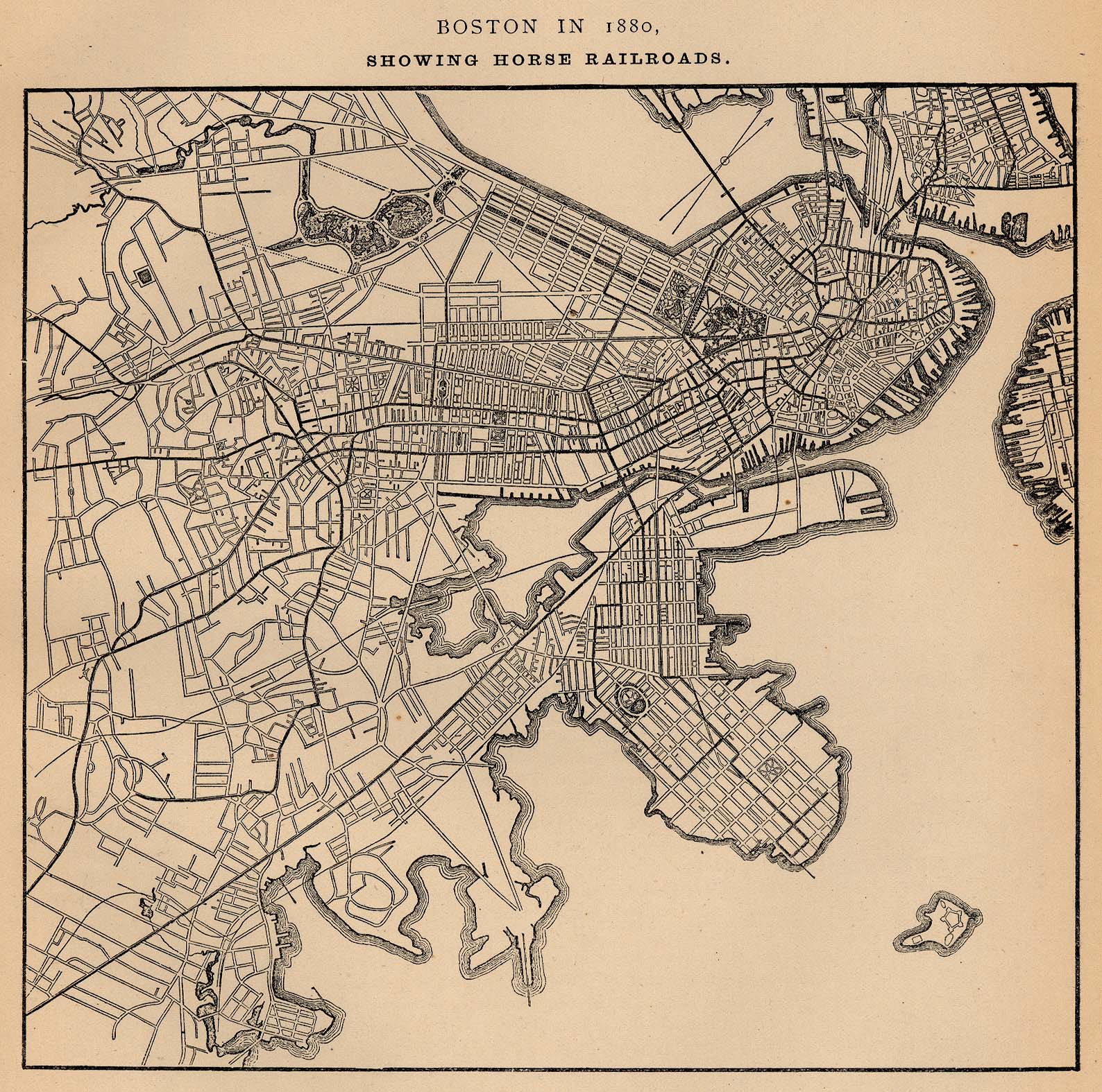
- Plan of Boston, 1880, showing horse railroads
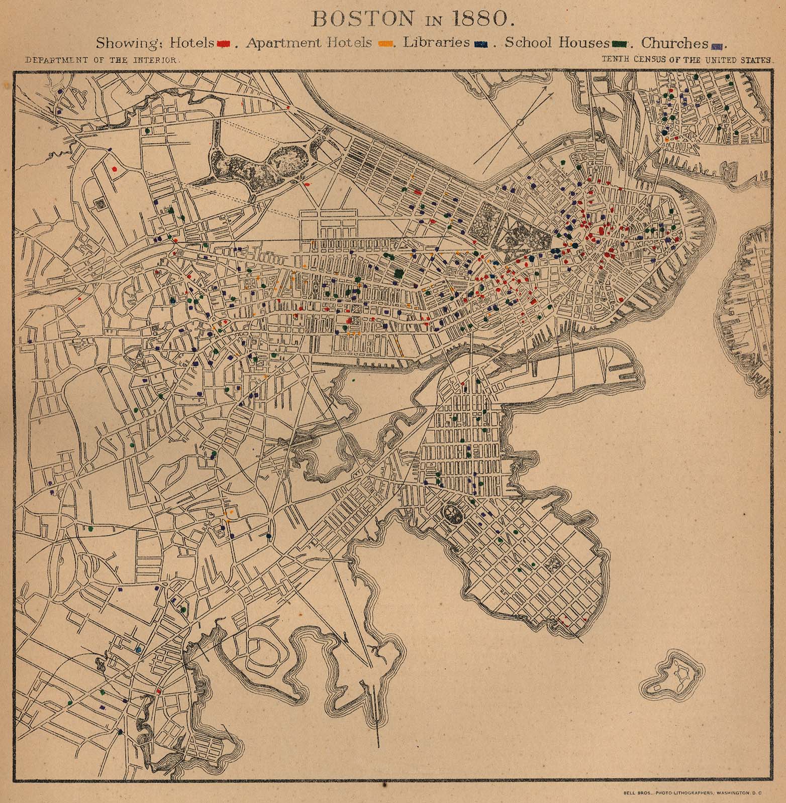
- Plan of Boston, 1880, showing locations of hotels, libraries, schools and churches
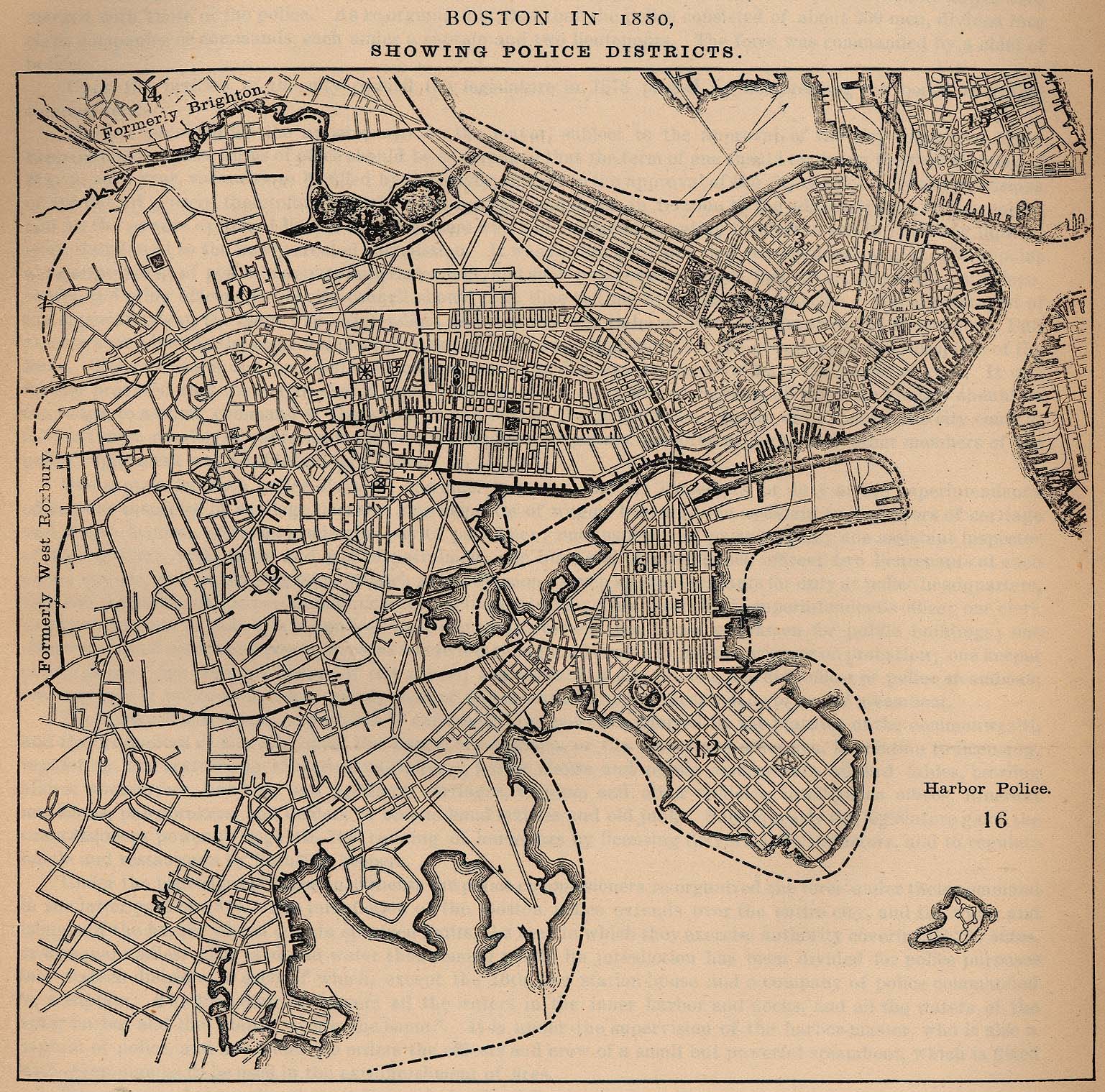
- Plan of Boston, 1880, showing police districts
- Plan of Boston, 1880, showing locations of societies, hospitals, asylums and homes
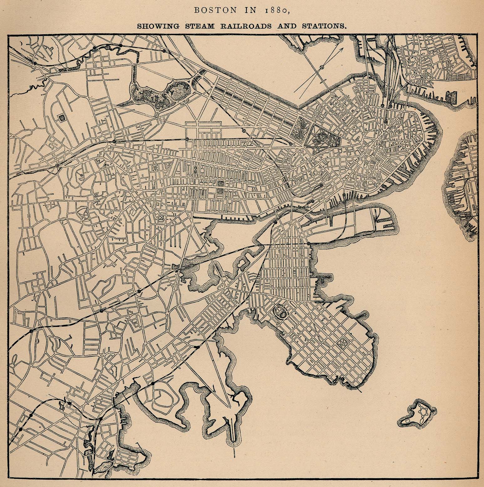
- Plan of Boston, 1880, showing steam railroads and stations
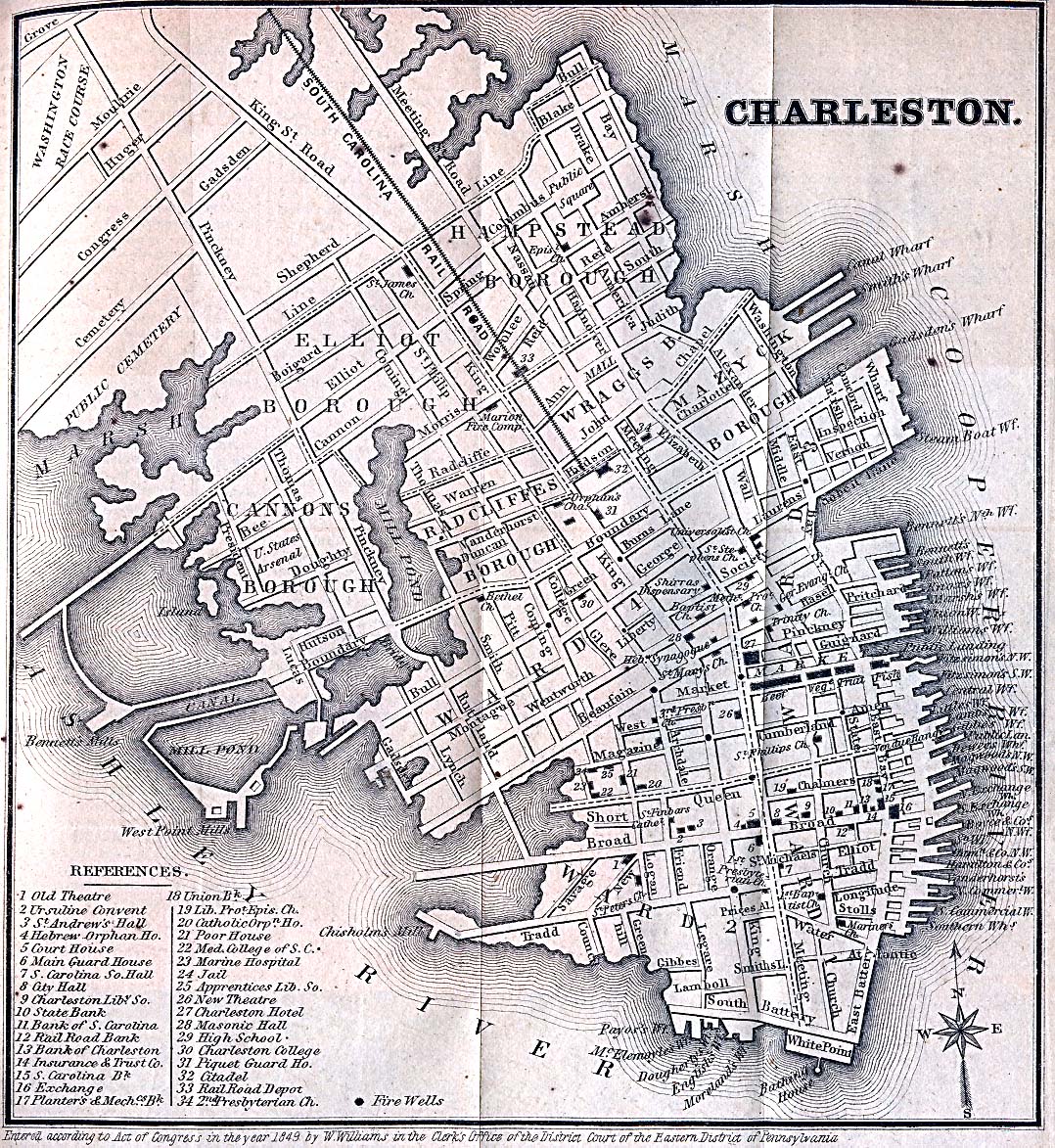
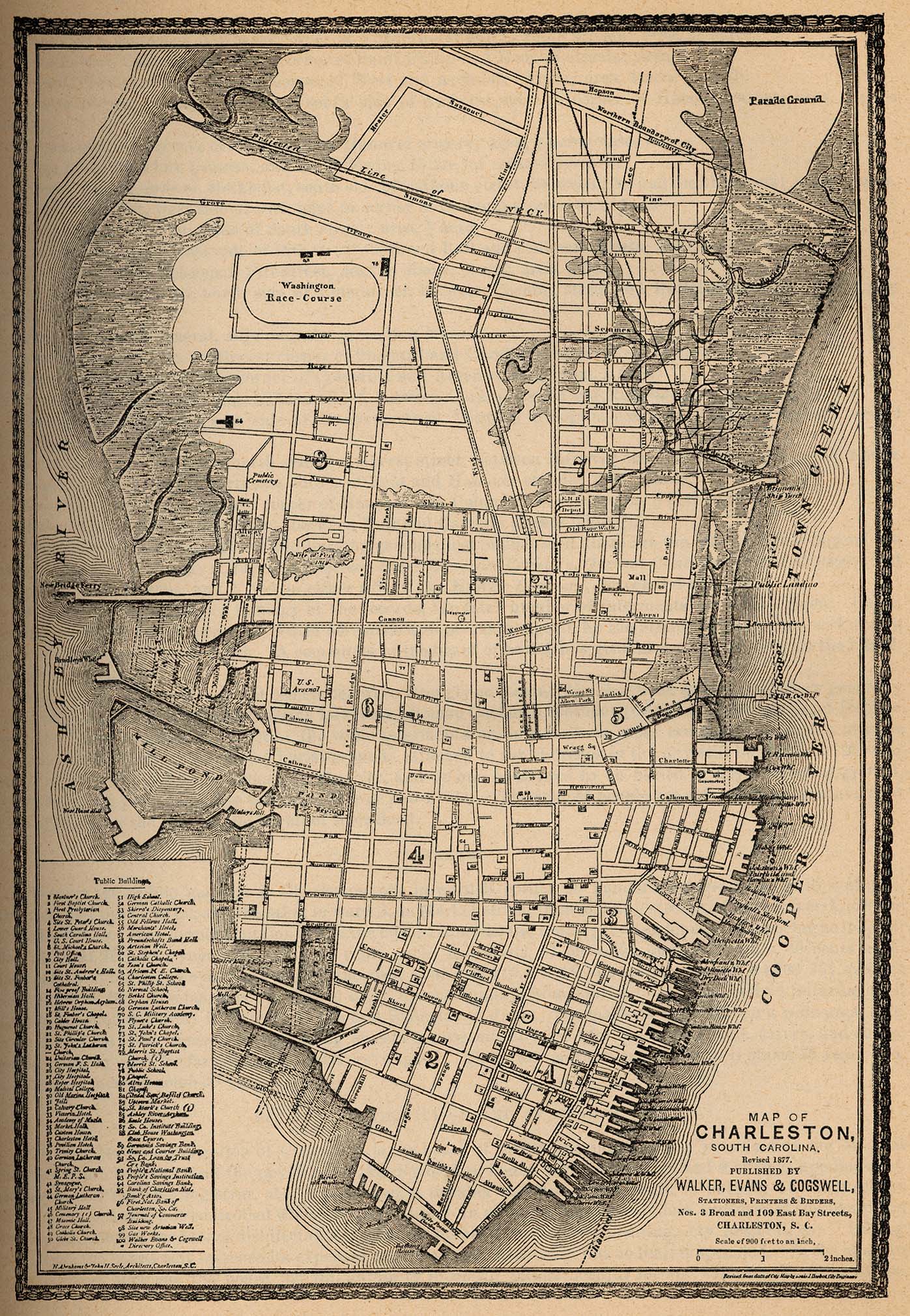
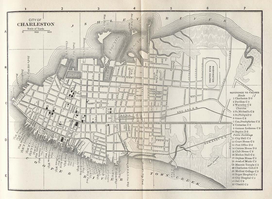
- Charleston
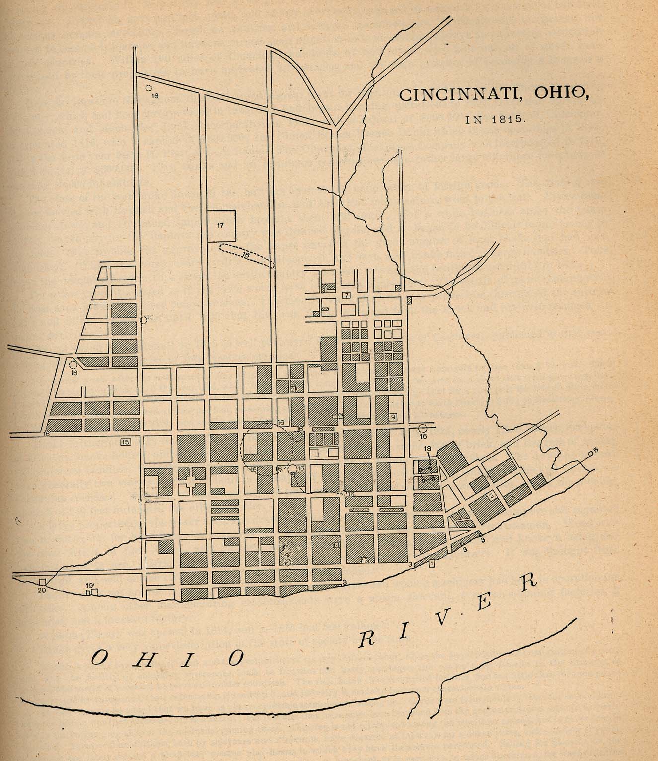
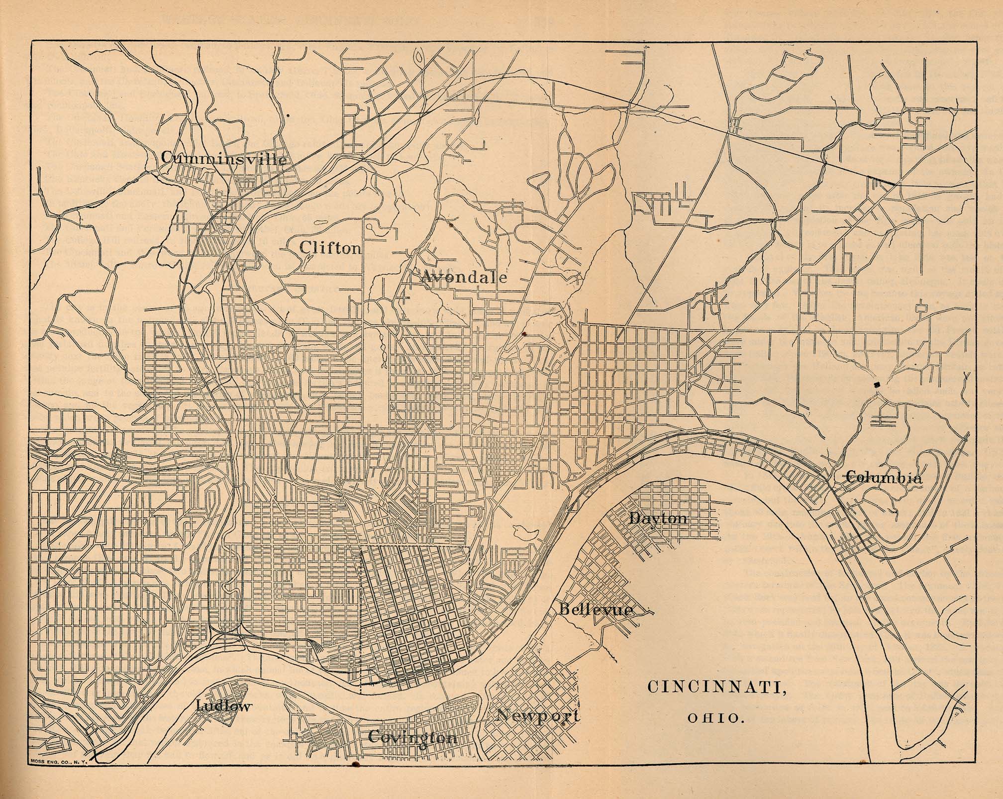
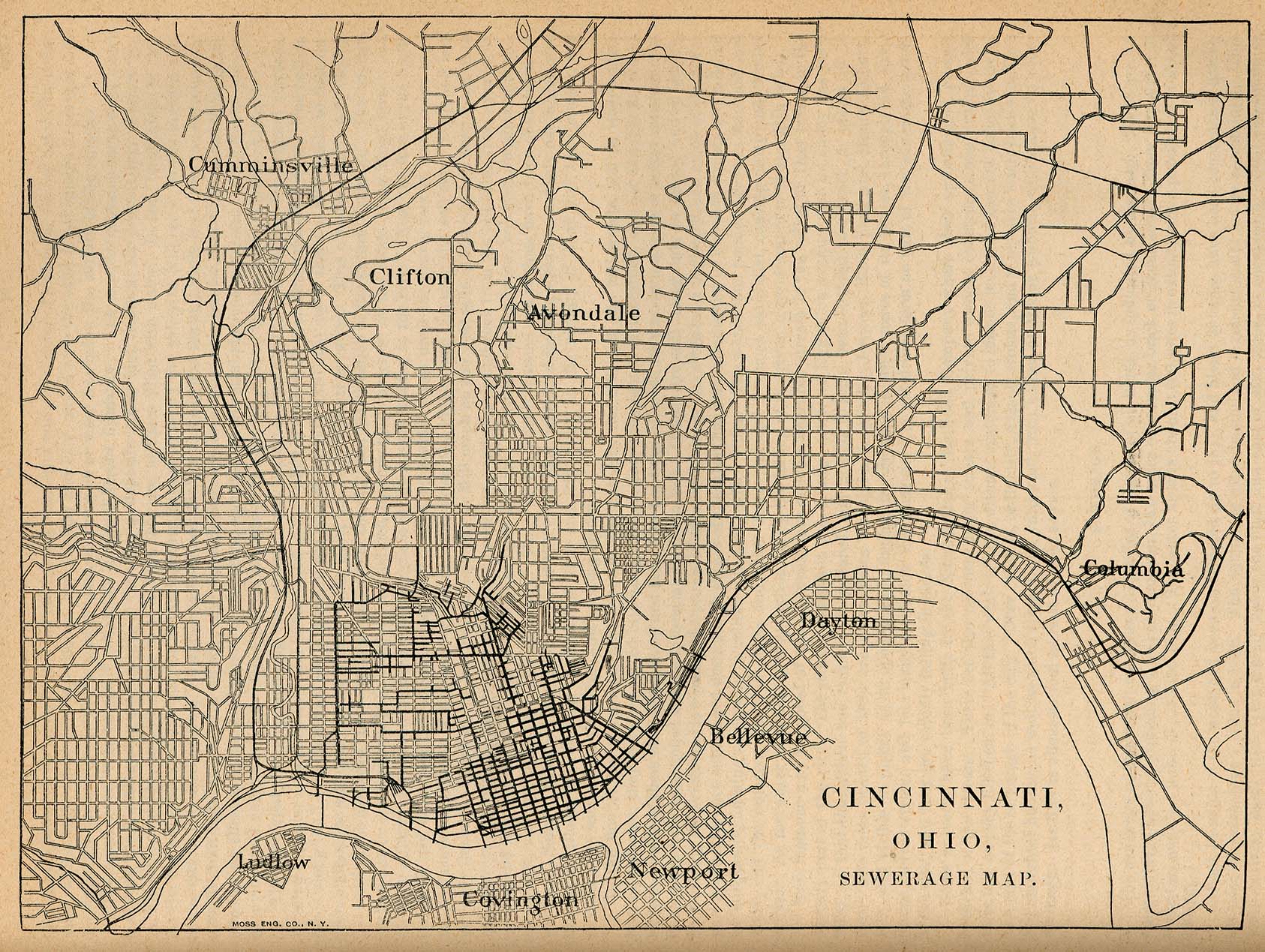
- Cincinnati
- Fort Worth
- Galveston
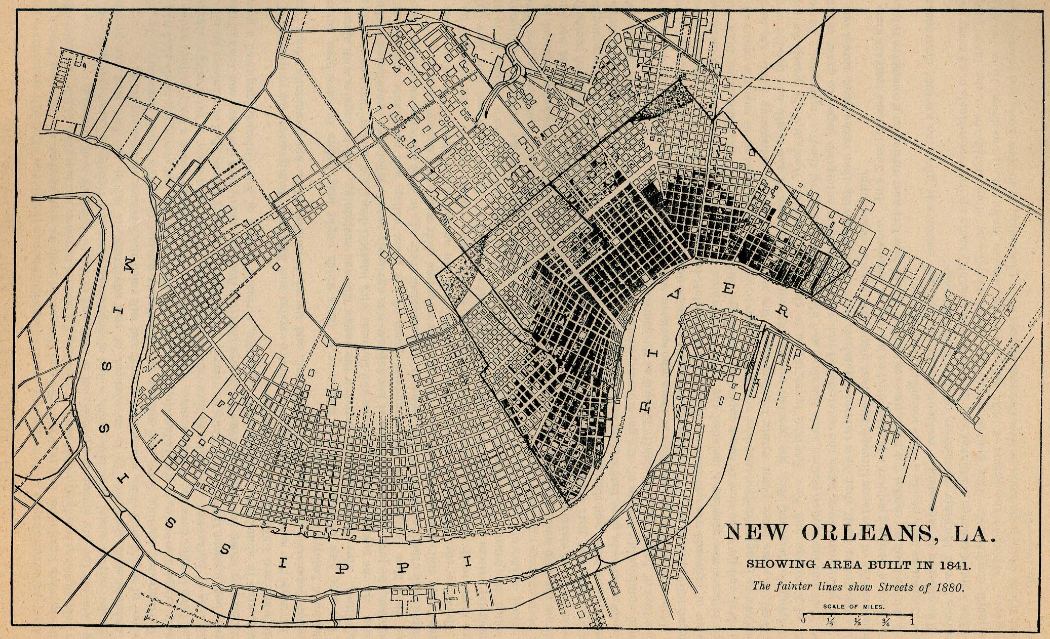
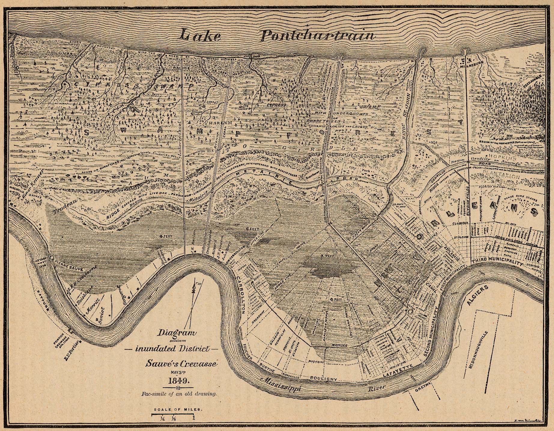
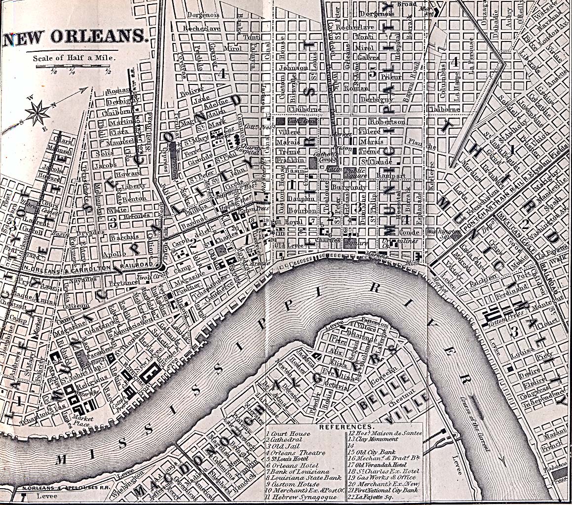
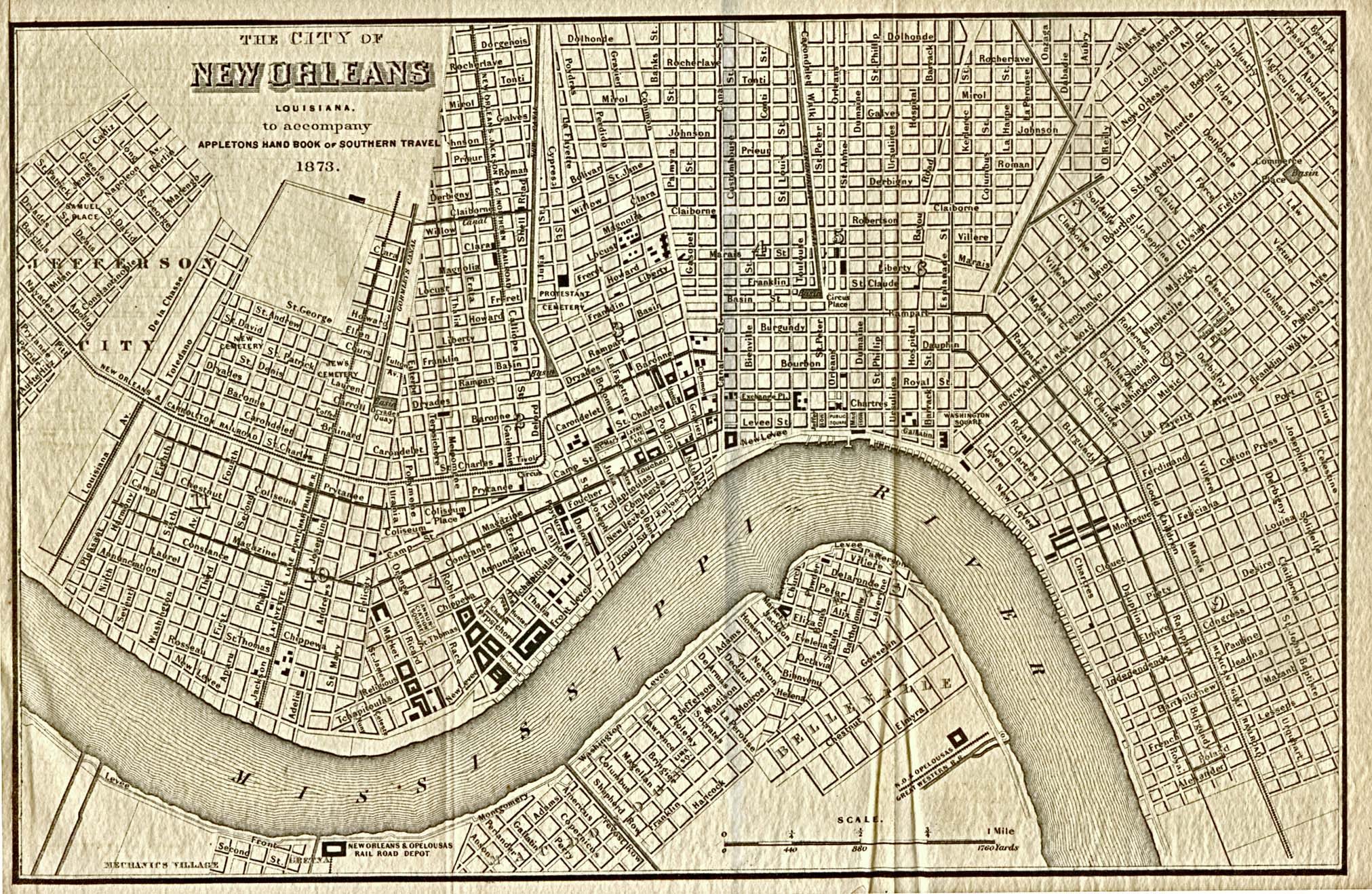
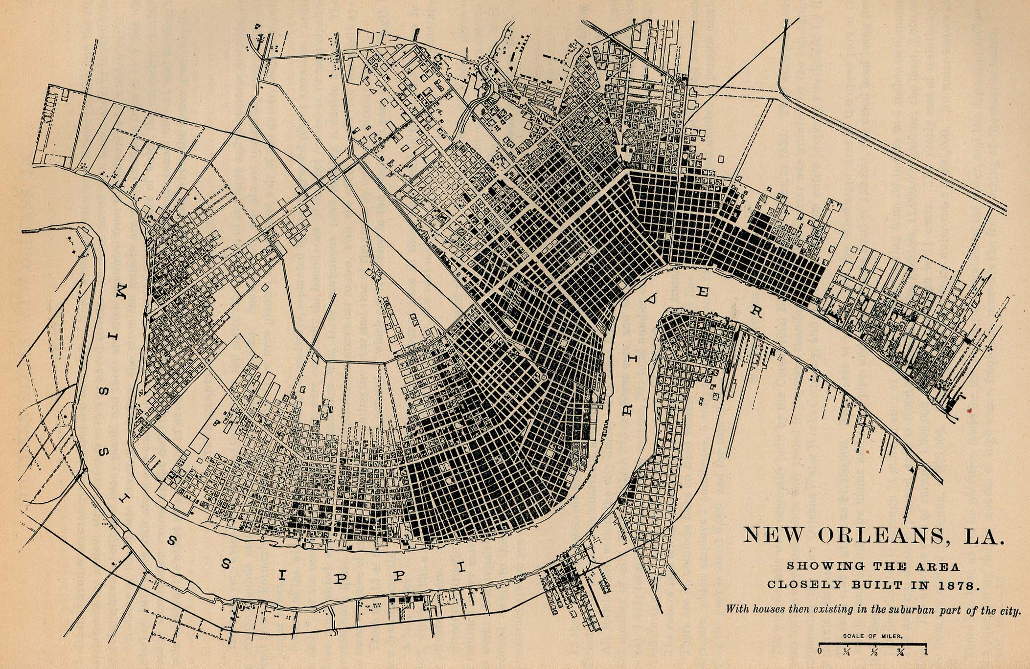
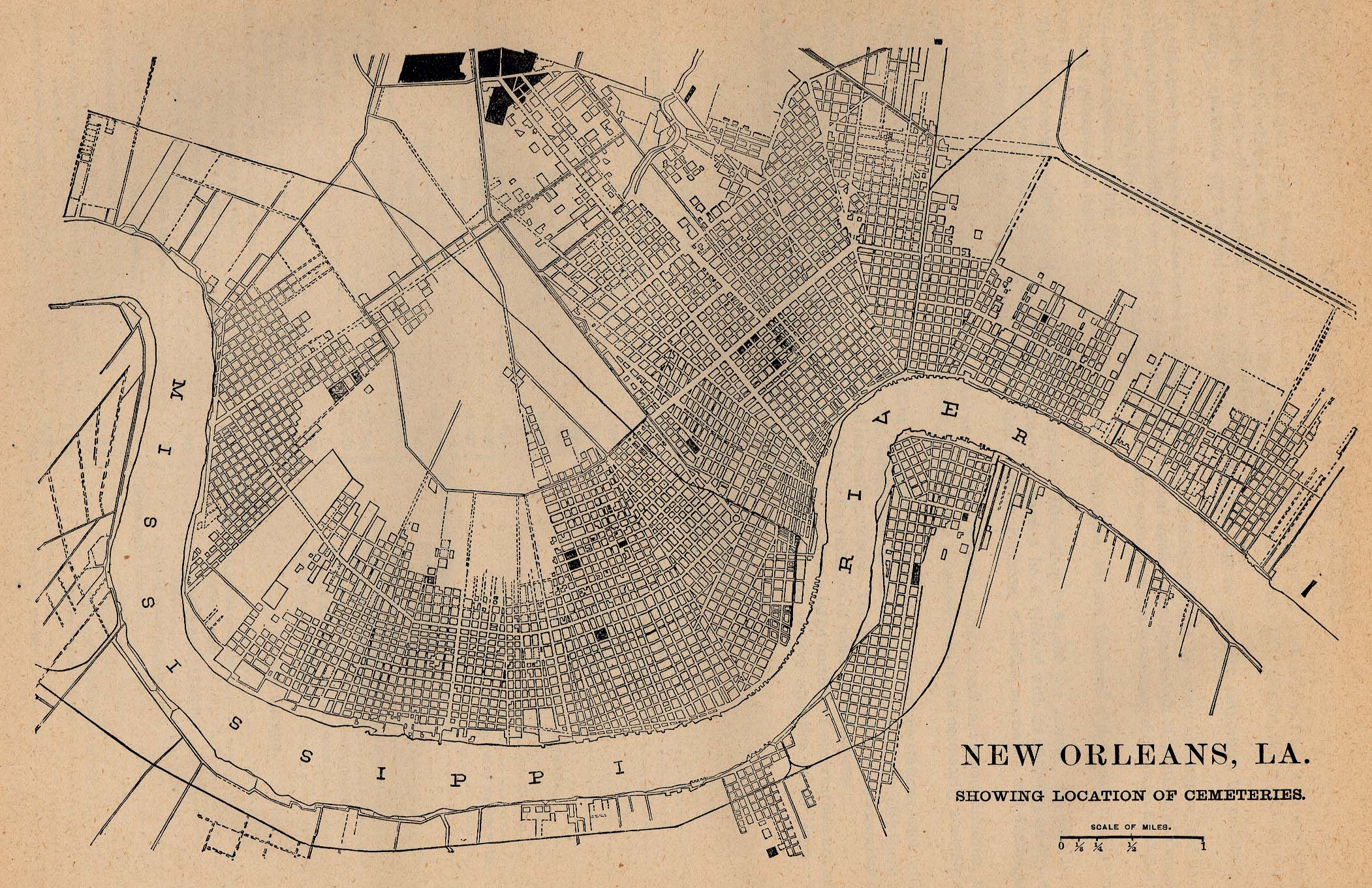
- New Orleans
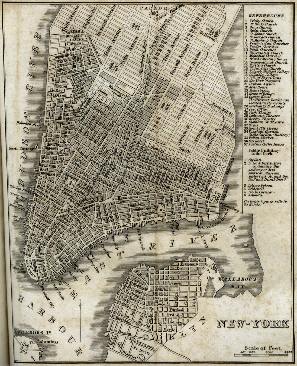
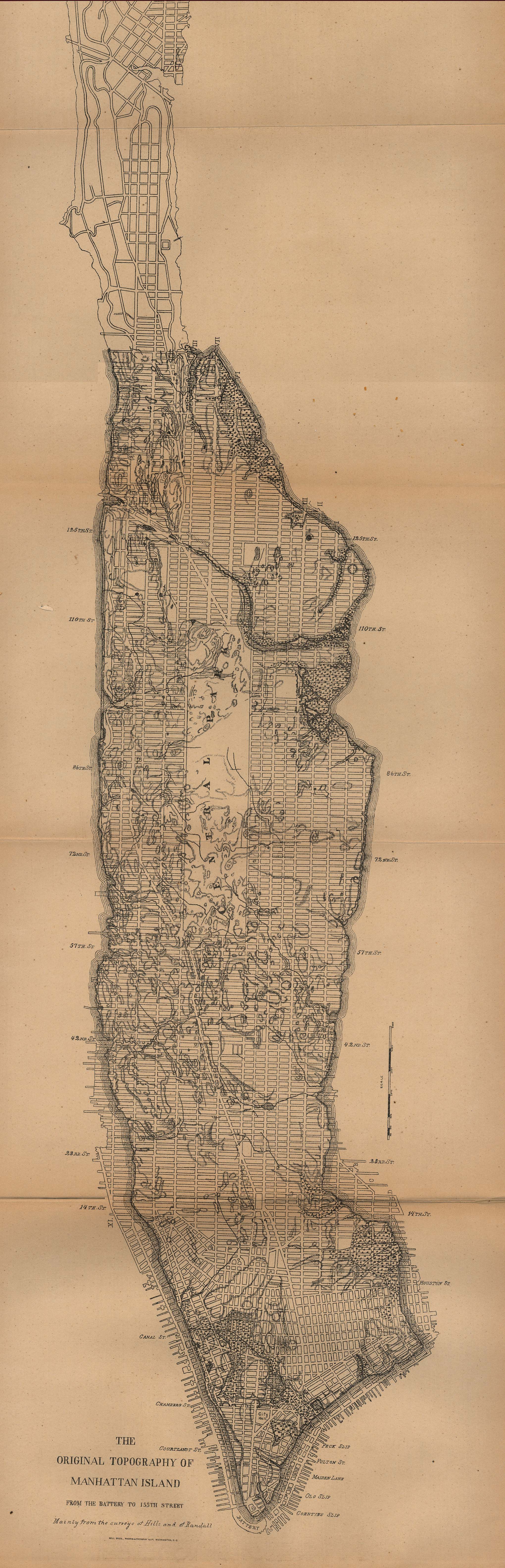
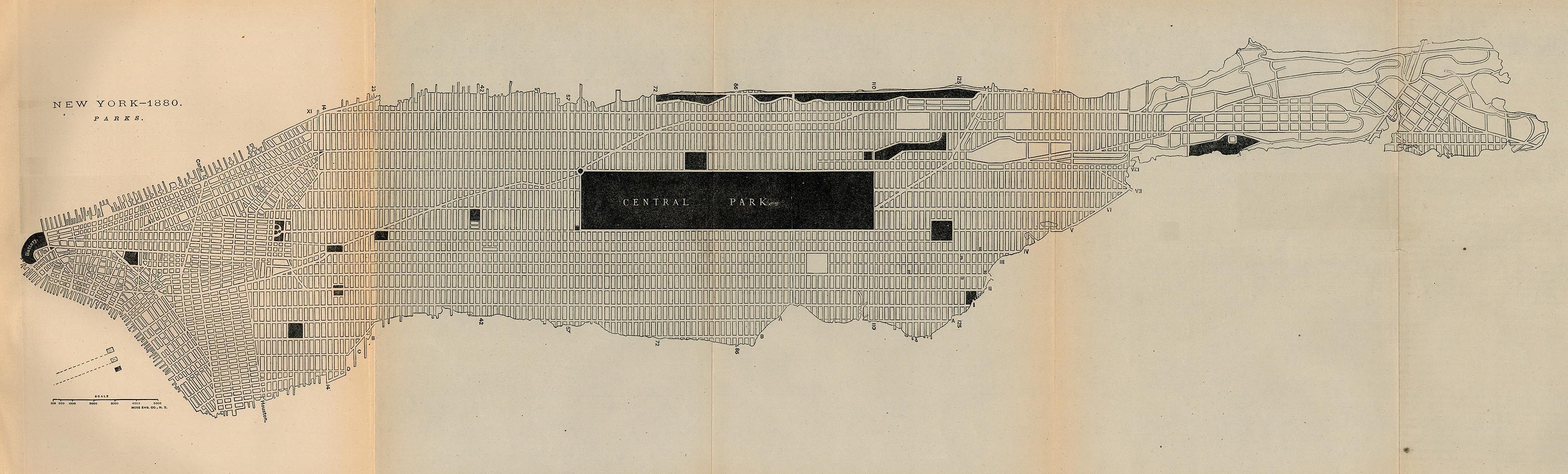
- New York City
- San Antonio, Texas
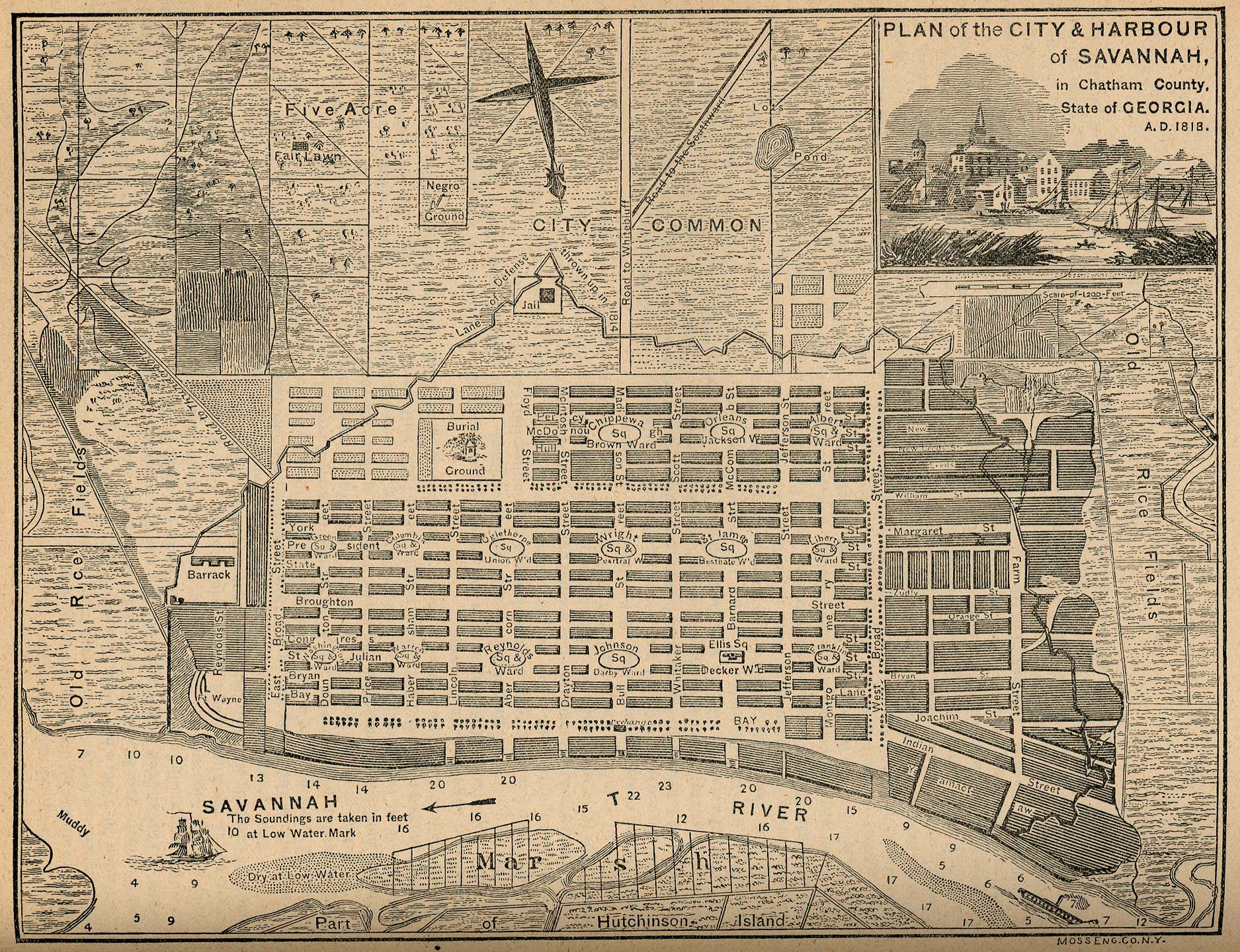
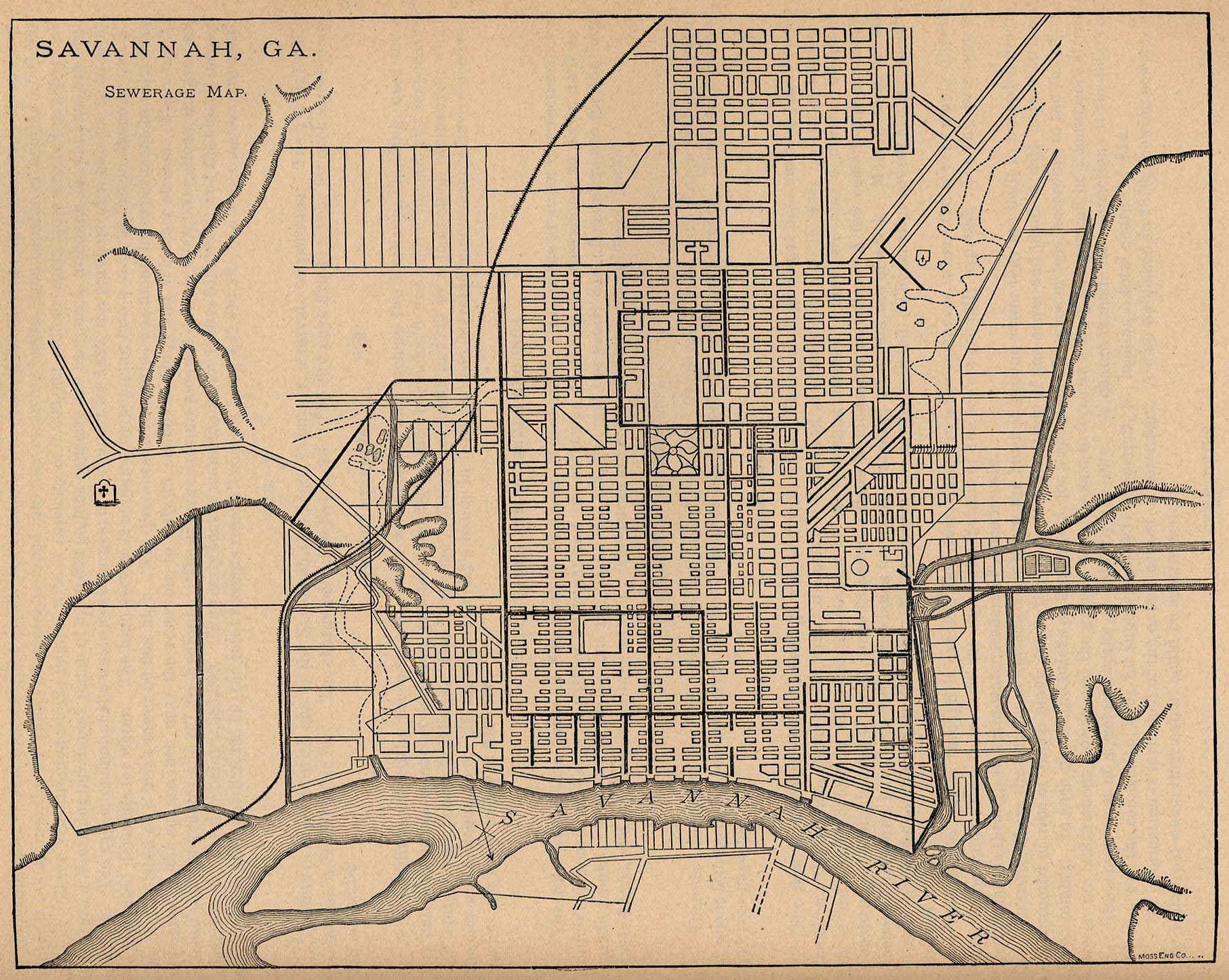
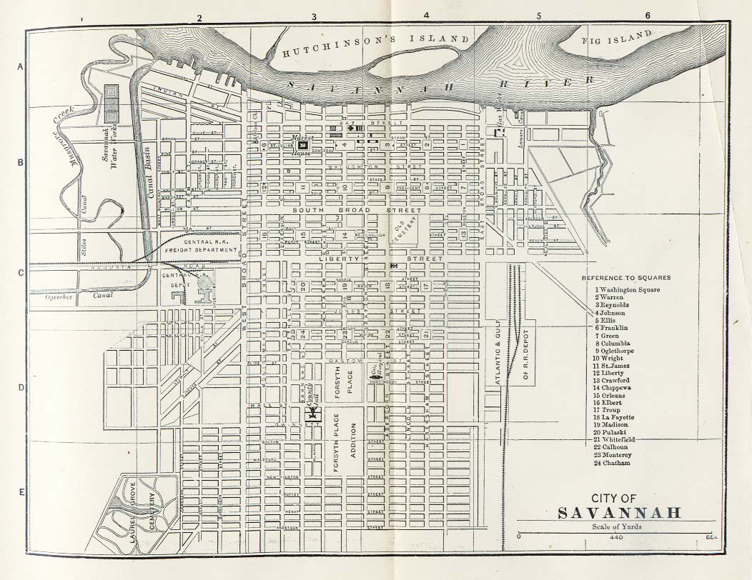
- Savannah, Georgia
- Other cities in Texas
- Panoramic plan of Abilene, 1883
- Panoramic plan of Bastrop, 1887
- Plan of Beaumont, 1850
- Panoramic plan of Belton, 1881
- Panoramic plan of Brenham, 1873
- Panoramic plan of Brenham, 1881
- Panoramic plan of Corpus Christi, 1887
- Panoramic plan of Cuero, 1881
- Panoramic plan of Dallas, 1872
- Panoramic plan of Denison, 1886, and another version
- Panoramic plan of Denton, 1883
- Panoramic plan of Eagle Pass, 1887
- Panoramic plan of El Paso, 1886
- Panoramic plan of Flatonia, 1881
- Plans of Fredericksburg, Indianola and New Braunfels, and map of Matagorda Bay, 1850
- Panoramic plan of Gainesville, 1883
- Panoramic plan of Gatesville, 1884
- Panoramic plan of Greenville, 1886, and another version
- Panoramic plan of Honey Grove, 1886, and another version
- Panoramic plan of Houston, 1873
- Panoramic plan of Jefferson, 1872
- Panoramic plan of La Grange, 1880
- Panoramic plan of McKinney, 1876
- Plan of New Braunfels, 1868
- Panoramic plan of New Braunfels, 1881
- Panoramic plan of Paris, 1885
- Panoramic plan of Schulenburg, 1881
- Plan of San Marcos, 1881
- Panoramic plan of Texarkana, 1888, and another version
- Panoramic plan of Victoria, 1873
- Panoramic plan of Waco, 1873
- Panoramic plan of Waco, 1886, and another version
- Other cities
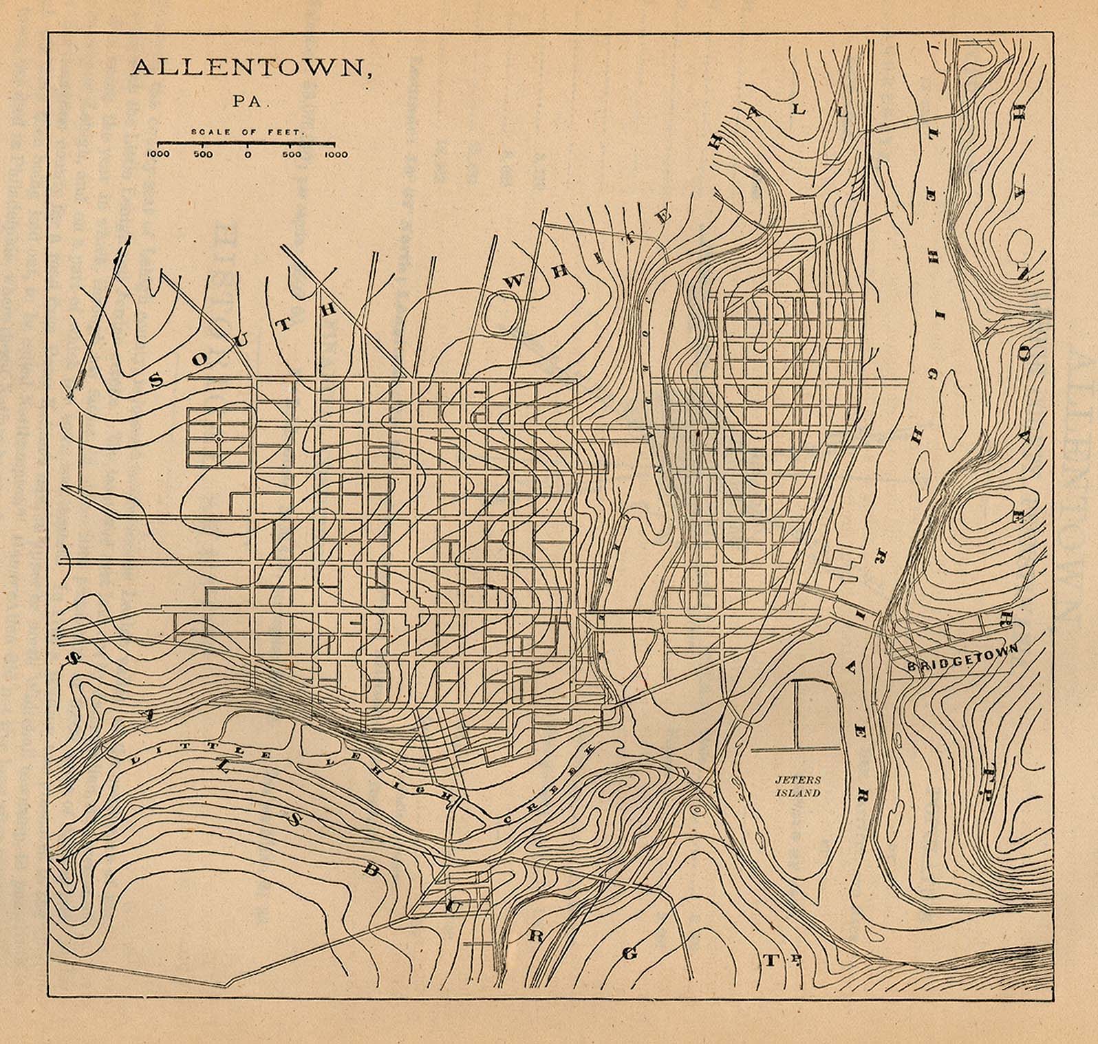
- Plan of Allentown, Pennsylvania, 1880
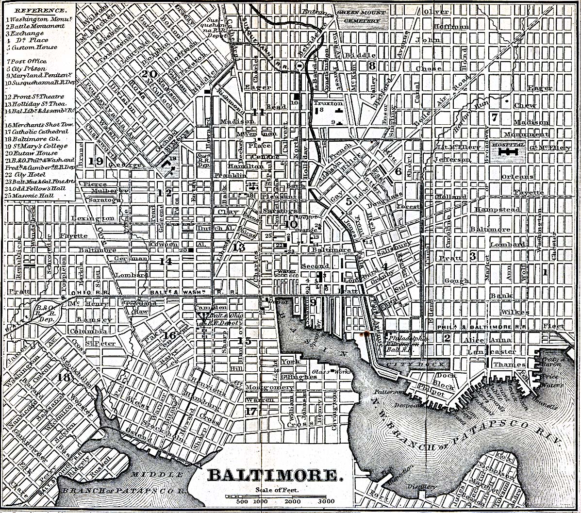
- Plan of Baltimore, 1869
- Plan of Buffalo, 1880, showing parks
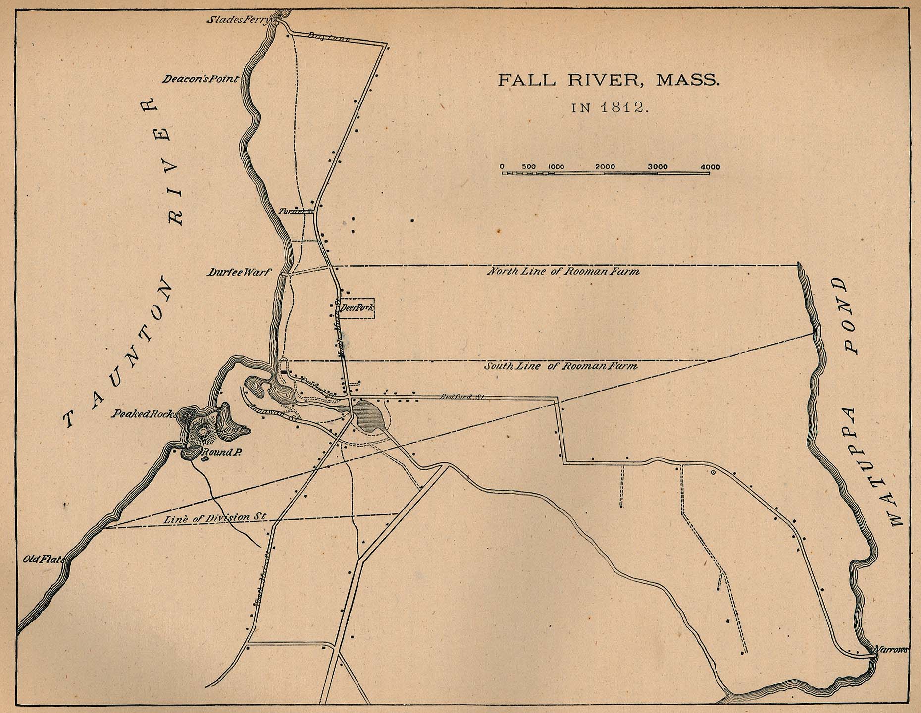
- Plan of Fall River, Massachusetts, 1812
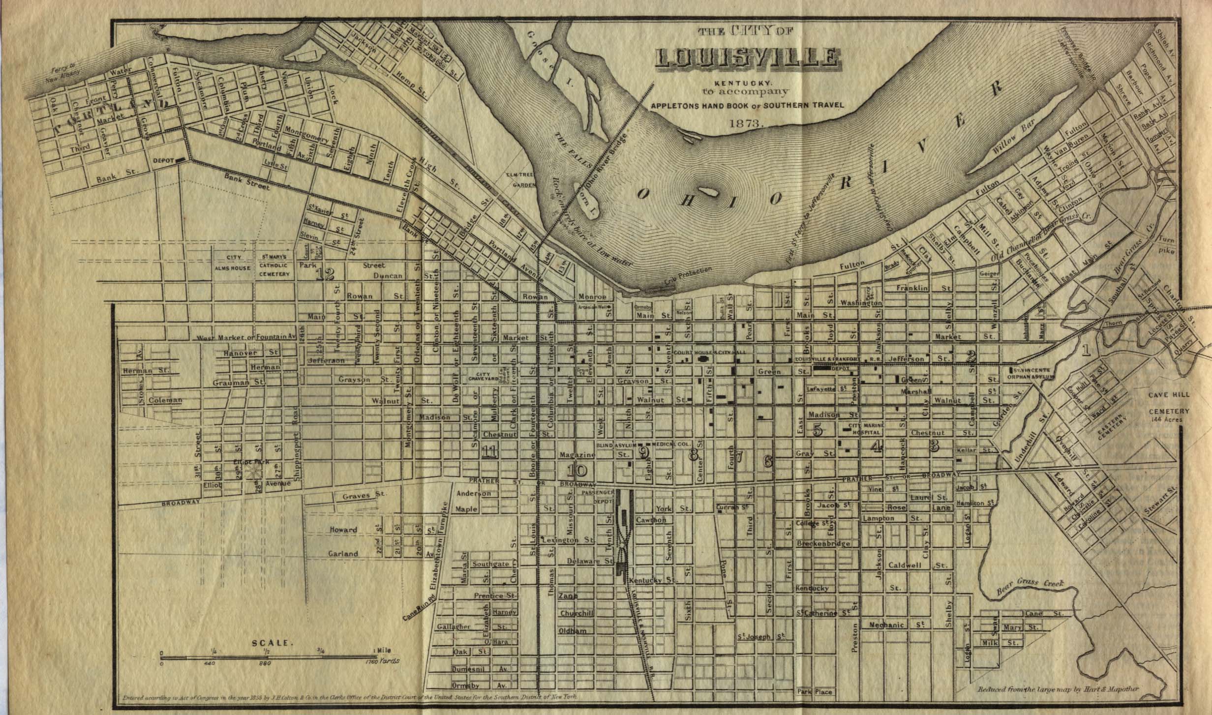
- Plan of Louisville, Kentucky, 1855
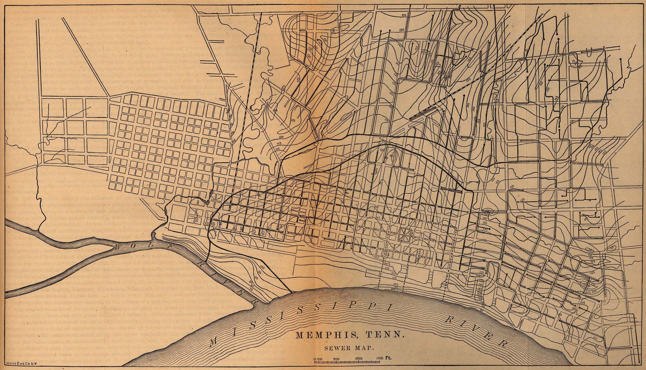
- Sewer plan of Memphis, 1880
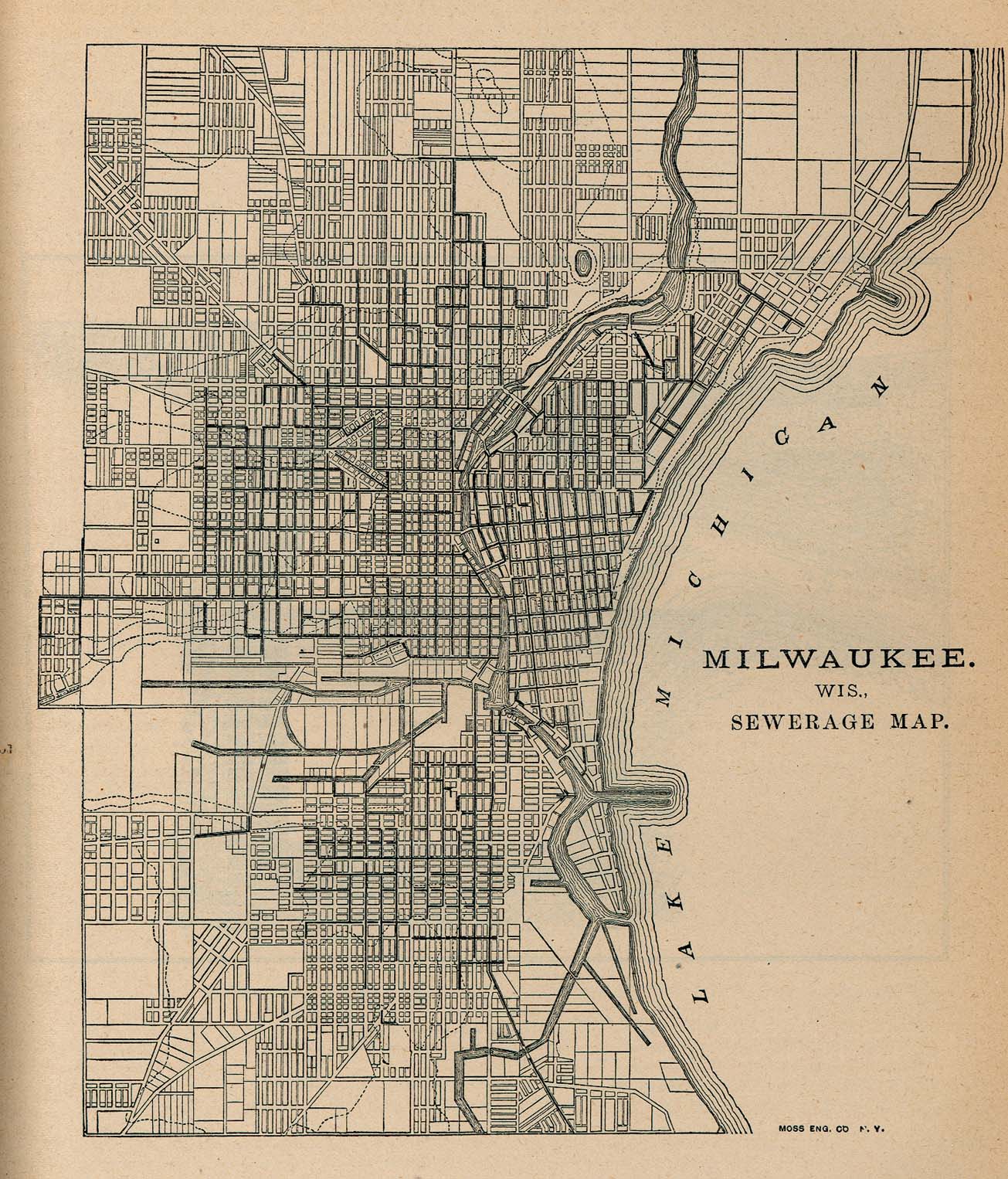
- Sewer plan of Milwaukee, 1880
- Plan of Mobile, 1815
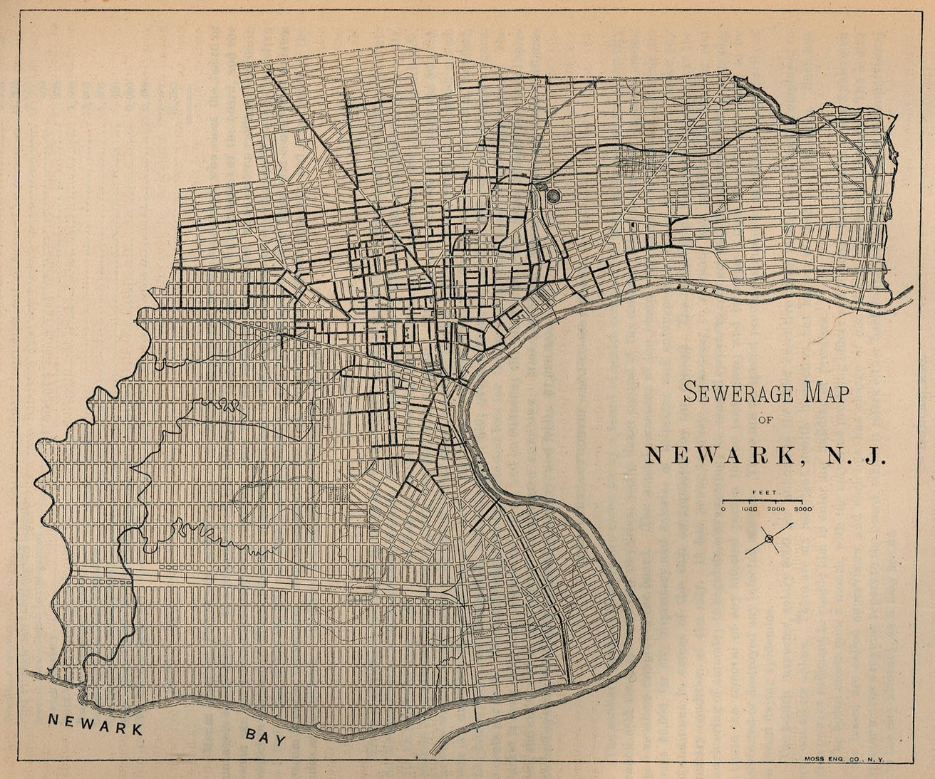
- Sewer plan of Newark, 1880
- Plan of New London, Connecticut, 1880
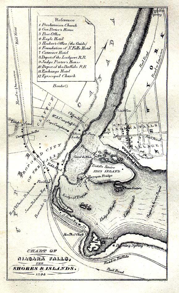
- Plan of Niagara Falls, 1844
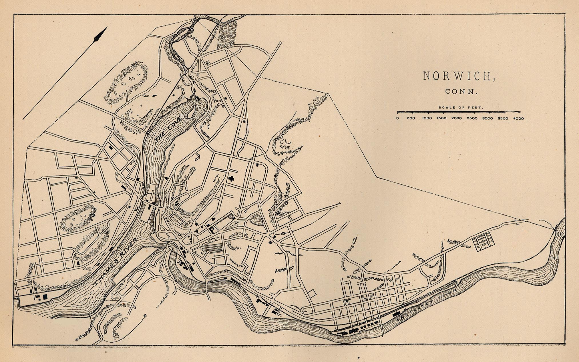
- Plan of Norwich, Connecticut, 1880
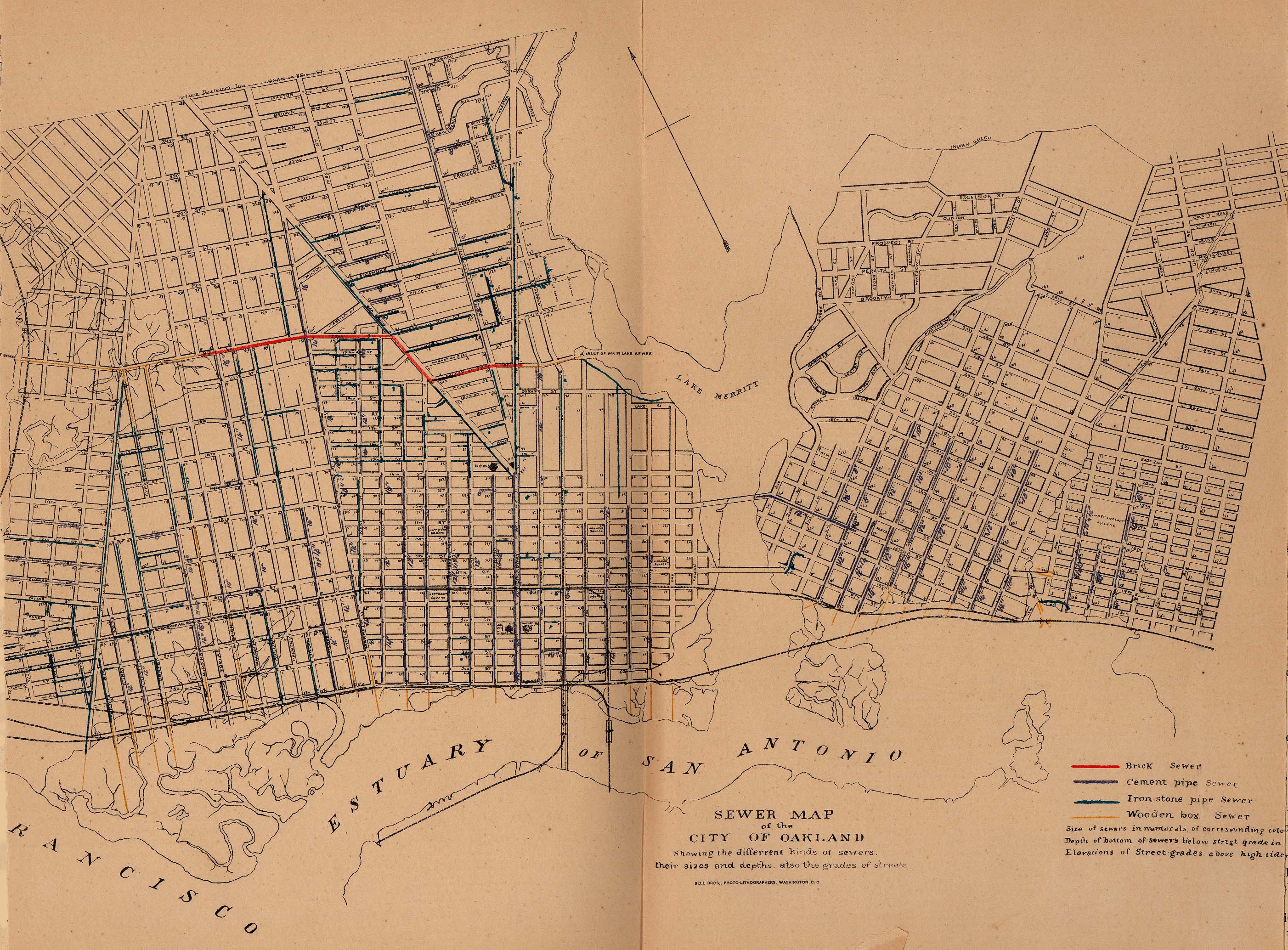
- Sewer plan of Oakland, California, 1880
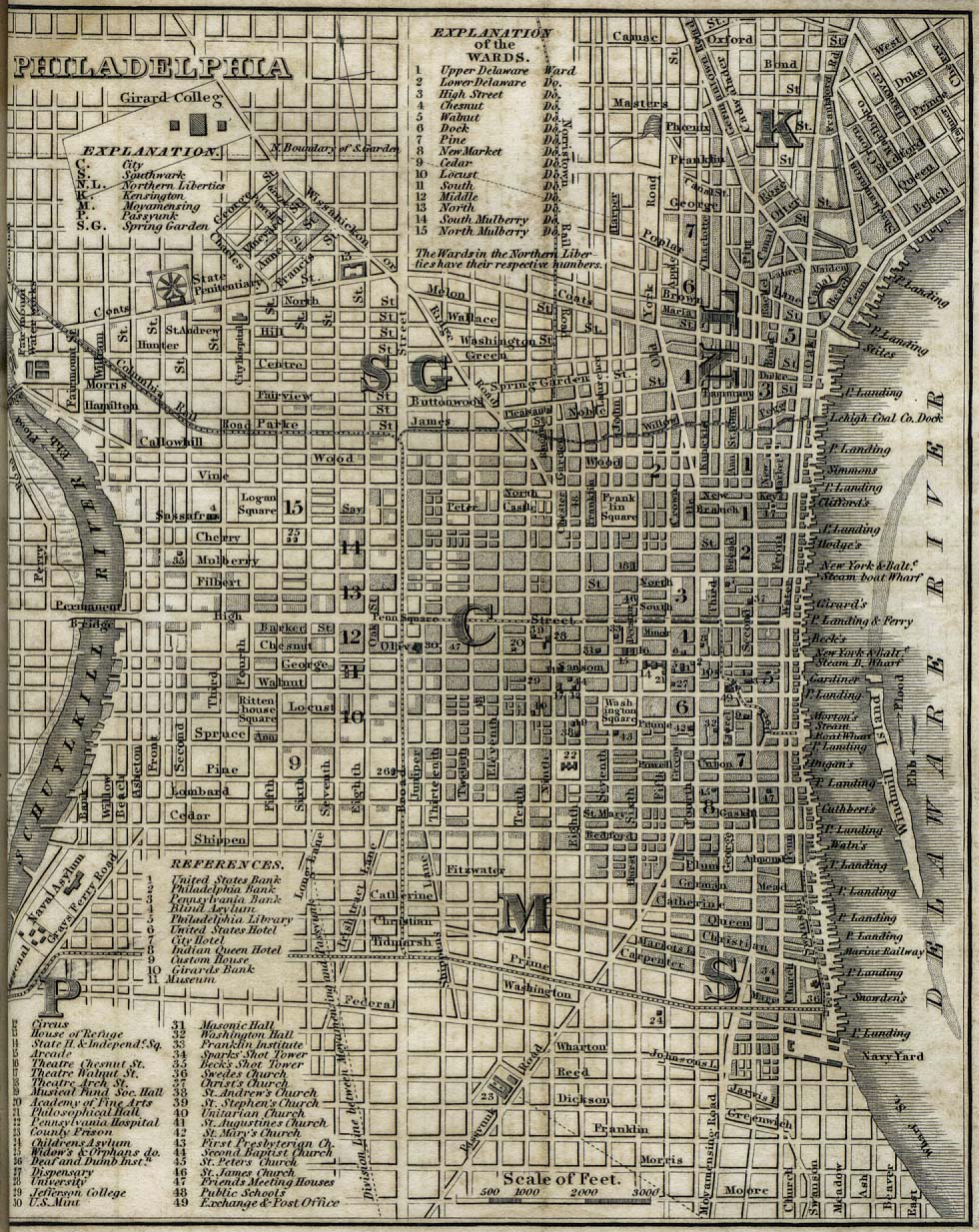
- Plan of Philadelphia, 1842
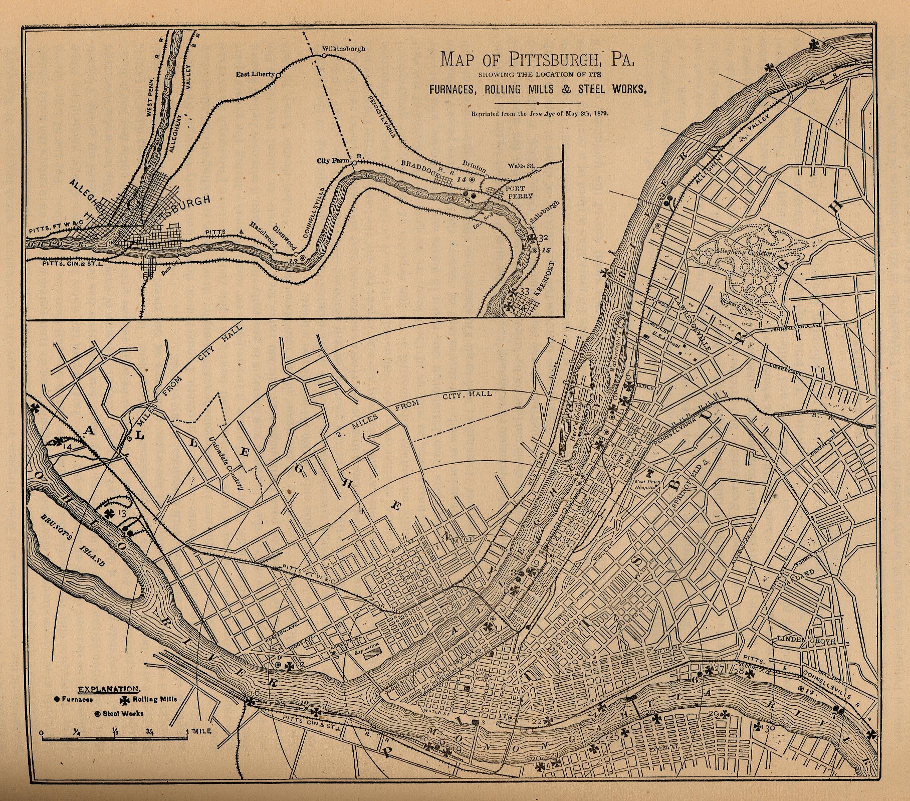
- Plan of Pittsburgh, 1879
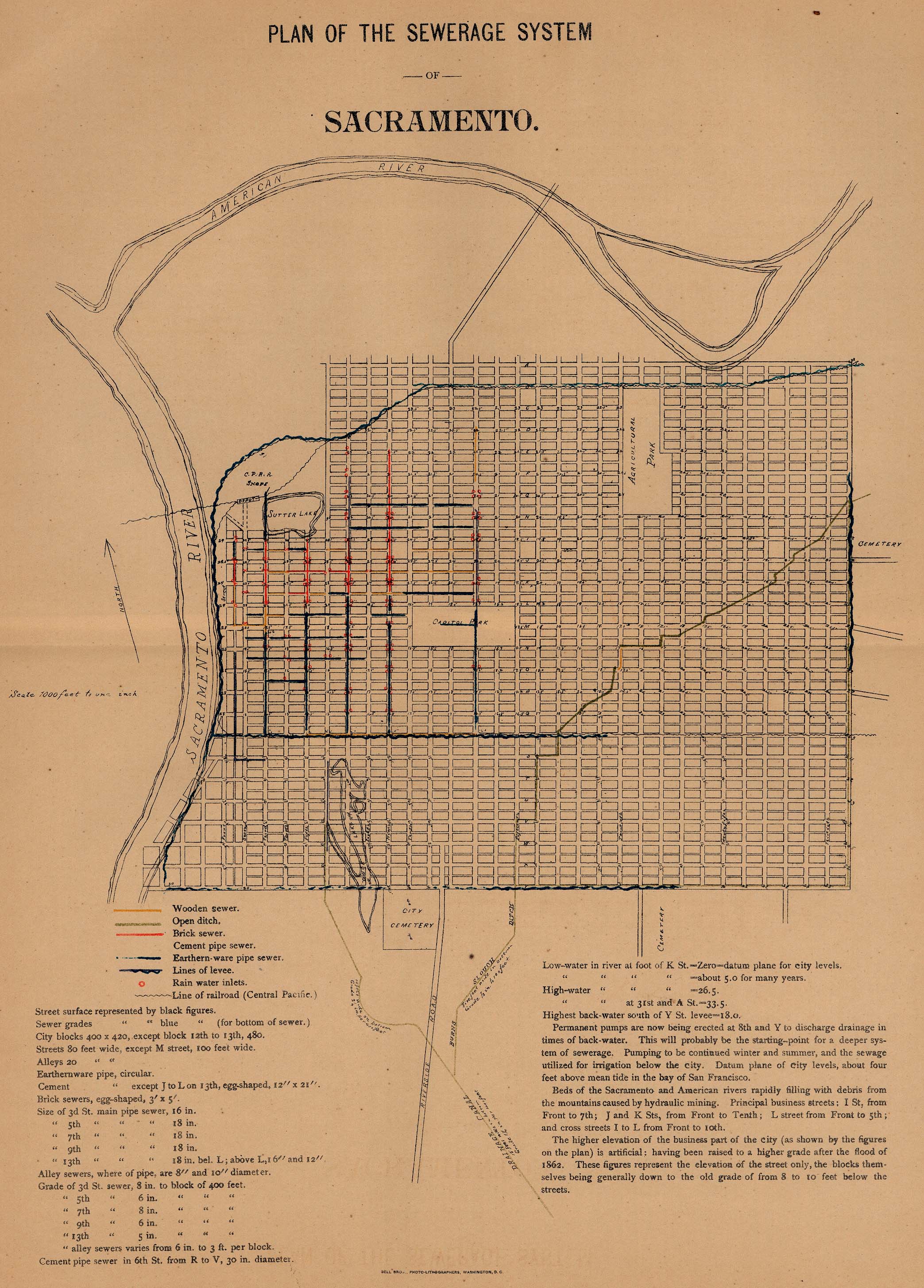
- Sewer plan of Sacramento, 1880
- Plan of St Louis, 1885
- Map of Utica, New York, and environs, 1830
- Texas
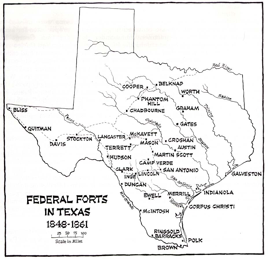
- Map of federal forts in Texas, 1848–1861
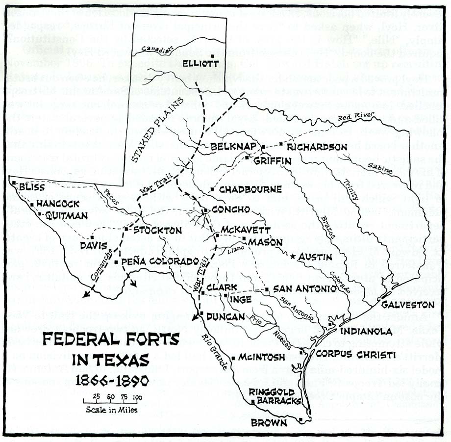
- Map of federal forts in Texas, 1866–1890
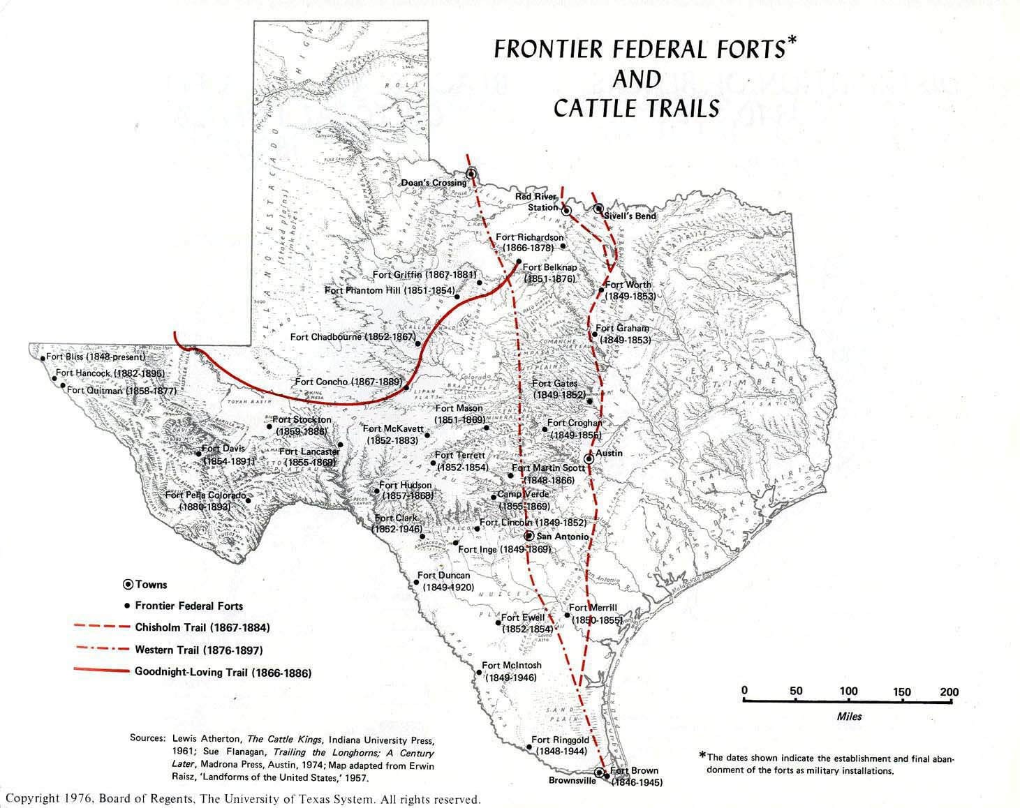
- Map of frontier federal forts and cattle trails in Texas
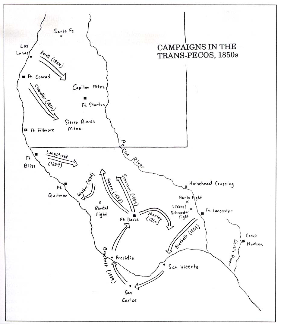
- Map of campaigns in the Trans-Pecos, 1850s
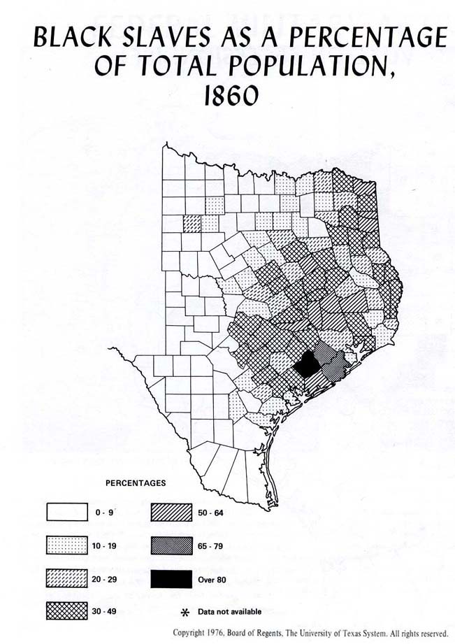
- Distribution map of slaves by percentage of population in Texas, 1860
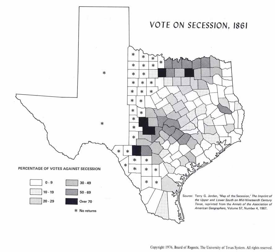
- Distribution map of votes against secession in Texas, 1861
- Plan of Fort Brown, Brownsville, 1869
- Map of Captain Marcy's route through Texas, 1854
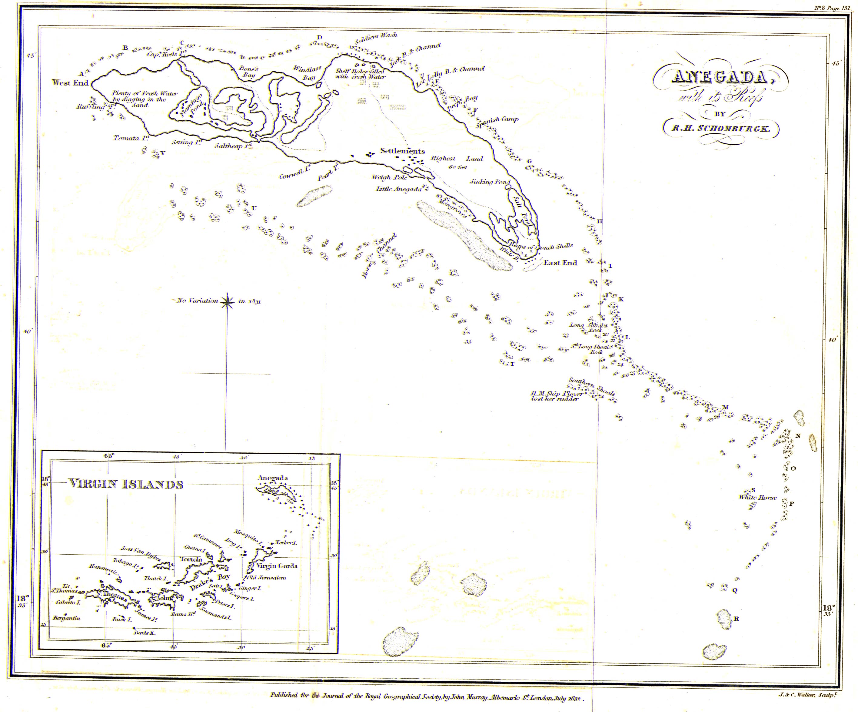
[edit] British Virgin Islands
- Maps

