Image:Mosaic at MountNebo.jpg
From Wikipedia, the free encyclopedia
No higher resolution available.
Mosaic_at_MountNebo.jpg (800 × 600 pixels, file size: 277 KB, MIME type: image/jpeg)
| | This is a file from the Wikimedia Commons. The description on its description page there is shown below.
|
[edit] Summary
| Camera location | This and other geocoded Commons images: | (Info) |
|---|
| Description |
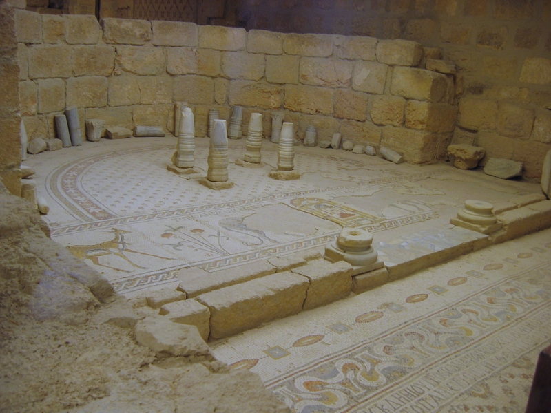
mosaic at the church on Mount Nebo |
|---|---|
| Source |
own work |
| Date |
2007-10-14 |
| Author |
DuiMDog |
| Permission (Reusing this image) |
see below |
[edit] Licensing

File history
Click on a date/time to view the file as it appeared at that time.
| Date/Time | Dimensions | User | Comment | |
|---|---|---|---|---|
| current | 15:41, 25 November 2007 | 800×600 (277 KB) | Duimdog | ({{Information |Description=mosaic at the church on Mount Nebo |Source=own work |Date=2007-10-14 |Author=DuiMDog |Permission= |other_versions= }} ) |
File links
The following pages on the English Wikipedia link to this file (pages on other projects are not listed):
Metadata
This file contains additional information, probably added from the digital camera or scanner used to create or digitize it. If the file has been modified from its original state, some details may not fully reflect the modified file.
| Camera manufacturer | 257784 |
|---|---|
| Exposure time | 43781/2 sec (21890.5) |
| F-number | f/0.0012029479839201 |
| Lens focal length | 1684.4487179487 mm |
| Image title | IMG_6788.JPG |
| Orientation | Normal |
| Vertical resolution | 0.954217572905 dpi |
| Software used | loor at the chu |
| Author | it: <a href="http://www.robogeo.com/Flickr2Map/">Google Earth</a> | <a href=" |
| Y and C positioning | 1 |
| Exif version | 2.21 |
| Image compression mode | 0.00097509446227603 |
| Shutter speed | 0.5 |
| Aperture | 4692.0357142857 |
| Exposure bias | 0.001522324894579 |
| Maximum land aperture | 0.087719298245614 |
| Metering mode | Pattern |
| Flash | 16 |
| DateTime subseconds | 765 |
| Color space | sRGB |
| Focal plane X resolution | 1 |
| Focal plane resolution unit | inches |
| Sensing method | One-chip color area sensor |
| Custom image processing | Normal process |
| Exposure mode | Auto exposure |
| White balance | Auto white balance |
| Digital zoom ratio | 0.00018310919364242 |
| Scene capture type | Standard |
| North or South Latitude | North latitude |
| East or West Longitude | East longitude |
| Altitude | 702.00677490234 |
| Geodetic survey data used | WGS 1984 |
| GPS date | 14 October 2007 |

