Image:Mobile Alabama harbor aerial view.jpg
From Wikipedia, the free encyclopedia
Size of this preview: 800 × 533 pixels
Full resolution (1,500 × 999 pixels, file size: 664 KB, MIME type: image/jpeg)
| | This is a file from the Wikimedia Commons. The description on its description page there is shown below.
|
| Description |
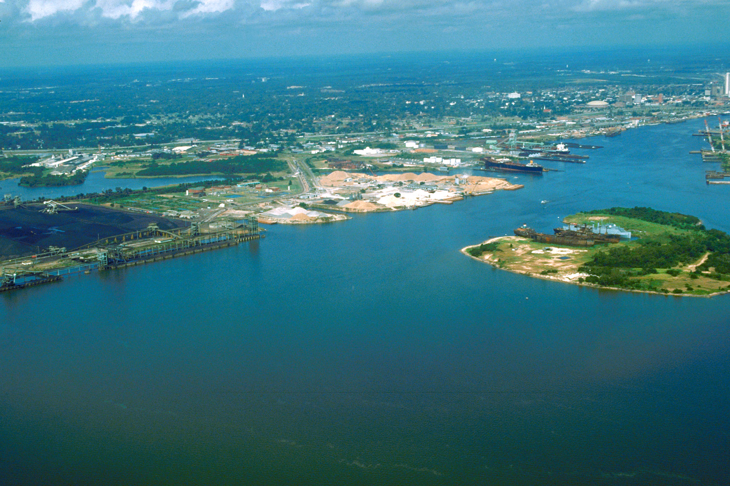
English: Aerial view of the port and city of Mobile, Alabama, USA. The view is from the harbor on Mobile Bay to the northwest over the central area of the city.
|
|||
|---|---|---|---|---|
| Source |
U.S. Army Corps of Engineers Digital Visual Library |
|||
| Date |
1999-06-15 (Caution: Dates provided by U.S. Army Corps of Engineers web pages are not reliable and are often wrong.) |
|||
| Location | Mobile, Alabama, USA 30°39′47.39″N, 88°1′59.79″W |
|||
| Author |
Adrien Lamarre, U.S. Army Corps of Engineers |
|||
| Permission |
|
|||
| Other versions of this file |
File history
Click on a date/time to view the file as it appeared at that time.
| Date/Time | Dimensions | User | Comment | |
|---|---|---|---|---|
| current | 01:30, 25 April 2007 | 1,500×999 (664 KB) | DanMS | ({{Information2 | Description = {{en|Aerial view of the port and city of Mobile, Alabama, USA. The view is from the harbor on Mobile Bay to the northwest over the central area of the city.}} | Source = U.S. Army Corps of Engineers Digital Visual) |
File links
The following pages on the English Wikipedia link to this file (pages on other projects are not listed):

