Image:MnTopo.jpg
From Wikipedia, the free encyclopedia
Size of this preview: 561 × 600 pixels
Full resolution (870 × 930 pixels, file size: 201 KB, MIME type: image/jpeg)
| | This is a file from the Wikimedia Commons. The description on its description page there is shown below.
|
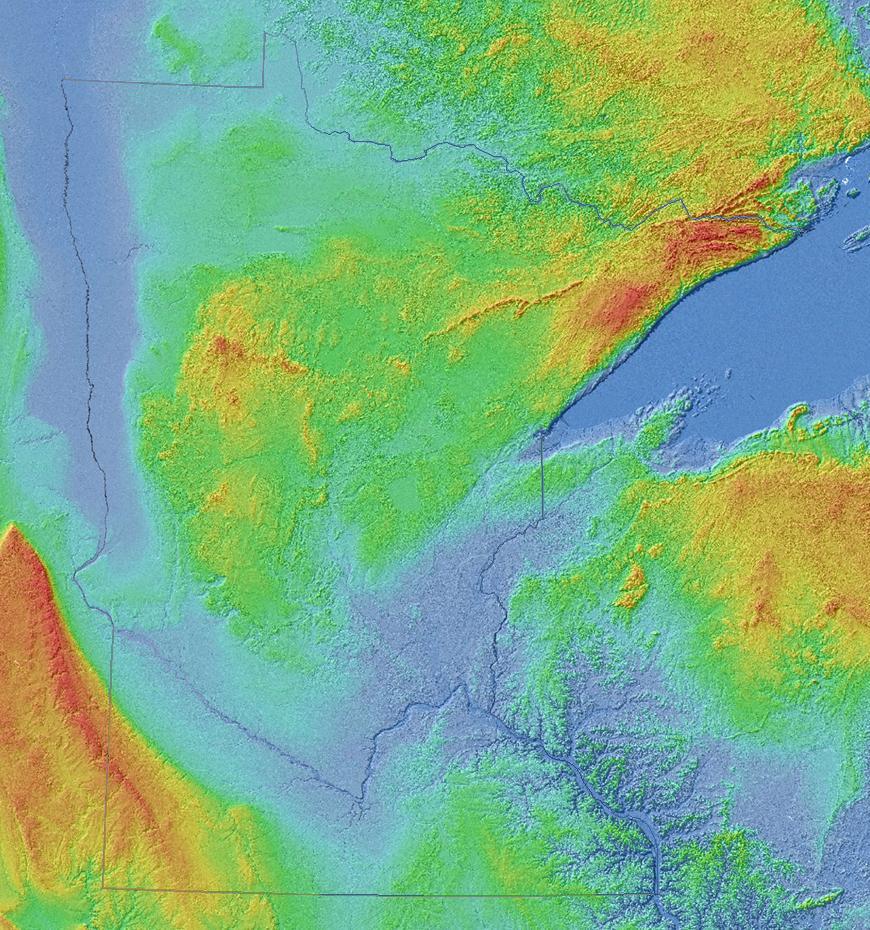
Shaded-relief image of Minnesota and adjoining landscape in central North America, 90 meter grid, Shuttle Radar Topography Mission (SRTM) of NASA Jet Propulsion Laboratory, republished by University of Minnesota Department of Geology and Geophysics. Original image has been cropped and state borders have been emphasized.
[edit] Licensing
| This work is in the public domain in the United States because it is a work of the United States Federal Government under the terms of Title 17, Chapter 1, Section 105 of the US Code. See Copyright.
Note: This only applies to works of the Federal Government and not to the work of any individual U.S. state, territory, commonwealth, county, municipality, or any other subdivision. العربية | Български | Česky | Deutsch | English | Español | Français | Magyar | Italiano | 日本語 | 한국어 | Polski | Português | 中文(繁體) | 中文(简体) | +/- |
 |
File history
Click on a date/time to view the file as it appeared at that time.
| Date/Time | Dimensions | User | Comment | |
|---|---|---|---|---|
| current | 18:51, 6 April 2008 | 870×930 (201 KB) | Kablammo | ([http://www.geo.umn.edu/mgs/srtm_15in.jpg Shaded-relief image] of Minnesota and adjoining landscape in central North America, 90 meter grid, Shuttle Radar Topography Mission (SRTM) of [http://www2.jpl.nasa.gov/srtm/) |
| 13:11, 6 April 2008 | 930×930 (216 KB) | Kablammo | ([http://www.geo.umn.edu/mgs/srtm_15in.jpg Shaded-relief image] of Minnesota and adjoining landscape in central North America, 90 meter grid, Shuttle Radar Topography Mission (SRTM) of [http://www2.jpl.nasa.gov/srtm/) |
File links
The following pages on the English Wikipedia link to this file (pages on other projects are not listed):

