Image:Mexico states map w names.png
From Wikipedia, the free encyclopedia
No higher resolution available.
Mexico_states_map_w_names.png (651 × 450 pixels, file size: 50 KB, MIME type: image/png)
| | This is a file from the Wikimedia Commons. The description on its description page there is shown below.
|
[edit] Sumario
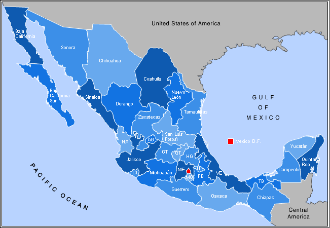
| Description |
this image is based on the one found at http://en.wikipedia.org/wiki/Image:Mexico_states_map.png |
|---|---|
| Source | |
| Date |
September 8, 2007 |
| Author |
Alex Covarrubias |
| Permission (Reusing this image) |
The author granted the following license: I, the copyright holder of this work, hereby release it into the public domain. This applies worldwide. In case this is not legally possible, I grant any entity the right to use this work for any purpose, without any conditions, unless such conditions are required by law. |
[edit] Licensing

File history
Click on a date/time to view the file as it appeared at that time.
| Date/Time | Dimensions | User | Comment | |
|---|---|---|---|---|
| current | 01:39, 9 September 2007 | 651×450 (50 KB) | Joruul | ({{Information |Description= based on http://en.wikipedia.org/wiki/Image:Mexico_states_map.png |Source= http://en.wikipedia.org/wiki/Image:Mexico_states_map.png |Date= |Author= Alex Covarrubias |Permission= The author granted the following license: I, the ) |
File links
The following pages on the English Wikipedia link to this file (pages on other projects are not listed):

