Image:Mazowsze1381.png
From Wikipedia, the free encyclopedia
Size of this preview: 611 × 599 pixels
Full resolution (3,130 × 3,071 pixels, file size: 910 KB, MIME type: image/png)
| | This is a file from the Wikimedia Commons. The description on its description page there is shown below.
|

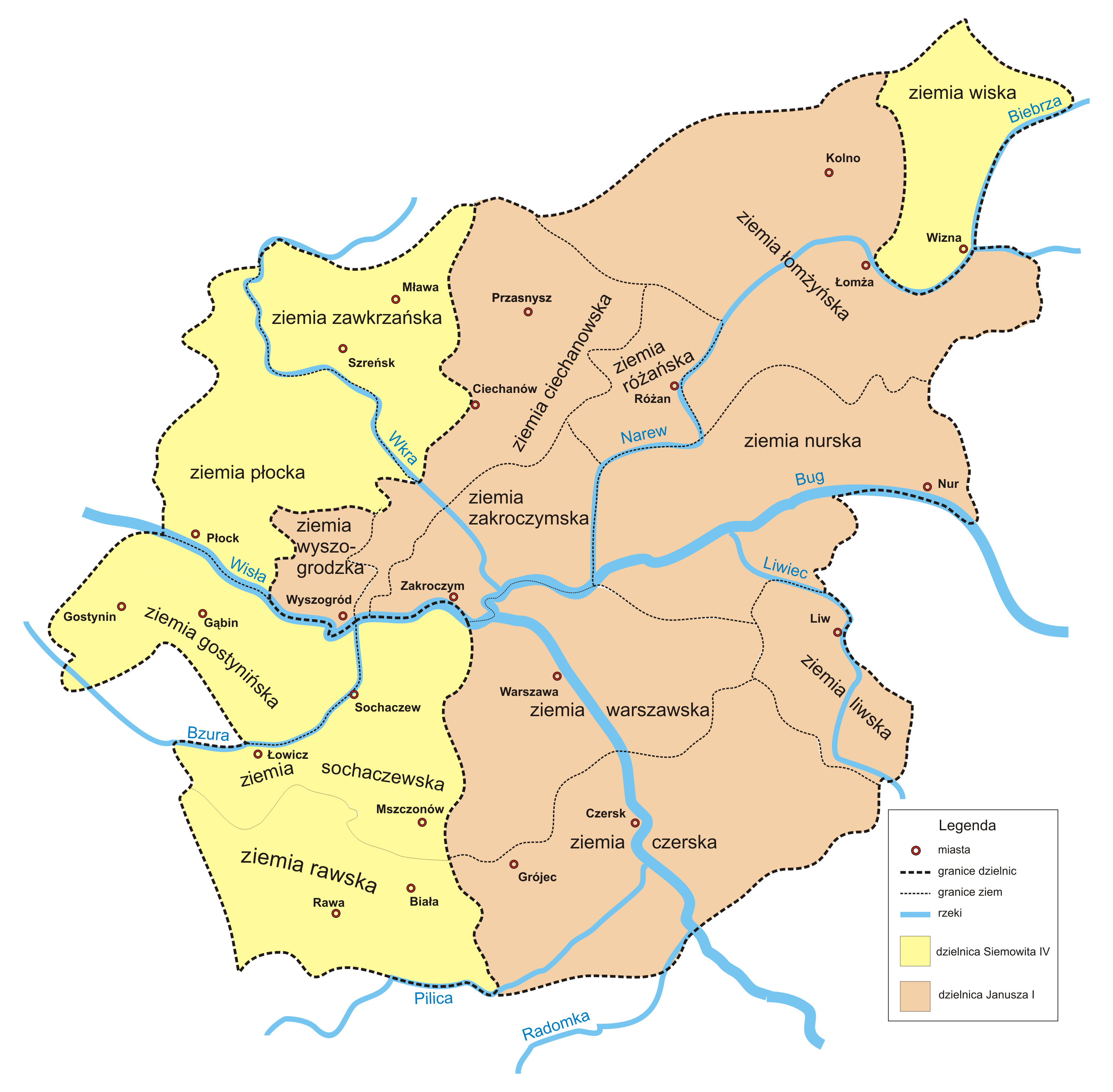
Polski: podział Mazowsza (1381-1426)
English: Division of Masovia 1381-1426
File history
Click on a date/time to view the file as it appeared at that time.
| Date/Time | Dimensions | User | Comment | |
|---|---|---|---|---|
| current | 09:47, 26 July 2005 | 3,130×3,071 (910 KB) | Fjl | ({{GFDL}} Division of Masovia 1381-1426 Category:Historical maps of Poland) |
| 11:11, 30 June 2005 | 3,130×3,071 (910 KB) | Fjl | ({{GFDL}} Division of Masovia 1381-1426 Category:Historical maps of Poland) | |
| 10:31, 30 June 2005 | 3,130×3,071 (907 KB) | Fjl | ({{GFDL}} Division of Masovia 1381-1426 Category:Historical maps of Poland) |
File links
The following pages on the English Wikipedia link to this file (pages on other projects are not listed):

