Maryland Route 49
From Wikipedia, the free encyclopedia
 |
|||||||||||||
| MD Route 49 |
|||||||||||||
| Braddock Road Maintained by MDSHA |
|||||||||||||
 |
|||||||||||||
| Length: | 1.02 mi[1] (1.64 km) | ||||||||||||
|---|---|---|---|---|---|---|---|---|---|---|---|---|---|
| West end: | |||||||||||||
| Major junctions: |
|||||||||||||
| East end: | Intersection of Greene and Fayette Streets in Cumberland | ||||||||||||
|
|||||||||||||
Maryland Route 49 is an east/west route located in the U.S. state of Maryland. Also known as Braddock Road, the route runs from Maryland Route 658 in LaVale, Allegany County east to the city limits of Cumberland, Allegany County.
Contents |
[edit] Cities and towns
[edit] Route description
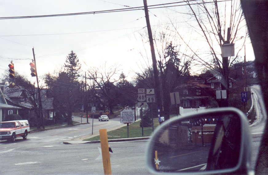
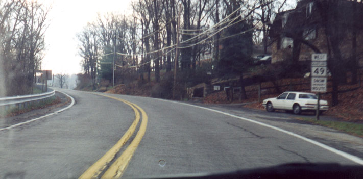
Braddock Road is a two-lane state highway in Allegany County, Maryland, starting at Maryland Route 658 (Vocke Road)[2] in LaVale. The official eastern terminus of the route is at Sunset Drive near the Cumberland city limits[2], but the route is signed as Maryland Route 49 to the intersection of Greene and Fayette streets in Cumberland.[3][4] The route interchanges with Interstate 68 twice: once at its western terminus at its intersection with Maryland Route 658,[2] and via a westbound exit at its intersection with Seton Drive.[5]
[edit] History
The route currently taken by Maryland Route 49 follows the historical Braddock Road over Haystack Mountain from Cumberland. Prior to the construction of Interstate 68, Maryland Route 49 extended further west than its current terminus. Portions of the former route now form Maryland Route 949.
[edit] Junction list
| Location | Mile[2][6] | Destinations | Notes |
|---|---|---|---|
| LaVale | 0.00 | Western terminus of |
|
| 0.00 | Exit 40; westbound exit only | ||
| 0.35 | Locust Street | ||
| 1.02 | Sunset Drive | End of state maintenance. |
|
| Cumberland | 1.76 | Exit 41; westbound exit only | |
| 1.76 | Seton Drive | ||
| 2.69 | Fayette Street/Greene Street | Eastern terminus of Braddock Road |

