Image:Maricopa County Arizona Annex Timeline Map.gif
From Wikipedia, the free encyclopedia
Size of this preview: 635 × 600 pixels
Full resolution (1,800 × 1,700 pixels, file size: 598 KB, MIME type: image/gif)
| | This is a file from the Wikimedia Commons. The description on its description page there is shown below.
|
[edit] Summary
| Description |
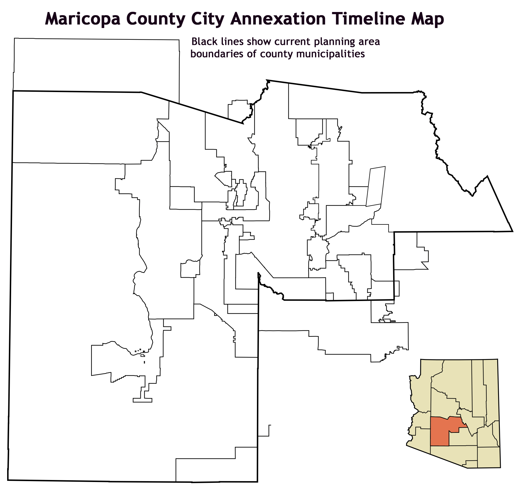
Animated .gif displaying a timeline of the incorporation and annexation of areas in Maricopa County, Arizona. This image was made by me using data from the Maricopa County Government website ([1]) |
|---|---|
| Source |
self-made |
| Date |
January 22, 2008 |
| Author | |
| Permission (Reusing this image) |
see below |
[edit] Licensing

File history
Click on a date/time to view the file as it appeared at that time.
| Date/Time | Dimensions | User | Comment | |
|---|---|---|---|---|
| current | 02:55, 23 January 2008 | 1,800×1,700 (598 KB) | Ixnayonthetimmay | ({{Information |Description=Animated .gif displaying a timeline of the incorporation and annexation of areas in Maricopa County, Arizona. This image was made by [[:en:User) |
File links
The following pages on the English Wikipedia link to this file (pages on other projects are not listed):

