Image:Mapa de l'Horta Sud.png
From Wikipedia, the free encyclopedia
No higher resolution available.
Mapa_de_l'Horta_Sud.png (400 × 400 pixels, file size: 44 KB, MIME type: image/png)
| | This is a file from the Wikimedia Commons. The description on its description page there is shown below.
|
This image was copied from wikipedia:ca. The original description was:
| This file is licensed under Creative Commons Attribution ShareAlike 2.0 License (cc-by-sa-2.0). In short: you are free to share and make derivative works of the file under the conditions that you appropriately attribute it, and that you distribute it under this or a similar cc-by-sa license. |
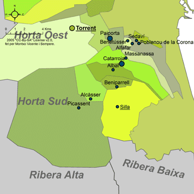
Fet per Montxo Vicente i Sempere, el 7 d'abril de 2005.
| date/time | username | edit summary |
|---|---|---|
| 19:33 7 abr, 2005 | Martorell | ({{Cc-by-sa-2.0}} Fet per Montxo Vicente i Sempere, el 7 d'abril de 2005.) |
File history
Click on a date/time to view the file as it appeared at that time.
| Date/Time | Dimensions | User | Comment | |
|---|---|---|---|---|
| current | 21:13, 12 October 2005 | 400×400 (44 KB) | Martorell | (This image was copied from wikipedia:ca. The original description was: {{Cc-by-sa-2.0}} Fet per Montxo Vicente i Sempere, el 7 d'abril de 2005. {| border="1" ! date/time || username || edit summary |---- | 19:33 7 abr, 2005 || Martorell || <nowiki>({{) |
File links
The following pages on the English Wikipedia link to this file (pages on other projects are not listed):

