Image:Mapa Imperio Muisca.PNG
From Wikipedia, the free encyclopedia
Size of this preview: 454 × 599 pixels
Full resolution (1,000 × 1,320 pixels, file size: 89 KB, MIME type: image/png)
| | This is a file from the Wikimedia Commons. The description on its description page there is shown below.
|
[edit] Sumario
| Description |
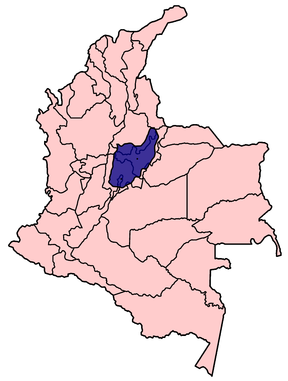
English: Pink: political map of the current Republic of Colombia. Blue: area of the en:Muisca empire at its peak (1535).
Español: En rosado: mapa político de la República de Colombia en la actualidad. En azul: área del Imperio Muisca en su momento cumbre (1535).
|
|---|---|
| Source |
 English: Based on Golbez's map of the departments of Colombia.
Español: Basado en el mapa de los departamentos de Colombia de Golbez.
Italiano: Basato sulla mappa dei dipartimenti della Colombia disegnata da Golbez.
|
| Date |
English: October 22, 2006
Español: Octubre 22, 2006
Italiano: Ottobre 22, 2006
|
| Author | |
| Permission (Reusing this image) |
GFDL, cc-by-2.5 |
| Other versions | Colombia departments spanish.png |
[edit] Licensing

| This file is licensed under Creative Commons Attribution 2.5 License In short: you are free to distribute and modify the file as long as you attribute its author(s) or licensor(s). |
File history
Click on a date/time to view the file as it appeared at that time.
| Date/Time | Dimensions | User | Comment | |
|---|---|---|---|---|
| current | 13:52, 23 October 2006 | 1,000×1,320 (89 KB) | Oscarín | ({{Information |Description= Mapa del Imperio Muisca: Mapa de la República de Colombia en la actualidad (color rosa). en su interior (azul), area del Imperio Muisca en su momento cumbre (1535). |Source= Trabajo propio |Date= octuber 22, 2006 |Author= [[U) |
File links
The following pages on the English Wikipedia link to this file (pages on other projects are not listed):

