Image:Map of maryland counties.jpg
From Wikipedia, the free encyclopedia
Size of this preview: 800 × 429 pixels
Full resolution (814 × 436 pixels, file size: 43 KB, MIME type: image/jpeg)
| | This is a file from the Wikimedia Commons. The description on its description page there is shown below.
|
[edit] Summary
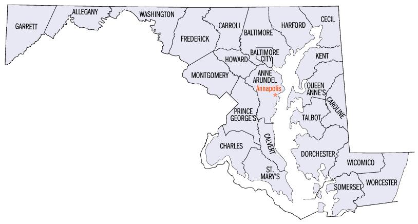
Map of Maryland counties Used at English wikipedia
[edit] Licensing
 |
Permission is granted to copy, distribute and/or modify this document under the terms of the GNU Free Documentation License, Version 1.2 or any later version published by the Free Software Foundation; with no Invariant Sections, no Front-Cover Texts, and no Back-Cover Texts. Subject to disclaimers. Asturianu | Български | Català | Deutsch | English | Español | Français | Gaeilge | Italiano | 한국어 | 日本語 | Polski | Português | Română | Türkçe | +/- |
File history
Click on a date/time to view the file as it appeared at that time.
| Date/Time | Dimensions | User | Comment | |
|---|---|---|---|---|
| current | 20:36, 16 July 2006 | 814×436 (43 KB) | JosN | (Map of Maryland counties Used at English wikipedia category:Maps of Maryland) |
File links
The following pages on the English Wikipedia link to this file (pages on other projects are not listed):

