Image:Map of Sheffield, Warren County, Pennsylvania Highlighted.png
From Wikipedia, the free encyclopedia
Size of this preview: 757 × 600 pixels
Full resolution (1,587 × 1,257 pixels, file size: 97 KB, MIME type: image/png)
| | This is a file from the Wikimedia Commons. The description on its description page there is shown below.
|
| Description |
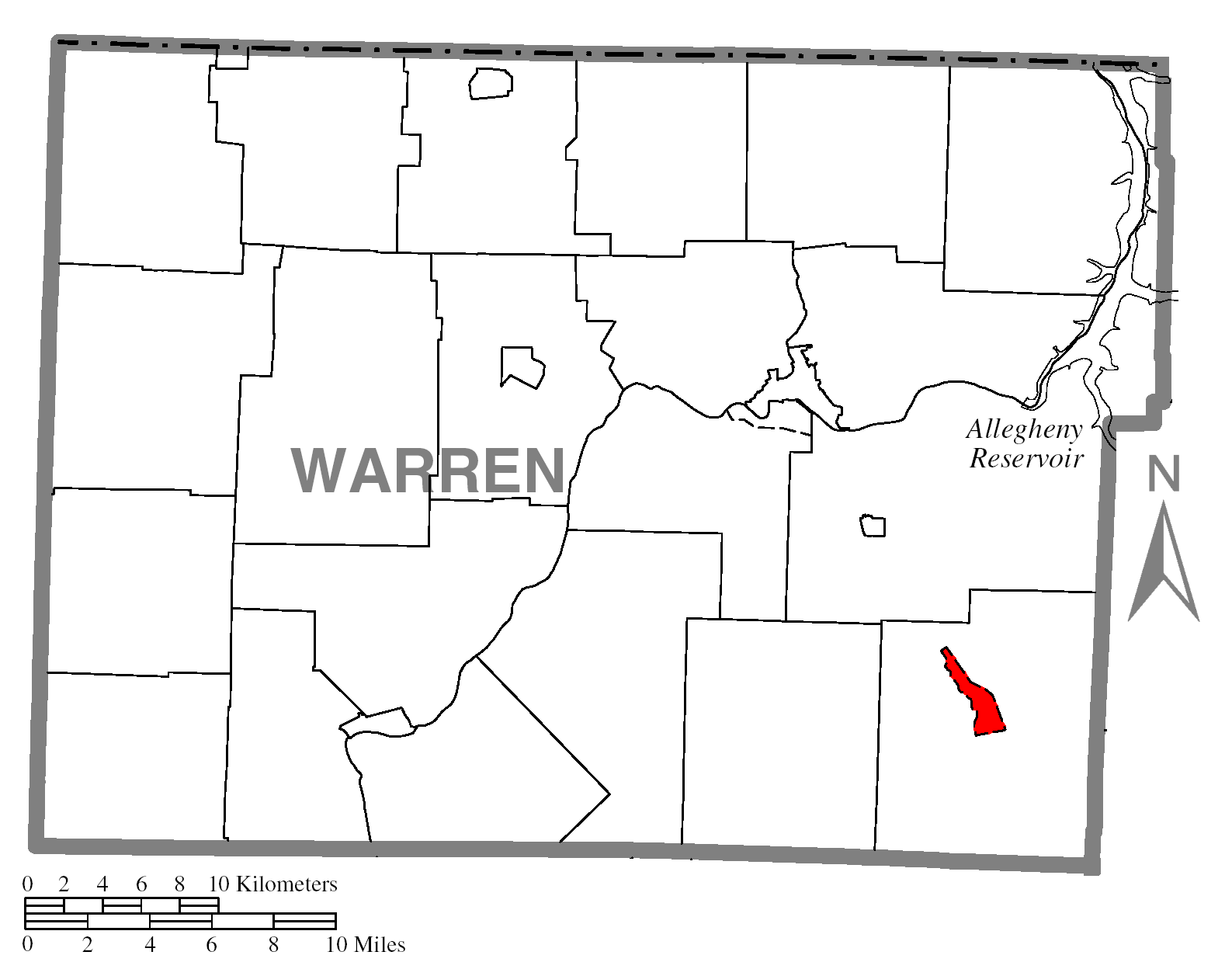
Map of Warren County higlighting Sheffield. |
|---|---|
| Source |
Source image taken from the United States Census Bureau's website pa_cosub.pdf. |
| Date |
Wednesday, April 16, 2008 |
| Author | |
| Permission (Reusing this image) |
see below |
| Other versions | Image:Map of Warren County, Pennsylvania No Text.png - Version without text |
[edit] Licensing
| I, the copyright holder of this work, hereby release it into the public domain. This applies worldwide. In case this is not legally possible: Afrikaans | Alemannisch | Aragonés | العربية | Asturianu | Български | Català | Česky | Cymraeg | Dansk | Deutsch | Eʋegbe | Ελληνικά | English | Español | Esperanto | Euskara | Estremeñu | فارسی | Français | Galego | 한국어 | हिन्दी | Hrvatski | Ido | Bahasa Indonesia | Íslenska | Italiano | עברית | Kurdî / كوردی | Latina | Lietuvių | Latviešu | Magyar | Македонски | Bahasa Melayu | Nederlands | Norsk (bokmål) | Norsk (nynorsk) | 日本語 | Polski | Português | Ripoarisch | Română | Русский | Shqip | Slovenčina | Slovenščina | Српски / Srpski | Svenska | ไทย | Tagalog | Türkçe | Українська | Tiếng Việt | Walon | 中文(简体) | 中文(繁體) | zh-yue-hant | +/- |
File history
Click on a date/time to view the file as it appeared at that time.
| Date/Time | Dimensions | User | Comment | |
|---|---|---|---|---|
| current | 20:11, 16 April 2008 | 1,587×1,257 (97 KB) | Dtbohrer | ({{Information |Description=Map of Warren County higlighting Sheffield. |Source=Source image taken from the United States Census Bureau's website [http://www2.census.gov/geo/maps/general_ref/) |

