Image:Map of Serbia (Kosovo and Metohija).PNG
From Wikipedia, the free encyclopedia
Size of this preview: 426 × 599 pixels
Full resolution (976 × 1,372 pixels, file size: 1,022 KB, MIME type: image/png)
| | This is a file from the Wikimedia Commons. The description on its description page there is shown below.
|
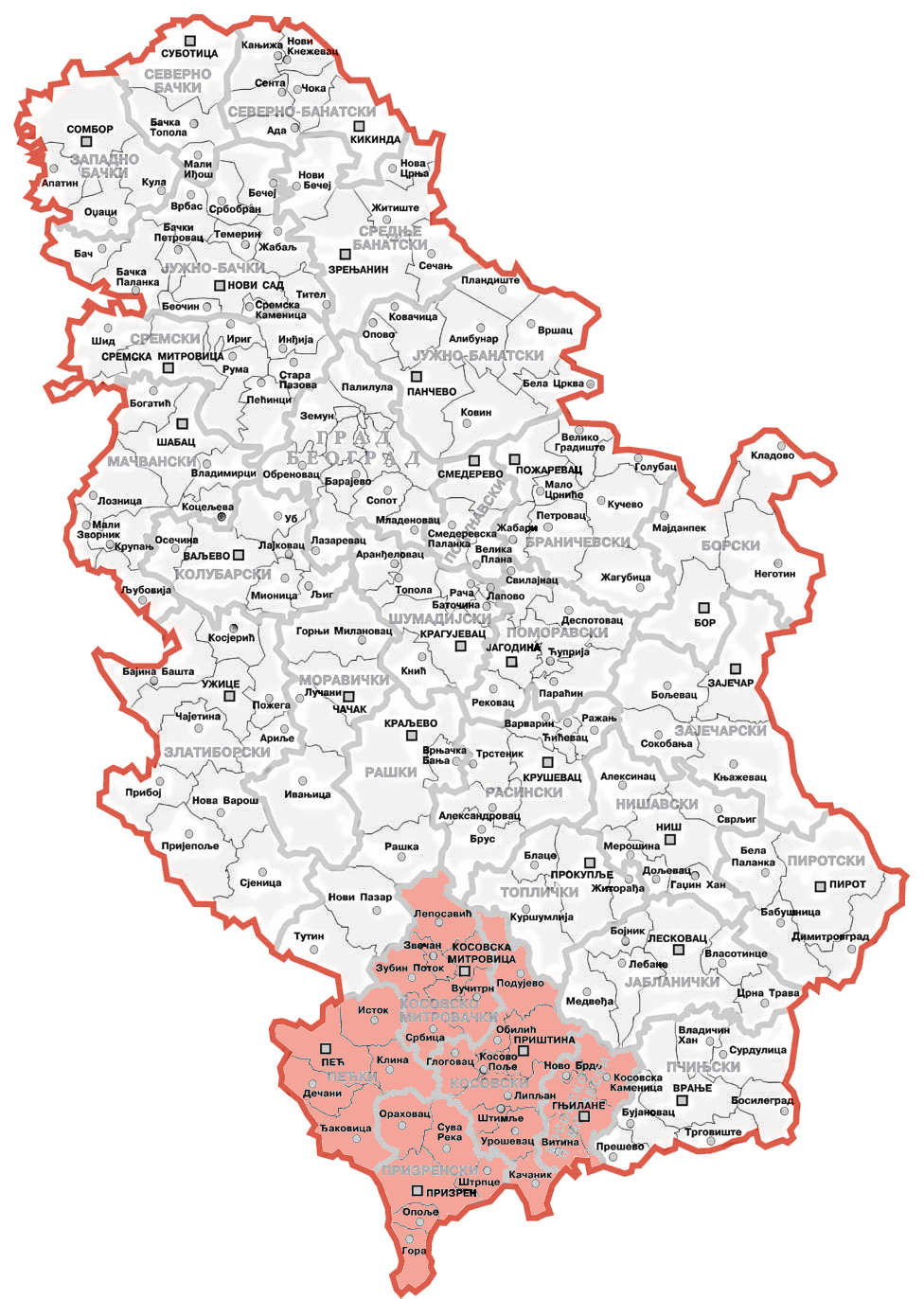
| Description |
Map of Kosovo and Metohija within Serbia |
||
|---|---|---|---|
| Source | |||
| Date |
July 12th 2006 |
||
| Author | |||
| Permission (Reusing this image) |
|
File history
Click on a date/time to view the file as it appeared at that time.
| Date/Time | Dimensions | User | Comment | |
|---|---|---|---|---|
| current | 05:55, 13 July 2006 | 976×1,372 (1,022 KB) | Sasa Stefanovic | |
| 00:53, 13 July 2006 | 976×1,372 (816 KB) | Bože pravde | ({{Information |Description=Map of Kosovo and Metohija within Serbia |Source=[http://commons.wikimedia.org/wiki/Image:Map_of_Serbia_%28municipalities%29.PNG] |Date=July 12th 2006 |Author=Bože pravde |Permission={{PD-self}} |other_ver) |


![[1]](http://commons.wikimedia.org/wiki/Image:Map_of_Serbia_%28municipalities%29.PNG)
.PNG)