Image:Map of MacKey Salt Works 1887.png
From Wikipedia, the free encyclopedia
No higher resolution available.
Map_of_MacKey_Salt_Works_1887.png (632 × 471 pixels, file size: 649 KB, MIME type: image/png)
| | This is a file from the Wikimedia Commons. The description on its description page there is shown below.
|
 |
This image was moved to Wikimedia Commons from en.wikipedia using a bot script. All source information is still present. It requires review because CommonSense could not categorise the image during transfer. Additionally, there may be errors in any or all of the information fields; information on this image should not be considered reliable and the image should not be used until it has been reviewed and any needed corrections have been made. Once the review has been completed, this template should be removed. For details, see below. |
| Description |
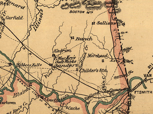
English: Detail of an 1887 map from the Libray of Congress and is in the public domain. en:Category:Oklahoma maps
|
|---|---|
| Source |
Transferred from en.wikipedia |
| Date |
2007-02-02 (original upload date) |
| Author |
Original uploader was OKtag at en.wikipedia |
| Permission (Reusing this image) |
PD-US. |
[edit] License information
|
|
This media file is in the public domain in the United States. This applies to U.S. works where the copyright has expired, often because its first publication occurred prior to January 1, 1923. See this page for further explanation.
|
|
|
Deutsch | English | Español | Français | Gaeilge | Galego | Italiano | Nederlands | 中文(简体) | +/- |
||
|
|
This image might not be in the public domain outside of the United States (this especially applies in Canada, China (not Hong Kong, Macao, or Taiwan Area), Germany, Mexico, and Switzerland). The creator and year of publication are essential information and must be provided. See Wikipedia:Public domain and Wikipedia:Copyrights for more details. |
[edit] Original upload log
The original description page is/was here. All following user names refer to en.wikipedia.
- 2007-02-02 22:52 OKtag 632×471×8 (664415 bytes) Detail of an 1887 map from the Libray of Congress and is in the public domain.
File history
Click on a date/time to view the file as it appeared at that time.
| Date/Time | Dimensions | User | Comment | |
|---|---|---|---|---|
| current | 21:33, 6 April 2008 | 632×471 (649 KB) | File Upload Bot (Magnus Manske) | ( {{BotMoveToCommons|en.wikipedia}} {{Information |Description={{en|Detail of an 1887 map from the Libray of Congress and is in the public domain. en:Category:Oklahoma maps}} |Source=Transferred from [http://en.wikipedia.org en.wikipedia] |Date=2007-) |

