Image:Map of Lafourche Parish Louisiana With Municipal Labels.PNG
From Wikipedia, the free encyclopedia
Size of this preview: 601 × 600 pixels
Full resolution (932 × 930 pixels, file size: 87 KB, MIME type: image/png)
| | This is a file from the Wikimedia Commons. The description on its description page there is shown below.
|
| Description |
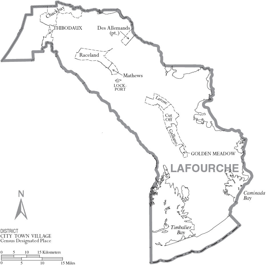
Map of Lafourche Parish, Louisiana, United States with municipal boundaries |
|---|---|
| Source |
taken from US Census website [1] and modified by User:Ruhrfisch |
| Date |
July 2007 |
| Author |
US Census, Ruhrfisch |
| Permission (Reusing this image) |
US Census / US Government work is public domain, my modifications licensed under the GNU Free Documentation License |
| Other versions | Image:Map of Lafourche Parish Louisiana With Municipal and District Labels.PNG with district boundaries |
[edit] Licensing
|

and
| This image or other media is a work of a United States Census Bureau employee, taken or made during the course of an employee's official duties. As a work of the U.S. federal government, the image is in the public domain |  |
File history
Click on a date/time to view the file as it appeared at that time.
| Date/Time | Dimensions | User | Comment | |
|---|---|---|---|---|
| current | 11:27, 20 July 2007 | 932×930 (87 KB) | Ruhrfisch | ( {{Information| |Description= Map of Lafourche Parish, Louisiana, United States with municipal boundaries |Source= taken from US Census website [http://www2.census.gov/geo/maps/general_ref/cousub_outline/cen2k_pgsz/la_cosub.pdf] and modified by [[User:Ru) |
File links
The following pages on the English Wikipedia link to this file (pages on other projects are not listed):

