Image:Map of La Guajira municipalities.png
From Wikipedia, the free encyclopedia
Size of this preview: 712 × 599 pixels
Full resolution (2,018 × 1,699 pixels, file size: 589 KB, MIME type: image/png)
| | This is a file from the Wikimedia Commons. The description on its description page there is shown below.
|
[edit] Summary
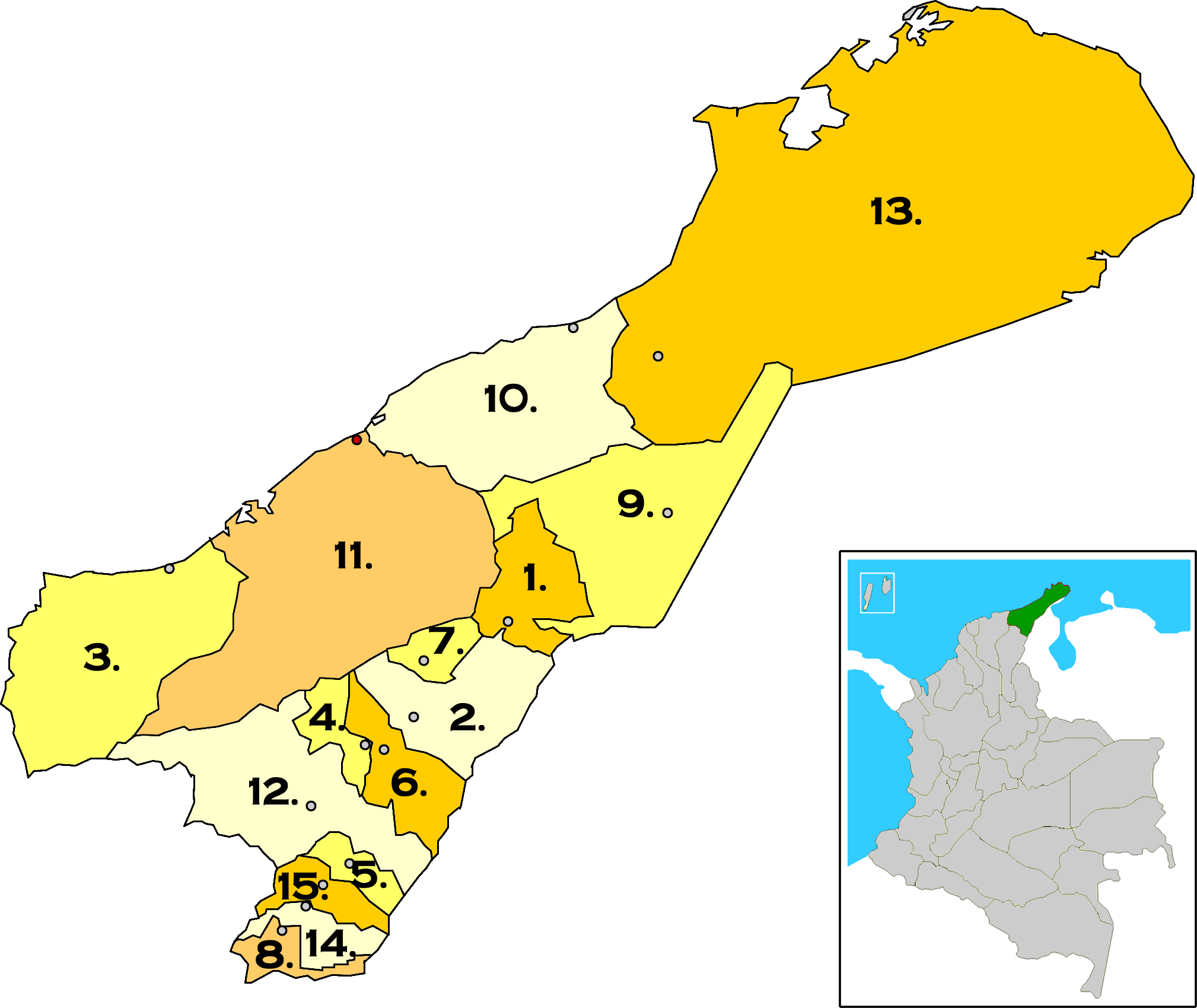
| Description |
Map of La Guajira municipalities, Colombia. |
|---|---|
| Source |
self-made |
| Date |
April 3, 2008 |
| Author | |
| Permission (Reusing this image) |
see below |
[edit] Licensing

File history
Click on a date/time to view the file as it appeared at that time.
| Date/Time | Dimensions | User | Comment | |
|---|---|---|---|---|
| current | 15:32, 3 April 2008 | 2,018×1,699 (589 KB) | F3rn4nd0 | ({{Information |Description=Map of La Guajira municipalities, Colombia 1. Albania<br> 2. Barrancas<br> 3. Dibulla<br> 4. Distracción<br> 5. El Molino<br> 6. Fonseca<br> 7. Hatonuevo<br> 8. La Jagua del Pilar<br> 9. Maicao<br> 10. Manaure<br> 11. Riohacha) |
File links
The following pages on the English Wikipedia link to this file (pages on other projects are not listed):

