Image:Map of Canton Graubunden.png
From Wikipedia, the free encyclopedia
Size of this preview: 800 × 571 pixels
Full resolution (1,003 × 716 pixels, file size: 167 KB, MIME type: image/png)
| | This is a file from the Wikimedia Commons. The description on its description page there is shown below.
|
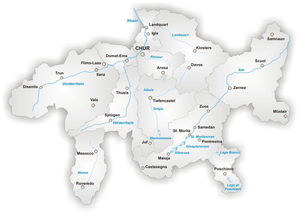
Kanton Graubünden, selbstgezeichnet von Tschubby
Artist: de:Benutzer:Tschubby
Source: http://upload.wikimedia.org/wikipedia/de/e/e9/Karte_Kanton_Graub%C3%BCnden.png

File history
Click on a date/time to view the file as it appeared at that time.
| Date/Time | Dimensions | User | Comment | |
|---|---|---|---|---|
| current | 12:11, 3 January 2005 | 1,003×716 (167 KB) | Londenp | (Kanton Graubünden, selbstgezeichnet von Tschubby ) |
File links
The following file is a duplicate of this file:
The following pages on the English Wikipedia link to this file (pages on other projects are not listed):

