Image:Map of Arkansas.png
From Wikipedia, the free encyclopedia
No higher resolution available.
Map_of_Arkansas.png (300 × 262 pixels, file size: 16 KB, MIME type: image/png)
| | This is a file from the Wikimedia Commons. The description on its description page there is shown below.
|
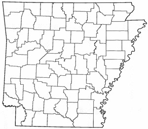
A map of Arkansas with county boundaries drawn. Created by Messedrocker from Image:Sharp County Arkansas.png and Image:Union County Arkansas.png.

| This file is licensed under Creative Commons Attribution 2.0 License |
File history
Click on a date/time to view the file as it appeared at that time.
| Date/Time | Dimensions | User | Comment | |
|---|---|---|---|---|
| current | 11:13, 1 May 2006 | 300×262 (16 KB) | Messedrocker | (A map of Arkansas with county boundaries drawn. Created by User:Messedrocker from Image:Sharp County Arkansas.png and Image:Union County Arkansas.png. {{GFDL}} {{cc-by-2.0}} Category:Maps of Arkansas) |
File links
The following pages on the English Wikipedia link to this file (pages on other projects are not listed):

