Image:Map elbe mouth 1910.jpg
From Wikipedia, the free encyclopedia

Size of this preview: 800 × 535 pixels
Full resolution (1,176 × 787 pixels, file size: 713 KB, MIME type: image/jpeg)
| | This is a file from the Wikimedia Commons. The description on its description page there is shown below.
|
[edit] Beschreibung
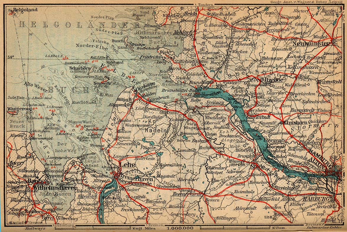
| Description |
Mouth of Elbe |
|---|---|
| Source |
http://www.lib.utexas.edu/maps/historical/baedeker_n_germany_1910/elbe_mouth_1910.jpg |
| Date |
1910 |
| Author |
"Northern Germany as far as the Bavarian and Austrian Frontiers; Handbook for Travellers" by Karl Baedeker. Fifteenth Revised Edition. Leipzig, Karl Baedeker; New York, Charles Scribner's Sons 1910. |
| Permission (Reusing this image) |
"Courtesy of the University of Texas Libraries, The University of Texas at Austin." http://www.lib.utexas.edu/maps/map_sites/hist_sites.html |
[edit] Licensing
| This image (or other media file) is in the public domain because its copyright has expired. This applies to the United States, Canada, the European Union and those countries with a copyright term of life of the author plus 70 years.
العربية | Asturianu | Български | Català | Česky | Dansk | Deutsch | English | Ελληνικά | Esperanto | Español | Euskara | فارسی | Français | Gaeilge | Galego | עברית | हिन्दी | Bahasa Indonesia | Italiano | 日本語 | 한국어 | Kurdî / كوردی | Lietuvių | Magyar | Nederlands | Norsk (nynorsk) | Bahasa Melayu | Polski | Português | Română | Русский | Slovenčina | Slovenščina | Shqip | Suomi | Sámegiella | Türkçe | 中文(简体) | 中文(繁體) | 粵語 | +/- |
File history
Click on a date/time to view the file as it appeared at that time.
| Date/Time | Dimensions | User | Comment | |
|---|---|---|---|---|
| current | 01:02, 25 April 2006 | 1,176×787 (713 KB) | 700 MB | (cut off the scan background) |
| 00:52, 25 April 2006 | 1,177×787 (681 KB) | 700 MB | (tried to remove the stain) | |
| 23:34, 22 April 2006 | 1,177×787 (371 KB) | 700 MB | ({{Information| |Description=Mouth of Elbe |Source=http://www.lib.utexas.edu/maps/historical/baedeker_n_germany_1910/elbe_mouth_1910.jpg |Date=1910 |Author="Northern Germany as far as the Bavarian and Austrian Frontiers; Handbook for Travellers" by Karl Ba) |

