Image:Map-st-domingo-silos-spain.png
From Wikipedia, the free encyclopedia
Size of this preview: 739 × 600 pixels
Full resolution (1,842 × 1,495 pixels, file size: 94 KB, MIME type: image/png)
| | This is a file from the Wikimedia Commons. The description on its description page there is shown below.
|
[edit] Summary
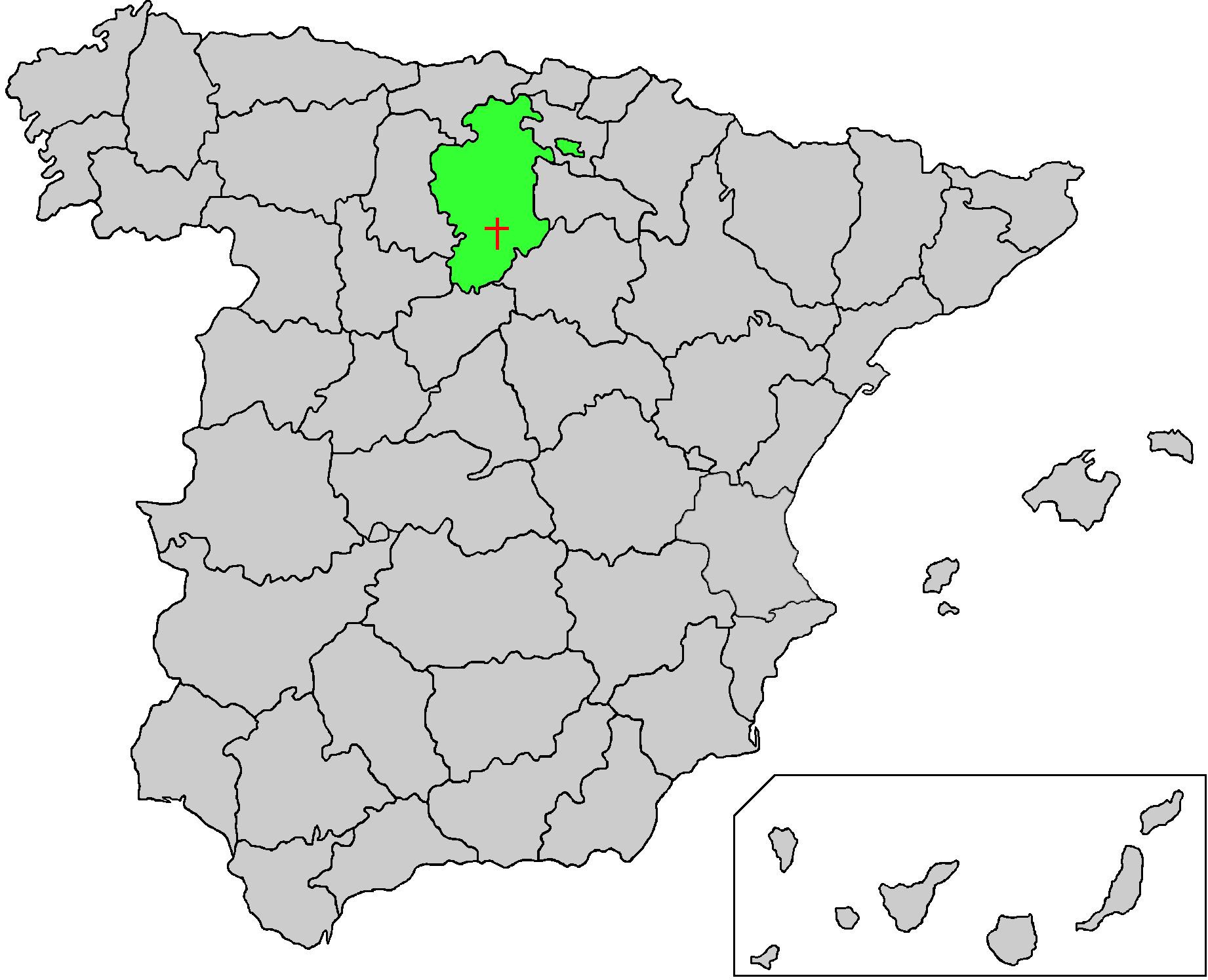
Map of Spain with the province of Burgos highlighted showing the location of the monastery of Santo Domingo de Silos. Created by Mark Somoza.
[edit] Licensing
|
File history
Click on a date/time to view the file as it appeared at that time.
| Date/Time | Dimensions | User | Comment | |
|---|---|---|---|---|
| current | 21:14, 27 February 2006 | 1,842×1,495 (94 KB) | Somoza | (Map of Spain with the province of Burgos highlighted showing the location of the monastery of Santo Domingo de Silos. Created by Mark Somoza.) |
File links
The following pages on the English Wikipedia link to this file (pages on other projects are not listed):

