Image:Manitoulin Island.jpg
From Wikipedia, the free encyclopedia
Size of this preview: 778 × 599 pixels
Full resolution (1,280 × 986 pixels, file size: 282 KB, MIME type: image/jpeg)
| | This is a file from the Wikimedia Commons. The description on its description page there is shown below.
|
| Description |
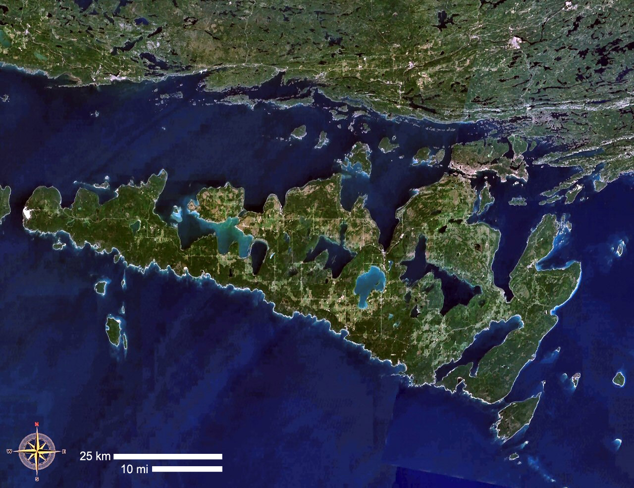
Manitoulin Island, Ontario, Canada |
|---|---|
| Source |
NASA WorldWind |
| Date | |
| Author | |
| Permission (Reusing this image) |
see below |
| This image is in the public domain because it is a screenshot from NASA’s globe software World Wind using Blue Marble, Landsat or USGS layer, all of which are in public domain. |
|
File history
Click on a date/time to view the file as it appeared at that time.
| Date/Time | Dimensions | User | Comment | |
|---|---|---|---|---|
| current | 14:36, 5 September 2006 | 1,280×986 (282 KB) | P199 | ({{Information |Description= Manitoulin Island, Ontario, Canada |Source= NASA WorldWind |Date= |Author= |Permission= |other_versions= }}) |
File links
The following pages on the English Wikipedia link to this file (pages on other projects are not listed):

