Image:Maloelap&Aur atoll (satellite).jpg
From Wikipedia, the free encyclopedia
No higher resolution available.
Maloelap&Aur_atoll_(satellite).jpg (639 × 435 pixels, file size: 93 KB, MIME type: image/jpeg)
| | This is a file from the Wikimedia Commons. The description on its description page there is shown below.
|
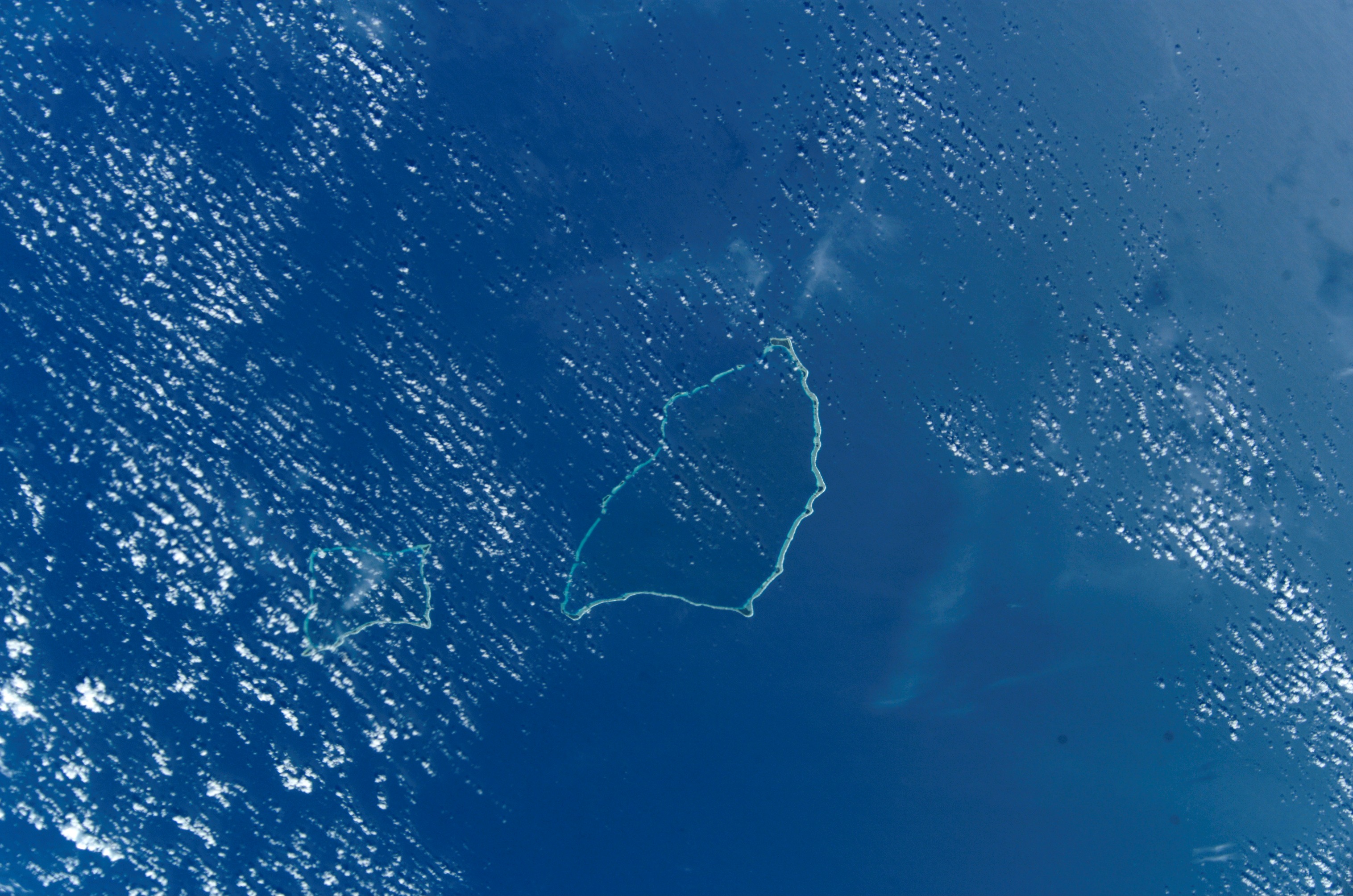
Maloelap Atoll.Marshal islands. From http://eol.jsc.nasa.gov/scripts/sseop/photo.pl?mission=ISS004&roll=E&frame=10164&QueryResultsFile=11280825067482.tsv ISS004 mission. Date: 2002:04:19 GMT Time: 22:31:34 Nadir Point Latitude: N13.9, Longitude: E171.1 Photo Center Direction: South
|
|
This file is in the public domain because it was created by NASA. NASA copyright policy states that "NASA material is not protected by copyright unless noted". (NASA copyright policy page or JPL Image Use Policy).
Deutsch | English | Español | Français | Nederlands | Português | Русский | 中文(简体) | 中文(繁體) | +/- |
|
 |
Warnings:
|
File history
Click on a date/time to view the file as it appeared at that time.
| Date/Time | Dimensions | User | Comment | |
|---|---|---|---|---|
| current | 12:25, 30 September 2005 | 639×435 (93 KB) | Los688 | (Maloelap Atoll.Marshal islands. From http://eol.jsc.nasa.gov/scripts/sseop/photo.pl?mission=ISS004&roll=E&frame=10164&QueryResultsFile=11280825067482.tsv ISS004 mission. Date: 2002:04:19 GMT Time: 22:31:34 Nadir Point Latitude: N13.9, Longitude: E171.1 Ph) |
File links
The following pages on the English Wikipedia link to this file (pages on other projects are not listed):

