Image:Location Tawantin Suyu.png
From Wikipedia, the free encyclopedia
Size of this preview: 800 × 370 pixels
Full resolution (1,357 × 628 pixels, file size: 36 KB, MIME type: image/png)
| | This is a file from the Wikimedia Commons. The description on its description page there is shown below.
|
[edit] Sumario
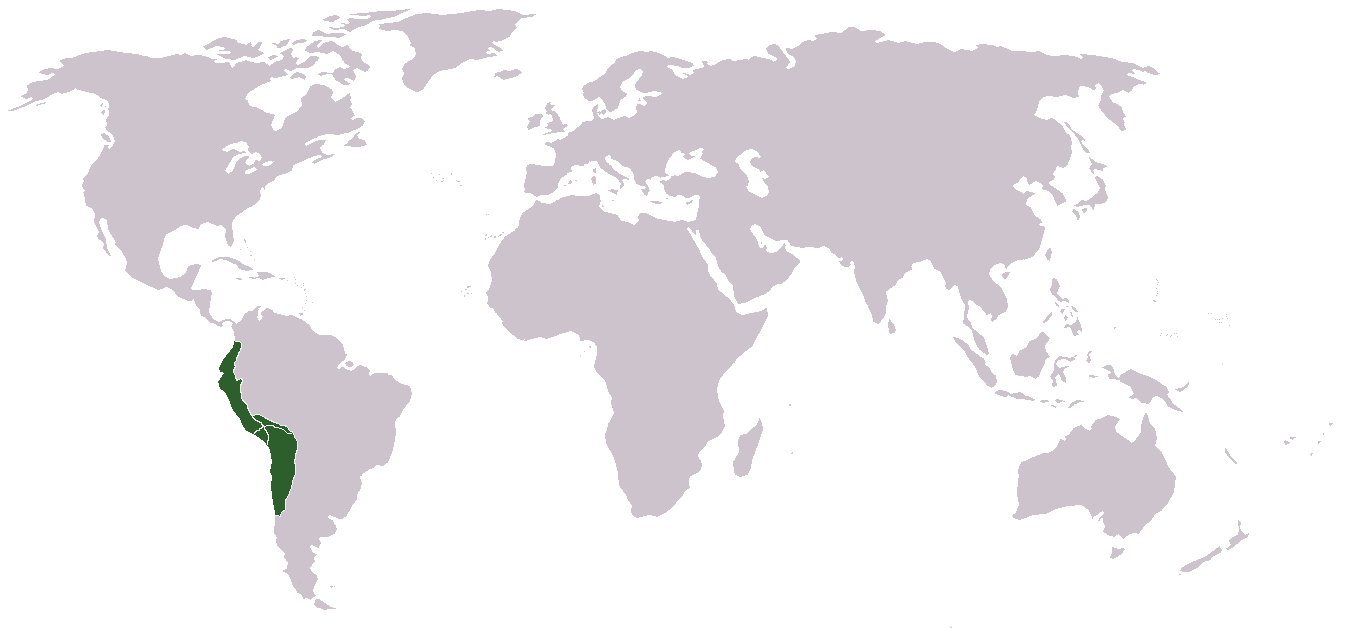
Runa Simi: Tawantin Suyu tarina saywitu.
English: Locator map of the Inca Empire.
Español: Mapa del Imperio Inca
[edit] Origin
Português: Feito e carregato por Huhsunqu.
Runa Simi: Kaytaqa Huhsunqupam tiksishqan yapashqanpis , LocaciónTawantinsuyu.PNG nishqapita rurashqa.
[edit] Licensing
|
File history
Click on a date/time to view the file as it appeared at that time.
| Date/Time | Dimensions | User | Comment | |
|---|---|---|---|---|
| current | 00:41, 19 November 2006 | 1,357×628 (36 KB) | Huhsunqu | (World (more than 2'000.000 km2)) |
| 16:20, 2 March 2006 | 250×200 (6 KB) | Huhsunqu | ||
| 16:15, 2 March 2006 | 250×200 (5 KB) | Huhsunqu | ({{qu|Tawantin Suyu Saywitu}} {{es|Mapa de los terriorios/gobernaciones/provincias (suyukuna) del Imperio Inca}} Category:Inca Category:Former country locator maps ==Origen== Cretaed by Huhsunqu. First uploaded as [[:es:Imagen:LocaciónTawantinsuy) |
File links
The following pages on the English Wikipedia link to this file (pages on other projects are not listed):

