Image:LocationRomanEmpire.png
From Wikipedia, the free encyclopedia
Size of this preview: 800 × 520 pixels
Full resolution (1,084 × 705 pixels, file size: 34 KB, MIME type: image/png)
| | This is a file from the Wikimedia Commons. The description on its description page there is shown below.
|
| Description |
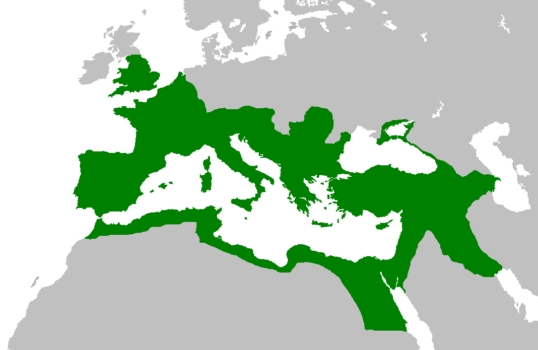
Map of the Roman Empire at its height, under Trajan. Suomi: Rooman valtakunta Trajanuksen aikana.
日本語: 117年(トラヤヌス帝の時代)のローマ帝国の最大領土
Português: Localização do Império Romano em sua extensão máxima.
|
|---|---|
| Source | |
| Date |
5 February 2007 |
| Author | |
| Permission (Reusing this image) |
|

File history
Click on a date/time to view the file as it appeared at that time.
| Date/Time | Dimensions | User | Comment | |
|---|---|---|---|---|
| current | 14:44, 2 June 2007 | 1,084×705 (34 KB) | Medievalista | (Ok, sorry, my mistake... here is the new map) |
| 14:42, 2 June 2007 | 1,084×705 (34 KB) | Medievalista | (Update of the previous map: less of teritory in Africa, withdraw in Britain up to the future Hadrianic wall and improve the trace of the Rhine-Danube frontier) | |
| 03:45, 5 February 2007 | 1,084×705 (35 KB) | Jrockley | (lil bit more Africa, lil less Scandinavia ) | |
| 03:28, 5 February 2007 | 1,259×756 (41 KB) | Jrockley | (Much larger version, as faithful as possible) | |
| 12:24, 9 August 2005 | 250×175 (8 KB) | Kasper Holl | (Map of the location of the Roman Empire at its height, under Trajan. Made from the Blank Map World.) |
File links
The following pages on the English Wikipedia link to this file (pages on other projects are not listed):

