Image:LocationDRCongo.png
From Wikipedia, the free encyclopedia
Size of this preview: 800 × 370 pixels
Full resolution (1,357 × 628 pixels, file size: 45 KB, MIME type: image/png)
| | This is a file from the Wikimedia Commons. The description on its description page there is shown below.
|
| Description |
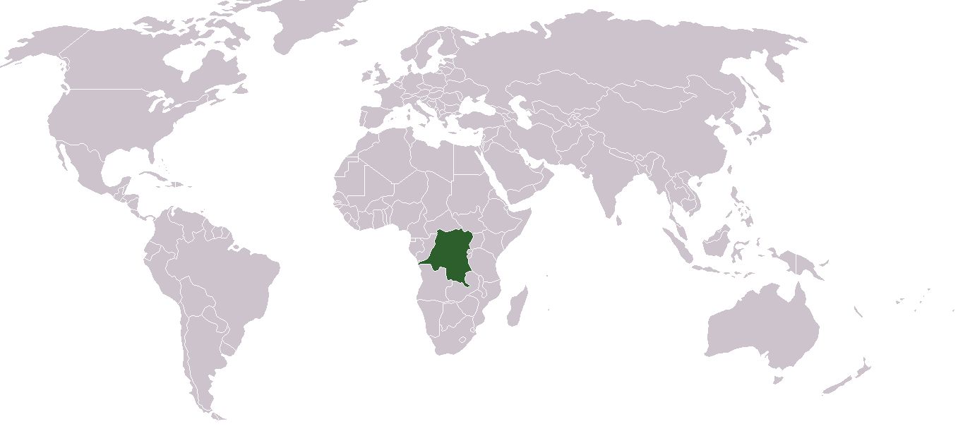
English: Location map for the Demoratic Republic of the Congo
Français : Carte de localisation de la République démocratique du Congo
|
|---|---|
| Source |
own work |
| Date |
2004-12-12 |
| Author |
Dbenbenn from image "BlakMap-Worl" (doesn't exist any more on wikipedia) created by Vardion |
| Permission (Reusing this image) |
see below |
| This image has been (or is hereby) released into the public domain by its author, Vardion at the English Wikipedia project. This applies worldwide. In case this is not legally possible: |
 A vector version of this image (SVG) is available. For more information about vector graphics, read about Commons transition to SVG. Български | Deutsch | English | Español | Français | Galego | עברית | Magyar | Bahasa Indonesia | Italiano | 日本語 | 한국어 | Lietuvių | Polski | Português | Русский | Српски / Srpski | Українська | 中文(简体) | 中文(繁體) | +/- |
 |
File history
Click on a date/time to view the file as it appeared at that time.
| Date/Time | Dimensions | User | Comment | |
|---|---|---|---|---|
| current | 13:28, 24 March 2007 | 1,357×628 (45 KB) | Hoshie | (added Cabinda, which fixed the DR Congo-Angola boundry.) |
| 16:21, 2 December 2006 | 1,357×628 (27 KB) | Moyogo | (Reverted to earlier revision) | |
| 17:52, 19 November 2006 | 1,357×628 (25 KB) | Moyogo | (Why is Belgium coloured?) | |
| 01:05, 9 November 2006 | 1,357×628 (44 KB) | Deltabeignet | (Period-specific map.) | |
| 20:11, 6 June 2006 | 1,357×628 (27 KB) | Helmandsare | (== Summary == Location map for the Democratic Republic of the Congo. Created by User:dbenbenn from Image:BlankMap-World.png. == Licensing == {{PD-user-wikimedia|Vardion|en}} <!--Categories--> [[Catego) | |
| 20:30, 12 February 2005 | 1,357×628 (21 KB) | Dbenbenn | (higher resolution version) | |
| 23:03, 11 December 2004 | 250×115 (17 KB) | EugeneZelenko | (Location map for the Democratic Republic of the Congo.<br/>Originally created for English Wikipedia by Vardion.<br/>{{PD}}<br/>Category:Country locator maps) |

