Image:Little Maquoketa River.gif
From Wikipedia, the free encyclopedia

Size of this preview: 452 × 599 pixels
Full resolution (886 × 1,174 pixels, file size: 195 KB, MIME type: image/gif)
[edit] Summary
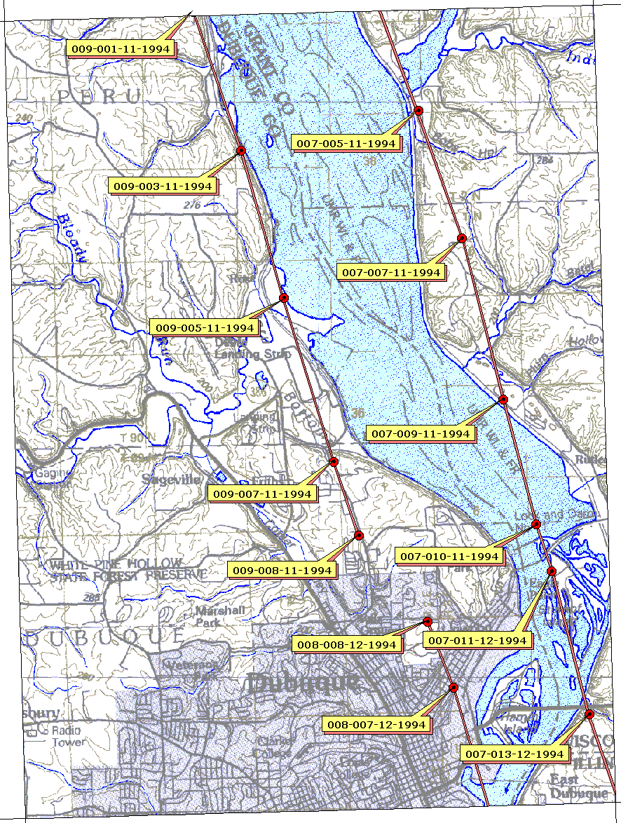
http://www.umesc.usgs.gov/aerial_photos/d/dq2e6_1994ir.gif -- US Geological Survey map.
[edit] Licensing
| This work is in the public domain in the United States because it is a work of the United States Federal Government under the terms of Title 17, Chapter 1, Section 105 of the US Code. See Copyright. Note: This only applies to works of the Federal Government and not to the work of any individual U.S. state, territory, commonwealth, county, municipality, or any other subdivision. |
 |
File history
Click on a date/time to view the file as it appeared at that time.
| Date/Time | Dimensions | User | Comment | |
|---|---|---|---|---|
| current | 18:10, 30 March 2007 | 886×1,174 (195 KB) | Ace Telephone (Talk | contribs) | (http://www.umesc.usgs.gov/aerial_photos/d/dq2e6_1994ir.gif -- US Geological Survey map.) |
- Search for duplicate files
- Edit this file using an external application
See the setup instructions for more information.
File links
The following pages on the English Wikipedia link to this file (pages on other projects are not listed):

