Image:LeasideRoadMap1913HighlightedInGreen.jpg
From Wikipedia, the free encyclopedia
Size of this preview: 800 × 594 pixels
Full resolution (830 × 616 pixels, file size: 443 KB, MIME type: image/jpeg)
| | This is a file from the Wikimedia Commons. The description on its description page there is shown below.
|
| Description |
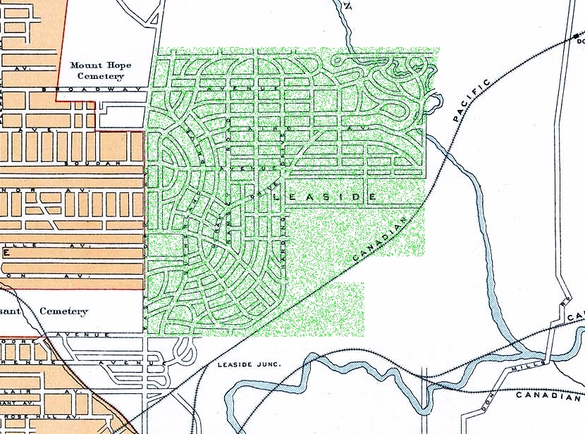
Leaside Area, from the National Atlas of Canada's 2nd edition |
|---|---|
| Source |
National Atlas of Canada, 2nd Edition, available online here |
| Date |
1915 |
| Author |
Government of Canada |
| Permission (Reusing this image) |
Expired Crown Copyright |
[edit] Licensing
This Canadian work is in the public domain in Canada because its copyright has expired due to one of the following:
it was not subject to Crown copyright, and
|
|
|
|
|
Please see en:WP:PD#Canadian images: Yousuf Karsh |
File history
Click on a date/time to view the file as it appeared at that time.
| Date/Time | Dimensions | User | Comment | |
|---|---|---|---|---|
| current | 15:03, 1 October 2007 | 830×616 (443 KB) | WilyD | ({{Information |Description=Leaside Area, from the National Atlas of Canada's 2nd edition |Modification=Green Highlighting of Leaside added by WilyD |Source= National Atlas of Canada, 2nd Edition, available online [http://atlas.nrcan.gc.ca/site/english/map) |
File links
The following pages on the English Wikipedia link to this file (pages on other projects are not listed):

