Lake Managua
From Wikipedia, the free encyclopedia
|
|
This does not cite any references or sources. (October 2006) Please help improve this article by adding citations to reliable sources. Unverifiable material may be challenged and removed. |
| Lake Managua Lago de Managua Lago Xolotlán |
|
|---|---|
 |
|
| Coordinates | |
| Basin countries | Nicaragua |
| Max. length | 65 km |
| Max. width | 25 km |
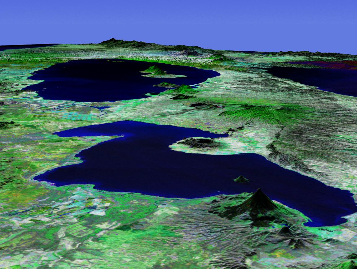
Lake Managua (also known as Lake Xolotlán) (located at ) is a lake in Nicaragua. The (Spanish) name is Lago de Managua or Lago Xolotlán. It is approximately 65 kilometres (40 miles) long and 25 kilometres (15 miles) wide. Similarly to the name of Lake Nicaragua, its name was coined by the Spanish conquerors from "Mangue" (their name for the Mánkeme tribes) and agua ("water"). The city of Managua, the capital of Nicaragua, lies on its southwestern shore.
The lake has been severely polluted, in part by Kodak dumping mercury into the lake in the 1950s, but mostly by decades of sewage being dumped into the lake. Despite the pollution, some of the people of Managua still live along the lake's shores and eat the fish.
It rose 3 metres (10 feet) in five days during Hurricane Mitch in 1998, destroying the homes of many who lived on its edge.
It is also joined by the Tipitapa River to another lake, Lake Nicaragua; however, owing to the extreme pollution, the Bull sharks of Lake Nicaragua cannot migrate to Lake Managua[citation needed].
[edit] Gallery
 from Tipitapa, circa 2003 |

[edit] External links
| This Nicaragua location article is a stub. You can help Wikipedia by expanding it. |

