Image:La2-demis-stockholm-archipelago.png
From Wikipedia, the free encyclopedia
Size of this preview: 352 × 599 pixels
Full resolution (542 × 922 pixels, file size: 34 KB, MIME type: image/png)
| | This is a file from the Wikimedia Commons. The description on its description page there is shown below.
|
[edit] Summary
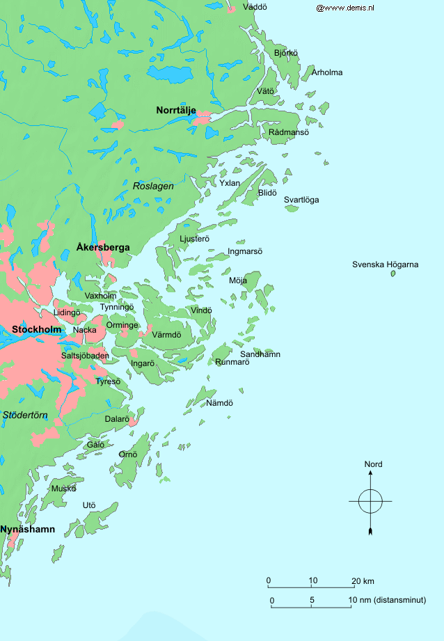
Español: Mapa del archipiélago de Estocolmo
Stockholm archipelago in Sweden.
Bounding box West 17.9°, South 58.7°, East 19.4°, North 60°. Center at 59.35000° N 18.65000° E.
| This image is in the public domain because came from the site http://www.demis.nl/home/pages/Gallery/examples.htm and was released by the copyright holder. Permission is granted to copy, distribute and/or modify this map since it is based on free of copyright images from: www.demis.nl. See also approval email on de.wp and its clarification. |
File history
Click on a date/time to view the file as it appeared at that time.
| Date/Time | Dimensions | User | Comment | |
|---|---|---|---|---|
| current | 02:09, 5 October 2007 | 542×922 (34 KB) | Tene | (Optimised with PNGOUT (0;r)) |
| 12:57, 30 August 2005 | 542×922 (53 KB) | LA2 | (Stockholm archipelago in Sweden. {{demis-pd}} category:Maps of Sweden) |
File links
The following pages on the English Wikipedia link to this file (pages on other projects are not listed):

