Image:La2-demis-onega.png
From Wikipedia, the free encyclopedia
Size of this preview: 411 × 600 pixels
Full resolution (585 × 854 pixels, file size: 93 KB, MIME type: image/png)
| | This is a file from the Wikimedia Commons. The description on its description page there is shown below.
|
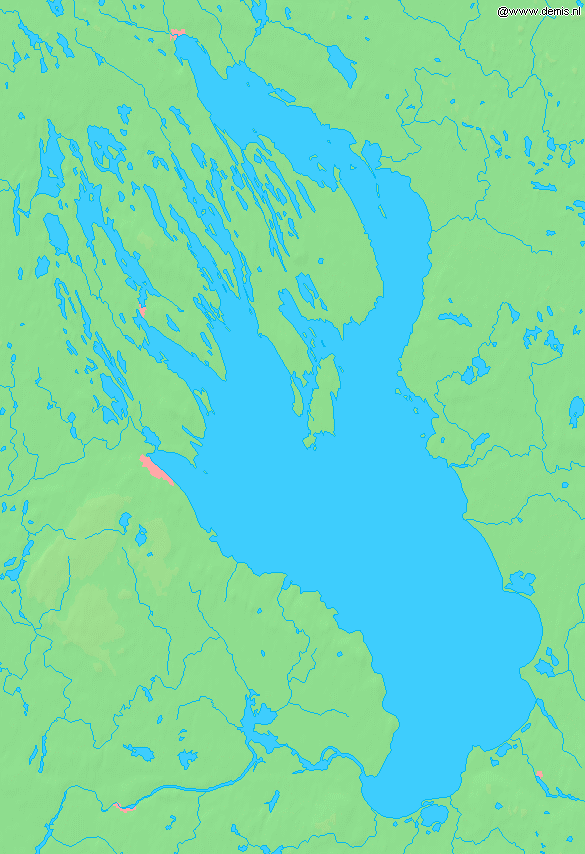
Lake Onega in Russia.
Bounding box West 33.5°, South 60.8°, East 36.7°, North 63°. Center at 61.90000° N 35.10000° E.
| This image is in the public domain because came from the site http://www.demis.nl/home/pages/Gallery/examples.htm and was released by the copyright holder. Permission is granted to copy, distribute and/or modify this map since it is based on free of copyright images from: www.demis.nl. See also approval email on de.wp and its clarification. |
File history
Click on a date/time to view the file as it appeared at that time.
| Date/Time | Dimensions | User | Comment | |
|---|---|---|---|---|
| current | 11:10, 30 August 2005 | 585×854 (93 KB) | LA2 | (Lake Onega in Russia. {{demis-pd}} category:Maps of Russia) |
File links
The following pages on the English Wikipedia link to this file (pages on other projects are not listed):

