Image:Kostyantinyvka-Ukraine-Map.png
From Wikipedia, the free encyclopedia
Size of this preview: 800 × 559 pixels
Full resolution (1,181 × 825 pixels, file size: 27 KB, MIME type: image/png)
| | This is a file from the Wikimedia Commons. The description on its description page there is shown below.
|
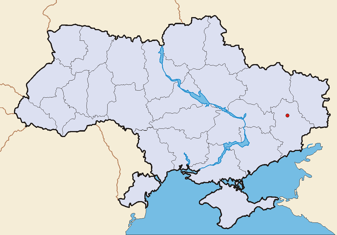
- Description: Kostyantinyvka, Donetsk Oblast, Ukraine - geographical position
- Source: User:Skluesener's Image:Hrebinka-Ukraine-Map.png
- modified by elya

File history
Click on a date/time to view the file as it appeared at that time.
| Date/Time | Dimensions | User | Comment | |
|---|---|---|---|---|
| current | 18:17, 27 June 2005 | 1,181×825 (27 KB) | Elya | (Description: Kostyantinyvka, Donetsk Oblast, Ukraine - geographical position Source: own graphic Original Layout: Sebastian Klüsener, modified by elya) |
File links
The following pages on the English Wikipedia link to this file (pages on other projects are not listed):

