Image:Kennedy's hut edit.jpg
From Wikipedia, the free encyclopedia
Size of this preview: 800 × 534 pixels
Full resolution (1,600 × 1,067 pixels, file size: 667 KB, MIME type: image/jpeg)
| | This is a file from the Wikimedia Commons. The description on its description page there is shown below.
|
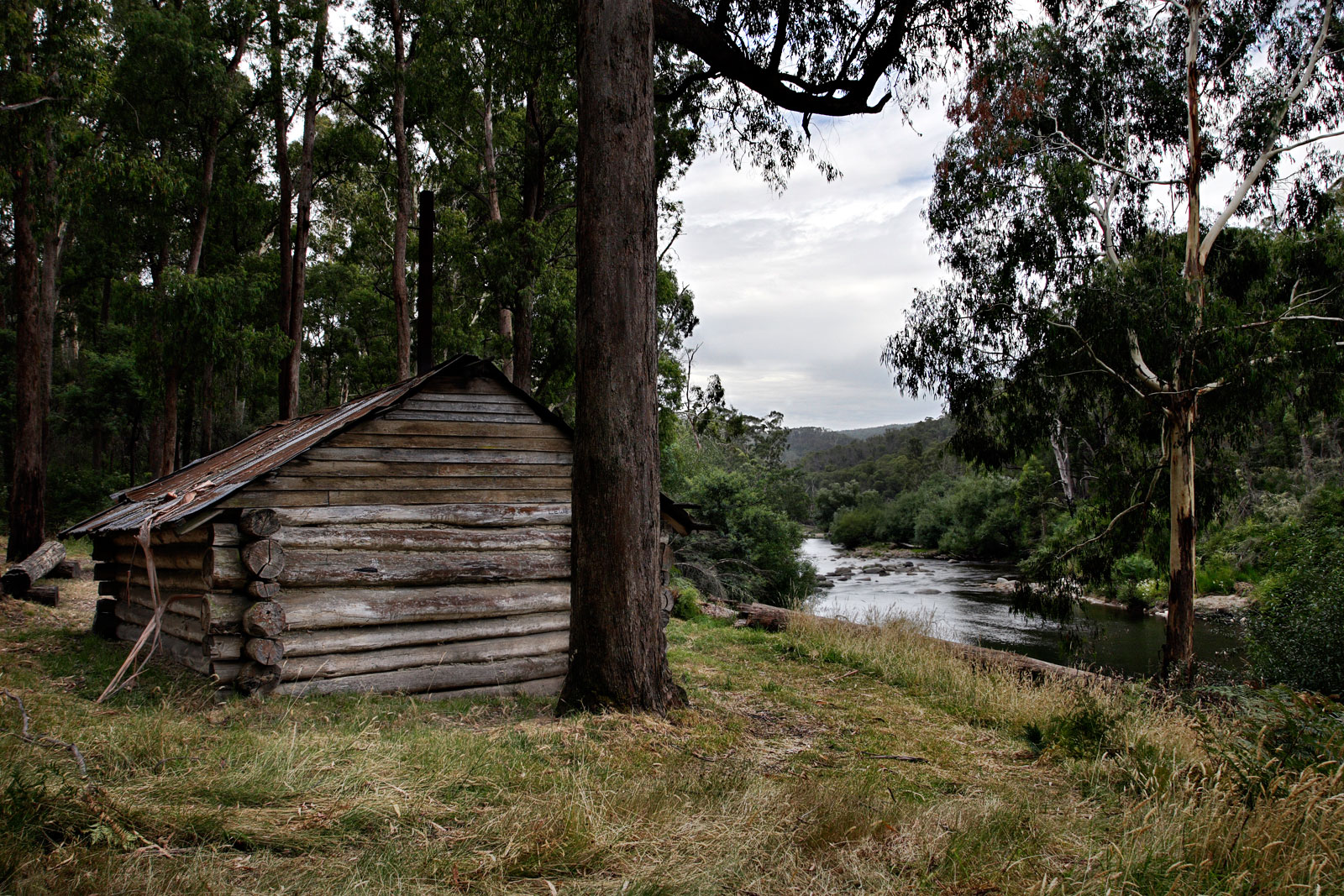
Kennedy's Hut, Alpine Country, East Gippsland, Victoria, Australia
Located on the west bank of the Mitta-Mitta river, about 1 km downstream from the AWT bridge at Taylors crossing and showing on the Benambra Leinstar map at GR 585252, not at 590260 as previously reported.
History The hut was built by Pat Bourke Kennedy in 1967, with assistance of Grace Bourke-Keneddy, Camilla Faithfull and Ker Faithfull, after he took up the lease on 1 December 1965 and applied to build a hut on 25 July 1966.
It was used to support cattle grazing and for recreation. Repairs were last done by the Cooksey family in 2001.
|
||||||


File history
Click on a date/time to view the file as it appeared at that time.
| Date/Time | Dimensions | User | Comment | |
|---|---|---|---|---|
| current | 10:01, 2 April 2006 | 1,600×1,067 (667 KB) | Fir0002 | (Kennedy's Hut, Alpine Country, East Gippsland, Victoria, Australia Located on the west bank of the Mitta-Mitta river, about 1 km downstream from the AWT bridge at Taylors crossing and showing on the Benambra Leinstar map at GR 585252, not at 590260 as p) |
File links
The following pages on the English Wikipedia link to this file (pages on other projects are not listed):

