Image:Karte Lohmühleninsel Berlin.JPG
From Wikipedia, the free encyclopedia
Size of this preview: 800 × 518 pixels
Full resolution (929 × 602 pixels, file size: 169 KB, MIME type: image/jpeg)
| | This is a file from the Wikimedia Commons. The description on its description page there is shown below.
|
[edit] Summary
|
|
[edit] Licensing
| This image (or other media file) is in the public domain because its copyright has expired. This applies to the United States, Canada, the European Union and those countries with a copyright term of life of the author plus 70 years.
العربية | Asturianu | Български | Català | Česky | Dansk | Deutsch | English | Ελληνικά | Esperanto | Español | Euskara | فارسی | Français | Gaeilge | Galego | עברית | हिन्दी | Bahasa Indonesia | Italiano | 日本語 | 한국어 | Kurdî / كوردی | Lietuvių | Magyar | Nederlands | Norsk (nynorsk) | Bahasa Melayu | Polski | Português | Română | Русский | Slovenčina | Slovenščina | Shqip | Suomi | Sámegiella | Türkçe | 中文(简体) | 中文(繁體) | 粵語 | +/- |
File history
Click on a date/time to view the file as it appeared at that time.
| Date/Time | Dimensions | User | Comment | |
|---|---|---|---|---|
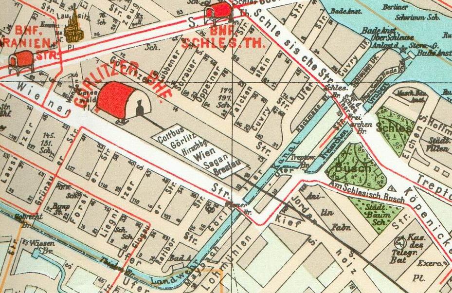
| current | 20:06, 6 March 2006 | 929×602 (169 KB) | Lienhard Schulz | ({| width="100%" | width="50%" valign="top" background="#ffffff" | Deutsch '''de:''' *'''Beschreibung''': Ausschnitt aus dem Pharus-Plan Berlin von 1902 um den Bereich der Lohmühleninsel in Berlin-Kreuzberg. Auf der Gru) |

