Image:Karte Kanton Baselland.png
From Wikipedia, the free encyclopedia
Size of this preview: 800 × 585 pixels
Full resolution (1,181 × 863 pixels, file size: 176 KB, MIME type: image/png)
| | This is a file from the Wikimedia Commons. The description on its description page there is shown below.
|
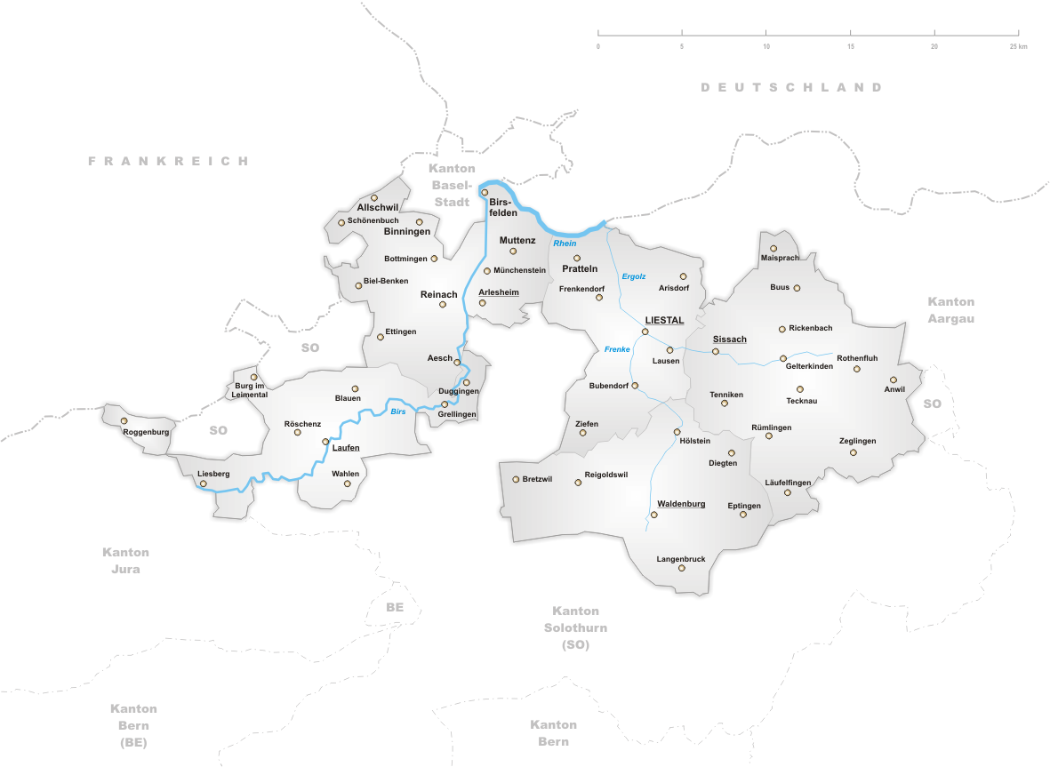
Deutsch: Karte des Kantons Basel-Landschaft.
English: Map of canton Basel-Country.
drawn by/gezeichnet von de:Benutzer:Tschubby 12. Aug 2004

File history
Click on a date/time to view the file as it appeared at that time.
| Date/Time | Dimensions | User | Comment | |
|---|---|---|---|---|
| current | 17:42, 25 November 2006 | 1,181×863 (176 KB) | Tschubby | |
| 16:47, 30 August 2005 | 1,299×949 (206 KB) | Tschubby | ||
| 15:06, 9 June 2005 | 1,181×625 (203 KB) | Voyager | (*'''de''': Karte des Kantons Basel-Landschaft. *'''en''': Map of canton Basel-Country. drawn by/gezeichnet von de:Benutzer:Tschubby 12. Aug 2004 {{GFDL}} 1 Baselland) |
File links
The following pages on the English Wikipedia link to this file (pages on other projects are not listed):

