Image:Karte Gemeinde Leuggelbach.png
From Wikipedia, the free encyclopedia
Size of this preview: 434 × 600 pixels
Full resolution (708 × 978 pixels, file size: 205 KB, MIME type: image/png)
| | This is a file from the Wikimedia Commons. The description on its description page there is shown below.
|
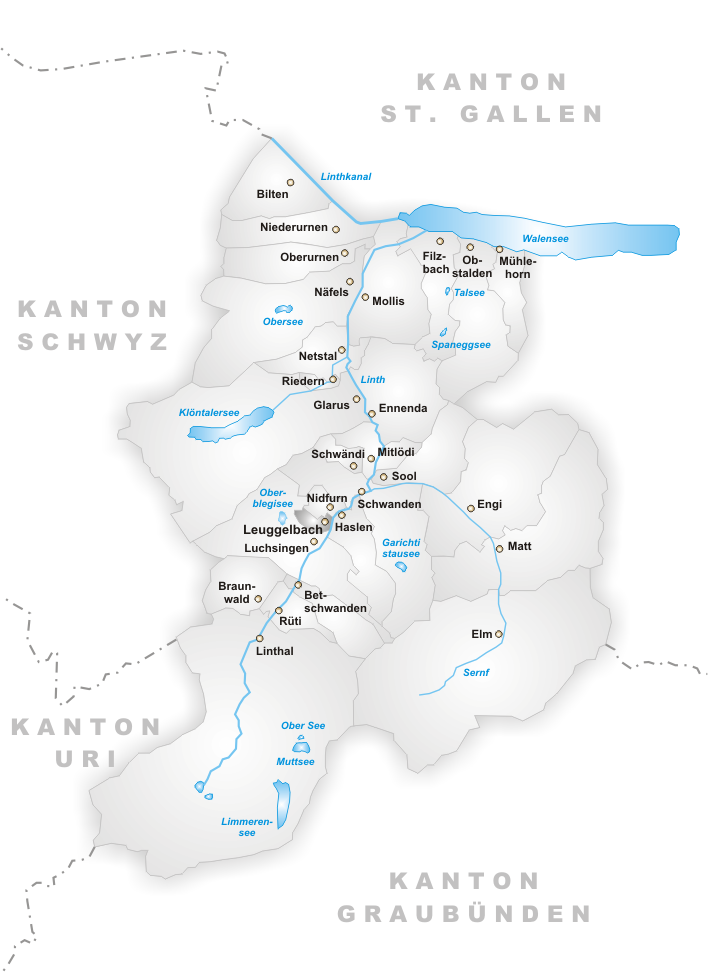
Municipality of Leuggelbach
Map drawn by Tschubby

File history
Click on a date/time to view the file as it appeared at that time.
| Date/Time | Dimensions | User | Comment | |
|---|---|---|---|---|
| current | 07:36, 8 June 2005 | 708×978 (205 KB) | Voyager | (Municipality of Leuggelbach Map drawn by Tschubby {{GFDL}} Category:Maps of municipalities in the canton of Glarus) |
File links
The following pages on the English Wikipedia link to this file (pages on other projects are not listed):

