Image:Kara Sea map.png
From Wikipedia, the free encyclopedia
Size of this preview: 658 × 600 pixels
Full resolution (952 × 868 pixels, file size: 382 KB, MIME type: image/png)
| | This is a file from the Wikimedia Commons. The description on its description page there is shown below.
|
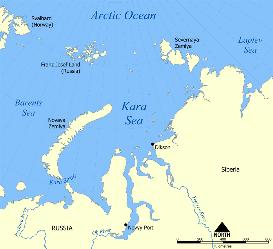
This map shows the location of the Kara Sea north of Russia. The sea is located south of the Arctic Ocean, east of the Barents Sea, west of the Laptev Sea, and is bounded by the Severnaya Zemlya and Novaya Zemlya.
Created by NormanEinstein, November 29, 2005.

File history
Click on a date/time to view the file as it appeared at that time.
| Date/Time | Dimensions | User | Comment | |
|---|---|---|---|---|
| current | 22:12, 29 November 2005 | 952×868 (382 KB) | NormanEinstein | (This map shows the location of the Kara Sea north of Russia. The sea is located south of the Arctic Ocean, east of the Barents Sea, west of the Laptev Sea, and is bounded by the Severnaya Zemlya and Novaya Zemlya. Created by NormanEinstein, November 29, ) |
File links
The following pages on the English Wikipedia link to this file (pages on other projects are not listed):

