Image:Isla-de-Margarita-map-1840-Codazzi.jpg
From Wikipedia, the free encyclopedia
Size of this preview: 800 × 567 pixels
Full resolution (854 × 605 pixels, file size: 150 KB, MIME type: image/jpeg)
| | This is a file from the Wikimedia Commons. The description on its description page there is shown below.
|
[edit] Summary
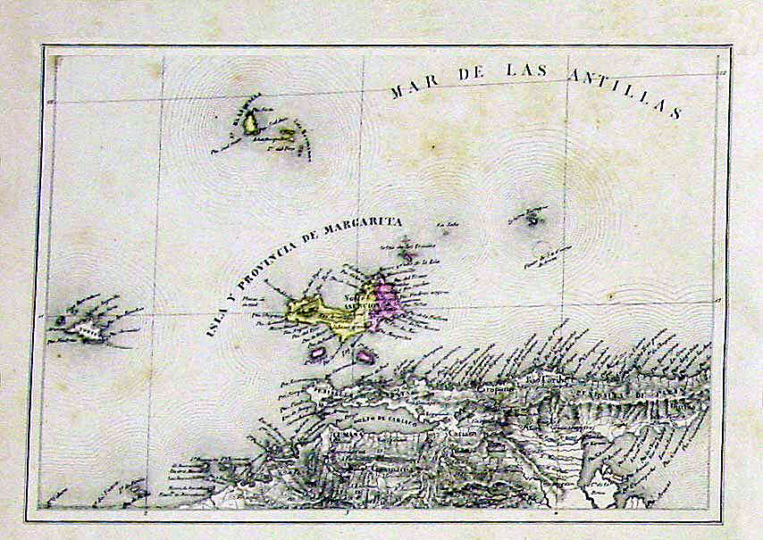
| Description |
map of Isla Margarita, Venezuela |
|---|---|
| Source |
Agustín Codazzi - Atlas físico y político de la República de Venezuela http://www.cervantesvirtual.com/servlet/SirveObras/90927207500726056933680/6563_0029_l.jpg |
| Date |
1840 |
| Author |
Agustín Codazzi |
| Permission (Reusing this image) |
Public Domain |
| This image (or other media file) is in the public domain because its copyright has expired. This applies to the United States, Canada, the European Union and those countries with a copyright term of life of the author plus 70 years.
العربية | Asturianu | Български | Català | Česky | Dansk | Deutsch | English | Ελληνικά | Esperanto | Español | Euskara | فارسی | Français | Gaeilge | Galego | עברית | हिन्दी | Bahasa Indonesia | Italiano | 日本語 | 한국어 | Kurdî / كوردی | Lietuvių | Magyar | Nederlands | Norsk (nynorsk) | Bahasa Melayu | Polski | Português | Română | Русский | Slovenčina | Slovenščina | Shqip | Suomi | Sámegiella | Türkçe | 中文(简体) | 中文(繁體) | 粵語 | +/- |
[edit] Licensing
This photographic reproduction is therefore also in the public domain. العربية | Česky | Deutsch | English | Ελληνικά | Español | فارسی | Français | עברית | Bahasa Indonesia | Italiano | 日本語 | 한국어 | Magyar | Nederlands | Polski | Português | Română | Русский | Slovenščina | Српски / Srpski | Basa Sunda | Türkçe | Українська | 中文(繁體) | 中文(简体) | +/- |
File history
Click on a date/time to view the file as it appeared at that time.
| Date/Time | Dimensions | User | Comment | |
|---|---|---|---|---|
| current | 20:06, 21 September 2006 | 854×605 (150 KB) | Bejnar | ({{Information |Description=map of Isla Margarita, Venezuela |Source= Agustín Codazzi - Atlas físico y político de la República de Venezuela [http://www.cervantesvirtual.com/servlet/SirveObras/90927207500726056933680/6563_0029_l.jpg http://www.cervante) |

