Image:Ireland map County Louth Magnified.png
From Wikipedia, the free encyclopedia
No higher resolution available.
Ireland_map_County_Louth_Magnified.png (188 × 244 pixels, file size: 8 KB, MIME type: image/png)
| | This is a file from the Wikimedia Commons. The description on its description page there is shown below.
|
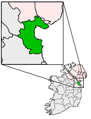
Ireland Map with County Louth Magnified.

File history
Click on a date/time to view the file as it appeared at that time.
| Date/Time | Dimensions | User | Comment | |
|---|---|---|---|---|
| current | 02:03, 28 May 2005 | 188×244 (8 KB) | Bastique | |
| 03:55, 21 May 2005 | 188×244 (10 KB) | Bastique | (Ireland Map with County Louth Magnified. {{GFDL}} Category:Maps of Ireland) |
File links
The following pages on the English Wikipedia link to this file (pages on other projects are not listed):

