Image:Invercargill.png
From Wikipedia, the free encyclopedia
Size of this preview: 460 × 599 pixels
Full resolution (520 × 677 pixels, file size: 11 KB, MIME type: image/png)
| | This is a file from the Wikimedia Commons. The description on its description page there is shown below.
|
[edit] Summary
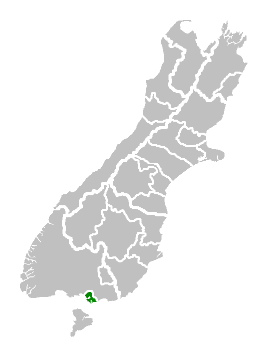
| Description |
Map of South Island showing location of Invercargill Territorial Authority. |
|---|---|
| Source |
Own work of author |
| Date |
8 December 2006 |
| Author | |
| Permission (Reusing this image) |
see below |
[edit] Licensing
| This image has been (or is hereby) released into the public domain by its author, Furius at the English Wikipedia project. This applies worldwide. In case this is not legally possible: |
File history
Click on a date/time to view the file as it appeared at that time.
| Date/Time | Dimensions | User | Comment | |
|---|---|---|---|---|
| current | 16:12, 31 January 2008 | 520×677 (11 KB) | Andy king50 | ({{PD-user-w|en|English Wikipedia|Furius}} {{Information |Description=Map of South Island showing location of Invercargill Territorial Authority. |Source=Own work of author |Date=8 December 2006 |Author=en:User:Furius |other_versions= }} ) |
File links
The following pages on the English Wikipedia link to this file (pages on other projects are not listed):

